.jpg)
Dimple Dell Regional Park is a large gully that has been set aside as a park. It features miles and miles of open trails that offer different ways to experience the gully. Today I decided to visit the new pedestrian bridge that spans the gully and connects the White City Trail to the Sandy Canal Trail and well, that trail was kind of meh, so I decided to add this on. We come here often, and have done the west end before, but this will be the first time we’ve used the Porter Rockwell Trailhead.

Quick Details:
Length: We did a 2 mile balloon. There a much longer options as well. The entire Dimple Dell Trail appears to be about 4.7 miles, one way. So 9.4 out and back.
Trail Type: Balloon, out and back or connecter options
Difficulty: DR3. It’s pretty easy going.
Elevation Gain: We did about 75 feet. The full thing would be 686 Ft. According to google.
Restroom: No. I would guess that the nearby Dewey Bluth Park has one, but I didn’t check.
Dogs? Yes, leashed. This is also right next to the Sandy Dog Park if you want to add that.
Other Info:
To Get Here:
Take the 90th South exit, or the 106th South exit (depending on your location) head east towards state street. From 90th go south, from 106th, north. Turn east on Sego Lily Dr. Approximately 10000 S. Turn right on 300 east. Take that to the end.
The Trail:

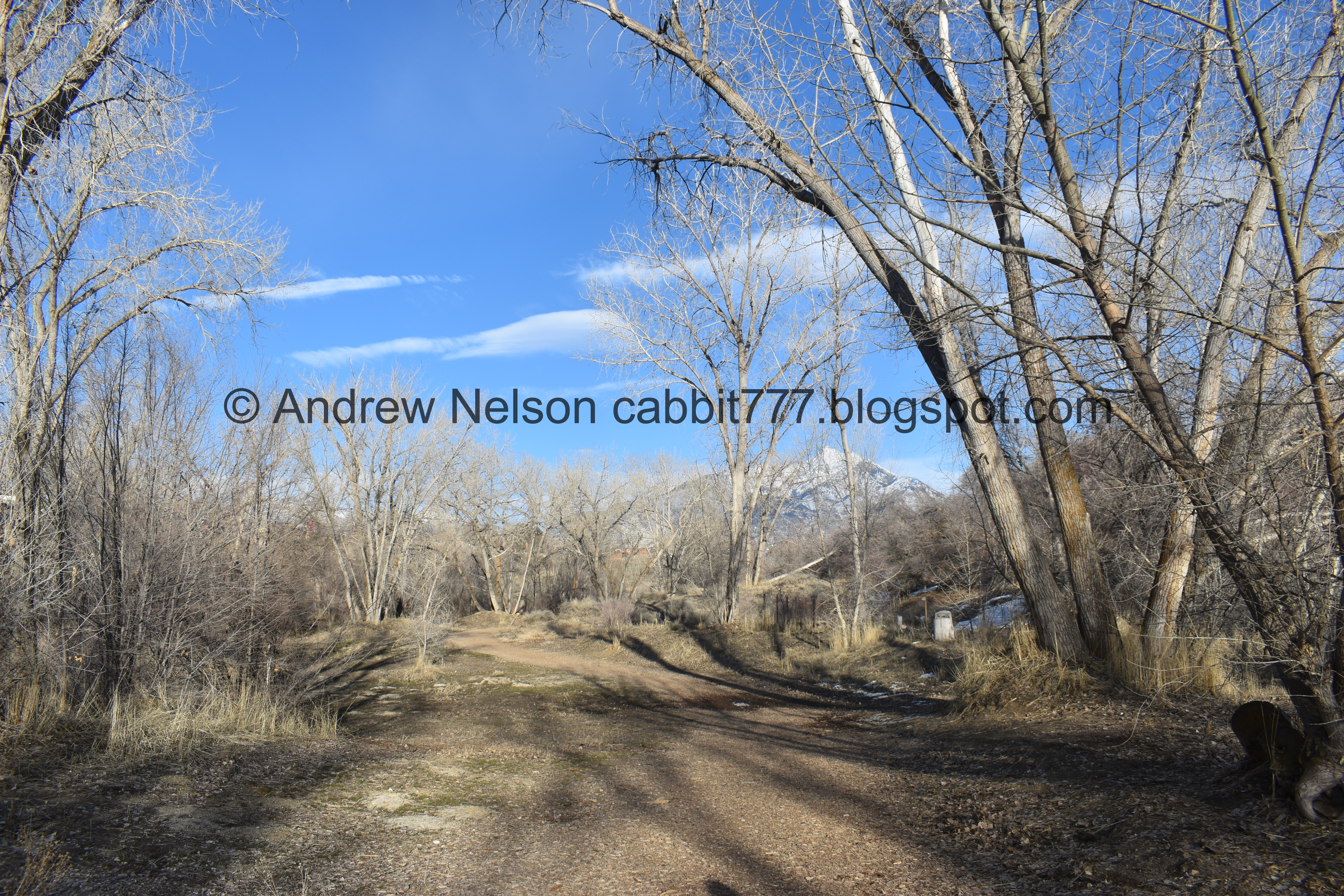
There is a quick descent from this trailhead.

Forest and mountains.
Forest.

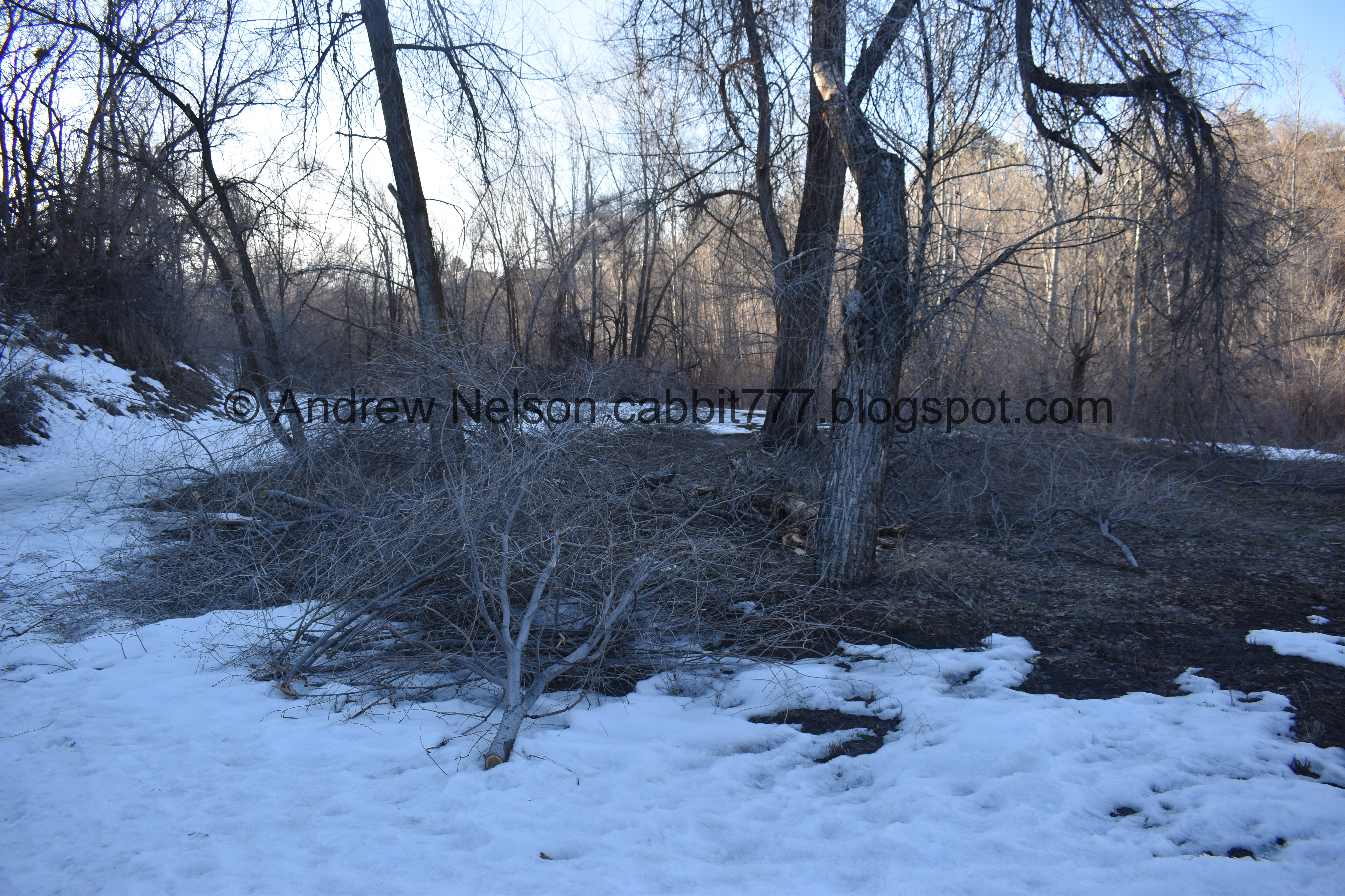
Dry Creek being well, dry.

With an island.

The mountains.

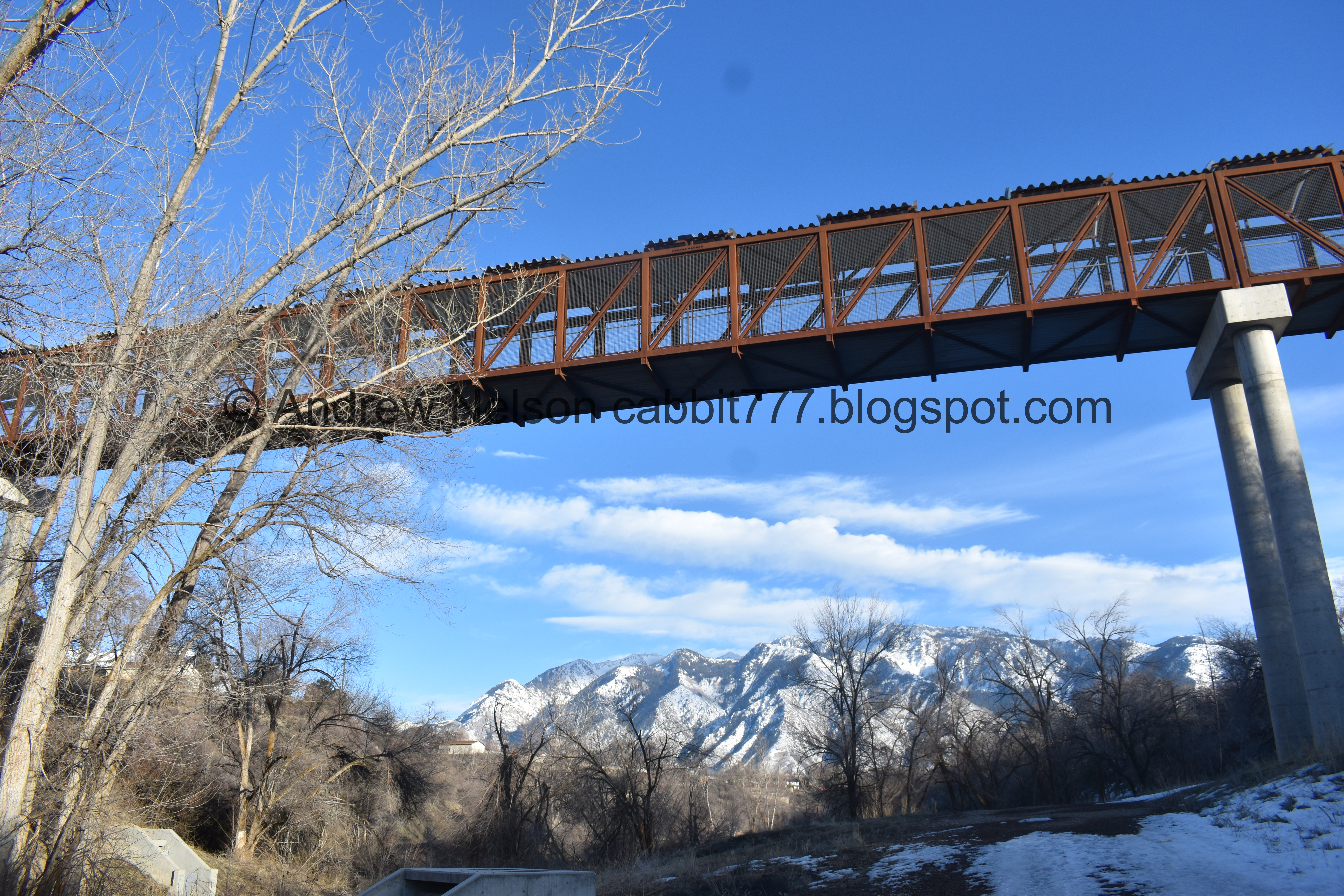
Long bridge.

We took a shortcut trail to avoid climbing a hill. It’s a little thinner but definitely established.

Uh oh. There is a downed tree blocking the path. Luckily there was an alternate path already established.

It put us in the creek bed, which was thankfully dry, where we found a second bridge.

Crossing the bridge.

Back on the main trail.

Heading underneath 700 east.

More forested section.

Pair of birds nests.

More forest.

The pedestrian bridge we crossed earlier.

With the mountains.
Again.
.jpg)
Panoramic, kid of distorted it a bit.

Underneath.
Mount Jordan.

Looking back at the pedestrian bridge.

This looks like the Silica Pit in Corner Canyon.

Looks like someone has driven through here recently. I imagine the rangers are allowed to do so. Plus, as you will see, it looks like they have been doing some cleanup from downed trees.

Mount Jordan again. Well, we arbitrarily decided on going a mile out, and here is a mile, so we turned back here.

The pedestrian bridge again.

Closer.

Back to the forested section.


It looks like the last windstorm we had took a tole on the trees through here.

Heading back under 700 east.
More wind damage.

Evidence of the cleanup efforts. That was a big tree!

Through the trees.

We decided to cross the bridge and continue down on the other side of Dry Creek.

The lower bridge.

This home owner seems to be having a bad time.

More forest.

The dry, Dry Creek bed.

This side has a bunch of rolling hills.

Last look at Mount Jordan.
Well that was a nice hike! Not too much snow, not too much mud. Not super busy either and all of the dog owners had their dogs on leash for once, hurray! 8 out of 10 squirrels today.
As for difficulty, it is pretty easy going for the most part, DR3.
Dogs are allowed, leashed. Please clean up after your furry friends.

No comments:
Post a Comment