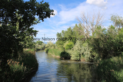
This section of The Jordan River Parkway is pretty nice. It passes through a golf course so its less walking by peoples back yards. It is a good section for birding as well. We have been having the most amazing mild spring after a long rough winter. So I have been taking some extra time to go out and enjoy it.
Quick Details:
Length: 3.4 miles out and back.
Trail Type: Out and back, connector
Difficulty: DR2. It is paved and fairly flat.
Elevation Gain: About 20 feet.
Restroom: There are some at Shields Lane Park.
Dogs? Yes, leashed.
Other Info: Cities: West Jordan, Sandy, South Jordan. Mile Markers 21 and 22.
To Get Here:
Head to 90th S. There is a golf course/driving range on the south side of 90th south just west of 7th west. This is where I parked, as far west as I could. For this segment you will head west and then south.
Note: I assume its okay to park here for the trail as it is a main trailhead on the official map, and there were no signs barring the action. But, if you don’t agree simply park at the Shields Ln. trailhead and do it backwards.
The Trail:
Nice view of Mount Jordan.
The first of 3 bridges.
Upstream
Downstream.
Crossing the river puts us into Sandy. You’ll find that crossing the river almost always puts you into a new city as it is generally used as a border.
Entering a forested area, with the golf courses on either side if you here. Your chances of getting beaned by a golf ball are small, but not zero.
Beaver activity.
Various flowering trees.
Quail.
Mile Marker 22.
Side bridge. This gets golfers to other parts of the golf course and you don’t need to worry about it.
Dry Creek. This comes out of Bell Canyon and Dry Canyons, goes through Dimple Dell, and down to here where as we will see in a moment joins the Jordan River.
I guess technically this is the 3rd bridge, but the 2nd bridge you actually use.
Downstream with the Dry Creek Confluence.
Upstream.
3rd bridge you will cross. This one crosses over the North Jordan Canal.
The canal.
I’ve decided to dub this tree the cormorant tree. Last time I was here there were like 10 on it, but there usually seems to be a couple on it during the warmer months anyway.
Honestly it really surprised me that they hang out in trees. They don’t appear to have the feet for it, but I guess they do. I usually see them on the water though.
I caught his or her pretty blue eyes.
They are really fascinating birds and I can’t believe I made it into my forties before seeing/acknowledging one.
A little stream.
Another one. Not sure what they are. However there is a nearby road called Trimble Creek Dr.
Trail counter. Not a camera, just a laser or something else that records how many people pass by.
The locks for the North Jordan Canal.
Entering South Jordan. That seemed like a long break of unincorporated area.
The locks for the Jordan River.
Cormorant flying overhead.
Ramp for canoers to pull out before the locks. As the sign says, there is another one to go back in 700 feet downstream.
Riverbend.
Panoramic.
Don’t know what this is but it is pretty.
The river is wide and high before it is split for the umpteenth time.
Mount Jordan.
Little hummingbird.
Found another batch of cormorants.
I’ve found that each city had their own design of benches along the parkway. South Jordan’s are pretty nice.
Seems a bit early for the sunflowers to start popping up.
Looks like a bunch of condos are going to pop up here sometime soon.
Mile marker 21.
The tunnel under Shields Lane.
Inside.
Shields Lane Park.
South Jordan’s JRP Sign.
The river with another canoe ramp.
Well, this was a good turn around point.
Back to the tunnel under Shields Lane.
Inside. I.. don’t know where the water is coming from.
Mile Marker 21 again.
Nice forested section.
Hawk flying above. It was gone by the time I got my telephoto lens on.
But not a big loss as I knew I was nearing the cormorants again.
Thistle.
Back to the cormorant.
I think this is tamarisk.
Phragmites.
One of a couple of neighborhood connector trails.
The river.
Riverbend.
Another panoramic.
Back to the cormorant tree.
So majestic.
Crossing over the North Jordan Canal.
The “cormorant tree” again.
Crossing the Jordan River again.
The Dry Creek Confluence again.
Upstream.
Downstream.
Back into Sandy.
Dry Creek again.
The river is in there somewhere.
Mile Marker 22.
Red-winged black-bird.
Into the wooded section again.
Back down to the first bridge.
Upstream.
Back to West Jordan.
Well, that was a nice little walk. Not too busy, and I loved the cormorants. They are really neat birds. It was lovely weather for it too, I am glad I got out to enjoy it. 7 squirrels out of 10.
As for difficulty, it is fairly flat and paved. DR2.
Dogs are allowed, but should remain leashed at all times.
.jpg)


.jpg)


.jpg)


No comments:
Post a Comment