.jpg)
The Terrace Hills Loop is a great, easy trail in the Avenues. The trail features great views of downtown and the valley. As well as the foothills, which are absolutely stunning this time of year. Nice and green, and lots of flowers. It was a little tricky trying to ensure we were on the right path and we ended up doing a little extra because of it, but it is super pretty so I did not mind the random detour we did today.

Quick Details:
Length: The main loop is about 1.4 miles. We added an additional mile due to not taking the right turn.
Trail Type: Loop
Difficulty: DR3. Its a bit of a climb, but not too bad.
Elevation Gain: About 250 feet. We did about 600 feet.
Restroom: No.
Dogs? Yes, leashed.
Other Info:
To Get Here:
Take South Temple east, after State St it will turn into 2nd ave. Take 2nd ave 9 blocks to I St and turn left. Take I St. 12 blocks to 13th Ave. and turn right. Immediately take the left fork to Northcrest dr. after a half mile turn left on Terrace Hills Dr. Follow that for .4 miles to the Cul Du Sac located at 1036 Terrace Hills Dr. Find street parking.

Heading up I Street (Passenger Seat Photography (PSP).
The Trail:

The trailhead. There are actually 2 trailhead here an east and a west one. For the loop it doesn’t matter which one you use, we decided to go up the east route today.

This trail is part of The Bonneville Shoreline Trail (BST).

Information sign. Aside from being the BST this is also the East Terrace Hills Trail.

Heading up through the scrub oak.

I love these fun signs asking you to clean up after your dog. We have seen a couple different versions on popular trails around the valley. This is the first time I have seen this iteration though.

More scrub oak.

Google lens is telling me ballhead waterleaf, which seems correct.

The rolling hills above. I absolutely LOVE the foothills this time of year. So green and pretty.

People on the trails above.

Green hills and puffy clouds.

The trail we will head back down on… eventually.

Found a big patch of annual honesty, or more commonly known as money plants. Thanks to my garden queen friend I have one of these growing in my garden.


Loads of them.

Arrow leaf balsamroot.

Continuing the climb.

More balsamroot.

Don’t forget to look behind you once in a while and check out the view.

Some phlox.


Oh boy. This was a bit more of a climb than I was expecting.

At about 3/10ths of a mile you will come to the first main junction. To do the short loop, you want to go left here.

Unfortunately, the loop mentioned at the beginning, is never mentioned again. So we thought we had to keep going.

So, forward towards the City Creek Saddle. Another half mile didn’t seem to fit the expected mileage in my head, but… whatever we’ll figure it out. Famous last word haha.

The Avenues Twin Peaks. Also a good hike, but there are a few tough spots.

Looking down at the gully below.

The mountains to the south.

Downtown SLC.

The Salt Lake Valley.

A little further east. I am not 100% sure if that is 13th east, or 7th east stretching across the valley. Leaning towards 13th.

Black mountain and the Avenues Twin Peaks.

Closer view of the twins.

The butterflies were not being nice today and would not sit still for long. I managed this shot, but its not that great.

Downtown again.

Milkvetch.

More arrow leaf balsamroot.

Some trail damaged from the run off.

The valley again. Still leaning towards that being 13th east.

The twins again.

Water tank.

I am not sure if this is Mount Van Cott, or Mount Wire. I am leaning towards Wire. I have been meaning to do that one for a bit now, it just hasn’t happened yet.


More arrow leaf balsamroot.

The twins again.

With more of the ridge.

Adorable, itty bitty little pink flowers.

More balsamroot.

A hill full of them.

The twins again.

More itty bitty flowers.

More balsamroot.

More phlox.

More balsamroot.

An unnamed peak.

The twins again.

We made it to the City Creek Saddle. Phew!
Huh, I didn’t take a picture of the signs, but again, none of them mentioned the loop we were trying to do. They did mention going to the 18th Avenue Trailhead, but at the time, I didn’t really know where that was. So, we decided to head back down to the previous trail split. Now that I am looking at the map I think we could have still made a loop going this way and it would have probably been about the same mileage we put in today, but hey, maybe next time.
Also, if you continue forward, or to the right of this image, that is the way to the Avenues Twin Peaks.

Said Twin Peaks.

Heading back down where we found ourselves almost perfectly lined of with what I am still pretty sure is 13th East.

The mountains towards the south.

The green foothills.

Hill full of balsamroot.

Closer.

Magpie.

The valley again.
.jpg)
Panoramic.

Downtown SLC again.

A pair of turkey vultures.

Little closer to one of them. These are pretty easy to identify with the small heads, and the darker wing color on the head and shoulders.
.jpg)
Another panoramic.

A cloud and it’s shadow.
.jpg)
Another panoramic.

Helicopter.

Back down to the lower junction.
We took the fork to the right even though we were still not 100% sure this was where we needed to go, but decided to go for it. Worst case scenario, we have to turn around. Note, it did get us where we wanted to go.

This is the BST Valleyview Trail.

Through some scrub oak.

Myrtle spurge. Be sure to avoid touching this noxious weed. It’s sap can cause burns and rashes.


More balsamroot.

More phlox.

Downtown SLC again.

Thin side trail up this little gully. Not sure where that leads.

More milkvetch.

The valley again.

This trail is quite a bit more thin than the main trails.

The valley again.
.jpg)
Another panoramic.

Continuing along.

For the most part the trail is alright, but there were a couple spots that made me pause.
But then it is just fine again.

More balsamroot.

The valley again. They are not kidding with the name of Valley View.

This is what hiking on wet, muddy trails does. So you know, if the mud is sticking to your boots, or tires, turn back.

Hills above.

Another little side gully.

Looking down.

A little more up. Oof.

The valley again. The power lines are a bit of an eyesore, but it is what it is.

Trail split. We decided to head left, but you can continue forward a bit, despite what the trail signs say. This shortcut probably only shaved off ~1/10th of a mile or so.

This sign at least let us know it would take us back to the trailhead we used, and wasn’t much further, so we decided it was probably best to head that way. However, like I mentioned, you can go the other way and get back to the trailhead.

The valley again.

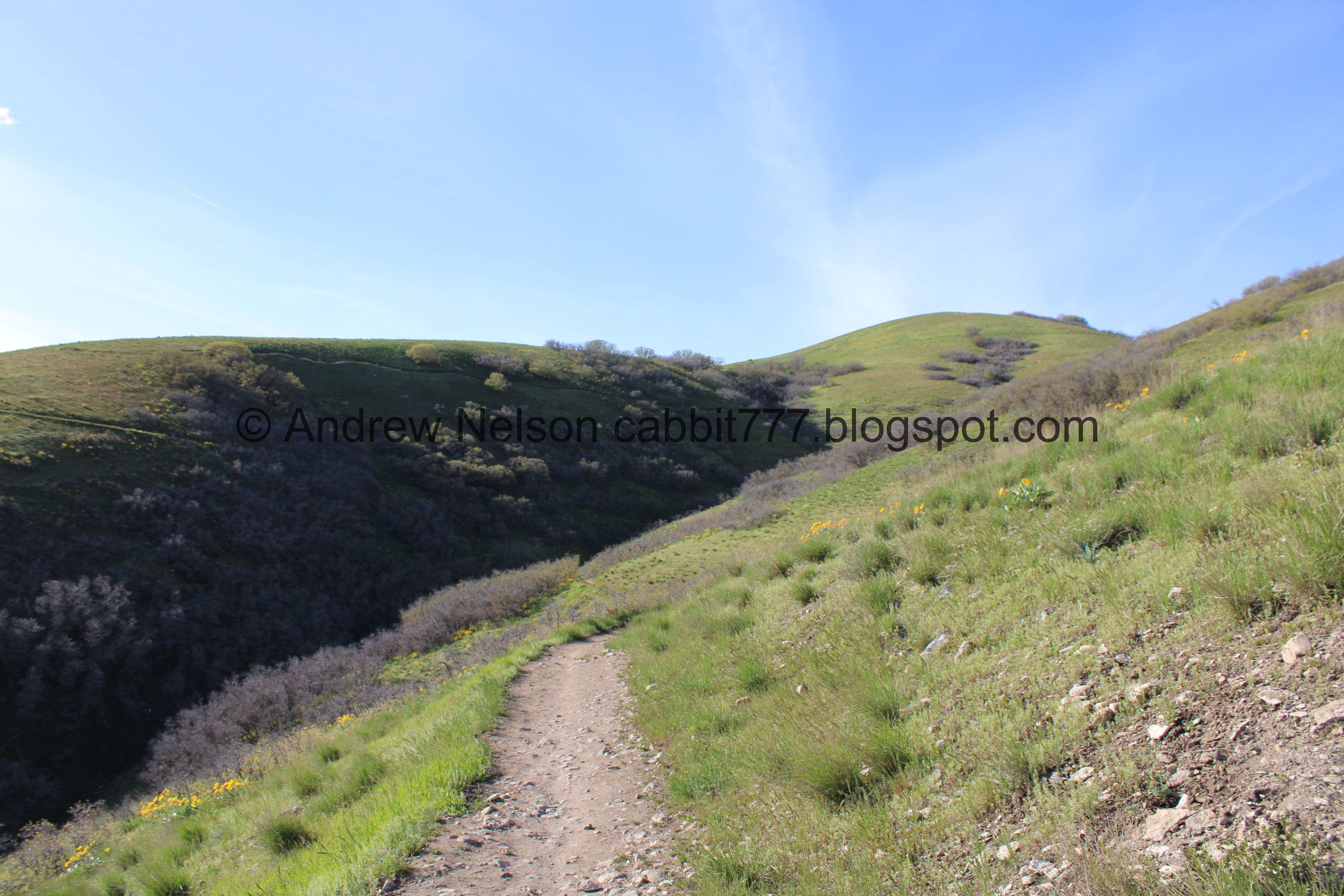
The trail we are heading down. I am not normally a fan of trails that are cut into the side of the mountain with not a lot of trees, however, here at least the hills are not very steep, so I didn’t really struggle on it at much as I have on other trails.

More balsamroot.

Looking back towards the twins.

The trail ahead again.

More balsamroot.

On the ridge.

More trail ahead.

The valley again.

Yellow flowers.

The valley again.

Thin trail along the foothills.

More balsamroot.

Our shadows, well our heads anyway.

The foothills.

The trail ahead.

The valley again.

Where we will be heading down.

Another water tower.

Another trail marker that confirms we are heading back to the trailhead we used.

The foothills again.

Black Mountain and The Avenues Twin Peaks.

Big switchback.

The water tower again.

Heading down.

Twin pipes. I imagine this was the original gate.

Rock pile.

Then the trail becomes paved for the last little bit.

Another fun pick up after your dog sign.

Wow! A drinking fountain at this trailhead. It was not operational just yet.

Back to the west trailhead.

A little free library.

Looking back at the west trailhead.

Blooming trees.

Passing by the Salt Lake City Cemetery on the way to our next destination (PSP).
Well, aside from going the wrong way at first, that was a fun hike with incredible views and fantastic wildflowers! It wasn’t too terribly busy today either. While the signage has been improved quite a bit in the area, I still found it to be leaving a bit to be desired with the confusing web of trails. So I am going to remove 1 squirrel for that. 9 out of 10 squirrels today.
As for difficulty, it did have a bit of a climb, but it wasn’t too bad. DR3.
Dogs are allowed, but should remain leashed at all times.

No comments:
Post a Comment