This section of The Jordan River Parkway is probably the highest point along the entire trail. It features the somewhat interesting Jordan Narrows and just some lovely views along the river. This segment was a little longer than I would have liked at 3.2 miles, and the following segment a bit short at 1.3, so I combined them and cut it in half. So I planned for about 4.5 miles out and back.
Quick Details:
Length: I did 4.96 out and back. The full segment would be 6.4 miles out and back.
Trail Type: Out and back, connector trail.
Difficulty: DR3. Its paved but there are a couple good climbs.
Elevation Gain: About 300 ft.
Restroom: Yes at Jordan Narrows Park.
Dogs? Yes, leashed. Please clean up after your furry friends.
Other Info: Mile Markers 8 and 9, Cities Bluffdale, Unincorporated?, and Lehi.
To Get Here:
Take Redwood Rd to Jordan Narrows Rd. Which is about 3.2 miles south of 13400 S. Turn Left and follow that down to Jordan Narrows Park about a half mile down.
The Trail:
Trailhead Kiosk.
Fantastic view of Mount Timpanogos from here.
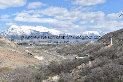
View of the Salt Lake Valley.
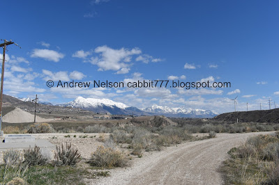
Mountains to the south.
To the north.
Lone peak peeking up behind Point of The Mountain.
A couple turkey vultures.
The point to point mileage does not include the .15 miles to the trailhead. So I mentally added that to my halfway point.
Narrow little gully.
Crossing Jordan Narrows Rd. There isn’t a lot of traffic on it.
First view into the Jordan Narrows.
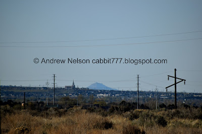
I think I finally found the little peak that Alien Tower sits upon. I think it is the lower one to the left. Of course I cant see the tower itself, but the peak looks right.
The narrows again.
With Mount Timpanogos.
The Utah Lake Distribution Canal. This is as far back as I can trace this canal, I am not sure where it begins.
Beef Hollow.
Cliff swallow.
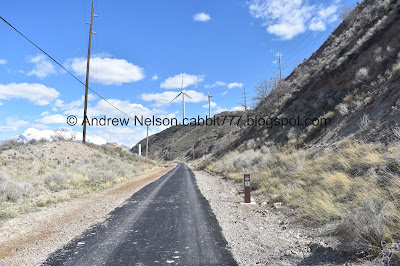
Looks like they redid the asphalt through here.
The narrows again.
Where the Jordan River is trifurcated for the first time (seriously it is trifurcated, bifurcated, and trifurcated and bifurcated again and probably a few more times). The Utah and Salt Lake Canal on the left. The Jordan river in the middle, and the East Jordan Canal on the right.
More of the narrows.
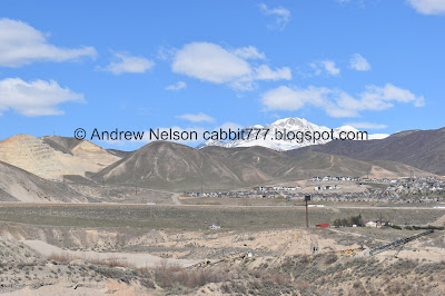
To the south.
Information sign.
It speaks of how the canals were dug in the late 1860’s/early 1870’s and how they helped with agriculture in Bluffdale.
Oh. it also answered that random question, the Utah Lake Distribution Canal is referred to as the Utah Lake (pump) Canal and says it originates here as well. So I guess it is pumped up here.
Looking north again.
Mount Jordan peeking up behind Point of the Mountain again.
Panoramic of the narrows.
The sign referred to the Utah and Salt Lake Canal (on the left) as Utah Lake/Salt Lake Canal (big) and the East Jordan Canal (on the right) as the The Draper/East Jordan, Salt Lake City, South Jordan (little). And of course what is left of the Jordan River in the middle.
Mile Marker 9.
Blank trail marker? At first I thought Lehi was too cheap to put up for a city marker. Turns out, this is the Utah County Border, and this part is unincorporated? Or Federal? Or possible something else, but I think now we are on Camp Williams property.
The other side.
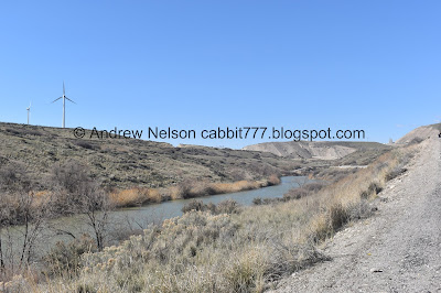
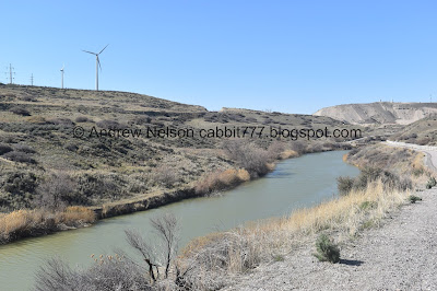
Windmills, and one decommissioned one.
Random old machinery.
Windmills make a lot of noise when you get this close to them.
Mount Jordan behind Steep Mountain.
The Jordan River below. I think we are still in the narrows.
Mount Jordan again.
Closer to the windmill.
Mount Timpanogos.
Another narrow gully.
At about the mile mark you will come to this amazing overlook. This is about as far as we made it last time we did this trail.
Panoramic view.
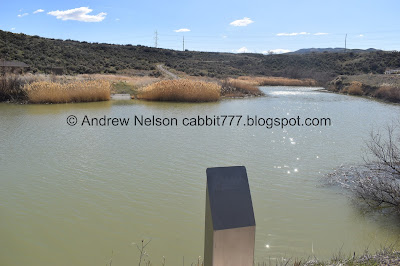
I thought this was the river at first, but it turns out it is a separate pond.
Quite a steep descent!
It’s quite faded but it says mile 8 1/2. I guess in Utah County they have added the half mile markers.
Huh, some information signs. Since I was hiking to a mile rather than a destination today, I decided I would check it out on the way back.
The Jordan River is pretty darn impressive before it is split up so much.
Looking north-ish.
South-ish.
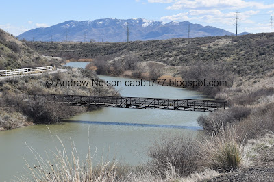
The bridge.
The river again.
Wait.. mile 9? We already passed mile 9.
Oh. I guess it is something else? That’s not confusing at all.
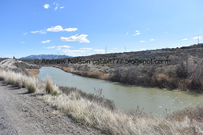
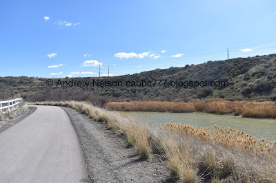
Now the trail follows the river quite a bit more closly than some of the previous sections.
It’s quite lovely down here.
Some ducks and some American coots.
So pretty.
We’ve been skirting Thanksgiving Point’s property since crossing over the river, and will continue for the rest of the way today. I never realized how big the property was!
Mile marker 8.
Due to the other trail system mile markers, I was a bit confused and thought mile marker 8 and 9 seemed awfully close. It wasn't until I was going though my photos today that I figured that out. Ugh.
The river again.
Coming to a sharp bend.
Another sharp bend allows a great view of Mount Timpanogos over the river.
More mountains.
The river coming from the south again.
A popular spot to ford the river by Indians, Pioneers, and other early explorers. During low flow, it was fairly strait forward, but during runoff it become treacherous so a ferry was put in.
It is estimated that as many as 500 people crossed at this site daily.
Fun.
I’m assuming this is a diary entry or something.
“Left camp at half past 6, had very good roads most of the way. Crossed Jordan River at noon in a ferry. Toll $1.50 we got over amongst the first teams but on account of it taking so long to get them all over the ferry we only drove 5 miles and stopped for night near Jordan Bay.”
- Mary Karchner, July 14th 1862
I am not familiar with a Jordan Bay, but I assume they were heading south and Jordan Bay is on Utah Lake. Also $1.50 in 1862 seems like an awful lot of money to cross a river, maybe it was for her entire group?
Robin.
Red-tailed hawk.
Unfortunately, by the time I got my telephoto lens on it was gone.
Woo! We have reached Lehi.
Some information on how beneficial walking is.
The back of the Lehi sign. This kind of cements it in my mind that the previous part is unincorporated, or even federal land.
The river again.
It is quite lovely through here.
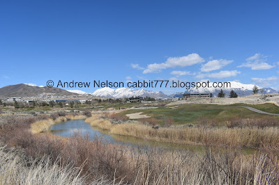
Eventually you will come to the golf course, and there is a sign warning you to lookout for golf carts. Which I can confirm, are present.
Mount Timpanogos again.
No trespassing onto the golf course. I mean, what exactly would I want to do on a golf course?
Mount Jordan peeking up behind.. is that the back side of Steep Mountain? I guess it is.
The river below Steep Mountain, Box Elder Peak, and Mount Timpanogos.
Mount Timpanogos again.
The river again.
River and mountains.
Well, I reached my 2.25 miles + .15 mile middle point, with a smidge extra, so it was time to turn around. I am kind of excited to see what the next segment has in store for me.
Another little bridge. But that is on the golf course, so you can’t use it.
The river again.
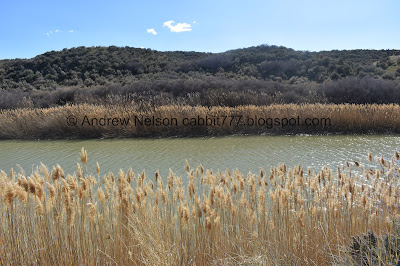
The phragmites that line the river usually obscure it from view. But not so much in this segment.
Back to the riverbend.
Back into the unincorporated land.
Riverbend.
The river with Mount Timpanogos again.
The next riverbend.
Another red-tailed hawk. Which again disappeared before I managed to get the telephoto lens on. Doh!
The river again.
With the wind mills.
Mount Timpanogos again.
The gap the trail goes through. That looks like it was excavated.
With the river.
Back to mile marker 8.
Ducks and coots.
The river.
The Geneva mining operation.
Back to the bridge across the river.
Looking north-ish.
South-ish
I believe that is Traverse Mountain.
The river below Mount Timpanogos.
Now comes the climb.
Back to the little information area.
This is for burrowing bees. Oddly enough, I learned that at Thanksgiving Point fairly recently
The informative signs are quite faded and damaged, but I could read enough to find this is a Pollinator Habitat Enhancement run by Camp Williams. Neat.
There are 2 bee houses, and 1 bat box. In addition to that they planted a bunch of Utah native plants that help our pollinators. That is a fun project! I am glad I stumbled upon it.
Deer trails.
The climb.
The river below.
Panoramic view.
The bridge below.
Back to the view point at the top.
Another panoramic.
Back to the narrows.
A raven. Note the wedge shaped tail.
Windmills.
Looking back at Mount Timpanogos.
The decommissioned windmill.
Re-entering Bluffdale and thus, Salt Lake County.
Back to Mile Marker 9.
I caught Frontrunner coming through the narrows.
The diversion dams.
Beef Hollow.
Looking back through the narrows.
The Utah Lake Distribution Canal again.
Turkey Vulture. Note, tiny head, and 2 toned wings from the underside.
Pair of them.
Back to the junction. Wew, almost done.
Back to the trailhead.
View of the Salt Lake Valley. I’ve mentioned it before, but horizons freak me out.
Panoramic view of the mountains.
I was hearing a hawk, but couldn’t find it, so I pulled out the telephoto lens. I caught what I believe to be Antelope Island along the horizon. Never did find the hawk.
I actually really enjoyed this segment of the trail, particularly the section that followed the river. Saw a few hawks, and vultures. Not a lot of people, and well, it was just fun and pretty. Going with 7 out of 10 squirrels today.
As for difficulty, it is paved, and fairly easy, but there is a good climb or 2 so I am going with a DR3.
Dogs are allowed, but must be leashed. Please clean up after your furry friends.
.jpg)


























No comments:
Post a Comment