.jpg)
Birkhill Park is a very small park in Murray. It features general park amenities, and Big Cottonwood Creek. However, it is next to an absolutely jam packed high density development, with absolutely no dedicated parking. You have to fight all of the residents who do not appear to have enough parking for themselves for street parking. If it weren’t for the small bit of access to the creek I probably would have given up and skipped it.
I am not sure how I found this, but now that I am reviewing the map, I am not sure if this is technically a public park, or if it is a park for the residents of the condos... but meh, there were no scary 'no trespassing' signs.

Quick Details:
Length: Eh, we did about .78 of a mile, but we explored some we should have skipped.
Trail Type: Out and back
Difficulty: It is paved and pretty flat, DR2.
Elevation Gain: NA
Restroom: No
Dogs? Yes, Leashed.
Other Info: Can be accessed via Trax, with a short walk. Take the Red Line or Blue Line to the Murray North Station.
To Get Here:
From i15 take 45th south east to Main Street, turn left. Turn left on Gilbride Ave, then immediately right on Birkhill BLVD. Try to find parking. Pay close attention to signage so you don't park somewhere you shouldn't.
Alternately you can park at the Murray North Trax Station and walk in, or use Trax.
The Trail:
After driving in circles for a little while, we eventually found a place along the street to park.

We started near the playground and picnic area.

The Artesian Springs Water Tower. We will come back to that.

Bridge over Big Cottonwood Creek.

Downstream.

Upstream. We didn't cross the bridge, I just wanted to see the creek.

We decided to follow the path upstream. This was an unexpected surprise. I was expecting a tiny park next to the creek, but hey, I'll take a walking path next to it!

The creek.

There is a crossing over Main Street. I am just going to say, go ahead and turn back here. There isn’t much to see on the other side. I however was hoping to get closer the the water tower, but this was not the best way to do that.
Also, here is to hoping that maybe they expand the trail along the creek a little further.
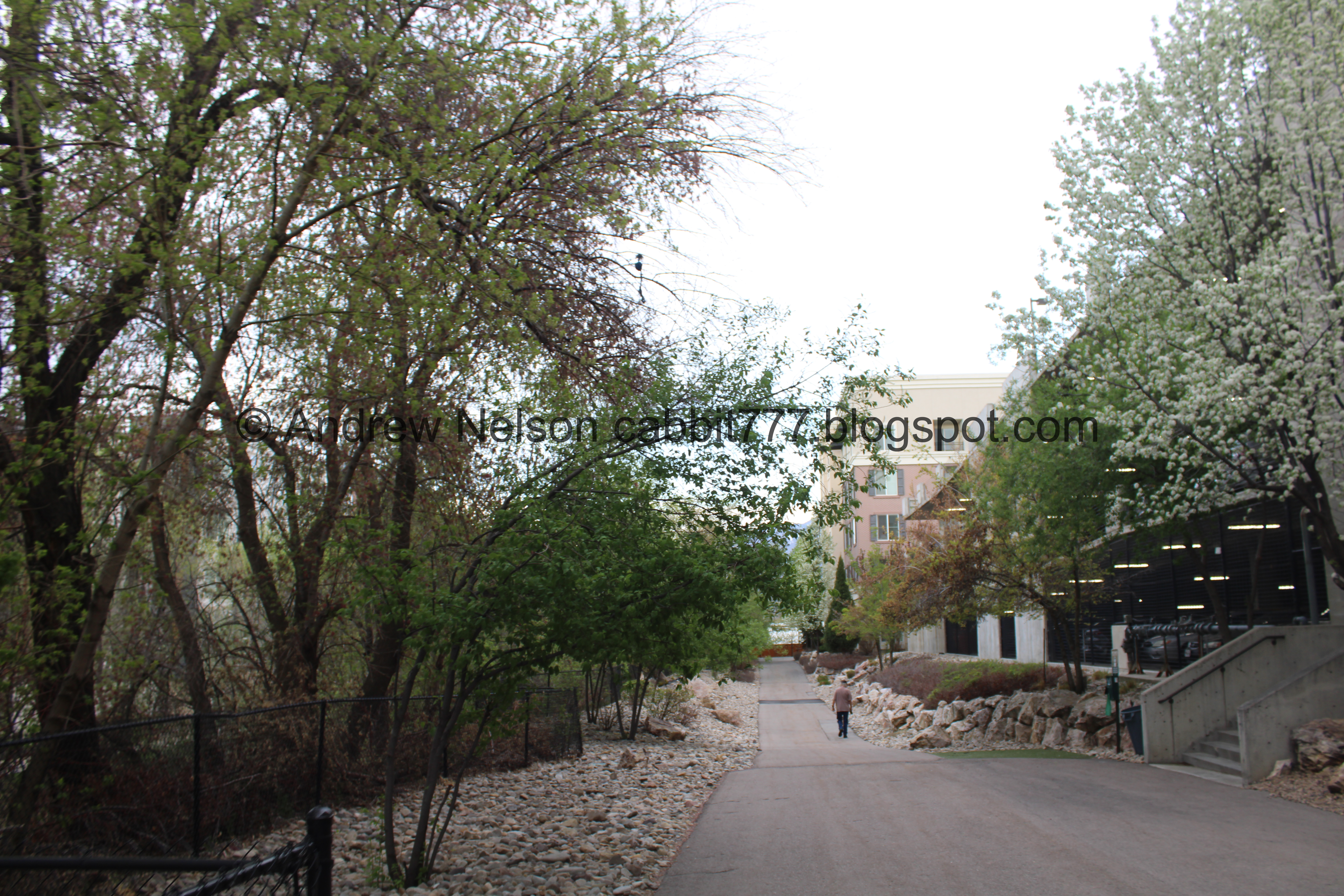
Anyway, the other side is a thin road turned pathway between 2 large apartment complexes. You can’t see much of the creek unfortunately.

Gorgeous flowering tree. Google lens is telling me Japanese crabapple.

We can see the top of the Artesian Springs Water Tower.

Again.
From here the trail veered to the right, behind the apartments and away from the creek, so we decided to head back the way we came.
Upstream the creek goes through a lot of private residential areas before being able to be accessed again in Big Cottonwood Regional Park - Creekside Park.

Heading back the way we came.

Back to Main Street and the bridge over the creek, looking upstream.

The crossing over Main Street.

Back to Birkhill Park.

The creek.

Again.

The little bridge again.

Little gazebo.

Inside, looking up.

The trail keeps following the creek west for a little bit, so we decided to check that out too.

The creek.

Continuing along.

Trax bridge.

With a weird tower of some sort. It looks like it is on the Morgro property, which is a chemical industry of some sort.

From here the trail swings to the south, heading towards the Murray North Trax Station, and apparently away from the creek. Although I does kind of follow it for just a smidge longer now that I am looking at the map, but I don’t think I missed much. Anyway, we decided to head back.
From here, Big Cottonwood Creek flows through a lot of industrial areas before entering the Jordan River at the Big Cottonwood Confluence. I tried to explore more of the confluence on this side of the Jordan River earlier, and found a bunch of No Trespassing signs. So, we were not able to explore it. However, it does appear to be a big empty field, so hopefully one day they will build it up and we will be able to enjoy it.

Here is a pretty good view of the top of the Artesian Springs Water Tower. Nice.
.jpg)
Panoramic view of the mountains.

The Artesian Springs tower and Mount Olympus.

Flowering tree. Looks like it might be a cherry tree. Mine is flowering right now as well, but not quite this much!
Well, that was alright, not at all my favorite trail or park. But I am hopeful that Murray is using this as a starting point and will eventually build a longer, better trail to enjoy the creek. A man can hope right? It wasn’t too busy, in the park, but the densely built community made traffic in this small little area a nightmare, and parking? forget about it. oi. I really enjoyed the creek, but otherwise I just kind of felt pretty lukewarm about it. 3 squirrels.
As for difficulty, it is completely paved, and fairly flat (we did veer across the grassy area, but that can be avoided) DR2.
Introducing my new difficulty icons. What do you think?

Dogs are allowed, leased. Please clean up after your furry friends.

No comments:
Post a Comment