.jpg)
The Bonneville Shoreline Trail (BST) is a long trail that will eventually go all the way from Santaquin, to the Idaho Border following the shoreline of the ancient Lake Bonneville. The Avenues Terraces section is located above The Avenues neighborhood in Downtown Salt Lake City. This section features lovely mountain and valley views, wildflowers, and patches of scrub oak.
We were just here last week, but we ended up doing the shorter Valleyview Trail, I wanted to come back and do the longer BST loop so.. we came back.

Quick Details:
Length: 2.25 Mile loop.
Trail Type: Loop, out and back option, loop de loop, figure 8 options.
Difficulty: This is quite the climb, with a few steeper spots. DR4.
Elevation Gain: About 550 feet.
Restroom: No. We found a porta potty at 11th Avenue Park, otherwise you might need to find a gas station.
Dogs? Yes, leashed.
Other Info: There is not a lot of shade on this trail. Not a good option for a hot summer day. Also, there is a huge web of trails, but the signage is pretty good. There is some construction happening up here right now as well, so watch for trail closures.
To Get Here:
Take South Temple east, after State St it will turn into 2nd Ave. Take 2nd Ave 9 blocks to I St and turn left. Take I St. 12 blocks to 13th Ave. and turn right. Immediately take the left fork to Northcrest Dr. after a half mile turn left on Terrace Hills Dr. Follow that for .4 miles to the Cul Du Sac located at 1036 Terrace Hills Dr. Find street parking.
If coming from the south, use i80 to 7th East to South Temple. Hint: from 7th East turn left from the middle lane, then turn immediately right onto I street (google maps thinks you just go straight there). Then follow the rest of the directions above.

The mountains (Passenger Seat Photography (PSP)). The snow line is slowly getting higher.

Neat old water tower (PSP). One of these days we’ll go check that out.

The Trolley Square tower (PSP).

Heading up I Street (PSP).
The Trail:

You can use either the East Terrace or the West Terrace Trail, it’s a loop. We went up the west trail last time, so I decided to go up the east today.

Trailhead sign, and a sign warning you about the fire mitigation project up here with is causing some trail closures. So pay attention to the signage.

Neat old trail marker.

The trail.

I love these little poems about cleaning up after your dogs. This one is a little more crass than the others, but still cute.

Ballhead waterleaf.

Heavy machinery they are using for the fire mitigation project.

I am a little sad to see some of the trees being damaged for it though.

Pretty green foothills.

Continuing the climb. As least for this lower section, this is the tougher climb. I am not sure about the upper section though since this is our first time doing this full loop.

I wonder what that smoke is? It did not appear to persist the entire way, so it should be okay now, but still.

More green foothills. The trail we will be coming down on the left.

The valley below.

The construction scar.

Where it connects to the the trail. I can’t say for sure, but I suspect the scar took out a patch of money plants that I particularly enjoyed. I planted one in my garden a year or 2 ago, and it is absolutely huge and happy now. But I still enjoy seeing them along the trails, and am sad to not see them here this year.

The scar again.

Back to the climb. Ho boy, yeah, the other side is much better.

Super steep.

Arrowleaf balsamroot.

Approaching what appears to be the top.

The first junction/4 way split. Right leads to a small sub peak, left is the BST Valleyview Trail that we did last week, forward will lead to the City Creek Saddle, AKA the BST to Bobsled Alternate junction, which is where we are heading.

The subpeak to the right.

The scar continuing to the south.

Downtown.
.jpg)
Panoramic.

The Avenues Twin Peaks. Also a fun, but tough hike.

Back to the climb.

Balsamroot and scrub oak.

Water tank.

Better view of Downtown.

The gulch below.

Continuing the climb.

More balsamroot.

The University of Utah complex and mountains.
.jpg)
Another panoramic.

Downtown again.

Again, with the State Capitol.

The Twin Peaks again.

More balsamroot.
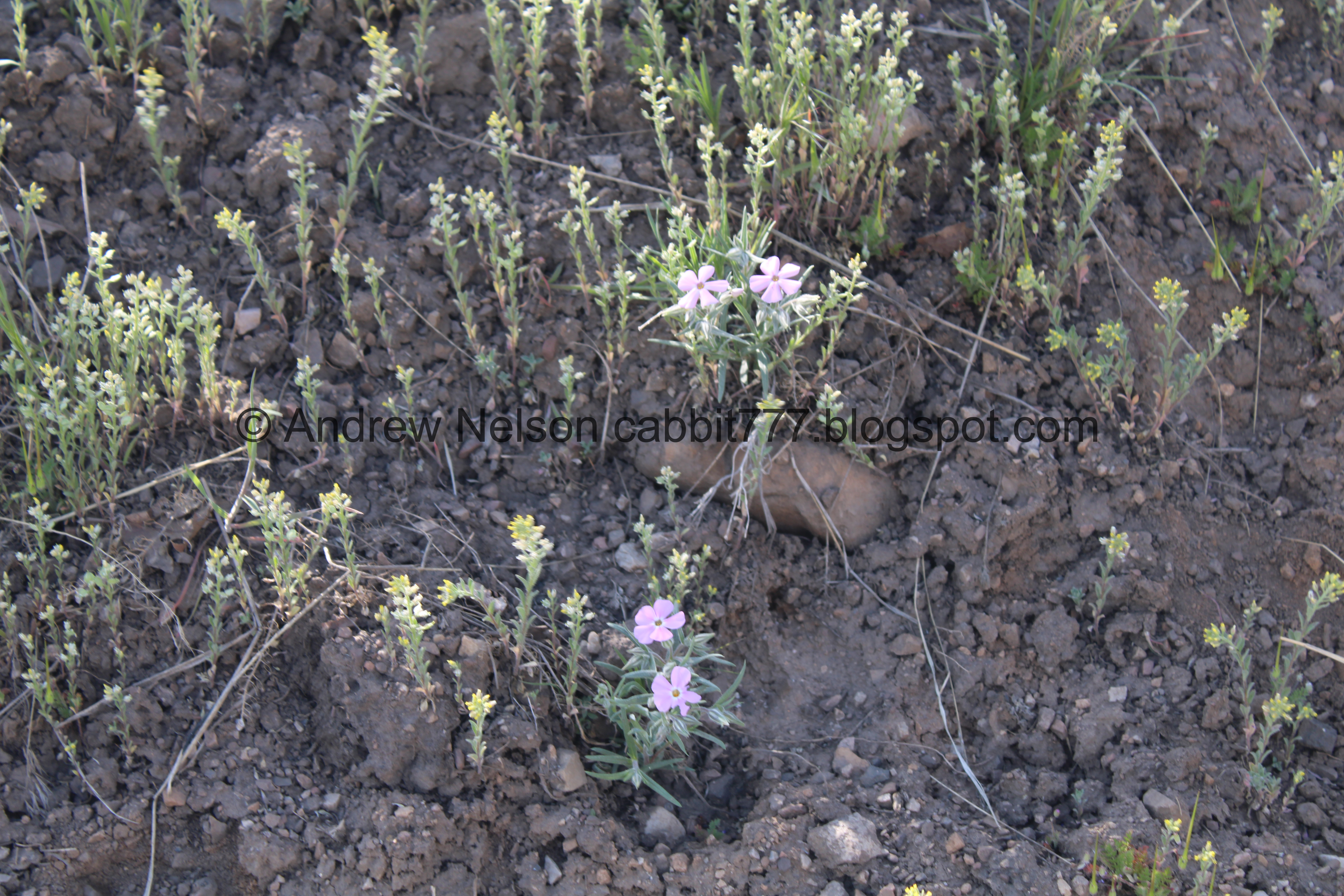
Some phlox coming in.

The water tank again.

The gulch again. I think it is actually Perrys Hollow.

Valley and mountains.

Milkvetch.

Twin peaks again.

Balsamroot.

Twin peaks again.

Little patch of scrub oak.

I just love the foothills this time of year.

Continuing the climb.

Hillside.

Turkey vulture. Not a super great shot.

The valley below.
.jpg)
Panoramic.

Phlox.

Balsamroot.

Milkvetch.

Pretty hillsides.

Hills and flowers.

Balsamroot.

Continuing up.

Balsamroot.

The trail up to the ridge. We will not be going that far today.

Twin Peaks again.

Person on the saddle above.

The twins.

Green foothills.

The valley below again.

Scrub oak.

The City Creek Saddle AKA The BST to Bobsled Alternate, which is a a 5 way junction. Top right leads to the ridge and the BST Avenues Twin Peaks. Right leads to the Bobsled Trail. Lower left is a downhill bike only trail called 19th Avenue Upper, and upper left is the Avenues Ridge Trail trail that we will be taking. Various sources make it a little confusing, but I think both left trails can be considered the BST Trail. One for bikers, one for hikers.

The Avenues Twin Peaks again.

Some of the wildflowers through this area.

Mountains across the way.

It would seem this is also called the Avenues Ridge Trail. However, what Google Maps has listed as the BST is a fast downhill bike only trail (the 19th Avenue Trail). I don't think it is accurate to label a limited use trail as the official BST Trail. So I think between the 2 of them (which are both limited use, one being bike only, one being hike only) can be officially the BST through here. Of course, I am just talking out of my ass here so... yeah. But I am going to go ahead and say we did the BST through this section. If anybody has better information to dispute this, I am totally open.
Anyway... this will be our first time though this section so it will all be completely new to me.

Holy glacier lilies, Batman!

View into City Creek Canyon.

More glacier lilies.

More.

I loves them.


This hillside is absolutely covered in them!


Scrub oak.


Continuing along.

City Creek Canyon again.

The trail was starting to make me a little nervous, but it was mostly fear of the unknown nervous.

It was really not that bad… yet.

Glacier lilies.

Okay, spoke too soon.

Trail split out to that little peak. We didn’t do that.

Short section my fear of heights really did not like. I managed to power through it, but it was hard. It doesn’t even look that bad from this picture, but there is no reasoning with the lizard brain once it kicks into gear.

Looking back on the part I didn’t like. After this part it is just fine. Of course, now the lizard brain had kicked on and I was nervous that there might be more parts like this. But, there aren’t.

City Creek Canyon again.

More scrub oak.

Butterfly. I have not been having the best luck capturing these on camera lately.

Looking back at a 4 way split we passed through, we just went forward. I am not sure what the cross trail is.

Continuing along.

Lots of balsamroot.

Closer.

Downtown, and look at that super fun wiggle path for the bikers!

The valley.
.jpg)
Panoramic.. eh not my favorite one of the day.

Continuing along.

Another peek into City Creek Canyon.

The valley again.

You can see all the way across the valley to the Jordan Narrows, or the toilet drain as Landis calls it.

Going around the ridge.

The valley.
Downtown.
.jpg)
Panoramic.

The hollow below, and the trail we came up.

Downtown again.

Roads heading south. I love the grid system.

Downtown again.

We can see the Great Salt Lake from here.
.jpg)
Another panoramic.

Another patch of scrub oak as we go into another hollow.

The trail on the other side. I am not 100 percent sure, but I think that might be the Avenues Ridge Peak.

Approaching another small saddle.

View down.


Heading around the next ridge.

Tree and flowers.

Lots of balsamroot, and the Great Salt Lake in the distance.

This is an interesting vantage of City Creek Canyon.

More balsamroot.

Closer.

View down the gulch again.

Downtown again.
.jpg)
Panoramic.

Continuing along.

Lots of balsamroot.

The next junction.

We went left, back down the ridge. Upper right appears to lead towards City Creek Canyon, and the lower right appears to leads back up along the ridge, and possibly to another peak.

Random pile of logs.

Heading down the ridge.

Downtown below the ridge.

The University of Utah complex.
.jpg)
Panoramic.

The ridge.

City Creek Canyon again.

Random scar that does not appear to be related to the power line project. Odd.

City Creek Canyon.

With the neat rock formations.

The ridge just seems to drop away here. Plus a nice view of the valley.

It doesn’t drop away, just a quick steep part.
.jpg)
Panoramic.

Its really not as steep as it seems, plus, I can see the powerline scar, so it looks like we are close to where we left of last week. Yay!

The powerline scar and the Valleyview Trail we took last week.

Balsamroot.

City Creek Canyon and the Meadow Trail below. We ended up doing that as an add on today.

Looking back up the ridge we came down.

Down to the 7 way split at a saddle. Last time we were here we took the top left fork towards the BST Valleyview Trail. Bottom left is the 19th Ave Trail, a downhill bike only trail. Bottom right leads back up, top right is the 19th Ave Trail that heads down to towards the Meadow Trail. Both forward options get us back to the trail head.
Did I mention it is a huge spiderweb of trails up here? But, it is mostly well signed, a few spots could use more signage though. This trail system is almost as good as Draper with the mix of walk only, bike only, and mixed use trails.

Looking back up the way we came. It seemed way more steep last week, but it really was not bad at all.

I feel a little bad. the trail restoration through here was not very clear, it just said stay on main trail. Well, I mean, that looks like a main trail, so we went up over this little peak here. Hind sight being 2020, I believe we should have used the bypass trail to the right. Oops. But, the signage kind of sucks. So, we did the best we could.

Downtown.
.jpg)
Panoramic.

The University of Utah complex again.

Looking back at the 7 way split.

Downtown again.

The valley.

Again.

Down to the logs that are trying, not very successfully I might add, to keep you on the desired path. I think they want you to be on the right of them here. They are trying to revegetate some of the trails.

City Creek Canyon and the Meadow Trail below.

It is a little more clear here to stay between the logs.

The logs direct you to this peak bypass.

Another small spot that made me a little nervous, but it’s short, and really not so bad.

I have no idea what exactly the magpies are doing, but they are just hopping around on the ground.

3 of them.

The pair again.

Continuing along.

Milkvetch.

Pretty green hills.

Another small peak bypass.

Down the ridge. Here it appears you should stay to the left of the logs.

Avenues Twin Peaks and the hollow, with the trail we came up.

Water tank.

The ridge.

The water tank again.

The next junction is called the Mid Mountain Saddle. It is a 5 way split. Lower left is the BST Valleyview Trail, upper left leads back to the Terrace Hills Trailhead, right appears to lead down to the Meadow Trail, which we decided to add on today. Forward continues along the ridge and appears to connect to Edgehill Road.

Just 2/10ths of a mile down the west Terrace Hills Trail down to the trailhead.

Heading down the last switchback.


Huh. Was this paved at one time?

Balsamroot.

I’m not sure what these are.

Down the the switchback.

It offers a pretty nice view
.jpg)
Panoramic.

Twin Peaks again.

Balsamroot.

Twin pipes. I suspect this was an old gate.

The University of Utah complex.

Looking back at the switchbacks we just came down.

Another fun poem to clean up after your dogs.

The last 150 feet or so is paved.

This squirrel sure had a lot to say!

Down to trailhead.

Pretty flowering tree.

Another fun sign asking to clean up after your dogs.
I am glad we came back and did the longer loop! It was really pretty and enjoyable, and not too busy. I did struggle through 1 section in particular, but I made it through and completed the full loop so, go me. This city did a good job providing hiking only, biking only and multi use trails, so that’s awesome, but it is a really confusing web of trails, so I will remove a squirrel for that. 9 out of 10 squirrels.
As for difficulty, oh boy, that is a lot of up! DR4.

Dogs are allowed, leashed. Please clean up after your furry friends.

No comments:
Post a Comment