.jpg)
The Meadow Trail AKA the Morris Meadow Trail is a nice trail in the Avenues neighborhood of Salt Lake City. It is a short trail along a flat area in the Avenues Foothills. It features nice mountain and valley views, and some wildflowers. It is also probably the most perfectly straight trail ever. Wow.
Somehow this amazing, flat meadow escaped development and is still open space.

Quick Details:
Length: It is almost a perfect mile and back to the City Creek Overlook. We did a 1.25 mile balloon.
Trail Type: Balloon, out and back options.
Difficulty: DR3. It’s pretty flat and easy going.
Elevation Gain: About 100 feet.
Restroom: No.
Dogs? Yes, leashed.
Other Info: Currently there is a fire mitigation project construction going on through here. So pay attention any trail closures.
To Get Here:
Take South Temple east, after State St it will turn into 2nd Ave. Take 2nd Ave 9 blocks to I St and turn left. Take I St all the way up, after switchbacking twice it will become 18th Avenue. Just past the LD$ Church on the left will be Hilltop Rd on the left. Head up there and park.
If the parking lot is full, there is a connection to the east on 18th Avenue, so you can find street parking there as well.
If coming from the south, use i80 to 7th East to South Temple. Hint: from 7th East turn left from the middle lane, then turn immediately right onto I street (google maps thinks you just go straight there). Then follow the rest of the directions above.
The Trail:

Apparently the Bonneville Shoreline Trail (BST) crosses through here as well.

Old sign that matches Ogden's trail signs.

The trailhead kiosk.

Closer. Look how freaking strait it is! The balloon is also an almost perfect flag shape.

The trail is nice and wide, and very busy! But, I guess that can't be a surprise. I have noticed that the general public seems to be willing to put in about a half mile or so, and after that trails thin out quite a bit.

Only half a mile to the City Creek Overlook.

Nice and wide, and fairly flat.

Thin trail leading up to that little peak.

City Creek Canyon.

Oh, and we can see Ensign Peak as well.

Continuing along.

View of the Great Salt Lake.

I’m a little surprised I got a shot of the trail without any people on it. It’s quite busy up here.

I think this area is part of the I Street Bike Park.

The powerline scar.

The little peak again.

Continuing along.
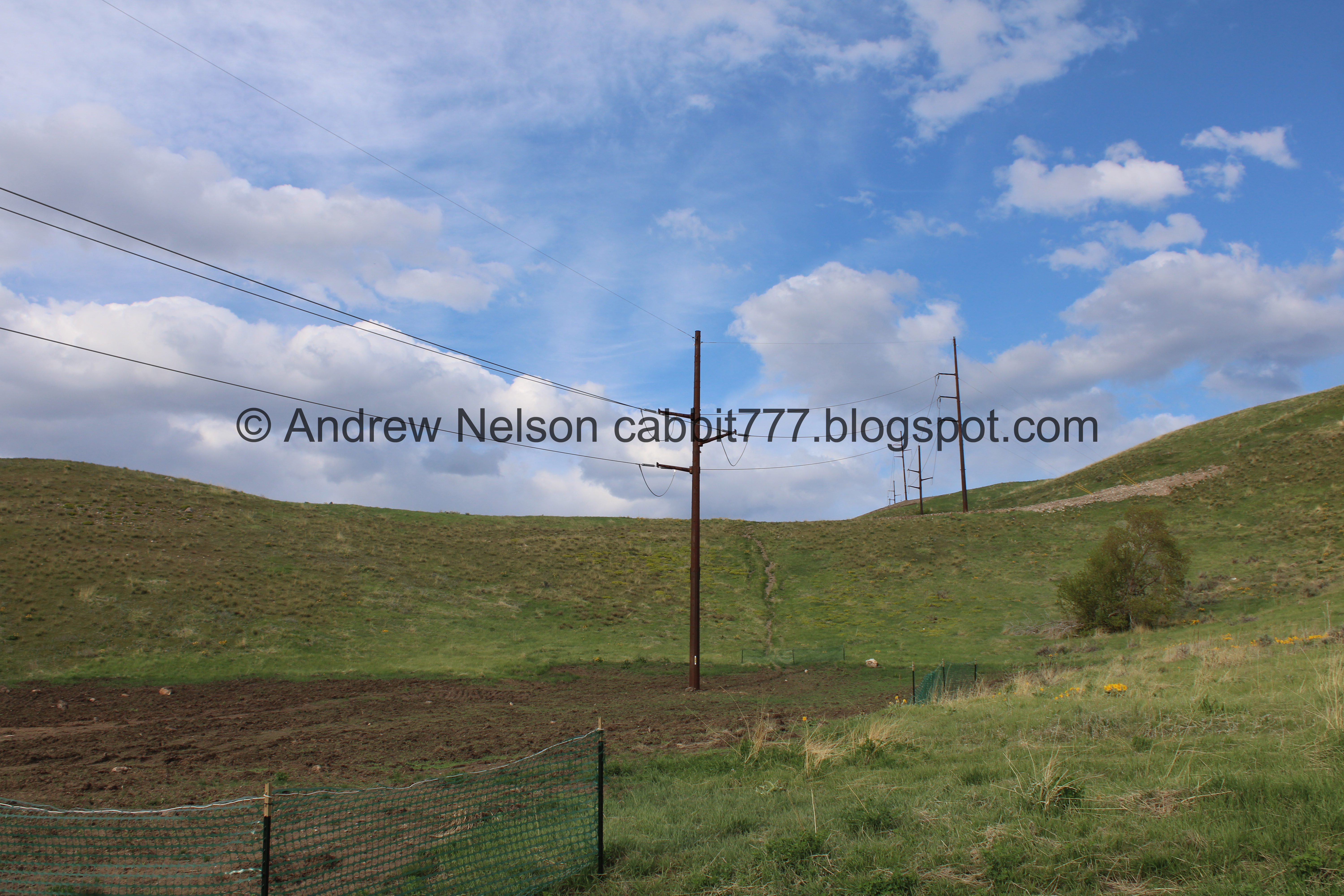

The powerline scar again.

I don’t understand why it is so big here. Maybe it was their staging area? Meh. As I understand it, they have reseeded it so hopefully by this time next year we won’t notice it.

The wide trail again.

City Creek Canyon.

Arrowleaf balsamroot.

3 way trail split. This is about 3/10ths of a mile in.

Right is more of the BST Valleyview Trail and leads to the saddle we were on earlier. We might need to check that out next time we are in the area. It is also an option to do the loop from that way.

Left is a thinner trail that is the BST towards City Creek.

And leftish forward will keep us on the Meadow Trail, so that is what we did.

The Capitol Hill neighborhood on the other side of City Creek.

Lovely meadow.

More meadow.

Rusted pipe of some sort.

Little patch of grape hyacinth.

More balsamroot.


The 19th Avenue Trail is a fast downhill bike only trail, it appears to go through the I Street Bike Park as well.

Continuing along.


Arrowleaf balsamroot.

The neat rock formations in City Creek Canyon.

More canyon.

Nearing the overlook.

The loop on the other side.

Hill above.
.jpg)
Panoramic.

The saddle we were on earlier.

The ridge.

Continuing along.

More balsamroot.

All along the hillside above.

At pretty much exactly a half mile we reached the City Creek Canyon Overlook. I guess there is a trail down, but it is currently closed.

The neat pockets and caves in City Creek Canyon.

The view. This was about as close to the edge as I was willing to get. It’s not a drop off, but it sure seems like one from here.

Landis took my camera and got a little closer. Not a drop off, but definitely steep.

The view again. I am trying to figure out where in the canyon this is above.
.jpg)
Panoramic.

Trail split. Right will go back the way we came, left will do the loop. We decided to go left.

Little patch of scrub oak.

Pretty foothills.

More balsamroot.


Into the meadow.

A mess of old jeep tracks.

Meadow.

Fun clouds.
.jpg)
Panoramic.

Continuing across the meadow.

Thin trail up to the little peak.

The meadow. It was about here that I noticed that wall. There is no way that can be natural. Then I recalled as I was looking into this trail, I saw something referencing a reservoir. Was this a reservoir at some point?
.jpg)
Panoramic, which further leads me to think that.
I did some digging, and I found a reference to a Morris Reservoir, however everything I am finding at the moment is saying that is the large water tank at the trailhead. But, really, look at this. It had to be a reservoir. Maybe there was another one with a different name? I feel like that might also explain how this area escaped being developed.

Foothills.

The saddle we were on earlier.

The old jeep trails have left 5 strong trails. I can see a 6th that appears to be growing back over.

The wall again.

Looking back towards City Creek Canyon.

Fun clouds.

The meadows.

The saddle above.

The next junction. Right will get us back to the trailhead.

The first left is the 19th Avenue Trail, which is a fast downhill bike only trail.

The 2nd Left is the BST Valleyview Trail. According to this, it is about 6/10ths of a mile to the Terrace Hills West Junction which is the saddle we were on earlier.

Heading back to the trailhead.

Looking back towards City Creek Canyon.
.jpg)
Panoramic.

Continuing along.
.jpg)
Another panoramic.

Up over the wall. I am still convinced this was a reservoir. I just wish I could find something to back that up.

Again.

Foothills.

The saddle.

Looking back at the meadow.
.jpg)
Panoramic.

A large patch of grape hyacinth.

The valley below.

Another restoration area.

Where the trail connects back to the Meadow Trail.

The valley again.
.jpg)
Panoramic.

Heading back down.

The valley below. You can see all the way out to the Kennecott Smelter Stack.

The power line scar.

The I Street Bike Park again.

The valley again.

Little peak.

The large water tank, which I guess is called the Morris Reservoir.

Closer.
.jpg)
Panoramic.

Back to the trailhead, and small parking lot.

Heading back down the hill (Passenger Seat Photography (PSP)).


Random roadside deer (PSP).

A quick stop at 11th Avenue Park to use the porta potty that is currently here.

A view across to the Greater Avenues Water Conservation Demonstration Gardens.

The valley, and of course the Salt Lake City Cemetery.
I love how much there is to see in the small Avenues Neighborhood. I still feel like there might be some neat stuff I haven't found yet.

Heading back down I Street (PSP). I was curious as to how much elevation you gain on this steep road so I decided to do some digging.
So, the bottom of I Street at South Temple is 4405 feet according to this topo map I like.
To 13th Avenue, the main split we use is 4889 feet. So, 484 feet of elevation gain here.
It starts to switchback and become North Hills Dr. at 4983 feet. An additional 94 feet.
It becomes 18th Avenue at 5111 feet. An additional 128 feet, for a total of 706 feet!
Sorry I get random thoughts and sometimes feel the need to find an answer haha. But it feels like it is more than that honestly.
Anyway, I am really surprised I have not explored this trail before. Even more surprised it’s only been on my radar for about a year or so. But, I am super glad that we decided to check it out today! Wow is that a cool trail. It’s a little busy, but I mean, any short trail this easy is going to be. I have generally found most people don’t really go more than a half mile from the trailhead. It is super pretty and green right now, the flowers and views were great. 9 out of 10 squirrels.
As for difficulty, wow, this is super flat, and almost like paved. DR3.

Dogs are allowed, but should remain leashed. Please clean up after furry friends.

No comments:
Post a Comment