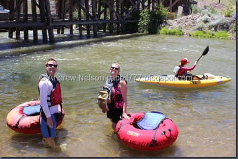
The Weber River above Morgan offers a really pretty river float with two class 2 rapids. I’m not really a fan of river rafting so that doesn’t mean a whole lot to me, but when we went this year they weren’t all that bad. This was a little bit outside my comfort zone, I am kind of afraid of water, but I did it, and I am glad I did it.
Nearing Devils Slide on the Weber River.
We used a business called Barefoot Tubing (external link). They provide a good sturdy tube, a life jacket and a shuttle service up to the top, and then back down. They also gave a basic overview of what to expect. I am very happy with the service they provided.
Lets see:
General fee for the 2 hour trip: $25.00
Waterproof camera: $15:00 (If you think about it before hand, there are cheaper options).
Water Bottle $1.00
Sunglasses lost to the river because I didn’t bring the chums I recently bought: $8.00
$49.00 for a good 2 hour adventure!
To get here: Head about 15 miles up Weber Canyon in Ogden to exit 103. This exit is weird, head across the road that looks like you are getting back on the freeway (it doesn’t) keep strait/leftish following to 1400 E Round Valley Way. You will see the parking lot and tubes on the right.
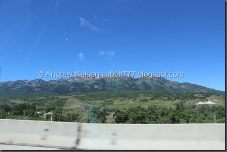
Heading up Weber Canyon (DBP).
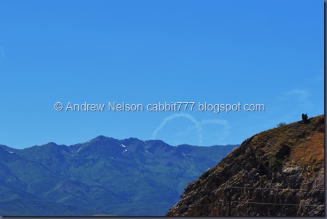
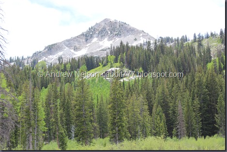
Some snow still hanging on to the pretty peaks (DBP).
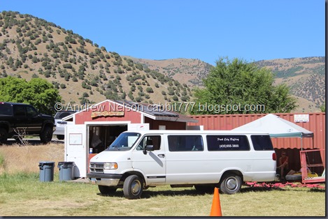
And Barefoot Tubing's building! On to the adventure!
I definitely was NOT going to bring my normal camera down the river on a tube with me. I had a cheap waterproof camera, but I was disappointed to learn it decided to crap out on me. So, I decided to spend the money on the the water poof disposable point and click (PAC) camera they had available. I don’t know if I will ever do this again, so it was worth the 15 bucks for the memories.
As they driver took us up he first pulled into the spot where we would depart the river and be picked up. He explained we will see a green double railroad bridge, and then a cliff wall. There is the 2nd set of Rapids named Taggart’s Rapids, he suggested keeping left and hugging the cliff wall.
A little further up he said something about going under the freeway pass that I missed. Basically, avoid the columns.
And then after arriving at the part where we were to get into the river he explained that about 10 minutes down we would hit the first rapids called Rock Alley, again hang to the left here. After the rapids there will be a low bridge with 3 openings, you definitely want the right opening. The left has a bunch of rebar, the middle has a low pipe, but the right is clear.
So, those are the instructions we got. So what I decided to repeat like a mantra to avoid hazards was Left, right, left, right (to depart). And try to avoid other random hazards. This worked pretty well for me, until near the end.
Onto the adventure! The next set of images are all from the disposable waterproof point and click (PAC) camera.
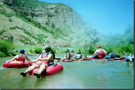
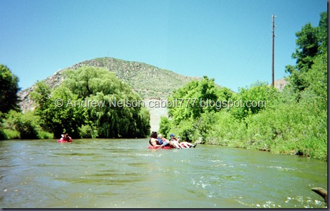
Just as we were getting in, another large group was coming down from a little further up. So we had a bunch of people to float with for a while (PAC).
Oh man, I forgot how terrible point and click cameras are. Oi. But, worth not destroying my good camera.
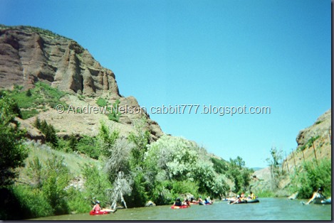
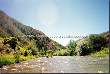
It sure is a pretty canyon to float down (PAC).
Not very far down I looked over and saw a snake next to another tuber, he noticed it about the same time I had, and abandoned tube so fast, practically running on top of the water trying to get away from it. The snake just calmly continued swimming across, while they guy basically ensured he was closer to it longer than he had to be. LOL. I shouldn’t laugh, I have my own phobias, but snakes aren’t one of them. (PAC).
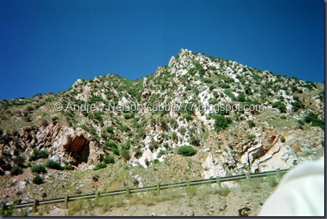
This part of the mountains has this weird, Wasatch Mountains meets Southern Utah feel. You can see some more of that in nearby Echo. (PAC).
I believe we are nearing Rock Alley in these shots. (Both PAC).
I think this is Weber Arch there in the top right (PAC). The website for Barefoot Tubing mentioned this, and Devils Slide as 2 interesting geological features. I was familiar with devils slide (coming) but not this. I asked the driver about it, but he didn’t know about it. I am happy I found it! Albeit a little further away than I would hope. So, now I have a general idea of where it is and might have to make it a point to come back and see it.
Some nice calmer waters (PAC). This really was a rather relaxing float for most of the trip. Unfortunately, part of the problem with point and shoot cameras is the viewfinder is not actually looking out of the lens.. so quite a few of my shots have some water spots kind of distorting them. My advise if you chose this route, wipe the lens before each shot.
Cool rock formations above (both PAC).
Starting to his more green mountains (PAC).
Landis did not want to tube, so we planned on having him follow us down the road with my camera to take pictures. Unfortunately, this river doesn’t stay near the road… and it’s a freeway. He did find one spot and caught us coming down.
Here I am in all my pasty white glory. In my defense, I am wearing a long sleeved white shirt. The site recommended long sleeves to avoid tube rash.
Here is the low bridge I mentioned earlier (behind the old wooden bridge) where you want to veer to the right (left from this angle). It’s a good thing you want to veer to the right, as right after it there is a nice little beach to hang out at on the right side. Landis met us up here and we got a few pictures.
Elise and I. I am having a great time so far!
As you can see, this is a crowded little beach!
Getting ready to head on down the river.
Back on the river (both PAC)!
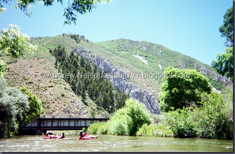
Nearing Devils Slide (PAC). I really forgot how terrible most point and shoot cameras are, these pictures are well, bad. But, this one actually came out nicely.
Under a bridge (PAC).
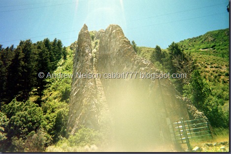
Devils Slide (both PAC).
Devils Slide is a cool geologic formation that displays a lot of what created our mountains pretty well. Basically 2 layers of hard limestone sandwiched a layer of softer stone, then was tilted up a long time ago, and the softer layer has since eroded away. From what I understand the fins are 20 feet high! It’s like a perfectly strait thin steep slot canyon.
You can view this from the freeway, there is a pull out on either side. Though, the view isn’t as good from down here in the river.
I think this is looking back towards it, but I am not sure (PAC).
Point and click selfie! I was hoping to get the river behind me, but meh. What are you going to do with 30+ year old technology?
More fun peaks above. (Both PAC).
Beautiful views along this calm section (PAC).
I think I accidentally took a shot while I was using the camera as a paddle (PAC). It had a pretty sturdy wrist strap, so it was in my hand… I guess I clicked a shot off.
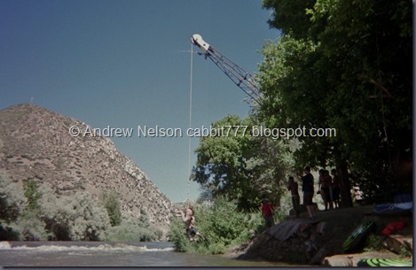
About, oh I donno, 2/3rds to 3/4’s of the way down there is another ‘beach area’ after a big rapid/small waterfall you have to pass over. It is the biggest waterfall, so after you plunge over it, veer left. It’s not so much of a beach as it is a nice place to stop and relax a minute. I thought the rope swing was a permanent fixture, but looking at this picture, it looks like someone brought in a crane to put it in. Looks kind of fun (PAC)!
Getting really pretty down here (PAC).
Another canyon bend (PAC).
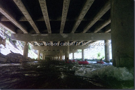
The freeway underpass (PAC). Right after taking this shot, I started floating towards that pillar to the right there. I figured I could push off with my feet, as I had successfully done with a some other random obstacles before. Well, I planted against the pillar, tried to push off, and ended up flipping over, backwards, ass up and into the drink. It happened so fast but I somehow managed to stay calm, hang onto my tube and jump back on a few feet down river. Lost my sunglasses to the river, unfortunately. Really wish I had thought to bring my chums (that little string that holds onto your glasses and goes around your neck).
Elise did the same thing. She says about the time she hit the the pillar, and then into the drink she remembered them saying to avoid the pillars. Whoops. I totally missed that part, and this was my reward. The river is a little swifter here, but at least it wasn’t a rocky rapid! Kumar, who got flipped on an earlier obstacle that I managed to kick off of, managed to kick off just fine here. Eh, you win some, you lose some.
I think there might be another beach to the right here as there were a lot of people hanging out, but we didn’t stop here.
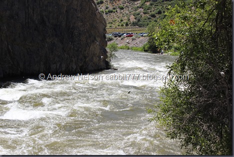
Well that was the last of my point and click photos. Luckily we are nearing the end at this point. After the underpass with all the pillars, you will float under a green double railroad bridge, go around the corner and hit Taggart’s Rapids.
The calm before the rapids.
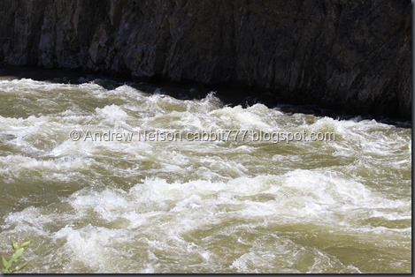
Taggart’s Rapids. They actually weren’t that bad. As I said before, stay to the left and hug the cliff.
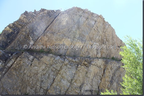
Better shot of the cliff wall.
Along the front.
And we made it, and were able to successfully depart the river without incident (well on person in the group got a small cut on her knee and needed a band-aid, but otherwise no issues). They picked us up and brought us back down to where we parked.
Where we saw some weird smoke?
Oh, that’s right. There is an Air Show and Hill Air Force Base is on the other side of that mountain.
Elise has a ‘give a shoe, take a shoe’ policy. She lost one to the river but we found a flip flop on the side of the road. I was a little icked at first but when I thought about it. Yea, I’ll take a random sketchy flip flop over a bare foot on hot, rocky asphalt any day.
Mountains on the way back down the canyon (DBP). I had plans of doing more exploring up here, but we were both a little worn out. So we decided to go have dinner instead.
Weber Canyon is pretty this time of year (DBP).
I am super glad I did this. A lot of what I was afraid of I realized were things that I didn’t need to be afraid of. Of course, accidents do happen, which is why they ask you to sign a waiver. But accidents can happen with anything. I still wish I had started on the Provo River as my friends say that one is a lot calmer. They did say it is a lot more, work as there are a lot of bushes on either side and you have to keep paddling to center yourself to avoid getting scratched up. This one had some of that too, but really not that much.
It was a great float down a beautiful canyon. With some awesome geologic features to check out. There are at least 2 beaches to get out of the river and dry off, or just rest for a while. And 2 rapids that are kind of fun and just exciting enough without scaring the crap out of me (for the most part). So, this scaredy cat definitely recommends it!
Going with 9 out of 10 squirrels! Even getting flipped over into the river I had a great time!
I can’t think of how to compare difficulty, so no rating on this one. Instead of your legs getting a workout on a hike, your arms will definitely get a workout paddling.
.jpg)


