.jpg)

Lake Mary

Lake Martha

Dog Lake
Quick Details:
Length: The kiosk says Lake Mary is only a mile. My pedometer app put it at about 1.3 miles. With an additional half mile to Lake Martha and an extra .1 miles out to Dog Lake for a total of about 4 miles round trip (depending on how much you explore). Going up to Lake Catherine doesn’t add too much though.
Trail Type: Out and back with a spur. Loop options and point to point options with a shuttle.
Difficulty: DR4. This was a bit more of a climb than I remember it being. But the trail is wide and mostly not bad, with some rocky parts.
Elevation Gain: We did about 1066 feet.
Restroom: If the Brighton resort is open I am sure there are restrooms in it. Short of that I know the Nordic Center at nearby Silver Lake has some.
Dogs? No. Big Cottonwood Canyon is watershed.
To Get Here:
Head to the top of Big Cottonwood Canyon. Take the one way loop past the Solitude Nordic Center to the big parking lot for Brighton. Look for the kiosk next to the Brighton ticket booth.

Mount Millicent from the Brighton parking lot.

The trail kiosk next to the Brighton ticket booth.
The Trail:

The pot gut squirrels are quite active here at the trailhead.

Trailhead sign. There were a couple bear encounters here a few weeks ago. I really think the additional signage is excessive. I understand if I go into the woods I might see wildlife. If you don’t, maybe stay in the city.

Closer details.

Well this is new. They have added loose stone to the lower trail here.

However, it didn’t last long, eventually you are on regular dirt path again.

Old trail sign. I kind of wondered if the trail mileage actually started here, but I am pretty sure the segment below is less than .3 miles.

A pretty columbine.

Geranium.

A field full of lupines and Indian paintbrush.

Monks hood.

Lupine and a columbine.

A ton of spearmint and some yellow flowers.

Mount Millicent.

View across the way towards Scotts Hill.

The trail is completely surrounded by flowers.


I believe these are spearleaf arnica, or at least something arnica.

With the view.

Fireweed. These guys are rather showy.

Heading up the hill.

Looking across the valley again.

Looking up the hill we are climbing.

Some elephant heads.

Some strikingly red paintbrush.

Western cone flowers.

Mount Millicent and Mount Tuscarora to the left.

Bluebells.

Different paintbrushes.

Big boulder. I think this is approximately halfway.

After the boulder you get to enjoy a nice short flat segment before heading into the forest.

The forest.

Little spring going across the trail.

Little river of bluebells below the forest.

Rocky part.

View down again.

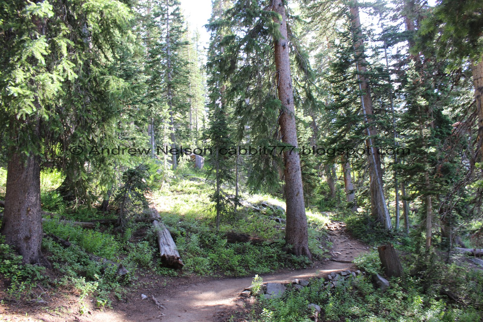
Pretty forest.

You can see Brighton down below and the road towards Guardsman Pass.

The Dog Lake/Clayton Peak fork. We hit that on the way down.

Bridge over the creek coming from Dog Lake and Lake Mary.

The creek.
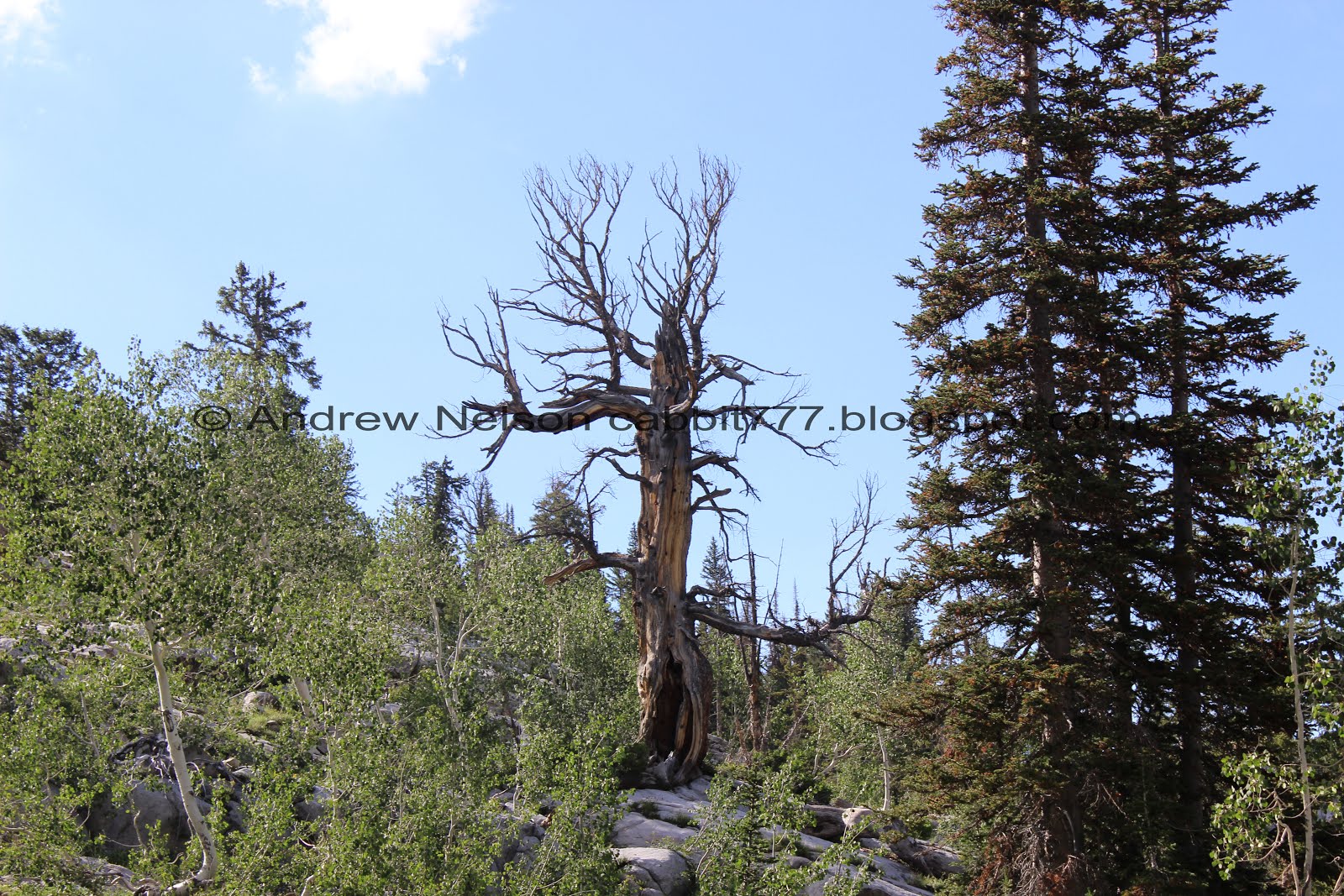
Neat old dead tree.

You can connect to Twin lakes and even to Lake Solitude and down to Silver Lake to hit 7 lakes on one long 10 mile loop. I’ve never done that, but it sounds neat.

So pretty up here.

Some primrose.

Short steep and rocky section.

Next to this little waterfall.

Old spillway.

Pretty purple daisies.

Before long you will spot the dam signaling you are almost there.
I saw my very first weasel here too, but wasn’t quick enough with the camera. I might have spouted "Wait, what the hell is that?" because well, I have never seen one before.

Pretty flowers.

The dam again.

Spillway. I want to say this is new because I don’t remember it from the last time we were up here.

Where it flows across the trail.

The view across the canyon.

Water coming down the trail.

It’s just coming up out of the ground in a few spots. Little unnerving, but I am sure they are monitoring it.

The final push.

We made it!

Quick panoramic.

Chipmunk.

The lake with some flowers.

It’s so weird to think that we have walked around that boulder out there that you can barely see the top of. They drained the reservoir a few years ago and well, we explored it. Of course while still respecting watershed rules.

Nearing the back end with Mt Tuscarora and Mt Millicent.

The far end again.
We decided to push on to Lake Martha.

Penstemon.

Through the trees.

There is one spot that is a little tricky to cross, but it’s not too bad.

Some dead trees on the top of the hill.

Some pretty light purple penstemon.

Back into the forest.

There are some tall trees up here.

At the far far end of Lake Mary.

Rocky hill.

Another panoramic.

Another opening offers a nice view of the little islands on the far end.

Also a view of Scott Hill in the background. Can’t see the dam though.

First glimpse of Lake Martha.

Lake Martha proper.

I love the little wooded island.
Lake Catherine is not much further, but we have done it a few times now and decided against continuing up to it today. So instead we went down to Lake Martha.

We took the trail down to get a little closer.
Panoramic.

The little island.

With Mount Tuscarora.

That looks like an old mine tailing pile.

An elkweed and the lake.
Well, the bugs were pretty bad so we decided to head on back.

Different shades of paintbrush.

I learned on the internet that some bees like to take naps in flowers. I never thought I would actually see if for myself, but had the fortunate experience of seeing it on the Willow Heights Trail a few weeks ago. I have been checking these flowers since and started to wonder if I would ever see it again and well, here is a pair of them. This is so cool to see again.

Last parting view of Lake Martha.

Mount Millicent.

Looking the other direction. The peak on the left is Pioneer Peak and that is Sunset Peak on the right. Sunset is actually taller, but Pioneer is closer from here.

Another paintbrush.


Back down to Lake Mary. I think next time we come up here I might try to walk around it. I know you can’t cross the dam, but I think you can still go around.

Another panoramic.


More pretty forest.

The lake and Mount Millicent.

The lake again. I was marveling earlier that there weren’t any jerks swimming today (this is watershed, our drinking water) but then we heard a splash. Damn it.

Mount Tuscarora and Mount Millicent.

Panoramic of the back end of Lake Mary. Before the dam was built there was a smaller lake located here called Lake Phoebe. I had found an archived version of it at one point but it seems to have been taken down.

Cliff diving assholes who think the rules don’t apply to them. Not only is it bad enough to have humans in the water we drink, but a few years back someone died doing this here. So we had a dead body in our drinking water. Yum!

Nearing the front of the lake.

Strange looking rock.

The no swimming sign is very hard to miss.

One last parting shot before we head back down.

Some geraniums.

Down the waterlogged trail.

Some pretty orange paintbrush.

The dam again.

A tight corridor through the foliage.

I haven’t been able to identify these guys yet.

Chipmunk.

Big patch of flowers.

Lupine.

Back to the spillway.

With the creek.

Pretty mountains.

Primrose.

Down to the junction. We decided to go the short way out to Dog Lake.

It’s fairly flat the whole way.

At the first split you want to go right. Left heads towards Clayton Peak.

Some really striking scarlet paintbrush.

The next split you can take either one. If you just want to get close to the lake I recommend right.

Weird looking beetle on a geranium.

The creek leaving Dog Lake. It’s fairly easy to cross without getting wet. Just one quick step on that log.

Lots of paintbrush.


Whoa, this one is huge!

Pioneer Peak.

First glimpse of Dog Lake.

Some elkweeds.


Elephant heads.

Lupines and Pioneer Peak.

I’m not sure what these are but think they might be in the buttercup family.

Dog Lake. It is pretty marshy all around it so this is about as close to is as you can get.
Quick panoramic.
We didn’t stay very long because the mosquitoes were thick!

Hill above.

Dog Lake and Pioneer Peak.

Another pretty paintbrush.

A couple recent fallen trees and a not so recent one.
Now that we were a little further from the lake we decided we could stop long enough to put on a new layer of deet and it worked immediately. I considered going back but meh. At least we won’t get any more bites.

Back on the main trail immediately across from the side trail is this nice view.

I know there is a waterfall over there I just didn’t want to get too close to see it. It’s a pretty good drop here.

Some buttercups.

Another columbine. The back petals have just the faintest hint of blue.

Chickweed.

Back down to the flatter section before the big hills.
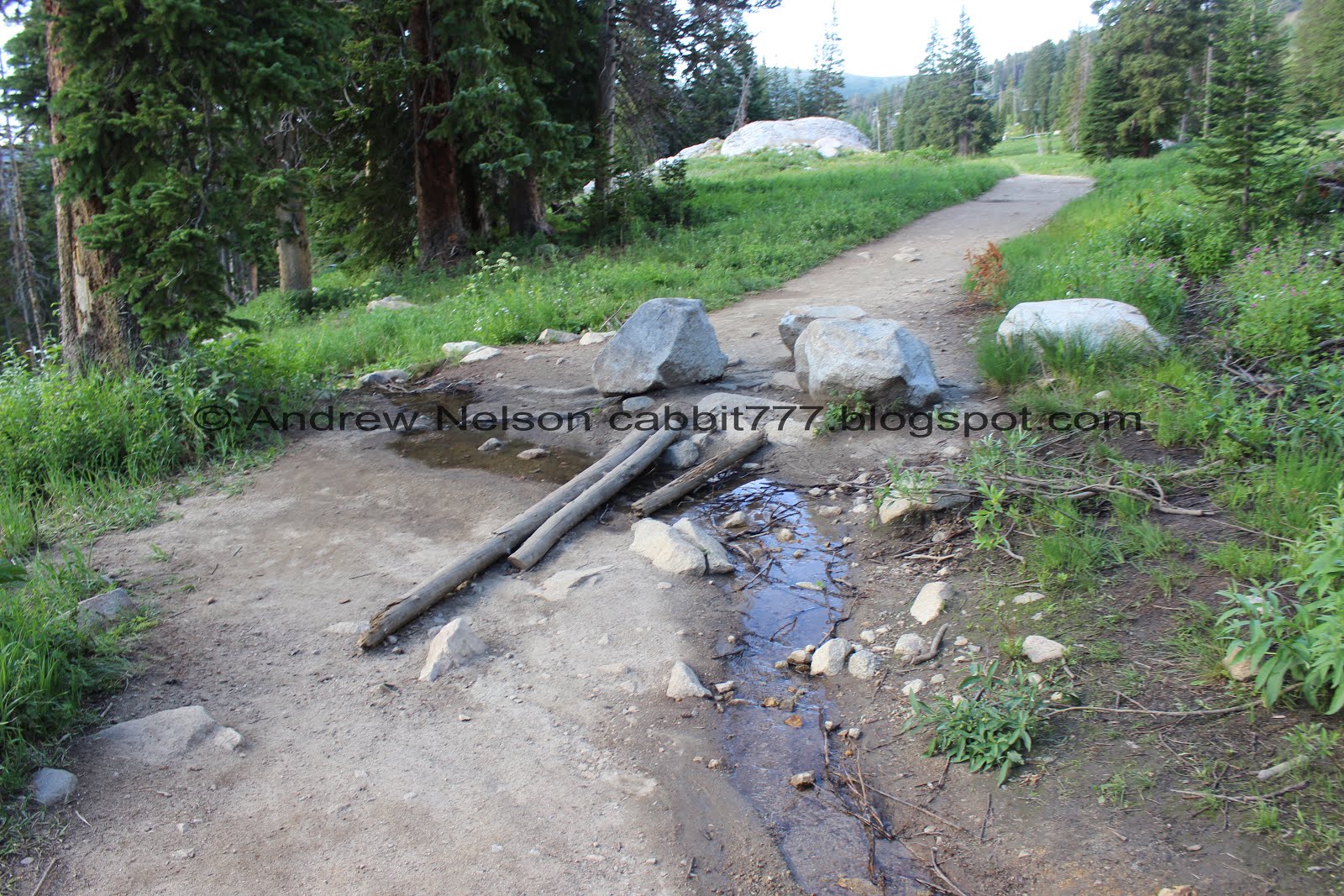
Little stream crossing.


Purple monkey flowers.

When I first saw these flowers I thought they were just white elephant heads, but I think they are really white bog orchids.

Back down to the big boulder.

View from the boulder.


Some fireweeds.

More elephant heads.

More white bog orchids.

I think this is the first time I have seen one of these in bloom. Not sure what they are.

Pretty forest.

Siamese twin western cone flower.

Normal cone flowers.

More pretty forest.

Heading down the ski runs.


Lupine.

Some more columbines. One with a hint of purple.

Mount Millicent and other peaks.

Chipmunk.

Scott Hill across the way.

Peppermint.

Loads of flowers.

Potgut squirrel. There are a bunch of these guys running around up here.

Loads of wildflowers.

With Mount Millicent.

More flowers. It’s not as spectacular as the Albion Meadows but it is still pretty good.

Elkweed.

Wild snapdragon.


Columbines with some faint blue.

Columbines and lupine.

Another good patch of wildflowers.

Another potgut squirrel.

Back down to the parking lot. I just realized the back side of this sign changed at some point. It used to be someone riding a horse. You can see the old one on my 2015 trip here.

Mount Millicent from the parking lot.


Heading down Big Cottonwood Canyon (PSP).

Storm Mountain (PSP).
This is a great hike, and adding Lake Catherine is definitely worth adding to it as well. The trail is a little bit UP but it is very pretty, particularly during wildflower season! It wasn’t super crowded today and we even got to see some neat wildlife. 10 squirrels out of 10 today.
As for difficulty, Like I said it is a climb, but not too bad. Going with a DR3.
Dogs are not allowed as Big Cottonwood Canyon is watershed. Be sure to leave Fido at home.

No comments:
Post a Comment