.jpg)

Quick Details:
Length: 7/10ths of a mile, plus 7/10ths of a mile on the road. 1.4 total or 2.8 round trip. We did a random 2.5 mile balloon.
Trail Type: Out and back, or point to point.
Difficulty: DR4. This is seriously UPhill.
Elevation Gain: Well… considering we didn’t complete it, I cant say.
Restroom: Yes, there is a pit toilette at the trailhead.
Dogs? No. Big Cottonwood Canyon is watershed.
Other Info: This is probably best done while Guardsman Pass is still closed. Also,we noticed the ‘parking lot’ had no parking signs. Odd that the gate for Guardsman Pass has a parking lot, trailhead signs, and restrooms, but you can’t park there? I didn’t notice the sign until we returned, and we didn’t have a ticket or anything so maybe I mis-interpreted it? I donno. Just thought I’d mention it.
To Get Here:
Head to the top of Big Cottonwood Canyon. Just before Brighton, take the left turn onto Guardsman Pass Rd. (if you miss the turn, no big deal, just loop around Brighton and turn on the way down). Park at the winter gate. Even if the road is open, you are not allowed to park higher up.
You will walk around the gate, and walk up the road for another 3/4 of a mile to the trail.

I love these new moose signs (Passenger Seat Photography (PSP)). I only started seeing them last year, so I am curious if there was a particular incident that caused them to come up.

Beaver Lodge (PSP).

I swear the parking lots get more and more overflowed every year (PSP). Don’t mind the filthy windshield. We learned a lesson about parking under a cherry tree this time of year.
The Trail:

Now the walk up Guardsman Pass Rd. I’ve only ever driven up it, so this will be new.

Scott Hill. I love the Mickey Mouse shaped tailings on it.

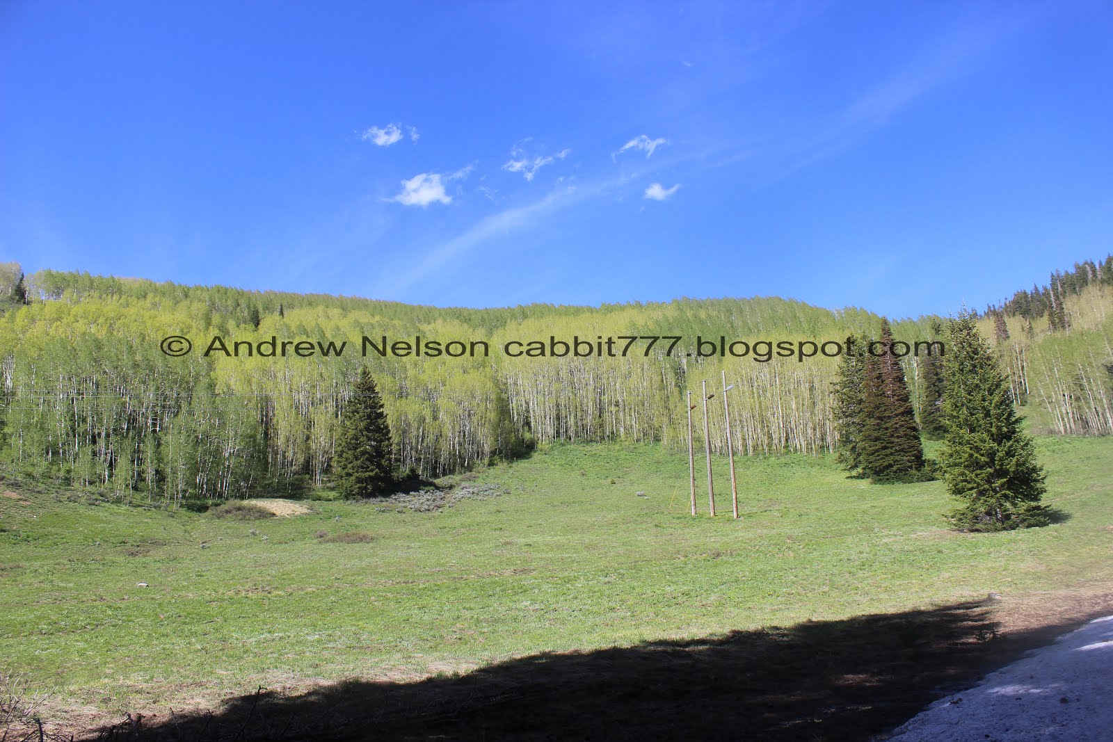
Peak 10420. You can see the other side of it from Bloods Lake.

You know, I definitely prefer to be on a trail, but walking up this beautiful forested road is fairly lovely.

Starting to see large patches of snow.


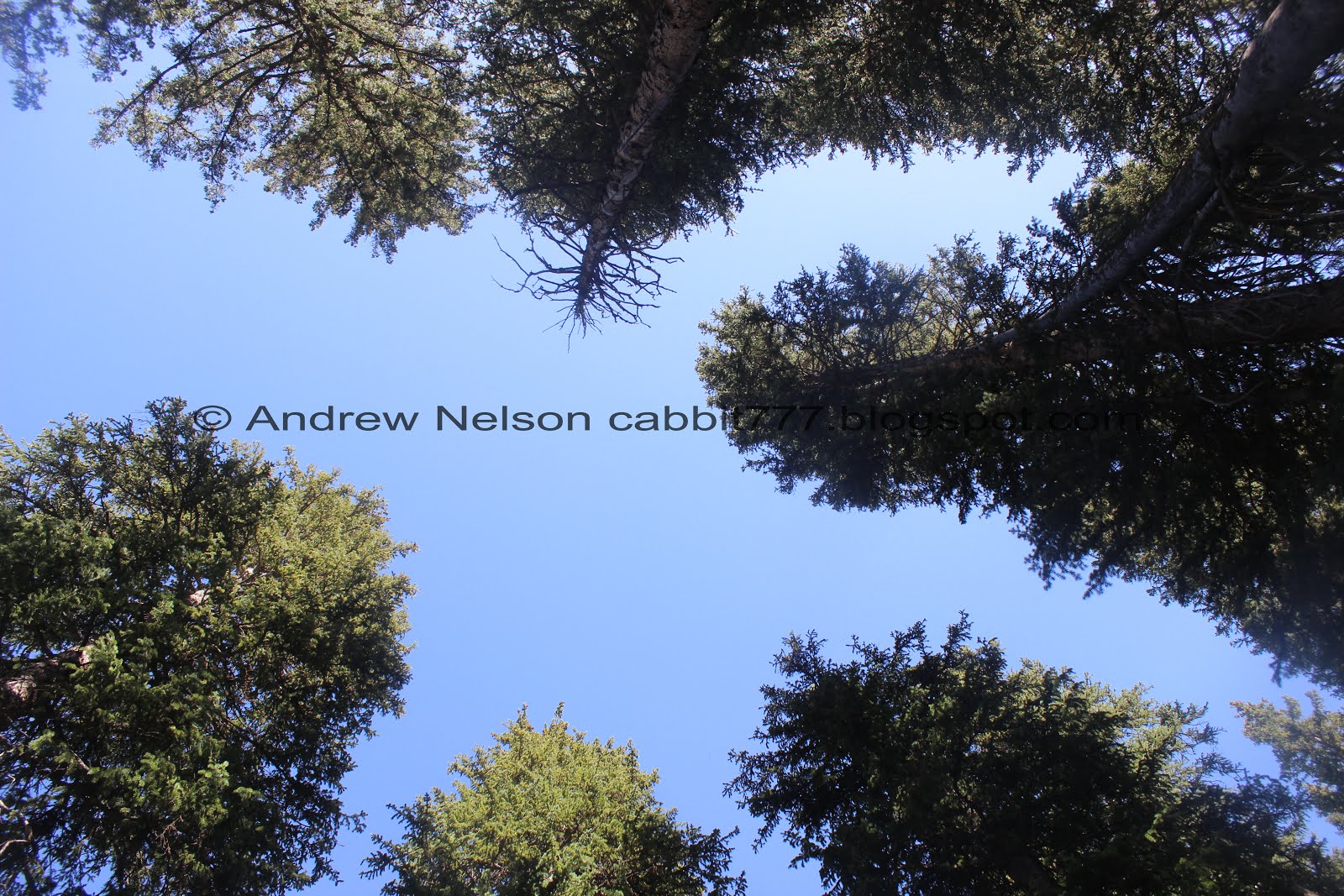
Really enjoying the thick forest.

Peak 10420 again.

Looking back down the road.

Love the thick forest.

Another patch of snow.

I was fairly certain the trail should be after that next turn.

We passed a creek that I was pretty sure was Mill F, so I thought the trail must be close.

Well, there’s a trail, but it seems awful thin.

We pushed on to the next curve just to double check.

We found a trail, but then noticed the group behind us took the lower trail. So we got a little confused.
The actual trail was about 15 feet further up. Right at the end of the curve before the road switch-backed again to the west.

So, instead of using my GPS like a smart person, we just followed this trail down towards the lower trail.

Itty bitty bridge over an itty bitty stream.

View below.

Into the woods!

This is what I had hoped the trail would be. A nice stroll through a thick pine forest. The actual Mill F trail is not, so I don’t regret the mishap today.

So beautiful.

At some point we completely lost the trail and were generally climbing up this shallow gully.

It was getting pretty steep, and I remembered seeing a trail split at little ways down so we wandered over towards that.
Now, normally I wouldn’t recommend just aimlessly wandering through a thick forest like that. It’s a good way to get your self lost. However, we both had strong bearings of where were were, and our sense of direction. I knew down would get us back to the road.

Found the other trail split, okay that is a little stronger.


Aimless wandering or not, I am enjoying the thick forest.


Lots of downed trees here.

Looking up.

More snow.

More trees.

We had lost the trail again and after following another shallow gully for a while I decided maybe I should actually pull out my GPS. It indicated the trail was to the north of us so we started working our way that way.


More pretty forest.

Lots more snow.


The slope.

Some thicker trees through here.


More pretty forest.


Hitting a lot more snow.
Looking up again.

I figured the actual trail might be towards the bottom of this next gully.
It wasn’t but, I can clearly see it in the middle of that clearing.

Looking down canyon.

Now that we found the actual trail, we debated about following it up the rest of the way, but figured we got our adventure in, so we’ll call it a loop and head on back down. Looking back I kind of wish we had. It looks like we were about midway along the actual trail, and at only 3/4 of a mile it only would have added about that up and back down. Meh. Maybe we’ll come back.

Looking down canyon again.

Conifers to the left…

Aspens to the right.

Some kind of critters den.

Entering the woods again.
This part of the trail is quite lovely.


Lovely mixed forest.

Itty bitty baby trees.


More aspens.

Mill F East Fork. With some neat plants.

Looking back up trail.

Pretty butterfly. I think (think being the operative word here) this is a Satyr Comma.

Back to the road.

As I mentioned, the trail we should have taken was maybe 15 feet above the trail we did take. Oi. But, it was still a fun adventure!

More pretty pines.

The lower creek. I am going to guess this is either Mill F West Fork, or maybe even just Mill F. It doesn’t appear on the map.

Pretty forested peak. I think this is 10420.

Enjoying the walk down the road.

More forest.

Such a lovely forested road. Kind of reminds me of driving around Yellowstone.

Thick stand.

Scott Hill again.

The upper Guardsman Pass road.

More forest.

Near the gate you get a nice view of the mountains above Brighton.
Well, we totally made a wrong turn and wandered around the woods aimlessly for a bit (again, not recommended) but we really enjoyed todays adventure. Half the adventure is on a closed road, so plenty of space to social distance. And the main trail didn’t appear that would be much of an issue. I will take a couple squirrels for it not being particularly clear where it was, and for the confusing signage at the parking lot. 7 out of 10 squirrels.
As for difficulty, the trail seemed to go up. It looked a little more steep towards the pass, but meh, going with a DR4. Just to cover that possibility. What we did I would put at a DR3.
Dogs are not allowed in Big Cottonwood Canyon due to watershed restrictions. Leave Fido at home.

No comments:
Post a Comment