.jpg)
Willow Heights is a fantastic trail located in Big Cottonwood Canyon. It features a small lake, a stream, beautiful aspen forests, wildflowers, and a good chance of wildlife. We were just here last month, but I was drawing a complete blank on what to do today, and well, since we enjoy this trail it is where we ended up. Bonus, it gave us the chance to go up the new east trail reroute. Since we went down it last time. Because we enjoy this trail so much, we got the interesting experience of watching the reroutes gradually come to fruition.

Quick Details:
Length: The east trail to the junction is about a mile. The west trail is about 9/10ths of a mile, and the loop around the lake is 3/4 of a mile so the full loop is about 2.65 miles.
Trail Type: Out and back, Loop, Figure 8, or balloon.
Difficulty: DR3. There is a bit of a climb, but its not so bad.
Elevation Gain: About 600 ft.
Restroom: No. Closest that I am aware of are at the Solitude Nordic Center at the top of the canyon.
Dogs? No. Big Cottonwood Canyon is watershed.
Other Info:
To Get Here:
Head up Big Cottonwood Canyon. Past the Silver Fork Lodge. About halfway between mile marker 13 and 14 there will be a boulder on the left (north) side of the road. If you reach Solitude you went too far, but don’t worry. the canyon ends at a loop that will easily turn you around.

Fun clouds. We are getting a break from the nasty smoke. It’s nice to have some blue clouds.
The Trail:

Trailhead stone.


I was a little surprised to see quite a bit of yellow.

The old east trail. They really don’t want people using it! I am guessing there might have been an erosion problem that they wanted to get under control. The old route was super rocky and steep though.

Big aspens.

The new trail split. Last time we went left, towards the west trail, and came down the east trail. So today I thought we would go up the east trail, so right we went.

Lovely forest.

Crossing over the old east trail.

More pretty forest.

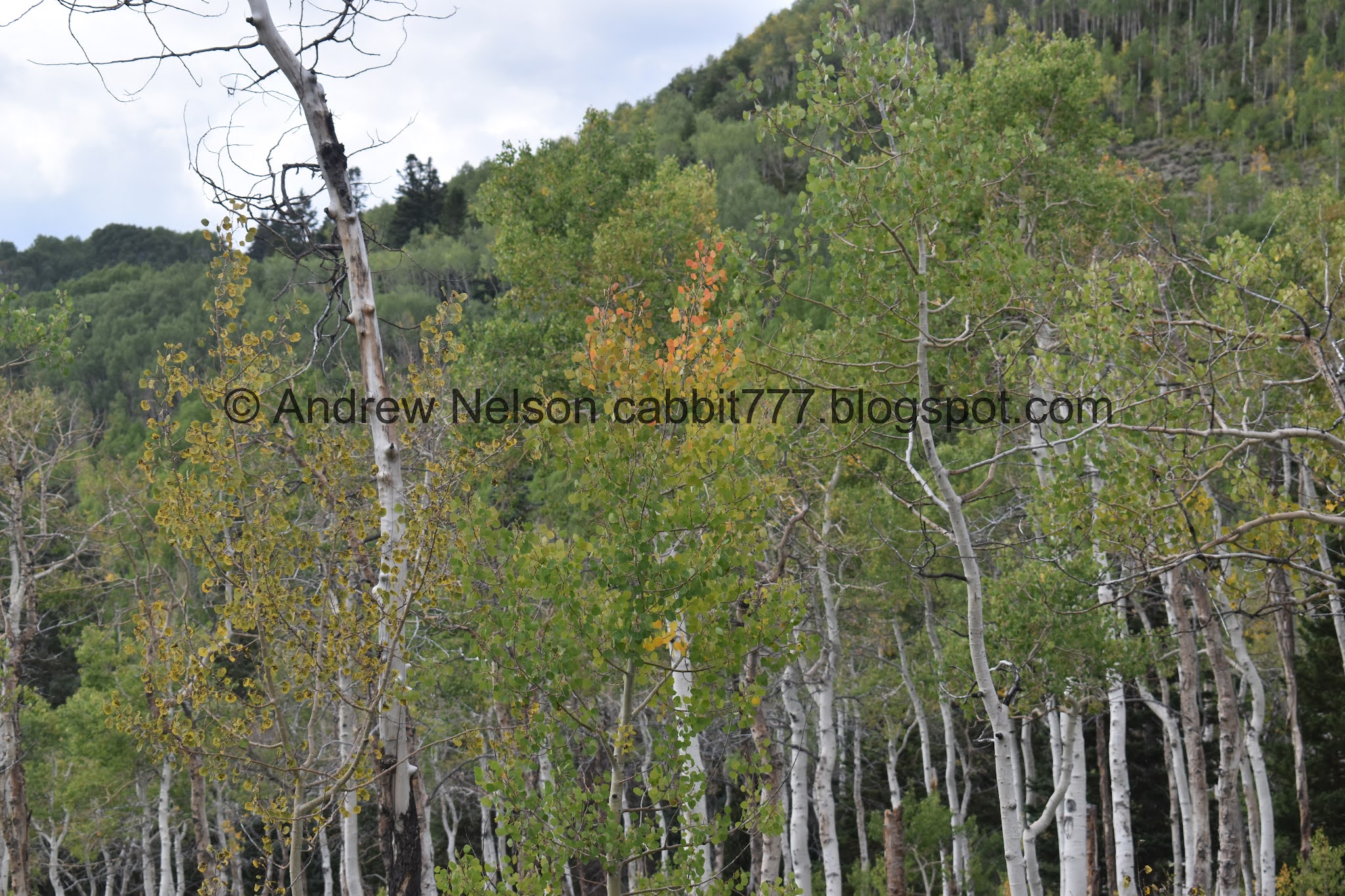
View across canyon.

Some more yellow peaking through.

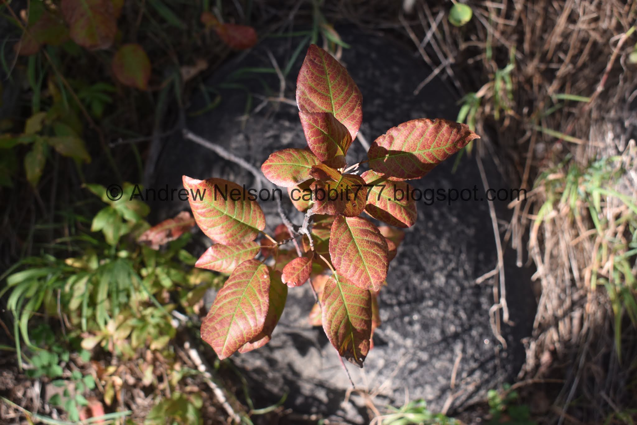
Some undergrowth turning some pretty red.

Some early changers.


Some wildflowers still hanging on.

The slope of the hill got just a little steeper than I like, which makes me a little nervous. I am a definitely afraid of heights, and the lizard part of my brain can take over on steeper slopes like this. I know that if I happened to slip here, I could crawl back up, but there is no reasoning with the lizard brain. Luckily it is just a short section just before the first switchback here.
Also, you gain most of the elevation on the first switchback, so after you go around the corner here the trail is a lot easier.

Heading up the next switchback, and the slope of the hill settles down again.

Oooh. Some yellows and golds.

View down canyon.

The forecast didn’t call for rain but uh…. Luckily we did not get rained out today.
Some more golds coming in.

Approaching the thick aspen forest.

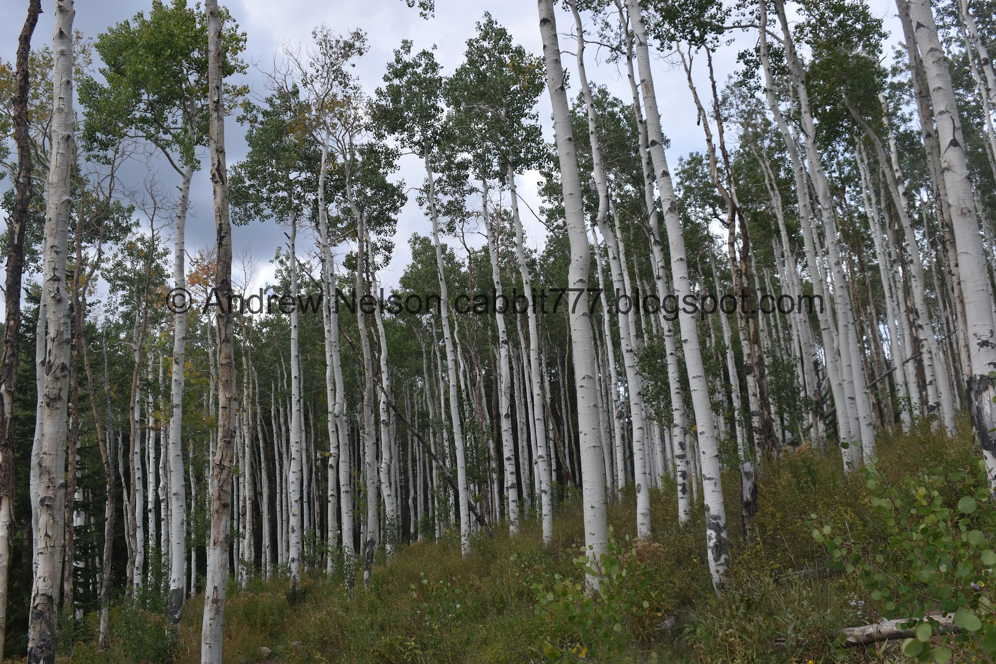
I just love me some thick aspen forests.

Crossing the original trail again.

The 2nd switchback, which is pretty mild. So it doesn’t quite feel like a switchback.

Some more golds.

Crossing the original trail again.

Some more golds.

Lovely forest.

Neat lightning shaped tree.

Gnarly looking grasshopper. Yikes.

The 3rd switchback. Again it is fairly mild so it’s kind of hard to call it a switchback.

Back into the aspens.

Super pretty.

I loves me a nice thick forest.

Super pretty.

Another gnarly grasshopper.. cricket? Either way, kind of icky.

4th switchback.
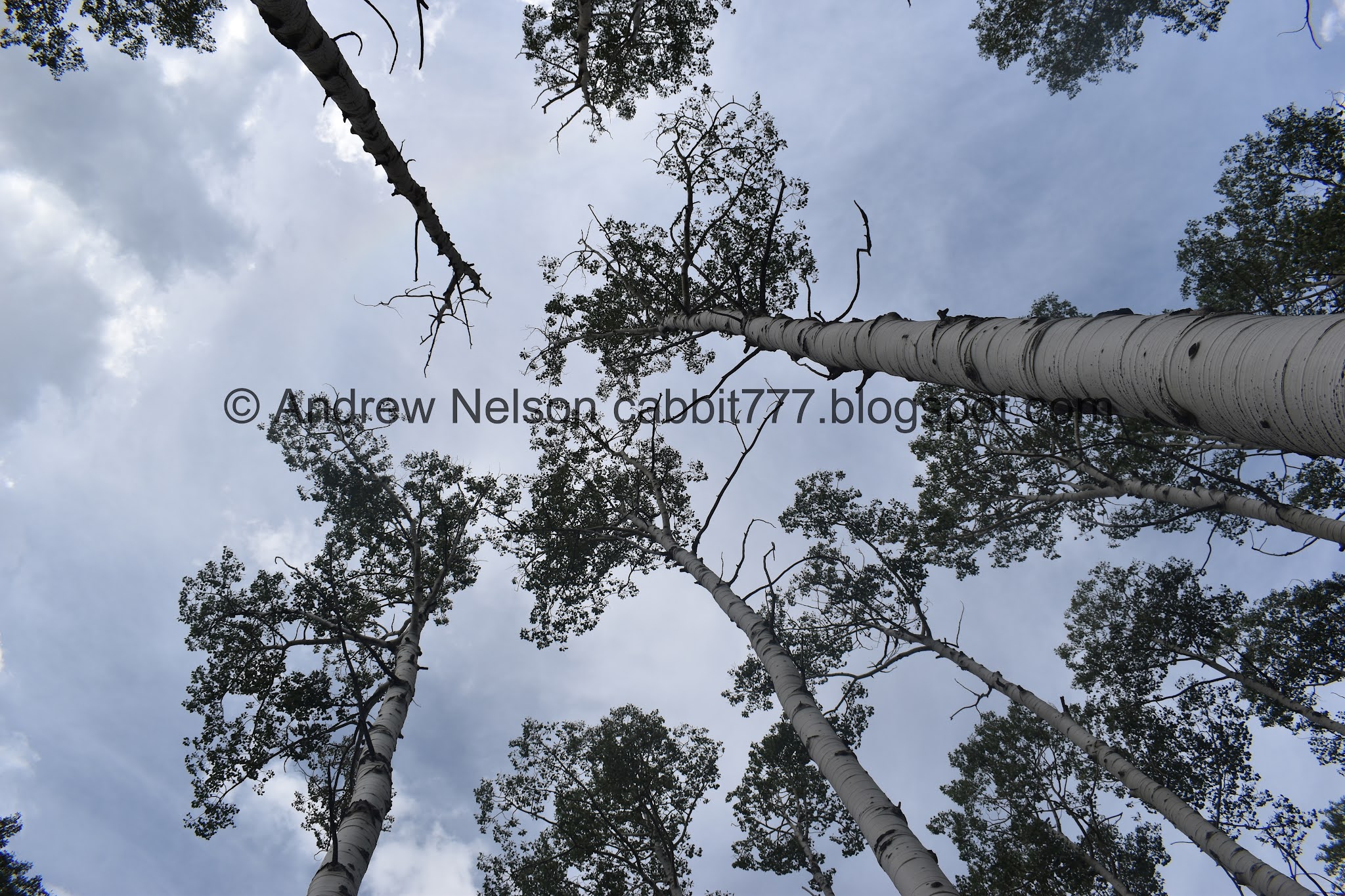
Looking up.

Where the reroute joins the original trail. So, for the rest of the way we will be back on the original trail.
From here on out the trail is really mild, practically flat even, and kind of just a lovely stroll through the woods.


Lovely forest.
Somewhere around here we passed a family who informed us there were 4 moose at the lake. Woo! That is exciting.

Entering the big clearing. This means you are almost there.

I love the cone shaped peaks up here.

Little depression. In the wetter months this may be a small pond. The first time we did this trail I thought it was the lake for a second and was pretty disappointed haha.

More cone shaped peaks.

View across the canyon towards Silver Fork.
This is approximately at the junction I mentioned. It is just a little bit further to the lake. I tend to like to take the left or west fork. It takes you to a little beach with a view of the lake quicker. Right is more marshy and overgrown.

A couple spots of color through here.

Okay, so far I see two moose.

The lake.

Still no official bridge for this crossing, but it’s pretty easy to get across.

The lake again.

Hrm. Still only 2 moose. I guess the other 2 have wandered off.

Time to pull out the handy telephoto lens.

Woo, look at the rack on that bull!

The cow.

Both of them again.

The bull again.
Well, we decided we wanted to continue around the lake. Luckily I felt the moose were far enough away from the trail that we could safely pass by.

Still have the telephoto in.

The cow.

Both of them.

The lake again. I was more interested in the moose at the moment so I didn’t take a lot of pictures of the lake.

Hello guy.

Hello lady!

Whoo, who’s a big boy?

The cow just getting her nom on.

Pretty good shot through the bushes.

Both of them again.

So, I definitely have his attention, but he is still pretty relaxed. If he started to get up I would have definitely hightailed it out of there.

Both of them again.

The cow again.

One last look at the bull.

One last parting shot.
The lake.

With the peaks across the canyon.

Tracks across the mud.

Peaks across the canyon.
The trail “around” the lake goes back pretty far into the woods. The lake is surrounded by some marshes, so the trail goes around them.

The willows turning color.

There are a LOT of these rodent holes. Like, way more than I have ever seen up here before. I am curious, what rodent they belong to, and what changed up here to make them seemingly so much proliferate.

Back into the aspens.

This part is normally very wet and muddy, but it seems the spring has dried up so it’s easier to pass through now.

One of the many fallen trees from the great windstorm of September 2019.

Pretty forest.


More fallen trees. Most are easy enough to climb over, the ones that are not already have new desire paths around them.

More aspens.


More fallen trees.


More forest.


Woo. Found some pretty paintbrush hanging on.

Had to squirm through some brush to see if the moose are still there, yep they are!

With the lake.

The lake and the peaks to the west.

Some more paintbrush.


Geranium leaves are beautiful when they change.

Some more wildflowers.

Back to the junction and the view across the canyon. We debated about going to see the moose again, but decided we should head back. We opted to go down the west trail which made us do a full figure 8 today.

The little depression again.

View across the way again.

Back into the aspens!

The west trail was rerouted quite a bit less than the east route. He is a short detour that allows the creek to revegetate, I assume.

New bridge that came with the reroute.

Long steeper section down. I wouldn't be terribly surprised if this part eventually gets rerouted as well.

Next rerouted section.

Pretty aspen leaf.

Mixed forest above the creek.

More forest.

Reconnecting to the original trail.

More forest.

More flowers.

Pretty colors.

Found a geranium still hanging on.

There are a couple of these drainage ditches that I never noticed before now. Either I didn’t notice them going up last time, or they are new.

Pretty.

Couple more paintbrushes.

More aspens.

Keep your eyes peeled for this little marker designating the side trail back to the trailhead. If you miss it well… you’re are in for a little bit longer and a trip through a neighborhood.

More forest.
This is pretty.

The new lower bridge.

Right after the bridge you will come to where both trails now meet. You will want to go right to get back down to the trailhead.


Some more fall color.

So, now that both trails have been re-routed, I think it is time to update the sign. Unless there are more reroutes planned for the west trail.
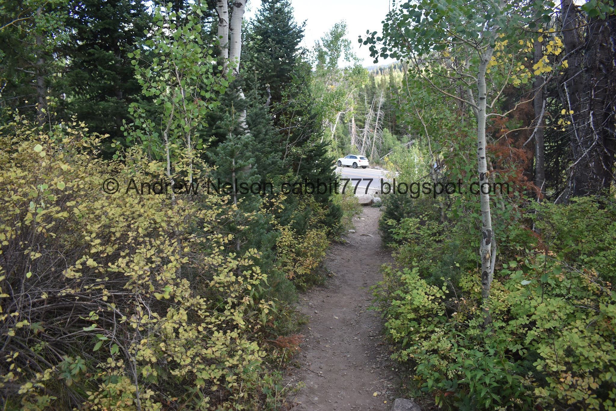
Back down to the trailhead.

View across the canyon.

Pretty yellows.

Heading down Big Cottonwood Canyon (PSP). Its a lot prettier without the smoke.

The sunflowers are going just wild this year (PSP).

There is some construction going on on Wasatch Blvd, which cause them to close the no stop, right turn lane out of the canyon. This caused a pretty nasty backup into the canyon (PSP).
Now that we have gone up and down both rerouted trails, I think I prefer the east route, and might even start using that for up and down. Its a lot more gentle, and a lot less rocky. Even with the short section that makes me a little nervous, and with it being just a smidge longer, I just think it is the better way to go. Plus you get most of the climb out of the way in the beginning with the end being practically flat. Where as the west route you have a longer climb near the end.
If it isn’t obvious by how often we do it, I just love this trail. It’s super pretty, fairly easy, and a good chance of wildlife. It wasn’t super busy today, there was some color starting to peak out, and of course the moose! 10 out of 10 squirrels today.
As for difficulty, both routes are pretty easy going so DR3.
Dogs are not allowed in Big Cottonwood Canyon so be sure to leave Fido home.

No comments:
Post a Comment