.jpg)
Twin Lakes reservoir is a beautiful reservoir located above Brighton. The reservoir is named for a pair of lakes that were combined when the dam was built, so it is now one body of water. The trail features wildflowers, wildlife, and just starting to get some great fall color. Not to mention a beautiful reservoir with some amazing peaks above it. And of course, I would be remorse to mention, one of my absolute favorite views along the Wasatch Front. The trail is a pretty short, but it is a relentless, rocky climb. Just so you know what you are getting yourself in for. This is one of my general go to trails, and we do it quite often.

Quick Details:
Length: About 2.2 miles out and back plus about a half mile out and back around Silver Lake. So about 2.7 miles total.
Trail Type:Out and back
Difficulty: DR4. This is a long climb up a rocky trail.
Elevation Gain: About 700 feet.
Restroom: There are flush toilets at the trailhead.
Dogs? No. Big Cottonwood Canyon is watershed.
Other Info:
To Get Here:
Drive to the top of Big Cottonwood Canyon to the Solitude Nordic Center/Silver Lake. Park.
Start walking around silver lake, the quickest route to the trailhead is to go to the right, or counter clockwise. You will see the trail split at the far northwest corner of the lake. Note: Near the end of fall they take the signs down to prepare for the ski season.

Still a little hazy, but at least I can see the mountains (PSP).
The Trail:

Silver Lake.

Yikes! There was a moose in the bushes right off the trail. Definitely closer than I am comfortable with so, when I realized what it was I snapped a quick shot and kept on walking.

Mount Millicent above Silver Lake.

Trailhead sign. As I mentioned, I learned one year that they take these down as we approach ski season.

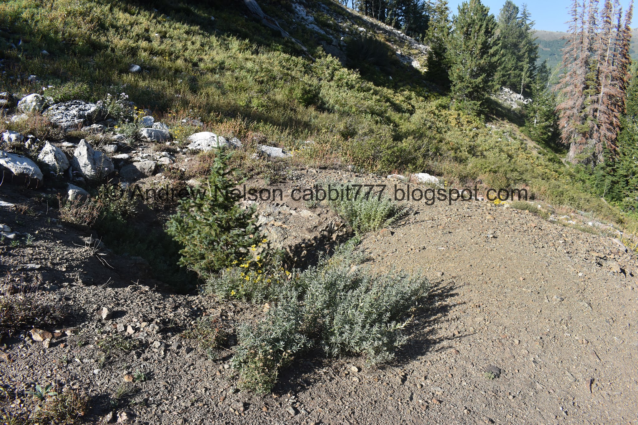
Not very far after the trailhead sign you will come to this 4 way split. Right is closed for revegetation, forward will take you to Lake Solitude (also a lovely hike) so left will take us to Twin Lakes.

It is signed, but again, they do take them down as we approach ski season.

Into the woods!


Some of the aspens are starting to change. I was hoping for that, and it was part of the reason I chose this trail today.


Pretty aspens.

Lovely forest.

The resiliency of trees. Something happened to the main leader branch on this tree, so a new leader branch has taken over.

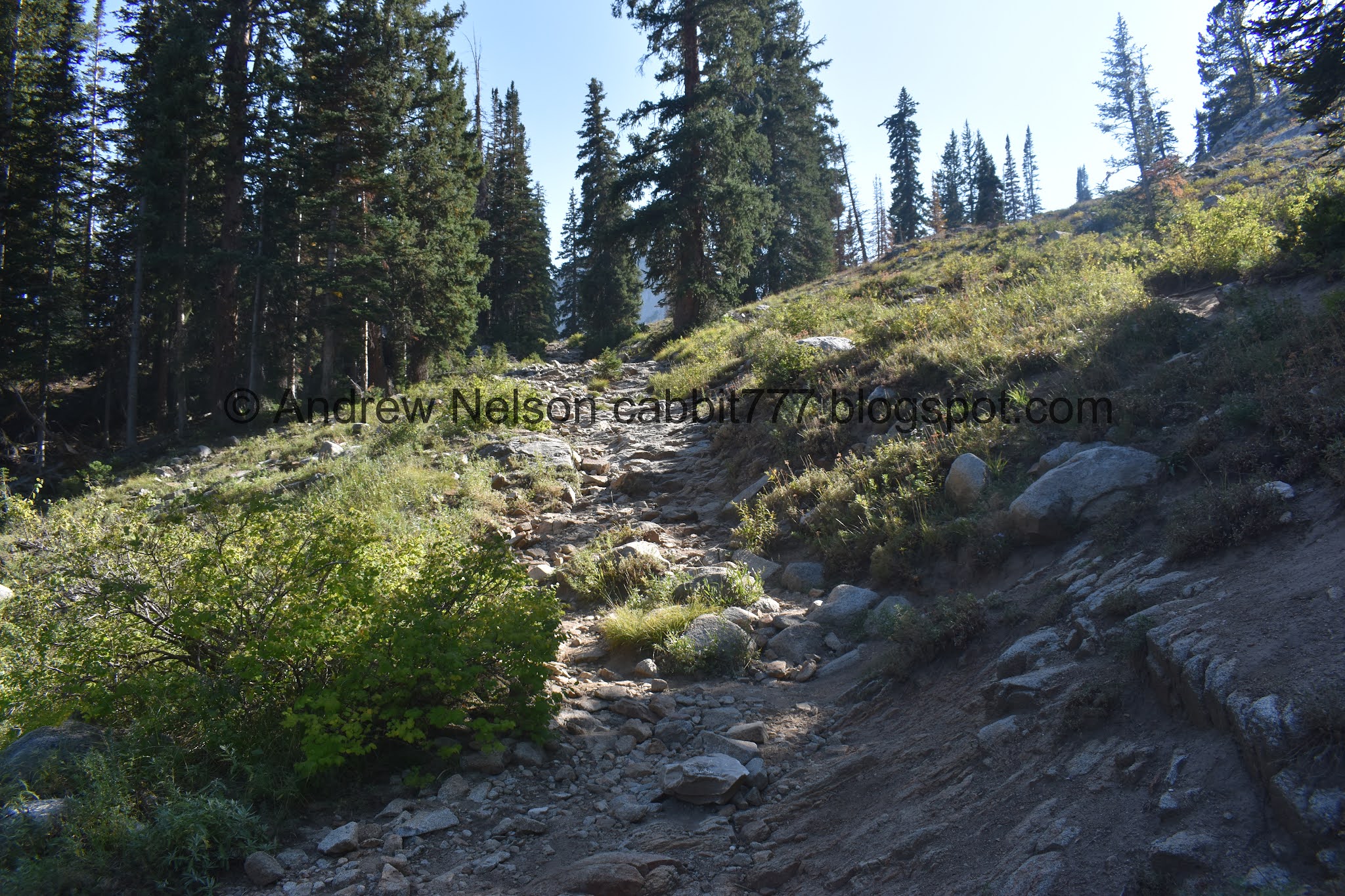
Steep and rocky. But this is nothing compared to what’s coming.

Some more early turners.

Cliffs above.

Reaching the rockfall area. Keep your eyes out for pikas and marmots.


Speaking of which. Check out this cute little pika.

Big scree field.

Another little cutie.

Then we saw a marmot!

Cute little fellers. Landis asked if they are mean, he said they look mean, like badgers. I think they look nice, but couldn’t find any information leaning either way, and well, wasn’t exactly going to find out for myself.

We saw a pair of marmots playing in the distance.

This is one of my, if not my absolute favorite view in the Wasatch Front.


There are a few wildflowers left to enjoy.

Short flatter section before the real climb starts.

Now onto the rocky, rocky climb.

Some pretty orange paintbrush.

Mine tailings.

Then the steep rocky climb really kicks in. Oi.

Super rocky.
We’ve learned over the years that it is totally okay to stop and catch your breath whenever you need to. No need to over exert yourself.

Pretty forest.
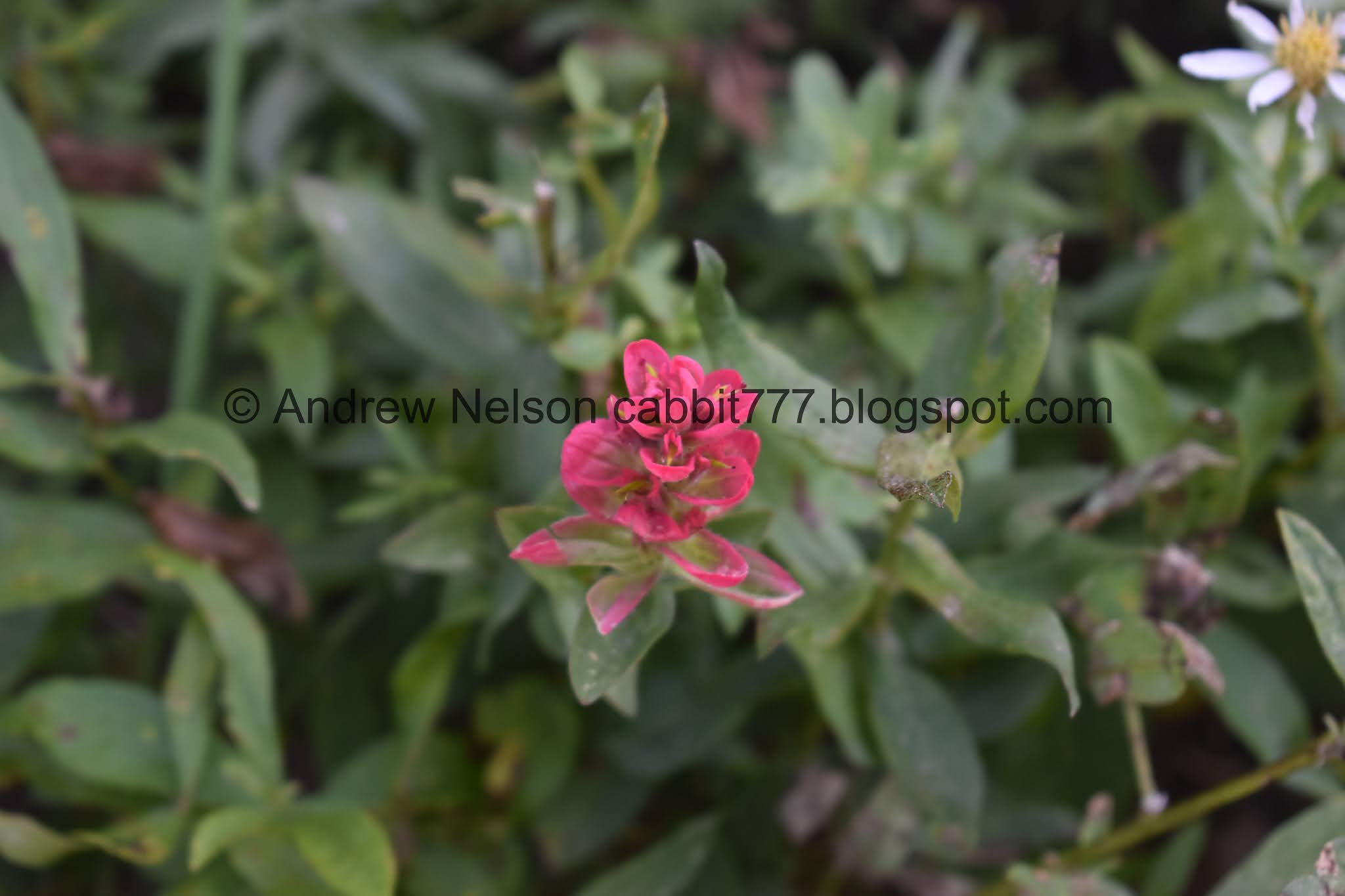
Another paintbrush.

Looking back across the canyon towards Guardsman Pass.
More up.

Another marmot.

Another one. Wow, that puts us up to 5 marmots so far.

Mount Millicent.

Looking across the canyon towards Scotts Hill and Guardsman Pass.

The dam. Woo! We are almost there.

First view of the reservoir.

Better view. Its a little low right now, but not the lowest we have seen it.

Mount Millicent, Mount Wolverine, and Mount Tuscarora.
Mount Wolverine, Mount Tuscarora, and Davenport Hill? Not 100% sure on that last one.

Quick panoramic.
After relaxing and catching our breathes for a minute we decided it was time to head back. We had other obligations. Looking back though, for the amount of effort we put in to get up here I kind of wish we had planned a little more time to relax up here, but meh.

The dam again.

Looking across the canyon again.

Back into the woods.
Old mine, with a tree growing out of it.

Approaching the rockfall area again.

Silver Lake below.

Panoramic.

Marmot! wow, I think this is the closest we have been to one.

Super cute little stinker.

Eventually I pulled out the telephoto lens.

Hello cutey!

Bye!

Pika mid hop.

A pair of pikas checking out the view.


Back to the marmot.

One of the two we saw playing across the way.
So these are very likely the same 3 we saw on the way up, which would put us at 5 total marmots today. However, they could be 3 new ones which would put us up to 8 marmots! Either way I am pretty sure it is a record count on one trail for us.

Another pika.
We could sit and enjoy the pikas and marmots all day, but as I mentioned we had somewhere to be so I managed to peel myself away.

More early changers.


Lovely forest.

Back down to the 4 way split. Right will get us back to the trailhead.

Back down to Silver Lake.

Some of the shrubs starting to turn.
Well, even if the trail is a bit on the tougher side, I still quite enjoy it. It has a beautiful view above Silver Lake. The forest is pretty, the wildlife is great, and well, the reservoir is quite pretty as well. During the holiday weekend, Silver Lake was quite crowded, but not very many people go beyond that, so while there was more than the usual amount of people on the trail, it still wasn’t busy. 10 out of 10 squirrels today.
As for difficulty, I think I am going to go with a 4. It is a long tougher climb that is pretty rocky.
Dogs are not allowed in Big Cottonwood Canyon so be sure to leave Fido home.

No comments:
Post a Comment