.jpg)
This is a great safer option to do in winter, but this is the first time I have hiked up the road in spring. This was my back up plan for today as the trail I wanted to do was just a little more crowded than I would have liked. And I figured the road was wide enough to allow room to safely distance from other users.

Quick Details:
Length: 5.6 miles total one way (after that you will be on The Meadows Trail). We did 2 miles today.
Trail Type: Out and back
Difficulty: DR2. Paved, gradual incline.
Elevation Gain: 750 ft. We did about 400 feet.
Restroom: Flush toilets at trailhead, and pit toilets along the way.
Dogs? Dogs are allowed, on leash up to picnic area #16. Which is just below the water treatment plant. Above that is watershed.
Other Info: Fee Area (if driving up on an even day in summer) $3.00 per car. Exact change.
To Get Here:
From Downtown SLC take North Temple east. Once you cross state street it becomes 2nd Ave. 2 blocks later you will turn left on B street. Continue up hill to about 11th avenue where there is a fork in the road. Take the left fork which descends into City Creek Canyon on a one way road. The road will start curving east, and there will be a small road on the right called Canyon Road. Take that and drive to the gate and park.
The Trail:

The trailhead/fee station.

Area map.

The canyon is super green right now.

The creek.

I forgot what these are called.
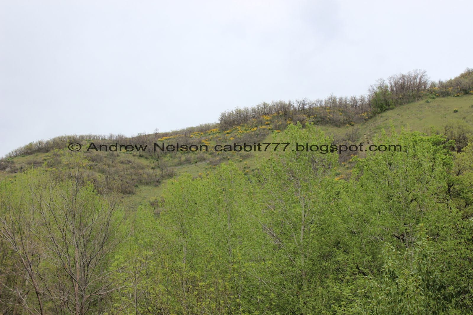
Flowers up on the ridge.

I freaking love hiking in May. Everything is so green and pretty.

Hidden Falls. If you don’t hear it and are drawn to it, it is just below picnic site #2. It’s not a big waterfall, but I still think it is pretty.

A true twin waterfall. I would imagine once runoff really kicks into gear it might become solid.

Looking downstream.

From above.

Back on the road.

More of those plants. I can’t say I have seen such thick patches of it before.

Looking up.

I love all the little caves up on the cliff.

A couple small cascades.

More of the caves.

Everything is starting to get nice and green.

A spring.

The top of it.

Neat little spire.

Cliff above.

Nice little clearing.

Another fun rock outcropping.

Lovely clearing. I think this is about as far as we made it last time.

Little sub peak with what appear to be old jeep tracks. That seems awfully steep!

Just loving the green hill sides.

Little peak nestled in a little valley.

More green.

Back into the wooded section.

Deer bones.

Bend in the river.

We had decided that we would turn around at 2 miles. However we noticed the next picnic area was just above this so we thought we would take a quick break.

I want to say that is Little Black Mountain back there, but I am not 100% sure. Could be Grandview or Lookout.

Little picnic area.

The forest behind it.

The hill across the way.
Well, that was a lovely quick break, but we decided to head on down.
I noticed there appeared to be a thinner trail on the north east side of the road, and we considered taking that down. But we weren’t sure it went all the way down, so back down the road we went. We did learn the thin trail does go down to the bottom.

Heading down.

Down canyon.

Some wildflowers starting to come up.

More green hills.

Down canyon again.

The caves below.

More green hills.
Down canyon.

Getting closer to the caves.

Some on the other side of the canyon.

More cliffs.

Into the woods.

The creek.

More forest.

More cliffs.

Closer to the caves.

That is a neat spire.

Big boulder that appears to have fallen from above.

Lots of signs, and markings on the road to remind pedestrians to remain creek side, even coming down. It seems counter intuitive as the general rule of thumb is hike to the right. But this canyon is a little different and it is to keep you safe from the downhill bikers and cars in the summer time.

More forest.

Flowering trees.

Back down to the big spring.

Larger bird. Pretty hard to identify from just a silhouette so I’m not going to try.

At the top of Hidden Falls.

Hidden Falls again.


Wildflowers.

Where the side trail starts. From what I can tell from the map, it stays parallel the road all the way up to Picnic Area #17, and the watershed boundary. Most of it is hike only. Now that I know it is there, I might have to check that out some time.

Just a little further to the entrance.

Near the entrance gate the sound of a waterfall drew me back towards the creek. It’s even smaller than the one above but still nice.

The creek fans out a bit near the mouth of the canyon.

Another flowering tree.


Following Bonneville Blvd (one way) out of the canyon and around Memory Grove, offers a view of the capital and downtown. (Passenger Seat Photography (PSP)).

The State Capitol (PSP).
Well, not much of a hike, particularly during my favorite time of year to hike, but it was still absolutely gorgeous. Offering some pretty neat views. It was a little more crowded than I would have liked, but I liked that the road is plenty wide so we could keep our distance for the most part. Going with DR7.
As for difficulty, it’s paved, with a mostly gentle incline. DR2.
Dogs are allowed, leashed up to picnic area #16. Please clean up after your furry friends.

No comments:
Post a Comment