The Willow Heights Trail in Big Cottonwood Canyon is a beautiful trail through an aspen grove that leads to a nice little lake. We have actually done this one several times this year.
My original idea for the day was Donut Falls however when we got to the trailhead, the place was a freaking zoo. It looked like it does in the middle of summer! So we drove up a little higher and noticed there were only 2 cars here so, well, here we are. I don’t mind it, I enjoy this trail. Plus we had the fun experience of watching 1 of 2 trail reroutes come into fruition.
Quick Details:
Length: The sign says .75. With the reroute, the west trail is now closer to .88 miles to the crossroads and about a mile to the lake. We did not explore the east reroute today.
Trail Type: Loop or figure 8. Can also do out and back.
Difficulty: DR4. Its shorter, but it has some steep spots and some rocky spots.
Elevation Gain: 670 feet.
Restroom: No. The closest public restroom I am aware of is a little further up canyon by Silver Lake.
Dogs? No. Big Cottonwood Canyon is watershed.
Other Info: Watershed also means no swimming. Just a heads up.
To Get Here:
Head up Big Cottonwood Canyon. Past the Silver Fork Lodge. About halfway between mile marker 13 and 14 there will be a boulder on the left (north) side of the road. If you reach Solitude you went too far, but don’t worry. the canyon ends at a loop that will easily turn you around.
Heading up Big Cottonwood Canyon (Passenger Seat Photography (PSP)).
There isn’t a lot of snow, but it is still a winter wonderland up here (PSP).
Mill D South. Our original plans (PSP). Not shown, the huge crowds of people.
The Trail:
The trailhead. It is amazing that this late in the year, even this high up, there are patches of mud!
Into the aspens.
Oh wow. They closed the original trail completely. I wasn’t sure if they were going to do that or not. Both re-routes now follow what was the secondary trail to the west now.
More aspens.
Not the best picture haha. But before you cross Willow Creek for the first time the trail splits again. The new east trail to the right, and the mostly original west trail to the left.
Silver Fork across the way.
More aspens.
This is new! I am glad they put that in cause the trail split is easy to miss on the way down. We actually missed it once and had a fairly long detour.
More aspens.
Nearing the creek again.
Couple of muddy sections. But luckily no sloppy, boot sucking mud.
Looking up towards Brighton.
Across towards Silver Fork again.
And down Big Cottonwood Canyon.
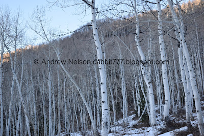
Aspens all the way up the hill side.
Through the woods.
Up towards Brighton again.
Last time we did this trail in winter we had the wonderful experience of post holing through the deep snow. This time that wasn’t so much of an issue.
More aspens.
I wasn’t 100% sure at the time, but this is what it looks like when they block off an old trail to get users to use the new one. They generally do this kind of thing when a trail is causing excess erosion.
Here is where I became certain we were on a rerouted trail. The original trail didn't come close to the creek again until the next creek crossing.
Here is the top of the rerouted segment. I actually remember seeing this being built last time we were here.
Thinning aspens.
Looking down Big Cottonwood.
The small clearing. This means you are getting close.
Skinny aspens.
Crossing Willow Creek again.
Looking up.
Mixed forest.
The big clearing. This means you are almost there!
The lake is just beyond that bump.
Panoramic.
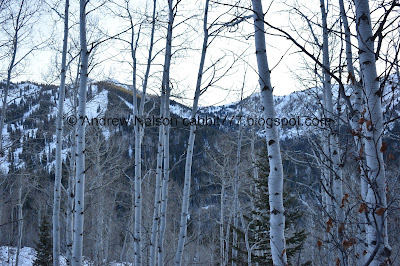
The mountains across the canyon.
I didn’t get a picture of it, but eventually you will come to the crossroads, where the east trail and west trail meet and cross. The quickest, and most enjoyable way to the lake is to the left.
Naked aspens below a set of twin peaks.
The lake. Quite frozen and covered in snow. A lot of brave people have walked across it.
The third and final creek crossing. This was a little dicey with the snow, but not too bad.
The lake again.
Panoramic.
The lake with the peaks across the way.
Willows, aspens, and pines.
I noticed a bit of hoarfrost.
Normally I like to do the loop around the lake, which only adds about three quarters of a mile. But we decided that might keep us on the trail until after dark so, we turned around and went back the way we came.
One last look at the lake.
Back down to the big clearing.
Another panoramic.
I wanted to check out the new east trail re-route, but I wasn’t sure if it is complete, or how long it is. It seems to be quite a bit longer from what we observed earlier this year. We ultimately decided to just return the way we came.
Back into the woods.
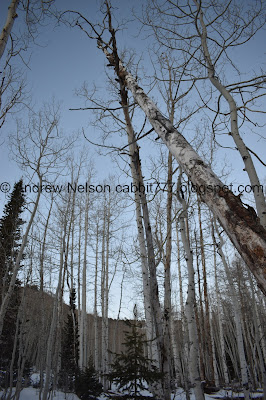
Looking up.
Precariously perched fallen tree.
View down Big Cottonwood.
Heading down. This was the only section I thought we really needed the micro spikes. I never did bother putting them on though. I only slid once haha.
Original, and now closed, trail forward. New re-route to the left. Its kind of cool to see that come to fruition.
More forest.
View down canyon again.
Heading down.
I love when the aspens are so thick they practically make a wall.
Back down to the new, lower east/west trail split.
One last shot of the aspens.
The trailhead sign has yet to be updated.
My camel pack apparently drips a little and I had a small line of ice down my jacket.
This is kind of a weird year, snow wise. So, I don’t know how often you can do this trail this late in the year without snowshoes, but our random plan B for the day was quite enjoyable. I am also excited to come back and check out the new east route. The original route was quite a bit rough on the knees haha. I enjoyed that we had the entire trail pretty much to ourselves as well, passing only 1 other couple. Going with 9 squirrels today.
As for difficulty, even though it is short, this trail is quite the climb and definitely gets us huffing and puffing. DR4.
Dogs are not allowed in Big Cottonwood Canyon. so be sure to leave Fido at home.
.jpg)


