.jpg)
This segment of the Jordan River Parkway is pretty nice. There is a lot of wild open areas, but also a bit of neighborhood and a lot of it followed power lines. So, it was not my favorite section, but still alright. Not a lot of people either. Plus I had a good day of birding. They completed the map before this segment was completed, so the mileage is a bit off. I expected to do 3.8 miles today, and ended up doing 4.4. Not extreme, but it was a surprise. This segment oddly doesn’t really follow closely to the river.


Quick Details:
Length: 4.4 miles out and back.
Trail Type: Connecter, out and back, balloon options.
Difficulty: DR2. It’s paved.
Elevation Gain: 236 ft. This segment is a little hilly compared to the rest.
Restroom: At both ends!
Dogs? Yes, leashed. Please clean up after your furry friends.
Other Info: JRP Mile Markers: 12, 13. Cities: Bluffdale
To Get Here:
Take i15 to 14600 S. Go west approximately 2 miles and you will see the trailhead on the right.
Or, take Redwood Rd. to 14600 S. Go east for about 8/10ths of a mile, and you will see the trailhead on the left.
The Trail:

Trailhead Sign.

To head south on the Jordan River Parkway from the Spring View Farms TH, you have to walk east along the road for about .15 of a mile. If you really don’t want to do that, head north on the JRP. At about 400 ft you will hit a junction to swing back south. This will add about 1/10th of a mile each way though.

Where both options meet up you have a crosswalk, with a button to activate a flashing light to help remind drivers to stop for you.

Nice view of the Point of the Mountain.

Trees and moody skies.

Steep Mountain.

Looking towards the Jordan Narrows with some fun clouds.

Cow farm. You can smell it too haha. Not horrible though.

Kennecott Copper Pit.

Mile Marker 13.
I am curious as to why the pavement changed. I am pretty sure we haven’t crossed into Utah County yet. Random.

The cows again.

The East Jordan Canal.

Just a shot of the trail.

The East Jordan Canal again.

Farms and Kennecott.

Power lines.

Crossing 1300 west. There uhm… isn’t a whole lot of traffic on it.
Also, the trail pavement switched back.

The trail follows the power lines for a bit. Yes, you can hear them buzzing.

Nice open field.

The river is down in that gully.

Mess of power lines.

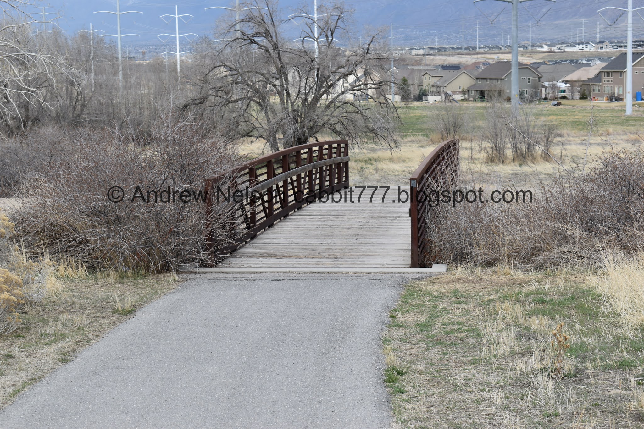
Bridge.

Loads of phragmites. An invasive species. Every spring they burn a bunch of them, but I can’t foresee them ever getting them under control.

Bridge over the Jordan River.
Finally! The Jordan River. I am pretty sure this is the longest segment of the entire trail system that isn’t close to the river.

From the other direction.

Duckies! And, an American coot towards the back.

Steep Mountain.

Another road crossing.

I really wasn’t sure which way I should have gone. Last time I followed a JRT Connector I ended up going the wrong way. Crap. Then I noticed a Jordan River Trail mile marker sign to the right so I went that way,
I doubted I went the right way a few times, but I crossed another mile marker so I think I stayed on the JRP. However, I see you could go either way here if you want. Left appears to stay in the neighborhood longer though. This is one of the places you can make a balloon if you wanted to.


Just a mile to go to the next trailhead.

Short spot that follows the road for a bit. Meh.

Alternate trailhead option at Parry Farms Ball Park.

Top of the hill, and heading down. Also veering away from the road. Woo!

Steep Mountain with the point of the mountain.

Mount Jordan, Box Elder Peak above Corner Canyon, and Steep Mountain.

Fun Jordan River Parkway logo on the trail.

Mile Marker 12.

More power lines.

Narrow little valley.

Steep Mountain and the Point of the Mountain.

This guy has a freaking zip line tower and catching tower in his yard.

Some of the first little flowers of the season.

Twin Peaks, Mount Jordan, and Steep Mountain.

Another Bridge.

The Utah and Salt Lake Canal, to the north.

To the south. Oh here is another loop option by taking the Utah and Salt Lake Canal Trail.

How many deer trails do you see?

The narrow valley again.

Rabbitbrush and Point of the Mountain.

Starting to be able to see Mount Timpanogos.

Fun clouds.

Whoa…

I can’t remember the last time I saw an actual tire swing!

I was just thinking about possibly turning around when I noticed this. Okay, lets see what else there is.

Okay. I made it to Parry Farms Park. Woo.
I imagine I have 1 to 3 more segments before I will reach the Utah County Border.
Alright, I made it to the next trailhead, so I decided to head on back.

The Utah and Salt Lake Canal and trail. Here is the other end of the last loop I mentioned.

The canal again.

More fun clouds.

Power lines. oh and look, you can see the Aquariums claw from here.
Back to the bridge over the Utah and Salt Lake Canal.

Gnarly old tree.

Back to the little valley below the Utah and Salt Lake Canal.

Squirrel!

Back to mile marker 12.

More fun clouds.

Corner Canyon again.

The short part along the road again.

Just another 1.2 miles to go.

Crossing the road again.

The bridge over the Jordan River.

American coot.

The river is almost comically low.

Ducks working their way upstream.

The power lines kind of ruin the view but meh.

Some kind of hawk WAY off in the distance haha. It was long gone before I managed to get the telephoto lens on.

More fun clouds.

Mountains.

Looking towards the Jordan Narrows again.

Back to the East Jordan Canal.

Downy woodpecker, male.

He is super cute.

I found him because I heard him pecking. But apparently he decided a grooming session was in order.

Downy and hairy woodpeckers look very much alike. Aside from their size hairys are bigger, but unless you happen to have one of each side by side, that’s not particularly helpful. A real good field mark is beak size. If the beak is almost as long as the head, you have a hairy wood pecker. If the beak is quite a bit smaller than the head, you have a downy.

Just to show off the red spot.
If this is the only view of the woodpecker you get (which is likely as they generally sit facing the tree) it is helpful to know downy woodpeckers are about the size of a sparrow, and hairy woodpeckers are the size of a robin. But, again, that does take some getting used to.

It looks like he is not far from home.

Gnarly burl! A deformed growth found on trees. I learned about these on our trip to The Redwoods.

The East Jordan Canal again.

Oh! What do we have hear? Please please stay put while I get the telephoto lens on.

Looks like I caught him enjoying lunch.
Coopers hawks and Sharp-shinned hawks look almost identical with the big differentiating thing being size (just like the woodpeckers before). This seemed a bit smaller than the last Coopers hawk I saw so I was starting to lean towards Sharp-shinned… however sharp-shinned are generally about the size of a blue jay, and Coopers the size of a crow. That helped me a great deal as this is definitely bigger than a blue jay. The lighter feathers at the nape of the neck, and the big head are also good field markers.
If you are starting to get into bird watching, there are great resources out there. I recommend audubon.org or look to see if there are local birding groups on Facebook.


I have had the awesome experience of watching a raptor enjoy a meal before, but not quite with this amazing vantage. It is a weird sense of awe, mixed with a twinge of sad for the poor beast that had to die to feed the hawk. However, circle of life. I love song birds, but I love raptors too. Same thing when I watched a wolf eat a squirrel.


Nature is metal.

That. That is the shot I was after! So I decided to leave him to his meal. I was starting to feel like I was intruding.

Farmland.

Back to mile marker 13.

Back to the 14600 S crossing.

Walking back along the road. As I mentioned at the beginning of this post, you can avoid that by continuing down the JRP to the next junction, but it will add about a tenth of a mile each way.

Old water tower from the Spring View Farms Trail Head.
This segment was pretty wild and natural, and wasn’t too crowded on one of the first nice spring days of the year. however, the power lines really killed a lot of the views. I was going to rate it at 5 squirrels, but I will bump it up one with the great bird sightings today. so, 6 out of 10 squirrels.

As for difficulty, this segment is a bit hillier than the rest of the trail, however it is paved and generally mild. DR2.5
Dogs are allowed, but must be leashed.

No comments:
Post a Comment