.jpg)
Potato Hill is a neat little sub peak located in Draper. It features amazing views of the Salt Lake Valley, wild flowers, and possible wildlife. There is a great little loop around it, and if you feel so inclined it is a fairly quick peak to bag (short, but a bit of a scramble). This time of year is the perfect time to do it as there is not a lot of protection from the sun. We have done this one before, but I enjoyed it so we came back.

Quick Details:
Length: The loop is 2.26 miles. The spur to the peak will add about .2 miles out and back for a total of 2.46 miles.
Trail Type: Loop, with optional spur to the peak.
Difficulty: DR3 for the loop. The spur to the peak will bump it up to a DR4.
Elevation Gain: About 350 feet for the loop, and an additional 75 for the peak spur.
Restroom: Yes.
Dogs? Yes, leashed.
Other Info: This trail starts at the top, and returns uphill. If you do clockwise like we did, its an easier climb up. There is an option to start at the bottom, but that will add a bit to the length.
To Get Here:
From I15 Take exit 288, or 14600 S in Draper. Go left. Go almost a mile and turn right on Traverse Ridge Dr. About 2 miles later turn left into the small parking lot.
Go through the gate at the NW end of the parking lot and turn left. Signed for Red Potato Trail.
The Trail:
The Peak:

There didn’t appear to be any people up on the peak, so we decided to just go for it. It is a little spur trail just off the parking lot.

Trail map at the kiosk.

There appear to be several trails options up to the top, but this is the most prominent, and it didn’t seem so bad….

Well, maybe I was wrong. This is quite the scramble. oh boy.

I have learned that when I am struggling on a steep slope, it is sometimes helpful to stop and take a breath.

But we made it to the top! I am a little proud of myself that I made it. Yes it is a short climb, but it was a steep climb.

To the north.

East. I think that is Anns Trail.

South.

West.

Corner Canyon.

Antelope Island off in the distance.

Panoramic.

Heading back down. Meep.

Looking back at the peak.
A little further back.

I spotted some deer across the way.
The Loop

I recommend doing the loop clockwise and starting with the Red Potato Trail, which is on the west side of the parking lot. I haven’t tried the other way yet, but I think the climb up would be tougher that way.

You can see the aquariums claw from here.

One of 2 spots that are just a smidge scary (I’m afraid of heights) But I was able to get through them.

Lone tree.

The trail and a deer trail.

View out. Oh and I think you can see the Spring Hollow Trail below.

Looking back towards Potato Hill.


Turkey vulture.

Looks like there was a fire here.

Trail Split. As a general rule for this loop, you will always take the right split, there is one exception right at the end that should be pretty obvious. Of course if you are going the other way, it will be left forks.

Desert parsley.

More burned trees.

Potato Hill again.

Again, with the trail.

Little closer.

Panoramic view.

Antelope Island again.
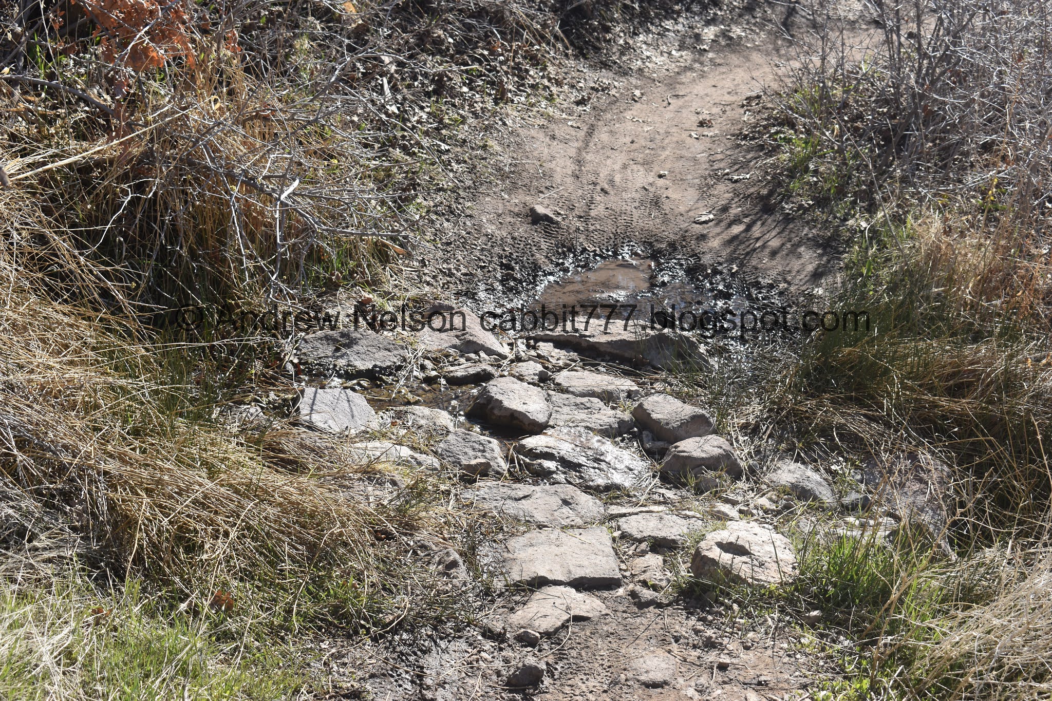
Spring crossing the trail.
You know, it just dawned on me that this might be the spring that Spring Hollow is named for.

Glacier lilies!!! This is one of my own personal, okay it’s officially spring indicators.

Wow, there are a bunch of them through here.


Got a little closer.

The next trail split. Again, you will hang a right here, which will put us on the BST for the middle section.

More glacier lilies.

Potato Hill again.

Phragmites.

The peak again.

Short portion along Mike Weir Drive. That is a little meh. but it’s not too bad.

Panoramic.

There are a couple random orange scree piles along the way.

Larger one.

They are kind of interesting to walk through.

Turkey vulture again.

Hang glider.

Deer trail.

Whelp, it appears we have hit the low point of the trail, and now the climb begins. It is a very gradual climb from this direction though.

Potato Hill looks a little off from this vantage.

I believe these are forget me nots.

Another glacier lily.

Random scar. looks very similar to the nearby Silica Pit.


More glacier lilies.

A triple.

Looking into Corner Canyon again. You can also see Burnham Gorge to the left.

Castle inspired mansion.

The mountain.

You can see the Bonneville Shoreline pretty clearly here.

Box Elder Peak.

Small neighborhood connector split. Stay right.

Mount Jordan.

The next trail split. Left will stay on the Bonneville Shoreline Trail and take you to Corner Canyon. Right is the Potato Hill Trail and will take you back to the trailhead.

Direction sign.

There is a nice overlook point here. But, I haven’t dared to get too close to it haha. This is the second part of the trail that is a little scary. Again, super short and not that bad.

View. You can see Spring Hollow below.

Panoramic.

Potato Hill.

The scar that resembles the silica pit from above.

Potato Hill.

A hang glider and a paraglider.

The last part of the trail is great.

Potato Hill again.

View down.

The last bit of climbing. See totally mild.

The back side of Potato Hill.

View down again.

Final major split. Again, hang right.

Potato Hill looks like nothing from back here haha. Also note the faint trail split. This is the one place you will veer left, unless you want to climb the peak from back here. It looks pretty steep as well, but might be a bit easier.

The peak from the parking lot. You know what, this trail on this side, doesn’t look so bad. Maybe next time we come here I will try that one to the top. I only used the other one because it seemed like the most prominent trail. Ah man, I am kind of kicking myself now for not noticing this earlier.

A bunch of paragliders today at the Point Of The Mountain Flight Park (PSP).
I really enjoy this trail. The views are great. It is the perfect level of difficulty in that there is a bit of a workout, without really struggling at all. I am also super happy I made it to the peak, even if I did it the hard way (which I will have to come back to double check that). Not to mention today was a good day to do it. On a warmer day it would probably not be fun as there isn’t a ton of shelter. 9 out of 10 squirrels.

As for difficulty, It’s a really mild climb. DR3.
Dogs are allowed, but must be leashed. Also, be aware you are just below the watershed boundary so don't go exploring much higher if you bring Fido along.

No comments:
Post a Comment