.jpg)
Cecret Lake AKA Secret Lake is a high alpine lake located in the Albion Basin above Alta in Little Cottonwood Canyon. The shorter trail features some amazing wildflowers, beautiful forests, a lake beneath iconic peaks, and wildlife. It is a very popular trail though, and often overrun with smaller kids, which is why we started to only do this one on obscure holidays, or random days off. I totally forgot that fact today and we did it on a regular weekend. The shuttle still has not resumed after being shut down in 2020. So you will either need to drive up the summer road, or add about 1.5 miles each way hiking the Albion Meadows.

Quick Details:
Length: 1.6 miles out and back, if you park at the TH. 4.6 out and back VIA Albion Meadows. And you can add 6/10th of a mile walking around the lake.
Trail Type: Out and back, Balloon option.
Difficulty: DR3. There is a bit of climb, but its not too bad.
Elevation Gain: About 480 feet.
Restroom: Pit Toilets at the Cecret Lake TH. Flush Toilets at Albion Base.
Dogs? No. Little Cottonwood Canyon is watershed.
Other Info: There is a $10.00 fee to use the Summer Road and park at the Cecret Lake TH.
Also: Please do not allow your children to pick wildflowers. Not only do you remove them from other people to enjoy for the season, doing so removes them permanently as picking them removes their ability to reseed. You get a whole 3 days to enjoy them in a glass, while the rest of us don't get to enjoy them at all. Don't be that guy. Also, it is illegal.
To Get Here:
Drive to the top of Little Cottonwood Canyon. Stop at the ranger station and pay your dues. Continue about 2 miles up the Summer Road which is not paved, however most sedans should make it just fine.
Alternately, at the top of Little Cottonwood, go right at the ranger station, and park at Albion base then hike up the Albion Meadows. Or, if they ever resume the shuttle, use that (they charge a fee for that but I don’t know what it will be. Last I remember it was $5.00 per person).

Considering all of the wildfires, including a huge one just west of us, the air isn’t too terrible today (Passenger Seat Photography (PSP)).

Heading up Little Cottonwood Canyon (PSP).

The large overhanging boulder has been “propped up” with a stick for a long as I can remember (PSP). The stick has changed several times, but it’s always there and it just a fun childhood memory.

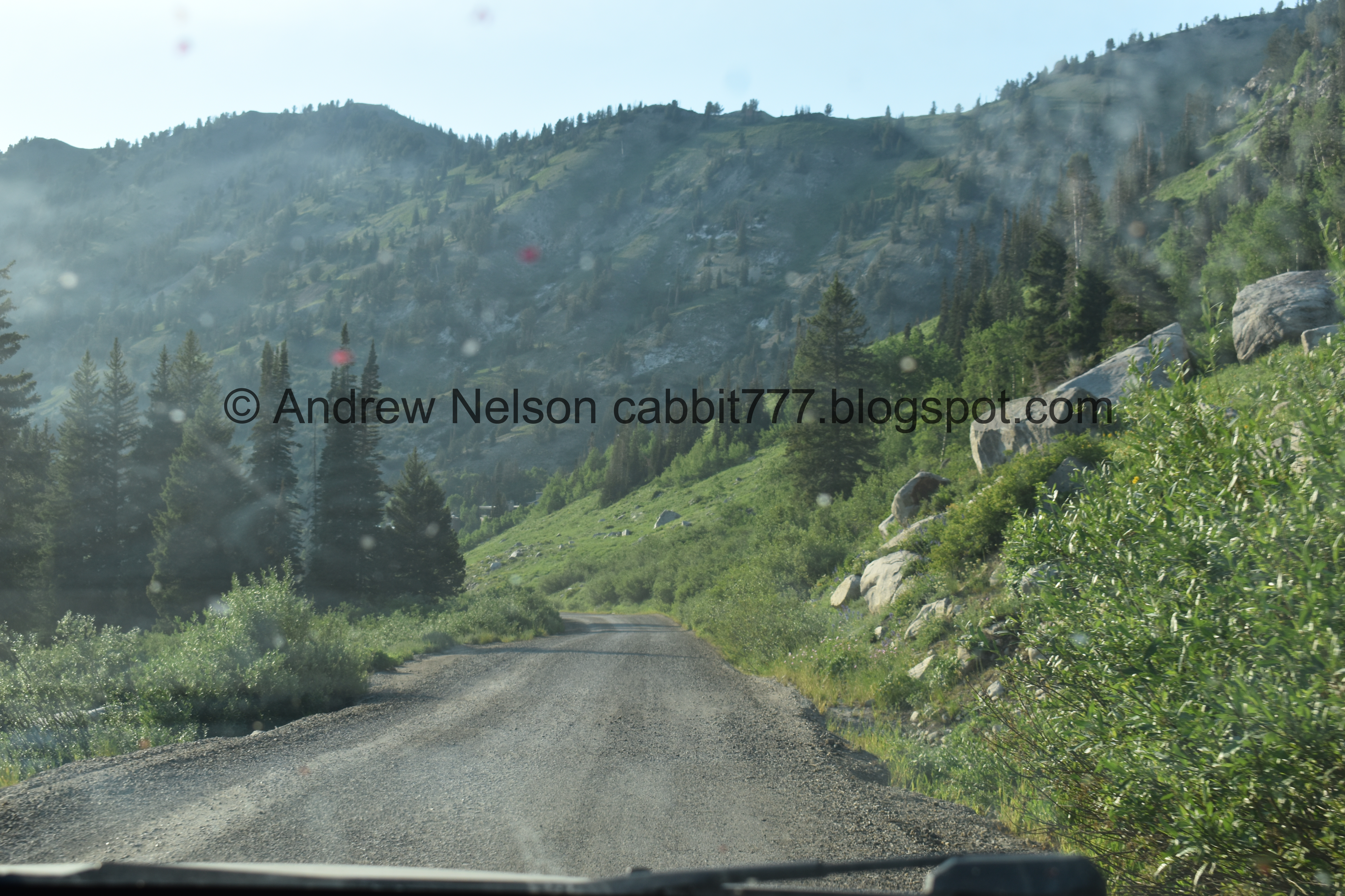
The beginning of the summer road (PSP).

The summer road is pretty.

As far as high elevation, unpaved roads go, it’s not to bad. Really the only part that makes me nervous is just below the Catherine Pass trailhead.
They have added a little gift shop at the trailhead. I always think about getting something on the way down, and they are always closed by the time we make it down. So today I picked up a t-shirt and stuffed it into our hiking bag. I don’t mind paying for a t-shirt if it goes towards something I enjoy.
The Trail:

Devils Castle. My original plan was to do the Devils Castle Loop today, but last minute changed my mind. Wish I hadn’t but meh.

Big patch of penstemon.

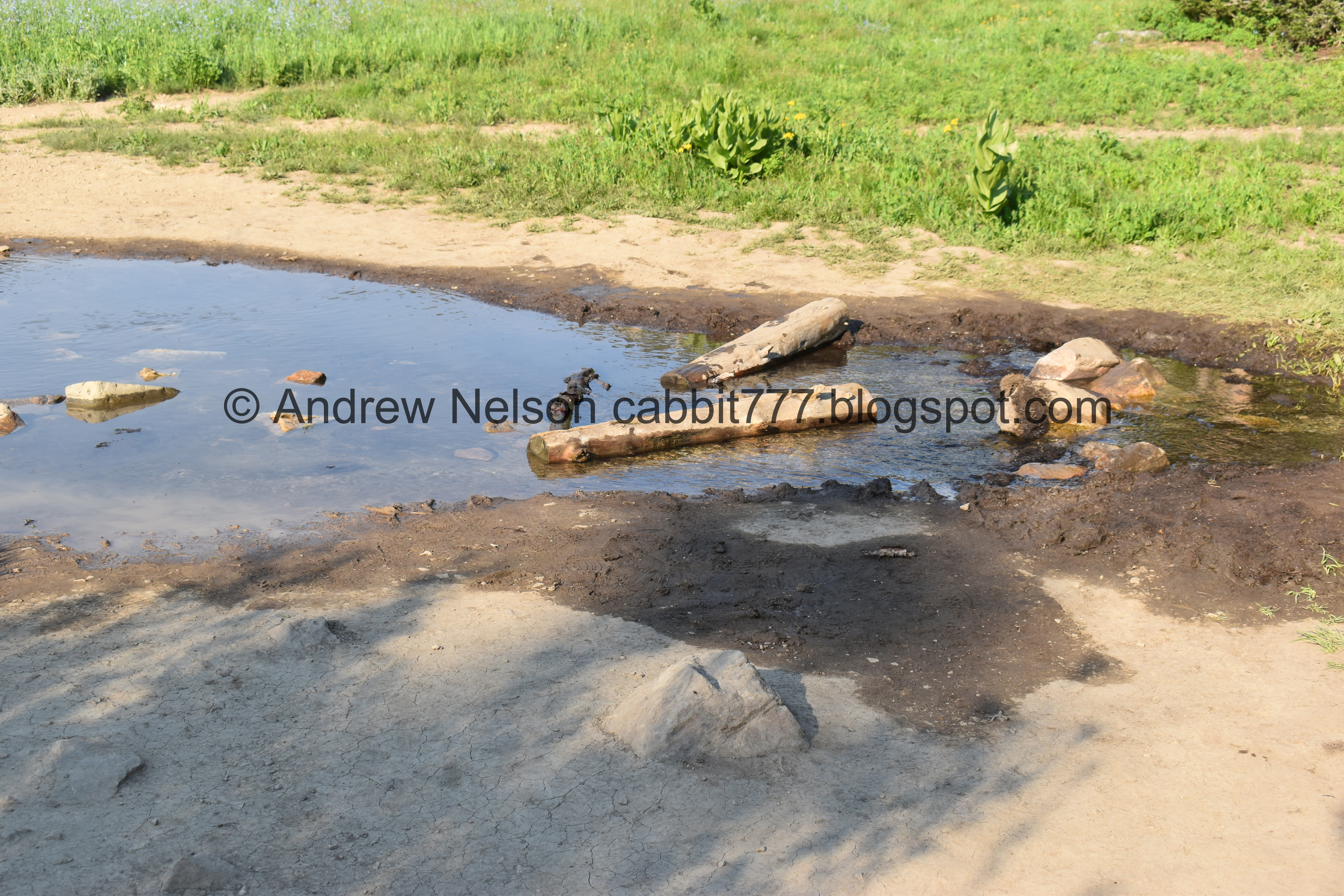
Little Cottonwood Creek. Cecret Lake, and various springs make up it’s headwaters.

Loads of columbines.

Closer.

Paintbrush.

Ski lift.


More columbines.

I see these all the time, but am having trouble identifying it. I am leaning towards Jacobs ladder.

Bluebells lining this dry streambed.

Over 120 species of wildflowers bloom here every summer.

The trail becomes a cabin access road, which has has a layer of loose gravel, which is not the most fun to walk over.

Sugarloaf Peak.

Devils Castle.

As glaciers receded huge boulders came crashing down in the Albion Basin. Which explains all the huge boulders. Below ground water, as snow melt seeps into the ground and comes back out in areas it can no longer penetrate as seeps and springs. It appears that seeps differ from springs as they are cliffside.

Devils Castle again.

I don’t often see this particular stream running.

With Devils Castle.

Running across the gravel road.

Devils Castle again. I just love this peak.

More columbines.

I found this stunning purple columbine! Wow!
I had to awkwardly balance on a boulder to get in closer. But I did not trample anything to see it.

Pretty paintbrush.

One of the many massive boulders that, as the sign said, came crashing down as glaciers receded.

With some plants growing out of it.

Sugarloaf peak above a bunch of forget me nots.

I’m not sure how much of that is clouds vs wildfire smoke.

Another little crossing.

There is a new bypass trail. I don’t know if the crossing is better enough to have the bypass trail, but it’s there.

Split in the road. You want to go left.

Devils Castle again.


Paintbrushes.

Lovely mix of color.

Devils Castle again.

At 9500 feet winters are long and summers are short. To get a jump on the grow season wildflowers generate a little heat and make a pocket in the snow. Different colors attract different pollinators.

Another crossing.

Pretty forest.

Another creek. This and the previous 2 crossings are generally constant. Some of the others dry up before long.


Glacier scrapes.

Devils Castle again.

Now the real climb begins.

Pretty purple penstemon.

Some blue ones. I am not 100% sure, but I think the former is just the younger version of the later.

Forest and Devils Castle.

No idea what these are, but they’re cute.

Chickweed, I think.

Approaching the switchbacks.

The Albion Basin provides 15% of our drinking water.
.jpg)
Mount Wolverine, Mount Tuscarora, Catherine Pass, Point Supreme, East Castle, Devils Castle, Sugarloaf Peak. I don’t think I caught Patsy Marley on the left.

Mine tailings.

Heading up the first of 3 switchbacks.

Mine.

For the last couple of years, there has been a slow moving rockslide along the side of the mountain.

Rock climbers.

Looking across the basin towards Catherine Pass.

The second switchback.

More pretty penstemon.

More of the rock slide.
Towards the top of the 2nd switchback, I get a little nervous, but I am able to make it through.

The 3rd and final switchback.

Mix of flowers.

Final push.

Again, no excuses for people who swim here. There is no way you missed the sign.

At first I thought the lake must be low because we are seeing rocks we hadn’t seen before. It took me a second to realize actually the lake is a little fuller than usual, and that is ice that has not melted yet! Even in this excessive heat wave, and exceptional drought, there is still ice and snow way up here.

The new (as of 2018) dam and outflow.

Panoramic view.

Chipmunk!

He’s a fatty.

The outflow.

Pair of small falls below the dam.
The lake with Sugarloaf Peak.

The water is murkier than normal, which I assume was due to the active melting. So, we were not having much luck seeing salamanders. That or my other thought was maybe it was a bit too early for them. But, we did eventually see some so that was wrong.

Another panoramic.

Pretty flowers.

The lake with Devils Castle.

Some nice reflection.

The leftover ice at the back of the lake.
Generally we like to walk around the lake, but neither of us was up for it today. So we just found a spot to chill for a minute.


Flowers growing out of rocks.

The lake and Devils Castle again.

Panoramic.

Sugarloaf Peak.

Another panoramic.

Murkier water.


Faint shapes of salamanders. Okay, so they are out and about, it’s just really hard to see them right now.

Sugarloaf Peak again.
Alright, we had our fun, but it was time we started back.

Rock climbers again.

Looking across the basin towards Catherine Pass.

Penstemon and some white flowers.

The 2nd switchback.

The lower switchback.

Another fun mix of color.

On top of the tailings pile.

The mine again.

Catherine Pass.

Devils Castle.

Glacier scrapes.

Upper stream crossing.

Pretty forest.
The middle stream.

The lower stream.

Alternate trail crossing. As I mentioned, it’s not much better.

The family ahead of us were uhm. Very annoying. So we decided to take the alternate path down.
Parents, just an FYI, I get you are used to your kids annoying personalities, but if you cannot control them out in the wilderness, you are complete assholes for ruining the experience for other trail users. And perhaps you should reconsider your weekend activities.

More giant boulders.

More paintbrush.

More pretty forest.

More snow.

Reconnecting to the main alternate route.


Pretty flower lined stream.

Little swampy area. We have seen moose here before, and were hoping to see one today, but no luck.

A couple of shooting stars. Gorgeous.

Whoa! There is a whole mess of them. I don’t think I have ever seen so many in one spot before.

Split rock.
There used to be a trail to the right of this that connected to the lower parking lot, but it looks like they have closed it and are trying to restore vegetation. But the work around isn’t much longer.

Little spring.

Some shooting stars and a white bog orchid.

Second pool.

Devils Castle and Sugarloaf Peak.


Columbine.

Pot gut squirrel. I know they are common, but I think they are cute.

Caught him getting his munch on.

I love when they prairie dog.

I think this is some sort of balsamroot.

Heading down the summer road (PSP).

View down canyon (PSP).

Patch of snow (PSP).

Back on the main Little Cottonwood Road (PSP).

One of my absolute favorite view along the Wasatch Front, through a dirty windshield (PSP). I really hope it is not destroyed by the proposed gondola.
 |
The Jacob City fire is still burning (PSP).
I really do like this trail, but was strongly reminded today why it should only be done on weekdays or obscure holidays. It is a very popular trail, and well, people suck. So it is far more enjoyable on days that are not as busy. However it is super pretty, and worth exploring ether way. 9 out of 10 squirrels, losing 1 due to general jerks on the trail.
As for difficulty, there is a bit of a climb, but overall it is not so bad. DR3.
Dogs are not allowed in Little Cottonwood Canyon. So be sure to leave Fido home for this.

No comments:
Post a Comment