.jpg)
This section of The Jordan River Parkway is pretty good. It follows some golf courses for much of the way. Then after a short section in a neighborhood, it switches to some farm land, and then eventually wild again. I just wanted to get an extra walk in over the holiday weekend, so I came here.

Quick Details:
Length: About 3.4 miles out and back.
Trail Type: Out and back, connecter.
Difficulty: DR2. It is paved, and generally flat.
Elevation Gain: About 20 feet.
Restroom: There are pit toilets at Shields Lane Park.
Dogs? Yes, leashed. Please clean up after your furry friends.
Other Info: Cities: West Jordan, Sandy, South Jordan. Mile Markers: 21 and 22
To Get Here:
Take i15 to the 90th south exit, head west for about 8/10ths of a mile and turn left into the River Oaks Driving Range. Park. This is honestly the only place to access the trail from 90th, and there are no signs barring you from parking here. However it is not an official trailhead, so I’m not saying you are good to park here, but I’ve done it 3 times now without any problems. If you are concerned about it, park at the other end on Shields Ln.
The Trail:

The start of the trail heads east for a minute to rejoin the Jordan River.

A momma quail (or dongle head, as my friend lovingly dubbed them, and I have picked that up) and a baby.

First bridge.

Down river.

Up river.

The river acts as a border between many cities. So now that we have crossed it, we are in Sandy.

Lots of shade through here. Which is much appreciated since its pretty warm today.
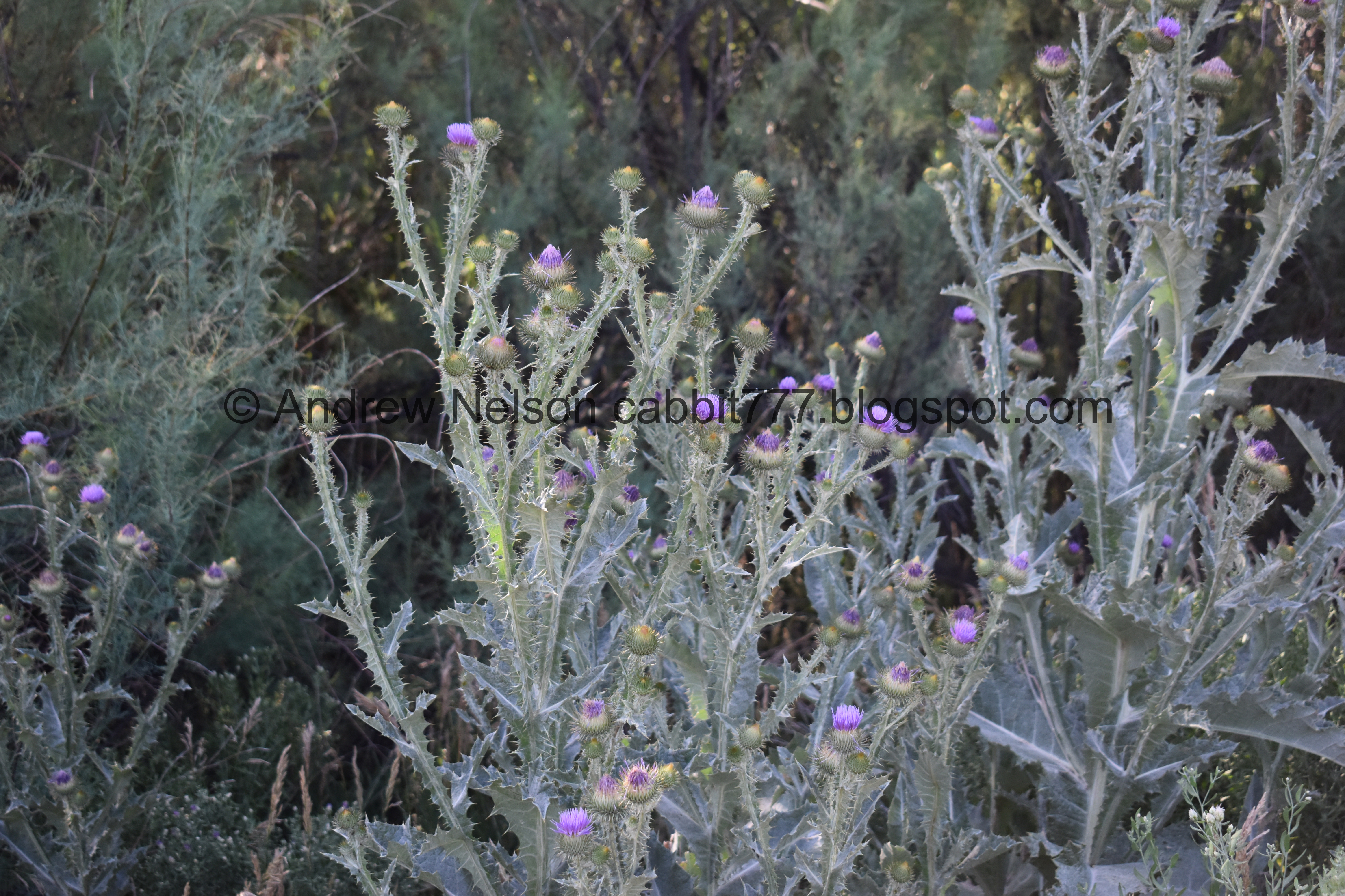
Some thistle.

Most of this section you can’t really see the river due to the plants around it.

The back of the driving range. I am not remotely interested in sportsball, but I love the little U and Y and (hidden in this shot) A stands they have. I assume they are targets? Again, I don’t sportsball.

Mile Marker 22.


There really isn’t much to it, which is why I missed it last time I did this section, but this is where Dry Creek confluence. Dry Creek is what off and on runs through Dimple Dell. I say off and on because it is diverted away multiple times.

Fun little animal silhouettes.
The river with the dry creek confluence.

Bridge #2.
Also, this marks a long unincorporated section. We have left Sandy, but not entered South Jordan yet

Upstream.

This really is the year of the cormorant! I saw this guy fly into the tree, which is weird because I did not think they were tree dwellers? They have webbed feet! How does that even work?

I wish I had better lighting. And I wish I had brought my telephoto lens.

Then I noticed the second one.

And four more! Holy crap this tree is lousy with cormorants. And how the hell did I not notice them before?

I count a total of 6 cormorants hanging out in this tree. Apparently, they do hang out in trees. I just had never seen it before now. I typically do higher elevation this time of year, to get away from the heat, obviously I have missed so much by doing so.

Cormorants are fascinating birds. They are like if you somehow mixed a pelican with a kingfisher.
I did some reading on them, and apparently they nest on the ground, or in trees. Huh. Interesting.

3rd Bridge. This one crosses the North Jordan Canal.

The canal was excavated in 1850 to supply water to turn a 15 foot water wheel at Gardner Mill (which I assume was at Gardner Village) until 1970.
Then the canal was purchased by the North Jordan Canal Company who expanded the canal to provide irrigation for agriculture.

Said canal.

The canals control gates.

Entering South Jordan.

The Jordan River control gates.

Kayak diversion around the dam. This is new. I noticed on google maps they have built an entire system for kayakers, to divert around the dams. That is awesome.
The signs says ‘put-in 700 ft <--‘. Like I said they have built an entire workaround for the dams. We’ve noticed them putting these in in several areas. Possibly along the entire thing. Looks like the county is doing it.

Riverbend.

Not the best shot, but the warning sign for kayakers that there is a dam ahead, move right for portage. I am guessing this might have been the original portage.


South Jordan has it’s own little exercise system along the trail, with quarter mile markers. Here is where it starts heading south, or ends at 3 miles heading north.

On the southern end of the section you get more views of the river. Plus, duckies!

The trail again.

Another quail and baby.

Some other fledglings that were quick to hide in the tall grasses. I got a better look at them on the return trip.

Pretty sure this is a red winged blackbird.

See, every quarter mile. If I remember right, this was a boy scout project.

View of the mountains.

The river again.

I love this octagon house up on the hill.

Mile Marker 21.

Tunnel under Shields Ln.

Again.

The river again.

Another one of those new ramps.

I turned back here at Shields Lane Park.
I closed another small ~50 ft. gap that I skipped last time due to the way I separated this and the next section. I had turned around at the end of the tunnel. Nobody cares about that but me. I feel like I can still say I have done the whole thing, even with a few tiny gaps like this. But, if I can I will close them. I even have plans to redo a section that had a detour eventually haha, I am a crackhead.

Back through the tunnel.

Back to mile marker 21.

Pretty through here.

I love seeing all the bird houses along the trail.

So not the best lighting, but I believe I stumbled upon a chukar family based on shape and behavior. The number of babies is actually a helpful identifier as well.

They sure are quick little buggers.

Starting to dip into the underbrush.

Such cute little skittish birds.

The river again.

River bend.

Panoramic.

The ramp again.

The control dams for the Jordan River. Now we will be following the North Jordan Canal for a bit.

Unincorporated section.

The North Jordan Canal control dam.

Oh, they have put one of those area usage study thingies in. This just counts how many people walk by so they know how much usage the area gets.

Crossing over the North Jordan Canal again.

The canal again.

I count 8 cormorants in the tree now.

Such cool birds.

Make that 9.


Closer again.

Here comes number 10, with a lot of commotion from the others.

6 of the 10.

Bridge back over the Jordan River.

The Dry Creek convergence.

Upstream.

It’s a bit too far away to tell for sure, but this is likely a great blue heron. Might be a sandhill crane too, or well, possibly another cormorant.

Downstream.

Re-entering Sandy.

Mile marker 22 again.

Overgrown river.

None of the cities own any part of the river, and well, it appears about 5 feet of bank on either side. In fact the river acts as the border to many of the cities it crosses by. So, we have another short unincorporated area.

Crossing over the river again.

Downstream.

Upstream.

Re-entering West Jordan.

Thistle.
I enjoy this section of the trail, and I enjoyed my bird sightings today, particularly a tree full of cormorants. I have never seen that before. The only drawback today was smelling every bodies 4th of July barbecues. It uh, made me change our dinner plans. 8 out of 10 squirrels.
As for difficulty, it is paved, and flat. DR2.
Dogs are allowed, but must remain leashed. Please clean up after your furry friends.

No comments:
Post a Comment