.jpg)
Donut Falls (AKA Doughnut Falls) is a rather unique waterfall located in Big Cottonwood Canyon. It is called Donut Falls because the waterfall literally falls through a hole in the rock into a little cave below it. The trail features a lovely mixed forest, wildflowers, wildlife, a creek, and of course the amazing waterfall. From the upper trailhead is is only about 3/4 of a mile, but it is a small lot that fills up quickly so we did it from the lower lot which add about 9/10ths of a mile each way. We both enjoy this trail and tend do do it at least once a year. The bridge is still out, so the main upper trail is still detoured to an old service road. However it is still lovely.

Quick Details:
Length: About 3.3 miles out and back, plus whatever exploring you do.
Trail Type: Out and back.
Difficulty: DR3. It’s a bit of a climb, but not too bad.
Elevation Gain: About 630 feet.
Restroom: Yes, vault toilets at the upper TH, flush toilets and porta-pottys at the lower.
Dogs? No. Big Cottonwood Canyon is watershed.
Other Info: This will soon be a fee area, coming in December 2024. Part of the reason I wanted to do it again today.
To Get Here:
Drive approximately 9 miles up Big Cottonwood Canyon to Mill D South, which will be on the right side of the road. Find parking and start your hike. the trailhead is on the east end of the parking lot, next to the restrooms.
If you want to try to shorten the hike and park at the upper trailhead continue up Cardiff Fork Road (previously Mill D South Road), it will eventually turn to a dirt road. Park at the end, but again, pay attention to signage! Honestly I would rather hike an extra 9/10th of a mile than get a ticket for parking outside of approved areas. The rangers ticket often. Trust me on this one.

Heading up Big Cottonwood Canyon (Passenger Seat Photography (PSP)).


The canyon was a little busier today than normal for this time of year (PSP). We concluded that a lot of people realized that summer is slipping away.

Beaver pond (PSP).
The Trail:

Mill D South between Reed and Benson Ridge and Kessler Peak.

Reynold Gulch across the canyon which leads to Mill D North.

Starting the trail. This is actually pretty new as of 2023. Before then you had to walk up the road. It is a little longer than the road, but much prettier.

The Cardiff Meadows with Big Cottonwood Creek running through it.

The new bridge over Big Cottonwood Creek.

Mileage sign. They undershot it. Its a bit it’s closer to 1.65.

Downstream. There used to be a large beaver dam and lodge down there, but the construction of this bridge seems to have scared them off. :(

Upstream.

The bridge again.

It looks like the entire U of U cheer squad came up here to take some photos. More on that later.

The new boardwalk is nice.

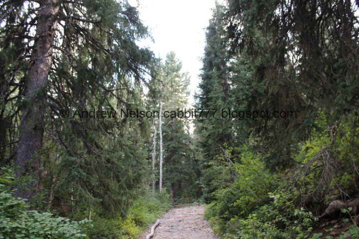
Into the forest!

Where the rerouted trail connects to the road. This section was completed before the Cardiff Meadows section below.

Tall twin trees that the trail goes through.

Then the trail crosses the road leading towards the Jordan Pines Campground.

Which you can see below. We camped with some friends in this particular site and were a little alarmed at the people hiking so close by in the morning, but meh, you get used to it.

There are still some wildflowers to enjoy along the way.

Forest.

Some leaves getting an early jump on autumn. I don’t know why, but this kind of fascinates me.

Some kind of aster.

Forest.

More early changers.

An official trail split down to the Jordan Pines Campground.

The first of the lower switchbacks.

More yellow flowers.

Some sad fireweeds.

The 2nd lower switchback. As far as switchbacks go, these are not bad at all! This is probably the worst one and it's not bad.

More asters of some sort.

Forest.

We saw a few of these random burn scars. not big enough to appear like a forest fire. We had 2 theories, 1: random burning to control random tinder, 2: maybe some an attempt to eradicate a noxious invasive weed? Well, we eventually got our answer a little bit later. Our first theory was closest.

Reed and Benson Ridge.

Kessler Peak.

Unofficial (not signed) trail down to the Jordan Pines Campground (directly to the back of the Pine Grove Overnight Site). We hiked up to the falls from here several years ago while camped in the site this connects to.

The old trail we used. Now that the new trail has been established I would think we would use that instead, if we came up this way again anyway.

An early changing geranium leaf.

More early changers.

The trail split towards the Spruces Campground (looking back towards it). We’ve only been there once, but I was unable to find where it connects down there. I plan to return there again this fall, so maybe I will find it this time.

Another burn scar.

Oh, there is a short spot that you can see some of the private cabins. But otherwise the reroute did a good job of obscuring them from view.

Another burn scar.


Forest.

Kessler Peak.

The first of the middle switchbacks, or 3rd switchback so far.

More aster.

A little geranium.

The 2nd middle switchback (or #4).

More early changers.

Then we can start to see the overflow parking for the upper trailhead. I'm going to guess at least a few of these cars are not in compliance with the parking rules. There are always a few.

Now the random burn scars make sense! These are slash piles! Basically the forest service gathers tinder, or other detritus that could contribute to a major forest fire and put them in piles like this to burn when conditions are right for it, while monitoring them so they do not spread. I should have known this, we have seen them here before, in fact now that I am thinking about it, the ones we saw here before coincide with the new burn scars haha. We have also seen them along the Mirror Lake Highway.

Lots of slash piles. Oh my.

Forest.

Mossy hole. o.O


More slash piles.

Forest.

We made it to the upper trailhead. Phew!

As I mentioned, it is closer to 9/10ths of a mile than 8.

The main trail up is still closed due to the bridge being out. It’s been a little while now, they just built the boardwalk down at the Cardiff Meadows, how have they not replaced the bridge yet? Seriously? Again, the amount of people ignoring the detour signs boggles my mind. but, then again, as I was mentioning this to friends, they admitted they did as well, and apparently, there is a suitable log bridge to cross. Foot in mouth at the moment, but still, when there is a good detour, just use it.

Detour sign. So I guess this would technically be the first upper switchback (5th).

Back through the upper parking lot.

Up along the dirt road.

The creek. Not as fanned out as it was last time.

Through the gate. You are allowed to walk back here, you just cant drive through here.

The last upper switchback.
Now we just climb through the forest along the old dirt road.


Pretty flowers.


Pretty forest.

More flowers.

Little waterfall on the creek below.

More early changers.

The creek.

Before long the gully becomes more narrow, and you are more level with the creek.

The gully again.

Hillside full of wildflowers.

The gully.


Super pretty through here.

The creek.

We found a small patch of monkshood.

Pretty hillside.

The gully again.

The creek.

The gully.

Pretty purple flowers.

Another small waterfall.

More forest.

Water damage on the trail.

Another little waterfall.

Looking back down.

The creek has eroded away at the road a little bit. It looks like they have added some rocks so they can continue using the old road (there are a couple private plots up here).

Continuing up.

Tree roots.

The creek.

Trail split. You want to stay left here. There used to be a sign for the detour here, but its gone now.

Where the main trail connects from the left. You want to go forward. This one is kind of signed, but the sign is oriented towards the main trail, so you might miss it. Oh, also this means you are almost there.

Looking down the main trail. As you can see the bridge is definitely out! I have heard there is a temporary log bridge right now, but I didn’t go and confirm that myself. I’ll just keep using the detour until the bridge is replaced.
I don’t understand why it has not been replaced yet honestly. They just spent all that time building the bridge and boardwalk across Cardiff Meadows, replacing the small bridge up here shouldn’t be much more.
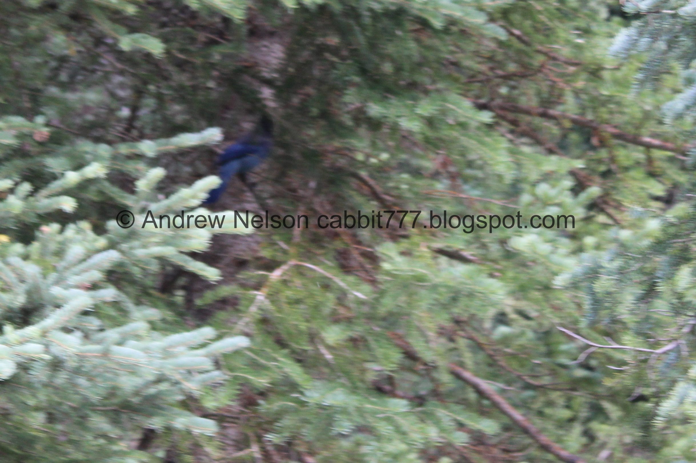
Not a good shot at all, but we saw a Steller's Jay. One of my favorite birds. I don’t see them very often, so it’s a nice treat.

Geranium.

Starting to hit some aspens.

Another split. You want to go left. This one is also signed.

Aspens to the left, conifers to the right…. here I am, stuck in the forest with you. Haha, sorry it just popped in my brain, so you get to hear it too.

Fun twisted tree.

Kessler Peak.

Avalanche chute on Reed and Benson Ridge.

I’m not sure if these ferns are dusty from the trail, or if that’s just how they are. I guessing the latter since surrounding plants aren’t dusty.

The boulder you have to scramble over to get down into the narrow gully for the falls. It’s not too bad, and someone has secured a rope to help you along.

Entering the narrow gully. It is a very popular trail!

Some kind of mint.

Before long we can see the waterfall. It really is something else!

Very busy trail.

You can see all the people scrambling up and down the falls.

The waterfall again.

Chipmunk!

With the water level a little lower than last time we felt okay getting a little bit closer.

Lots of boulders.

A little closer to the doughnut. This really shows how the waterfall got it's name. The water drops down through this doughnut hole into a little cave before continuing down.

I would have rather had a shot of this sign without the dude in it, but he did not budge the entire time we were up here. o.O. Anyway, I think it is kind of funny most people completely ignore it. It’s only been up for the last few years, and honestly, I think it is just the forest services way of covering their butt's and prevent being sued. Donut Falls is best experienced by scrambling up to the cave, but it is very dangerous. Quite a few people have died here.

Showing all the people beyond the sign.

The waterfall again.

Closer to the doughnut.
.jpg)
Digital crop.

I considered climbing up to the cave again, since the water level was low enough that I was a little more comfortable with it, but I donno. I might be getting too old for it and decided against it today. Maybe we will come back on a weekday and I might consider it again when it is a little less busy. It really is pretty spectacular.

Lots of people scrambling on the rocks.
_clean.jpeg.jpg)
Digital crop of the doughnut again.

Portrait mode.

The waterfall again.
Again. We hung around for a but while I decided weather or not I wanted to join the crowd climbing it. Yeah, still a nope today. I am glad I have done it before though.

Portrait mode again.
Alright. We definitely decided we weren’t going to climb up, so it was time to head on back.

Crossing the creek.

Looking down the narrow gully.

Chipmunk!

Plants growing on the cliffs.

Landis spotted this happy looking fireweed. One of my favorite wildflowers.

View down again.

The creek.

View down again.

Cliff wall.

Less happy fireweeds.

Looking back up the gully, with Donut Falls at the end.

Closer.

I love these fun trees growing out of the side of the cliff.

Mint.

The creek.

The boulder scramble to get back out of the gully. Like I mentioned, someone has added some pretty sturdy ropes to help you, and it is a pretty easy scramble.

Continuing down.

Reed and Benson Ridge.

Early changing geranium leaf.

Looking up.

Western coneflower.

Flowers.

Pretty forest.

Geranium.

Rocks worn smooth by all the hikers.

More flowers.

Back to the lower gully and the creek damaged trail.

Tall bent tree.

The gully again.

Little waterfall.

It sure is pretty through here.

Geranium.

Another small waterfall.

More flowers.

A spring heading down the trail.

The gully again.

Again.

I think it is neat when a downed tree pulls up a boulder with it.

Looking back up the gully.

More trail damage. The previous 2 epic winters really did a number on things.

Forest.

The creek.

More early changers.

More forest.

When this tree goes, it is definitely bringing that boulder up with it.

More early changers.

The creek again.
.jpg)
Panoramic.

Back to the upper trailhead. Phew, just 9/10ths of a mile to go.

The main trail heading up again.

Heading down the trail. You want to hang right here.

Back into the forest.

Looking up.

Solitary aspen.

Mixed forest.

Back to the slash piles.

More forest.

Random berries that I’m sure taste like burning. In other words, probably poisonous.

View across the canyon.

Lots of slash piles.

View down again.


More early changers.

A tree being processed to go into a slash pile.

Burned slash piles.

The turn off for Spruces Campground. You want to stay left, unless you are camped there.

Kessler Peak.

Mill D North across the canyon.

More forest.

Flowers.

The split of for Jordan Pines Campground.

Weird little yellow flowers.

Forest.

Crossing the road that leads to Jordan Pines.

Forest,

Flowers.

The U of U cheer squad is up here taking photos. Don’t see that every day haha.

More early changers.

Down to the boardwalk across Cardiff Meadows.

Geraniums.

View down.

The boardwalk has some nice seating areas to relax on and enjoy the view.

Continuing along.

The bridge.

Big Cottonwood Creek. Upstream.

Downstream.

More early changers.

Back to the trailhead, with the flush toilets.

Notice of fee change coming December 1st. This makes me sad.

Flowers.

Looking back at the meadow.

The cheer squad doing some additional pictures.

Mill D South again.

Swoop was nice enough to pose for a picture for me. I’m not a sports fan, like in the slightest, but the mascots are fun.

Mill D South again.


Heading back down the canyon (PSP).

The sunflowers are starting to line the canyon roads (PSP). I generally associate this with the end of summer, but they seem to have come a bit early this year. Maybe since it was so hot and dry.

Nearing the mouth of the canyon (PSP).

Antelope Island across the valley (PSP). It’s a little hazy today, but not terrible.
Even with the detour route, I quite enjoy the trail. Whether I do the short route from the upper trailhead, or the longer route from the lower trailhead like we did today. It’s just a nice walk through pretty forests, with a unique waterfall to enjoy at the end. It was busy today, but it is always pretty busy in the summer. Going with 9 out of 10 squirrels today. Losing 1 for crowds.
As for difficulty, it trail up is pretty easy going, DR3. If you decide to scramble up to the cave, then I would bump it up to a DR5.
Dogs are not allowed in Big Cottonwood Canyon. Be sure to leave Fido home for this one.
