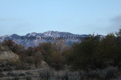
Dimple Dell is a large 630 acre park in Sandy that offers more than 15 miles of trails to explore. The west end, from the Porter Rockwell Trailhead features nice views of the mountains, some nice forest, and a creek, which is dry this late in the season. We got a super late start today so I just wanted to get in some nature without driving too far, and well, Dimple Dell tends to be my go to for days like that.
Quick Details:
Length: The whole route to the Wrangler Trailhead is about 4 miles out and back. We did about 3 out and back.
Trail Type: Out and back, connector.
Difficulty: Super easy, mild climbs. DR3.
Elevation Gain: We did about 200 feet today.
Restroom: No. But there is one at the Wrangler Trailhead.
Dogs? Yes, they should remain leashed at all times.
Other Info:
To Get Here:
Take 90th south or 106th south to State Street. Turn east on Sego Lily Dr. Head east to 300 East. Go right and follow it to the end of the road. There is a parking lot next to Sandy Dog Park that shares use with the trailhead.
What the heehaw? They changed it. There is a circle now, instead of the flat dead end. Looks like you aren’t allowed to park anywhere in the circle.
Also you can access the parking lot from both ends now, and I am pretty sure it is bigger. The trail is that cement pad to the right of the sign and gate.
This always fascinates me so I played around on Google earth.
Here is what it looks like now, with an expanded parking lot and circle.
From last year. Smaller parking lot with only one access point, and a dead end road.
For funsies, 2017, when the parking lot was still dirt, and the entrance was further south.
The Trail:
Heading down into the gully. It’s pretty mild, but keep in mind you have to come back up this at the end of your adventure.
We will be on the main Dimple Dell Trail for the entirety of our adventure today.
I was hoping there would be some color left to enjoy, but so far it is not looking particularly hopeful.
Dry Creek is well, dry right now. However, they have been working on making it flow more often in the past few years. I just think we are at the end of the season.
Mountains.
A particularly long bridge.
There are a lot of trail splits and side trails etc. Just keep following the wood chips.
Some muted colors.
Forest.
Thick forest.
More forest.
7th East above.
Heading underneath.
More forest.
The White City Trail Bridge. This is only a year or so old.
Underneath.
Mount Jordan.
More muted color.
Looking back at the White City Trail bridge.
Muted color.
Little cliff.
Little clearing.
A quick glance behind us revealed a lovely sunset.
The clearing and Mount Jordan.
More sunset.
I had decided that we would do 1.5 miles before turning around. However, hindsight being 20/20 I think next time I see the sunset it might be time to turn back.
Continuing along.
Mount Jordan.
Fallen oak leaves.
Pretty big trail split. I know that left goes back down to the creek towards a utility building of some sort. So, we went right.
Fading sunset.
The utility building below.
Mount Jordan.
Fading sunset.
The gully below.
The trail starts to climb a bit.
Snow??? I didn’t think we got anything this low, but I guess I was wrong.
Mount Jordan.
Well, we hit 1.5 miles, and decided it was probably time to start heading back. We were kind of pushing it with daylight at this point.
The gully below.
The clearing.
Little bit of color left from the sunset.
Forest.
Down to the White City Trail bridge.
Closer.
Back to 7th East.
Spooky trees.
Looking up.
More leftover color.
It’s a little spooky in here at night. O.o
Back to the trailhead. Phew!
The new circle.
Leftover color.
I enjoy this trail, and it was not very busy today, which is always nice. It is a good, crap I can’t think of anything else to do trail, and well, we use it that way fairly often. It wasn't too busy today which is always a plus. And we had a nice sunset to top it off. 8 out of 10 squirrels today.
As for difficulty, it is really a gentle climb. DR3.
Dogs are allowed, but should remain leashed at all times.
.jpg)


No comments:
Post a Comment