.jpg)
Another thing that makes this feature particular interesting, and what is responsible for it’s name is that is was tipped over and lays on it’s side, so it looks like huge piles of cut logs. This was formed about 30 million years ago on the edge of an ancient caldera. Faulting caused it to tip on it’s side. The trail, while a little difficult to get to is not too bad of a hike. It was, well, a little bit of a frustrating adventure to locate because it is not signed from the main HW, and is at the end of a 3.2 mile long dirt road, but we made it and are both still gushing over just how neat this trail was. Plus it was a perfect out of the way adventure to do on Memorial Day Weekend and to add onto our Eureka road trip.

Quick Details:
Length: About 8/10’s of a mile to the formation. We did about 2 miles out and back between exploring and checking out the lower viewpoint.
Trail Type: Out and back.
Difficulty: DR5. The first half mile, and lower viewpoint are easy peasy. The last bit is some steep thin switchbacks.
Elevation Gain: About 500 feet.
Restroom: No. Closest one is probably in Eureka about 18 miles northwest.
Dogs? Yes, however this is a steep trail system and might not be the best option for them.
Other Info: This is seriously in the middle of nowhere. Be sure to prepare accordingly.
To Get Here:
From the south end of Eureka (The elevator shaft you can see from main st.) it is almost exactly 14 miles on the left (east side) of HW6. It is between mile marker 126 and 125. If you hit the turn off for Little Sahara, you missed it, and this is a good place to turn around (do so on the east side). Otherwise you are forced to continue another ~20 miles to Lynndal like we did. If you have a cell signal in Eureka, I recommend turning on the google maps as the turn off is not signed form HW6.

Elevator Shaft at the south end of Eureka (Passenger Seat Photography (PSP)). Start watching the mileage here.

As I mentioned there is no sign on HW6. Once you turn off onto the little dirt road you will be greeted with this sign, so at least you will know you are on the right road (PSP).


The dirt road is thin, windy, and has a couple blind spots but otherwise it’s not so bad (PSP). Our little SUV did just fine on it.

Looking back down the road from the parking lot. There is room for at least 4 cars comfortably. But, if it is not a holiday weekend, you probably won't see another one.
The Trail:

That is what we are heading towards! Super excited! You can see it from the parking lot.

For a second I wasn’t sure if we should hike down the thin road, or the even thinner trail on the other side of the fence. However, I correctly decided that there is a reason the info sign is on the other side of the fence. That cattle guard though is quite thin!

Information signs.

Onto the adventure! The trail is a little thin here but it gets stronger.

Beautiful green rolling hills. I suspect our long winter, and particularly wet spring is probably a factor here. I suspect it is probably not this green for very long, or normally this late in the year.

Heading towards the formation.

Purple flowers.

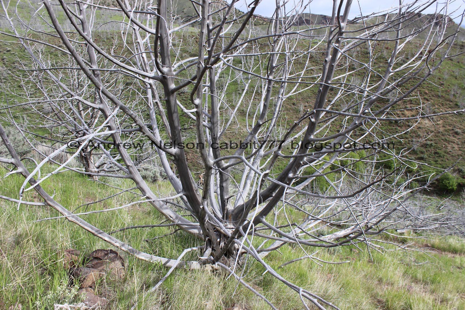
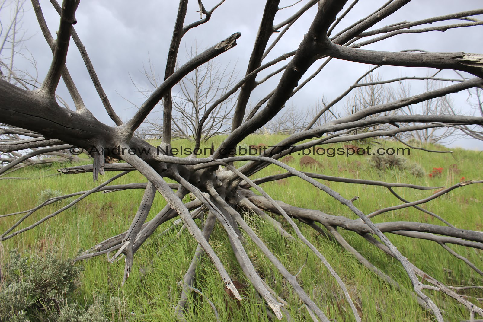
All of the trees here seem to be dead. I am guessing there was a fire at some point.

Tiny little stream.

Green hills.

Looking back.

Wow those are some bright scarlet red Indian paintbrushes!

I thought I saw an owl for a second but it’s just a weird pattern on this tree.

Getting closer.

Another neat rock formation.

Starting to hit some alive trees and look at that blanket of flowers!

Again.

Getting super close.

Short little trek through a little gully.

I am starting to understand why they called it a woodpile.

At the half mile mark you will arrive at the base of the hill, and the trail split. It is VERY faint. Right will go to the Overlook, left will go to the woodpile. If you don’t see it, just keep heading forward and you should hit the switchbacks.

Well now we just have this short little hill to climb up. It doesn’t look too bad.

It really does look like wood from down here.

Looking down the little gully.

The hills across the way.

The piles again.

Pink flowers.

Getting closer.

1 of the 2 slick and rough spots.

View down again.

Whoever created these switchbacks did a great job. For the most part they weren’t bad at all.

The view down is starting to be incredible.

Getting closer.

The trail again.


Getting really close to the formation.


Yep. Looks like a pile of wood.

This is the coolest thing ever, and we haven’t even reached the top yet.

View again.

The 2nd rougher spot.
The last set of switchbacks is a little more rough. I guess I just really wanted to see this feature cause I made it and other than needing to catch my breath a few times, I didn’t have too much of an issue.

Almost there.

The sign below said the can be anywhere between 3 and 6 sided. Most here seem to be 5, and then 4.

We made it to the top!! Ahhh!!! This is amazing!!!!

There is an additional sign here that has fallen down. It matches the sign at the trailhead.

This first fin is probably the tallest.

One of the smaller fins. This is the upper middle fin.

A little closer.

There is a bit of a drop off so be careful up here.

Here we are for size.

Looking at the first, taller fin.

In the middle.

Check out that view!

Be careful exploring. I noticed it starts to get very steep to the first of the formations, so, I made sure to keep my distance.

A miniature slot canyon unlike any other one! This is so neat! Of course it is nothing like a real slot canyon.

The furthest fin, that is exposed on both sides.

Looking back at the middle and north fin.

Texture.

You can see there are a couple more fins that aren’t fully exposed yet. Who knows. Another couple hundred years the original three might become scree and the new ones will be the exciting feature here.

The little slot canyon again.

I am just like a kid in a candy store here. So neat!

Love the plants popping out of little cracks.

Landis found the perfect little basalt throne.

The drop-off on the southern end. Yikes.

Cacti looking like they are about to bloom.
Looking back over the entire formation. The middle fin is split in the middle.

The first fin again.
Well, I was having an absolute blast exploring up here, but we still have a long drive ahead of us and it was time to head on down.

From the other side.

Down the thin thin trail.

The first fin again.

Closer.

Another bright red paintbrush.

There is a short, like 5 foot max little branch at one of the switchbacks that offers this view.

Amazing view. This is kind of a unique view. Beautiful green hills above an unspoiled desert.

Out into the desert.

I can see my car down there.

More flowers.

The trail.

Some smaller fins to the north. Kind of makes you wonder just how much more there might be hidden under the dirt.

Some more volcanic looking rock on the next ridge.

The pile again.

View down again.
This dead tree looks like a giant thistle.

Looking the other direction.

More stunning paintbrush.

Beautiful green valley.

Side gully.

We decided to walk around the base of the hill and try to locate the overlook trail.

Well that wasn’t too hard.
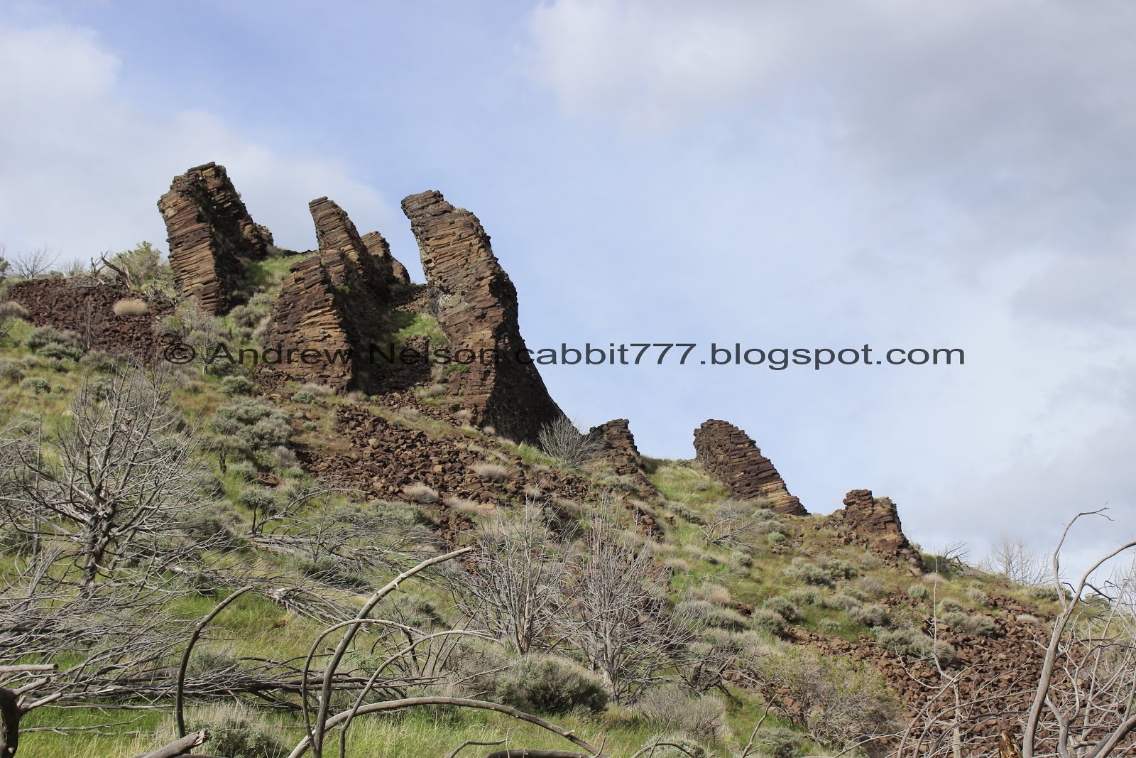
3 main fins and 3 smaller ones.

A little further south.

A columnar basalt scree field. That is unusual.

The trail just kind of fizzled out. I am sure you can keep going if you wanted, but meh, we still needed to get back.

The hill on the other side.

Flowers.

Heading back.

The hill and the woodpile.


The pretty purple flowers again. Again, I suspect this may be due to our unusually wet spring.

One last parting shot.


Going down the gully.

More of the purple flowers.

Pretty green gully.

Oh my. We may be leaving just in time.

Lower rock formation again.

Gully.

Green hills.

Dead trees.

Such a beautiful green oasis right now.

Another neat peak.
Dead tree.

Nearing the end of the pretty green valley.

More striking paintbrush.

Back down to the itty bitty stream, and another tree that looks like a thistle.

Looking back at the woodpile.

Back down to the TH and exiting the tiny cattle guard. It was seriously tight!
By the way, now that I am thinking about it, I am not sure if this is still land used for livestock. We never saw any. There were cow pies, but they did look fairly old, not that I know how long they hang around, but yea, just curious.

The dirt road back.

The woodpile and the signs.

One final look before we head down the dirt road.

Heading back down the dirt road (PSP). One steep blind spot.


Showing the dirt road some more (PSP).

Neat peaks (PSP).


The road again (PSP). See, not so bad.

We made it back to HW6 without issue (PSP). Yay.
This was a fantastic little side excursion, and we have been gushing about it since we got home. The woodpile is a fantastic example of columnar basalt and was really neat to explore it. It was totally worth the long adventure, and the confusion we experienced trying to locate it. Normally you would probably have the place to yourselves but with the holiday weekend we shared it with only 2 other groups. Again, this is why I seek these odd out of the way places on this weekend. It totally was not Disneyland, and it was great. 10 out of 10 squirrels.
As for difficulty, The first half mile, and the lower overlook are easy going. The last switchbacks get a little thin, steep and slippery, but not too bad. DR4.
Dogs are allowed. Please clean up after your furry friends.

No comments:
Post a Comment