.jpg)

Quick Details:
Length: 2.6 miles out and back.
Trail Type: Out and back with questionable loop options
Difficulty: DR2. Paved, mostly flat.
Elevation Gain: NA pretty flat
Restroom: Not at this trailhead. Gas station not too far though.
Dogs? Yes, leash required.
Other Info: Cities: Midvale. Mile Markers: 24. One of the few trailheads you can reach using Trax.
To Get Here:
From i15 take the 7200 S exit. Take the first left south towards 7800 S. Head west. You will see the TH on the left just before the overpass. If you pass Gardner Village, you went to far.
7800 S. and approximately 1000 W.
If using Trax, take the Red Line to Historic Gardner.
The Trail:

Oh. This has one of those Gold Medal Miles. I have seen a couple of these on various different trails. Off the top of my head I know there is one in East Mountain Wilderness Park

The route for the mile. Looks like it is following the route we did today.

Area rules.

There is a nice little picnic area right here at the beginning.


This first bridge connects to West Jordan and the Trax station here. I think it is also what you should do if you plan on heading north from here as it looks like the only way to get to the tunnel under 7800 S.

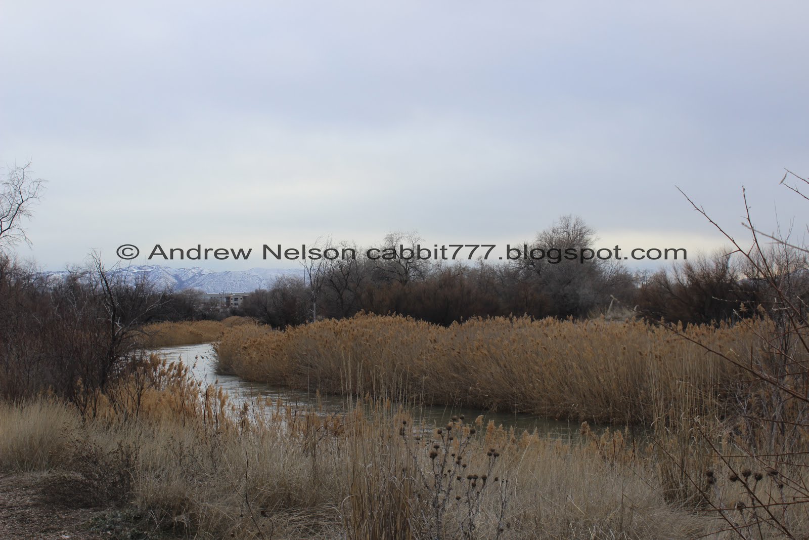
The Jordan River.

Nice paved trail. Unfortunately that hill blocks the view of the mountains.

For this section of the trail, the river is mostly blocked by the foliage.

There are these flat red rocks placed randomly along the trail. It took me a second to realize that they offer these instead of benches through here.

Little peek at the river.

Continuing along.

I thought that this would be a good trail to see some birds. This seems to confirm this might be a good option for that. However we didn’t have much luck today other than some robins and geese.

There was a short trail out to the river.
There was a news story saying that in anticipation of runoff, they are releasing water from Utah Lake, so the river will be a little higher than normal. They weren’t kidding! Your dogs should be on a leash through here anyway, but keep a tight hold of them.

Mile Marker 24. That would put it at a little past halfway. The mile markers start at the south end and continue north.

Half mile marker. Seemed about right with my pedometer app. Hard to tell for sure since I veered off the main path a little, but seemed close enough.


Just a smidge past the half mile is the 2nd junction. Right, will go across the Jordan River and continue along the Jordan River Parkway towards 90th S. Left is a JRP Connector trail that leads to 7th west in Midvale and goes towards Valence Pond. So, today we went left.

Bridge across the Jordan River.

More sage and other flora.

Starting to get a peek of the peaks to the east.

Mia is giving me the “it’s not much further, is it?” look. Mickey will walk/hike until he drops. Mia, definitely has a limit.

Another of the resting stone benches. Most of them had these little sign stands next to them, that I imagine might one day have some interpretive info? Or maybe came down for the winter? I don’t know, but they were all blank.

As the trail curves to the east we start to get a good view of the mountains.

Little Cottonwood Canyon and Bell Canyon.

More mountains.

Big Cottonwood Canyon and Neffs Canyon.

Jordan River again.

We hit the mile mark!

River bend.

The other direction.

The river does really seem high.

First glimpse of Valence Pond.

Back to the river, with Mount Jordan.

Geese.

We noticed a bunch of these kitty condos in the area. Apparently there is a large amount of stray cats in here.
Another riverbend.

Valence Pond again. It’s pretty big, but there aren’t a lot of places to view it.

With the mountains.

More geese and ducks.


Looks like there was a fire through here.

One of the feral cats.

More kitty condos.

I noticed this thin, but very established trail so we decided to check it out.

The pond from the east side.
I considered following this this trail for a bit but first, I wasn’t sure if it went all the way around (looks like it might though). and 2nd, I wasn’t sure how long it was. So we decided to head back to the main trail. I might come back and check it out from the 700 W. end some time. However, I am not sure about the parking situation there.

Back to the main trail. I knew were near the end so we kept going.

The end at 700 W. Like I said, you can keep going, and loop back to the main Jordan River Trail off of 90th. This will make the trail about a 4 mile balloon, including about 1 mile along the side of 700 W, and 90th S. We decided to just go back the way we came.

Old factory.

Valence Pond again.

The river again.

Tree full of robins.

The river is super wide here.

Last view of Mount Jordan.

The trail is actually pretty nice through here.

Back to the junction. Now we will be on the main Jordan River Parkway.

Oh. The Rotary Club is branded on one of the red rocks. I assume that means they are responsible for them. You can see a lot of the things they have done on various trails throughout Utah, and even other states.

Another robin.

It’s hard to tell for sure, but I think this is where Bingham Creek joins the Jordan River.

Back to the first bridge.

Closer.

View of the river from it.

View of the picnic area.

View of the mountains near the trailhead.
This is a great section of the Jordan River Parkway. It’s wild, it’s quiet, and it doesn’t pass near any houses or anything. It also was not terribly crowded. It had some great views of the river and the mountains. I really thought I would at least see a hawk, and it seems like a good area for them, but I didn’t have any luck with that today. Other than that though, I actually enjoyed this trail. 7 out of 10 squirrels.
As for difficulty, it’s pretty flat, paved, and super easy. DR2.
Dogs are allowed, but must be leashed. Please clean up after your furry friends.

No comments:
Post a Comment