.jpg)

Quick Details:
Length: About a 4 mile balloon.
Trail Type: Balloon, out and back, or loop options.
Difficulty: Most of the trail is a mile DR3. The top section of the connector trail I am bumping to a DR5. It was really steep.
Elevation Gain: About 710 ft.
Restroom: Yes, pit toilet. I recommend not using it during this time though,
Dogs? Yes, leashed.
Other Info: If you are not familiar with the area, it is helpful to have a copy of the map available on your phone (outside link).
To Get Here:
From i15 take exit 289 for Bangerter Highway. Go about 5 miles and turn left on 13400 S. Go about 3 miles and turn left on 6400 W./Rose Canyon Rd. .6 miles later turn right to stay on Rose Canyon Rd. 1.4 miles later turn left to stay on Rose Canyon Rd. About 2 miles later will be the trailhead parking.
From there, take the fork to the left of the bridge to hike up.

Heading west on 13400 S. you get a good view of the Kennecott mine (Passenger Seat Photography (PSP)).
The Trail:

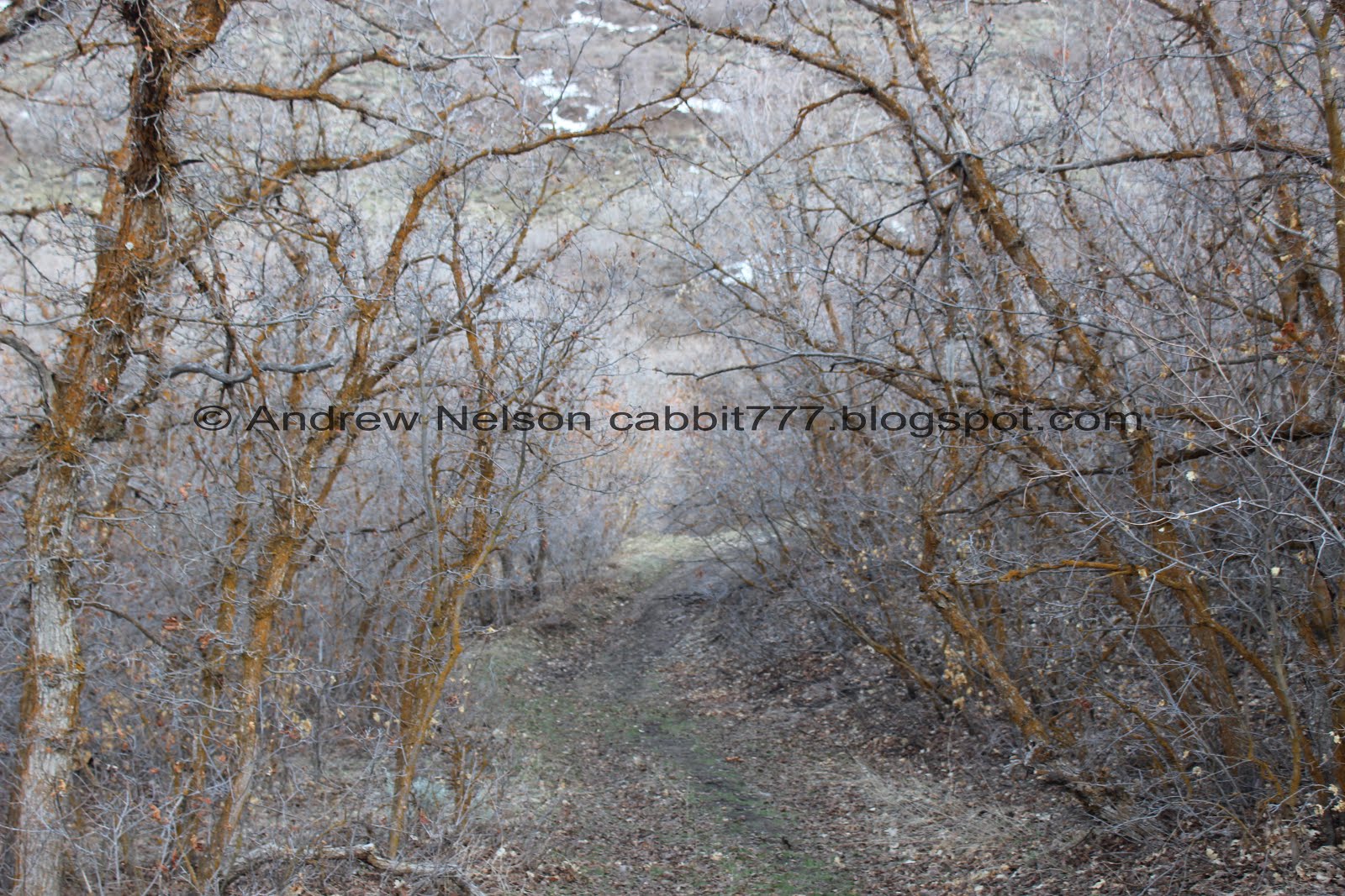
There are 2 dirt roads, Rose Canyon to the south, and Yellow Fork Canyon to the north. I think Yellow Fork is the more interesting hike of the 2, but so does everybody else. Lots of people coming and going from that one. We chose wisely and had the trail pretty much to ourselves.

Loving the clouds today.

Above the ridge between the canyons.

The creek below.

Making our way up.

The ridge to the south.

The ridge to the north.


I spotted a hawk of some sort, leaning towards red tailed. Not the best pictures.

I was just starting to think I didn’t get a single decent shot. Still not the best, but not terrible.

The creek.

A little spring.

There appear to be quite a few little springs up here.

The first little gate, with an old painted over no tress-passing sign.
As I discovered last time we did this trail, the county acknowledges some of the trail might pass through private property, and you assume all risk. I think so long as you stay on the designated trails, you will be okay. But, as the map says, you could be considered a trespasser so, use your own discretion.

Another spring.

Starting to hit some mud and snow. For the most part we were able to avoid the mud, sometimes by choosing to walk on the snow instead haha. But 1 or 2 short sections we didn’t have much of a choice. Nothing super awful though.

The creek again.

I couldn’t tell if this was a crow or a raven, but it seemed pretty big, so I think it was a raven. I didn’t bother to put the telephoto lens on for it so, yea, terrible picture.

I’m pretty sure there is more water coming down the trail than in the creek.

Where one of the Water Canyon Connector Trails lets out. It splits near the bottom.

Another big clearing with a bunch of springs. This is where the other trail connects to the Water Canyon Connector Trail.

It is starting to remind me of the Big Springs Trail.

What causes this? All we could figure is some kind of burrowing critter.

Lovely view of the canyon.

More snow.

The 2nd gate.

The ridge to the north.

The Rose Canyon Spring. This was the intended destination and well, I wasn’t particularly thrilled. Most of it seems to be behind the private property fence. I suppose I could have made my way up to the fence to see if there was a better view but meh.

Downstream.

Sometimes we like to play this game of ‘lets just see what is up a little further’. Sometimes it’s a quick game. Sometimes.. well not so much.

Old wagon.

Trail split. I took a quick look at the map and determined if we went right we could make a loop. Left appears to connect to a huge back mountain trail system.

Looking across canyon.

Looking into the canyon below. Some kind of structure down there.

Looking back towards the top of Rose Canyon.

This was a little bit more up than I was anticipating, but not too bad.

Nice view of the rock formation at the mouth of the canyon.

I like that little pyramid shaped peak.

Going around the bend into the (from what I can tell) un-named gully.

Amazing clouds above.
Starting to be able to see the mountains on the other side of the valley, and some of the valley as well.

The ridge on the south side of the canyon.

Little bit of snow and mud after we swung north, but not as bad as the trail below.


Looking at the ridge above again.

Looks like this trail will take us over to that saddle.

Or up to that saddle. Both will connect to the ridge, or Yellow Fork Loop Trail. Forward will take you into Yellow Fork Canyon. We took the shorter spur trail to the right.

Stunning blue bird. I want to say it is a scrub jay. But not 100% sure. Kind of wish I had put the telephoto lens in.

The peak above.

Mount Jordan and Box Elder Peak.

Starting to hit some a juniper forest.

.
Looking down the side gully.
I was going back and forth weather I wanted to take the Water Canyon Connector Trail down this gully, or continue down the ridge on the Yellow Fork Loop Trail. But after being buffeted by the wind we decided to go down this gully.

To do that, keep your eyes open towards the east end of the side canyon for this kind of faint, but still wide trail down, if you make it to the saddle, you went too far.

It’s uh, getting a little steep.

Cacti.

REALLY steep and rocky. Glad we didn’t try coming up this way! Oi.

Looking back up it. I think that shows the steepness a little better.

Red cacti. Not sure if this is just an immature plant, a specific species, or maybe even a defect but it's neat.

Last steep descent to the gully floor.

Once you reach the floor, the rest of the gully is pretty easy going and quite lovely.

I feel like there had to be a better, less steep way up to the top. But who knows.


Enjoying the mixed forest in the side gully.

We were wondering why the trees have orange colored trunks and my best theory is a fungus called rust, that I learned about on the Limber Pine Nature Trail. But, that is just a guess. I have no idea for sure.

Juniper covered hill.

Really enjoying this side gully.

Closer look at the orange coloration.
I didn’t take a picture, but near the bottom of the gully there is another trail split. I am pretty sure both trails get you back to the main trail, but the one to the right was stronger so we took that one.

Now we just have to figure out the best way across the creek. not so much a problem of a big creek, more an issue with all the mud around it.

The little creek.

Back to the main trail, and the weird little tunnels.
I have since learned this might be vole tunnels.

I kind of hope I am wrong with my rust theory, cause all the trees in this area seem to be affected.

Heading down the main Rose Canyon trail.

Yea, pretty sure there is more water going down the road than the creek bed.

Looks like we might be finishing up just in time! Those clouds are getting a little dark.

Down to the lower spring area.

Found another one of those odd log structures I see on random trails.


Fun clouds.

Some duckies in the creek near the trail head.

The fun horn near the mouth of the canyon from the parking lot.

Twin Peaks and Lone Peak (PSP).
That was fun. Nice and quiet, not too many people. I enjoyed the wildlife we saw today too. I always see deer in the area. Saw one on the trail, and several near the mouth of the canyon, just didn’t catch any of them with the camera. The extra loop we added was my favorite part, even with the steep section. I just don’t think I would want to do it the other way. Haha. I think next time we come out this way I might try the ridge. 8 out of 10 squirrels.

As for difficulty, if you just go up to the spring and turn back its super easy going, DR3. If you add the connector trail then that steep section would bump it up to a DR5.
Dogs are allowed, leashed. Please remember to clean up after your furry friend.


I kind of hope I am wrong with my rust theory, cause all the trees in this area seem to be affected.

Heading down the main Rose Canyon trail.

Yea, pretty sure there is more water going down the road than the creek bed.

Looks like we might be finishing up just in time! Those clouds are getting a little dark.

Down to the lower spring area.

Found another one of those odd log structures I see on random trails.


Fun clouds.

Some duckies in the creek near the trail head.

The fun horn near the mouth of the canyon from the parking lot.

Twin Peaks and Lone Peak (PSP).
That was fun. Nice and quiet, not too many people. I enjoyed the wildlife we saw today too. I always see deer in the area. Saw one on the trail, and several near the mouth of the canyon, just didn’t catch any of them with the camera. The extra loop we added was my favorite part, even with the steep section. I just don’t think I would want to do it the other way. Haha. I think next time we come out this way I might try the ridge. 8 out of 10 squirrels.
As for difficulty, if you just go up to the spring and turn back its super easy going, DR3. If you add the connector trail then that steep section would bump it up to a DR5.
Dogs are allowed, leashed. Please remember to clean up after your furry friend.

No comments:
Post a Comment