.jpg)
Now that it is cooling down I thought it was time to continue my goal of walking along the entire Jordan River Parkway. I have done the south half, and am now working on the north half. This particular segment was quite lovely, well except for the part next to i215.
Quick Details:
Length: About 2.6 miles out and back.
Trail Type: Out and back.
Difficulty: DR2. Its paved and fairly flat.
Elevation Gain: About 19 feet.
Restroom: No. But if you keep going to Walden Park there is one there.
Dogs? Yes, leashed.
Other Info: Cities: West Jordan and Murray. JRP Mile Markers: 26
To Get Here:
Take i15 to 7200 S. and head west for approximately 1 mile. The trailhead will be on the left.
The Trail:

Nice little sitting area right at the trailhead.

Trailhead sign.
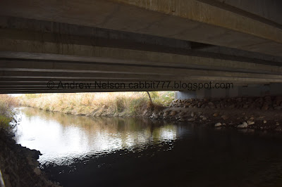
Heading under 7200 S.

The river.

A pretty tree.

I guess this is a storm water outfall according to a nearby sign.

Little clearing.

The foliage is so thick you can only see the river in a few parts.

Mountains above the tree line.

Fun clouds.

Mile Marker 26. It’s kind of crazy to think that I have walked 26 miles along this trail, obviously in short sections on different days, but still.

Just a few feet beyond mile 26 you hit the city of Murray.

Some warning signs for canoers.

The little tunnel under Winchester St.
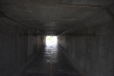
Inside.

I am guessing this is the hazard on the river they are warning about. It doesn't look so bad with the super low water level right now, but I am sure with a little higher water level it can be quite a hazard.

Some small rapids.

The river.

Fun little climbing rock. Looks like it is a bouldering playground.

Some color still hanging on.
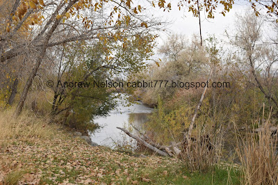
The river again.

There is a small loop you can do on the left, but the main trail is to the right.

A little wetland area. I didn’t know it at the time, but I guess there is a pond back behind the park.

I love that all of the cities have their own style of benches along the parkway.

This really is just a lovely section of trail.

Quail and some nice color.

Nice view of the river and mountains.

Little bit more color.

The river looking awfully shallow.

This sign confused me. It says Neighborhood Access Forward and JRT Connector right. Usually when they use connector it used like a neighborhood access. Anyway, go right across the bridge haha. I went a smidge forward before realizing it was wrong. I removed that from the mileage.

Said bridge.

Looks like we can thank the National Association of Industrial and Office Parks back in 1990.

Bridge.

Well. Murray’s twin city is Chia Yi, Taiwan. Roc.

It was about here I realized I had gone the wrong way.

The bridge again.

Crossing the river.

Its a little hard to read this weathered sign, but it seems Native Americans camped around here. Supposedly they would leave their sick children behind and the early settlers would adopt them (that part sounds a little fishy to me). Also something about the Native American boys and the white boys throwing fire sticks across the river at each other.

As you get closer to i215 you can definitely hear it. Oi.

Oh fun another Gold Medal Mile. I wonder where this one starts. These popped up on various trails around the 2002 Olympics. I have seen a couple along the Jordan River Parkway and up in Kaysville, and a couple other places.


Heading under i215.

The loop around Cottonwood Park. We’ve done that section with our friends before, so I decided it was a good turn around point.

The river again.

Back under i215.

The river.

Ooh. I found a tiny patch of red.

Heading back over the bridge.

The river.

Definitely super shallow right now.

Some more color.

River and mountains.

Some low hanging clouds.

More color.

Mountains.

The loop trail in Winchester Park. Since the trail I did was a little shorther than I expected, I decided to do the loop.

Fun clouds.

Pretty leaves.


More color.

The little wetland area again.

There are a couple of little fishing docks here in Winchester Park.

The river.
Duck.

Better view of the river hazard.

Another duck.

The fun clouds again.

Heading back under Winchester St. and into West Jordan.
There were some… hippies recording a song in the tunnel. It did sound nice though.

I guess West Jordan didn’t want to put up the money to put the city name on the official JRP Trail Marker.

Back to Mile Marker 26.

Mountains.

Panoramic.

Clouds again.

Mountains again.


More color.

Heading back under 7200 S.

Swallow nests.
All in all, I enjoyed this section of the trail. It was far enough from houses that it did not seem intrusive at all. The section along the golf course offered some nice views of the mountains and there were a couple nice views of the river. Going with 8 out of 10squirrels today.
As for difficulty, it was super easy, paved and mostly flat. DR2.
Dogs are allowed but should remain leashed.

No comments:
Post a Comment