.jpg)
This was an alright section along the Jordan River Parkway. Like the previous sections there is a pretty good greenbelt around the river so it still felt pretty wild even in the heart of the city. But there wasn’t anything particularly fascinating, and there are a lot of homeless camps though here too. Technically I could have stopped at Riverside Park on 800 N, as that is where I left off coming from the other direction, but there was a detour last time, so I added 2 blocks to re-do that part.
Which brings me to: This was the final section!!!! I successfully completed the trail! 45.3 miles, 90.6+ considering I did each section as an out and back. 2 counties, 15 cities, and some unincorporated space. I can now say I walked all the way across Salt Lake County and back!

Quick Details:
Length: The map put this section (to Riverside Park) at 1.7 miles, but it is closer to 1.9, so 3.8 out and back. If you add the extra 2 blocks we did today its about 4.4 out and back.
Trail Type: Connector, out and back, partial loop option.
Difficulty: DR2. Its paved, and super flat.
Elevation Gain: About 45 ft.
Restroom: Both Riverside Park and Cottonwood Park have one.
Dogs? Yes, leashed.
Other Info: Cities: Salt Lake City. JRP Mile Markers: 40 and 41. Also, this is one of the few trailheads that is Trax adjacent.
To Get Here:
Take i80 to the Redwood Rd. Exit and head north. Go about 4/10 of a mile and turn right on North Temple. Go about 6/10ths of a mile, and turn right into the Gadsby Trailhead.
The Trail:

Trailhead sign.

Geese.

First river crossing.

Upstream.

North Temple crossing. There is a dedicated light you can activate to cross safely. But it is still a bit on the scary side.

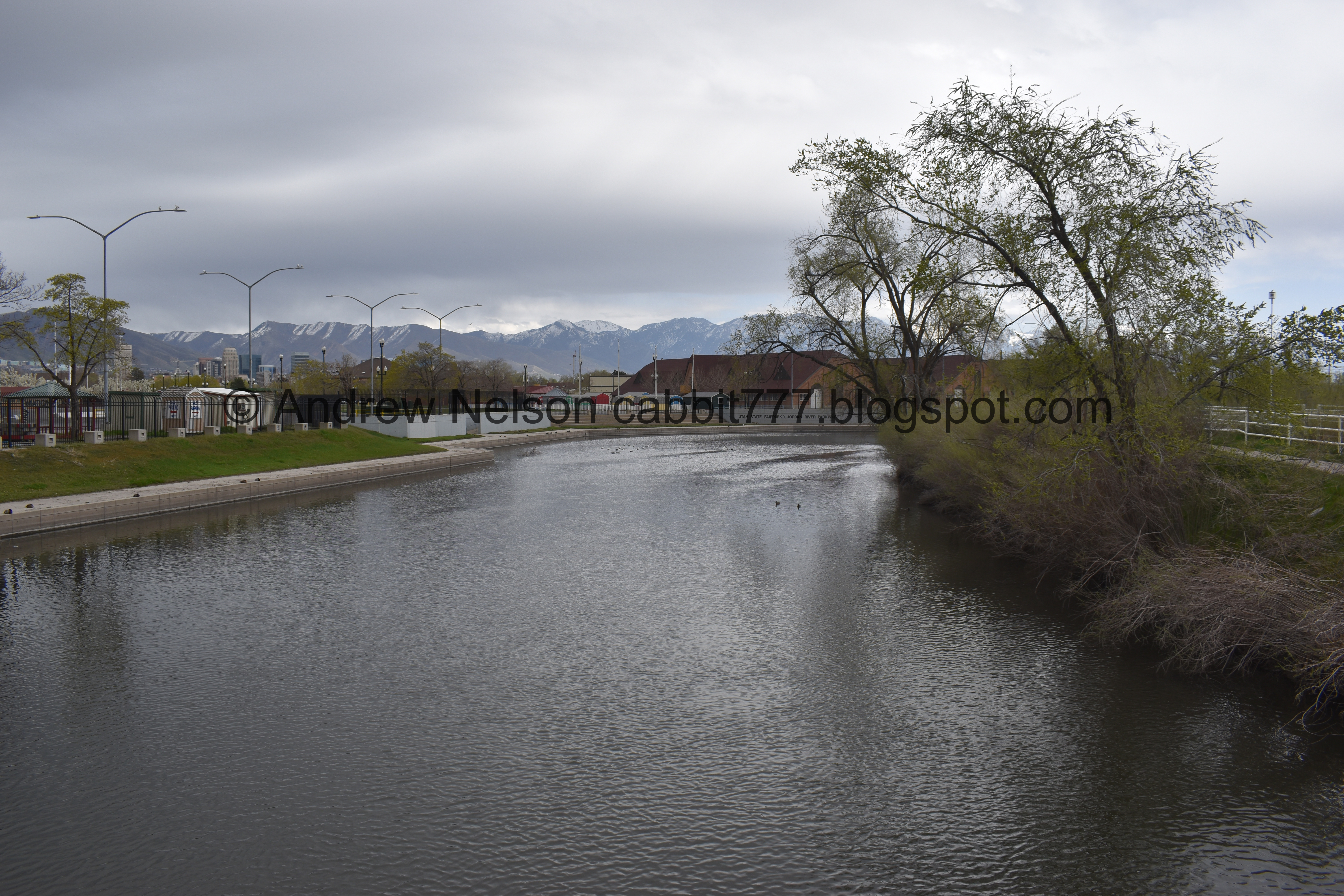
Passing by the Utah State Fairpark. Landis wondered what that structure to the left was, to me it looks like one of those big wavy slides that you ride down on a sack. Pretty sure I am right.

The State Fairpark again.


Bridge #2.

There is like a little bay/amphitheater next to the fairpark. I wonder what they use/used this for?

American coot.

Duckies.

Upstream.

Goose! I don’t feel confidant saying what kind of goose it might be.

The weird little bay/river amphitheater looking thing again.

You can see the State Capital from here.

Random golden tire art piece.

The main trail is on the right, but it looks like you can do a loop on the other side here. I thought about doing that on the return trip, but decided against it for some reason.

Bridge #3.

Downstream.
Upstream, looking back towards the river amphitheater.

Crossing through Constitution Park.

The river is largely obscured by the plants along its sides though here.

Another little memento to the 2002 Olympics.

This sign is repeated a few times along the trail in the Salt Lake City section. It talks about how they cannot restore the entire river system, they can restore pockets of it “like beads on a necklace”.

You can see Ensign Peak from here.

Pocket of trees greening up.

The river again.

More greenspace.


I love these purple flowers around this tree, but they uh, stink.
I learned they are a non native weed called crossflower, or purple mustard.


Weird tree.

Family tree. It’s weird I never really noticed one of these before our trip to The Redwoods, but now I see them everywhere.

Directional sign.

Another one of those Gold Medal Miles we see on various trails along the Wasatch Front.

Bridge to Cottonwood Park. We did not cross here at this time.

River again.

The Og-woi People’s Orchard & Garden.
Wow, I, of all people, failed to get pictures of the signs, but basically this is a community garden with the idea of if you are hungry, help yourself. I think that is pretty amazing.


Mile Marker 40.

More greenspace.

Off leash dog area that appears to have the simple title of: Dog Park.

Neat little art piece. I didn’t get close enough to this one, but it is similar enough to the one across the river that I am fairly confidant it is the same artists. More on that soon.

Bridge #4.

Downstream.

Upstream.

Subtle indicator to which way to go at this 4 way split.

The river again.

Another tribute to the 2002 Olympics.

Bobsleigh results.

More greenspace.

The river again.

Looking back towards the last bridge.

Edging along peoples properties. Meh. But still enjoying the trail.

Crossing 5th North. You can activate a signal here, but looking both ways worked for us.


Another monument to the 2002 Olympics. Figure skating results.


Bridge #5.

Downstream.

Upstream.

We debated about what kind of bird we were looking at here. I thought maybe a goose, Landis thought it’s legs were too long for that. so, with a digital crop job….

We were both wrong. It’s an American coot, standing on 1 leg in shallow water.

This section is a long homeless camp. I have only had 2 experience with them that made me slightly nervous on this trail, otherwise they leave you alone, or are even downright friendly. I don’t have any problem with them, and I mean, where else are they going to go? But yeah, there are definitely some that should be avoided.

Connector bridge.

It is nice a wooded through here.

Squirrel!

Crossing 7th North. This one also has a dedicated light to help you cross safely.

I noticed the button to activate the crossing has the SLC emblem on it.

Entering Riverside Park.

Thousands of years before the pioneers arrived, people lived along the Jordan River. The caught fish and hunted animals drawn by the life-giving water. They gathered the abundant wild edibles that grew along its banks.
in 1991 archeologists uncovered a 3000 year old artifact rich village in Draper.

We can see Ensign Peak and the Avenues Twin Peaks from here.

Here is about where I left of coming from the other direction. So technically I could have called the trail complete! However there was a short detour last time, So I decided to keep going and see what I missed. As well as see the new run off control facility they built.

Pretty and green.

Mile Marker 41.

Oh, what do we have here?

A cormorant, and holy crap it stayed put long enough for me to get the telephoto on a get a good shot of it. We’ve been seeing these guys lately, but I have not gotten a nice shot until now. These are pretty cool birds. It’s like if you took a goose, a pelican, and an American coot, and made them have a baby this would be the result LOL.

Well, this made the add on section totally worth it, and spoiler alert, it gets even better.

Ooh, a Nature Exploration Area.

Nice restoration area.

I love the way these purple flowers look, but man they stink! Crossflowers. Pretty, but stinky.

Random raised boardwalk.

I know this restoration area is pretty new, but this is the only sign here. I imagine they are still working on it?
From what the reroute sign from last time said, it sounds like this is a similar project to the 900 South Constructed Wetlands in that this was a place where a lot of stormwater entered the river, so this was made to help clean it up.

Fountain.

Looking back at the raised platform.

Other side of the fountain.

The river.

The final section is not terribly glamourous, and probably the worst the trail offers.

The river again.

More of the stinky pretty purple flowers.

Hello duckies!


Another one of the Olympic markers.

This sign talks about the various wildlife you might see along the parkway.

1000 North. Okay, this is where the detour started last time, so I am good to call it our turnaround point.

Fun art on this electrical box.

Turtle mural.

Duck on the other side.

The river again.

Stinky but pretty crossweed.

The river again.

Entering the nature area again.

The Rose Park Community Garden.

We decided to explore the raised platform.


Duckies!

The little wetland.

To the west.

Wetland area again.

Oh yay. Our cormorant friend is still hanging out here.

I was greeted with another treat. He decided to dry out while we watched. Super neat looking, and a little intimidating too.

This is so cool!

Seriously it looks like a scary bat. Or, as Landis put it, a small pterodactyl.

FEAR ME!!!! LOL Like I said, they do this to dry out, not to be intimidating but it looks pretty intimidating!

I am so glad we got to see this today!


So majestic.

Eventually it stopped drying out.

The river again.

Back to mile marker 41.

Moody clouds.

Mountains.

Panoramic.

Ensign Peak and the Avenues Twin Peaks again.

Crossing 7th North again.

Pretty greenspace.


Squirrel!
I wonder if this is the invasive fox squirrel. It has a particularly bushy tail!

Pretty trail.

The river.

More pretty greenspace.

Bridge #5.

5th North.

Grape hyacinths. One of the early signs of spring.

The river again.

Bridge #4.

We decided to go through Cottonwood Park since I knew it connected again.

It’s your general run of the mill park. Nothing terribly exciting.

Another one of those cute little sculptures.

Title: Secret Dwellings, 2014
Artist: Lenka Konopasek
Cast Bronze
Nice to know who the artists is.

If you want, you can take that dirt path back to the State Fair Grounds. It does connect at both ends, but we opted to cross back over the river and return via the main trail.

Connector bridge, with a random weather station that also appears to be monitoring the river flow.

Downstream.

Upstream.

More lovely greenspace. Looks like our little detour into Cottonwood Park caused us to miss mile marker 40, but that’s okay. I know where it is.

The river and some tree blossoms.

The river.

Little peek of Downtown.

Ensign Peak again.

Mountains and clouds. Oh and Constitution Park on the left.


Bridge #3.

Upstream towards the State Fairpark.
Downstream.

The weird river amphitheater thing again. I put a couple feeler out, and so far the only thing that makes sense I have seen is the Utah Rowing Crew might use it. I confirmed they practice here at the State Fairgrounds during winter, and practice in the nearby Salt Lake Surplus Canal, so it's a good possibility.

Downtown looming behind the fairpark.

Bridge #2.

The river amphitheater thingy.

Upstream.

Geese.
Crossing North Temple again.
Looks like they are setting up the overflow parking for some upcoming event at the State Fairpark. Looks like its for Utah Cann 2022 coming up next weekend.

The historic SLGW Train Station and the tied arch bridge that completed the parkway. You can see those more closely on the previous section we did, 9th So to North Temple.

Back to the 1st bridge.

Ducks on a boat ramp.

Downstream.

Upstream.

Back to the ducks.
Through the whole section I was looking for the City Creek Confluence, I knew it would likely just be a tube entering the river, but I still wanted to see it. After doing some research I learned that it apparently joins the river here under North Temple. I was kicking myself for not walking down the boat ramp to see if I could see it, but looking at this picture, it appears I wouldn’t have been able to see it anyway, so no harm no fowl (see what I did there hahaha okay, I'll see myself out). Might need a canoe if you really want to see it. I do, but not that badly haha. Maybe one day they will daylight it like they did the 3 Creeks Confluence.


Artistic seating area.

Ducks again.


Looks like a group of house sparrows.

Artsy trailhead sign.

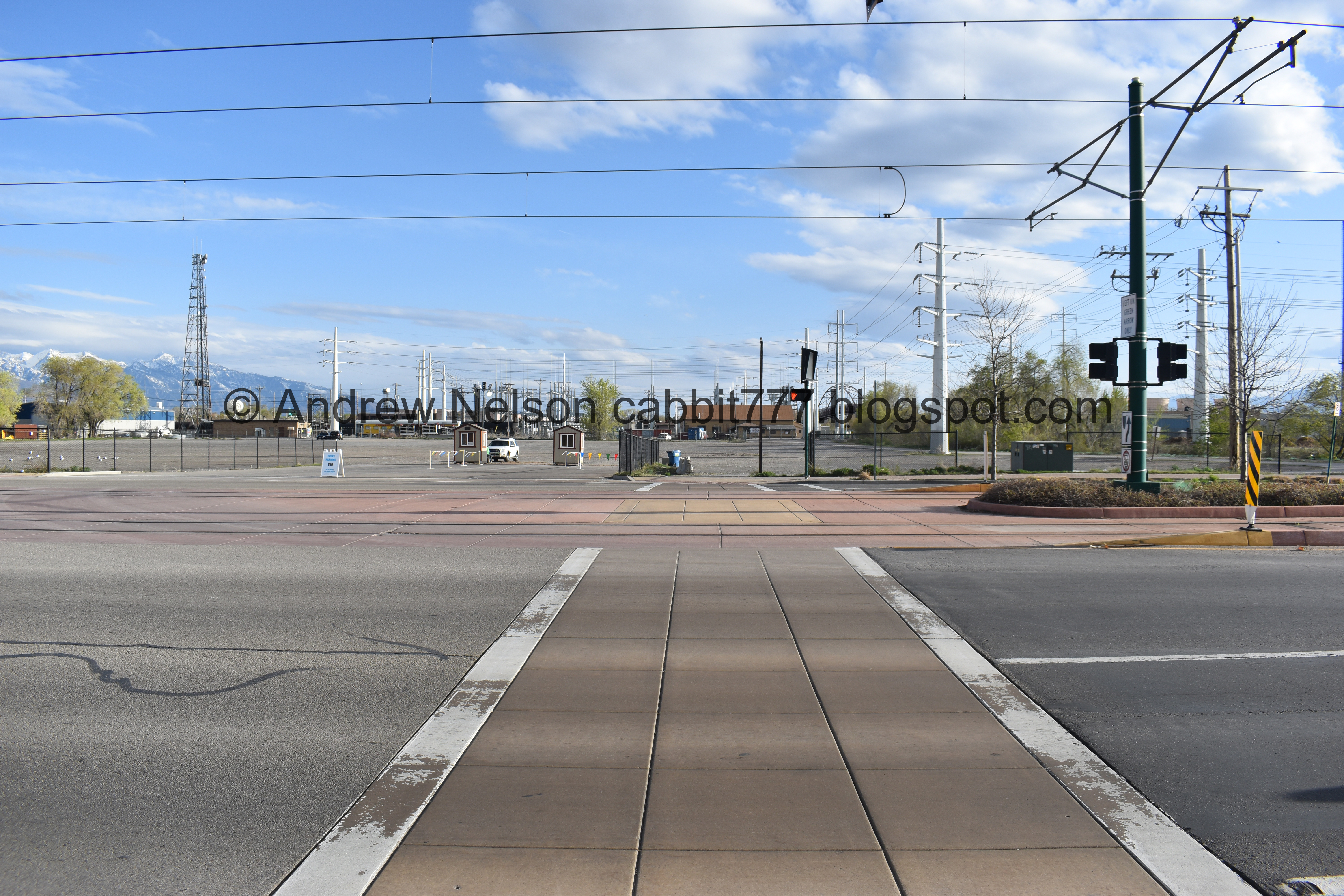
The Gadsby Power Station.
Well, this is a nice section of the trail, not as neat as the previous 2 sections, but still just lovely. Only 2 short spots that were a little sketchy, but it wasn’t too bad. Also it was not too busy today. Plus, I just loved that I completed my goal of walking along the entire parkway! 7 out of 10 squirrels.
As for difficulty, it’s flat, and paved. DR2.
Dogs are allowed, but should remain leashed.

No comments:
Post a Comment