.jpg)
The Devils Castle Loop is a beautiful loop located in the Albion Basin above Alta. The trail features wildflowers, wildlife, beautiful forest and absolutely stunning peaks all around you. This is one of our favorite trails, so we do it fairly often. In fact we did it just a few weeks ago. But, last weeks hike was kind of a bust so I wanted to do one we enjoy. Plus, I’ve been wanted to try the loop from the other direction again for a minute.

Quick Details:
Length: 1.8 Mile loop.
Trail Type: Loop
Difficulty: DR3
Elevation Gain: 460 Ft.
Restroom: Yes, there are pit toilets.
Dogs? No. Little Cottonwood Canyon is watershed.
Other Info: Fee area: $10.00 per car to use the Summer Road. You can avoid that by parking down at the Albion Base and hiking an additional 1.5 miles each way.
To Get Here:
Head to the top of Little Cottonwood Canyon. Pay your fee, and drive an additional 2 ish miles to the Cecret Lake Parking lot.

Heading up Little Cottonwood Canyon (Passenger Seat Photography (PSP)).

The beginning of the Summer Road (PSP).

I say this every time, but as far as high elevation, non paved roads go, this one isn’t bad at all (PSP).

The Catherine Pass Trailhead (PSP).
The Trail:
You can either start going up the Cecret Lake Trail, or up through the campground. I usually do the latter, because it is more strait forward and not as prone to random trail splits Plus the former is not signed. But, I felt pretty confident I know the correct trail now, so we went towards Cecret Lake.

Crossing Little Cottonwood Creek.

Surprisingly, there are still wildflowers to be found. Though the Albion Meadows are definitely beyond prime.

Some nice forest.

Sugarloaf Peak.
Devils Castle, the peak we will be hiking below.

Again. There will probably be quite a few shots of it. I particularly like this peak.

The much thinner offshoot to start the official Devils Castle Trail. Like I said, there is no sign on this end.

Devils Castle again.

A bunch of western coneflowers.

Trail split. We opted for the right fork, I think they both get there, but this is the outer loop.

Pretty little meadow.

We found some paintbrush still hanging on.

This little bridge helped confirm we are on the right trail.

Although this little stream appears to have dried up for the season.

More paintbrush.

More nice forest.

Another trail split. You want to go right. When we come from the other direction, we tended to go down the trail to the left. Last time, we discovered that the other end they have closed off for revegetation. I felt a little bad, but Landis said, if they really wanted to revegetate it, they would block both ends. Which is quite true.

More forest.

Another bridge over a dried up stream.


More forest.

Then the climb resumes. This seemed rougher than it is on the way down, but now I think this is the preferred way to go. It’s not too bad.

Don’t get me wrong, it is definitely a climb, but I think it is a little bit better than the other side.


More forest.

Super green underbrush.

Nearing the top of the main climb.

Paintbrush.

Western coneflower with a bumble bee.

Some lupine hanging on.


More forest.
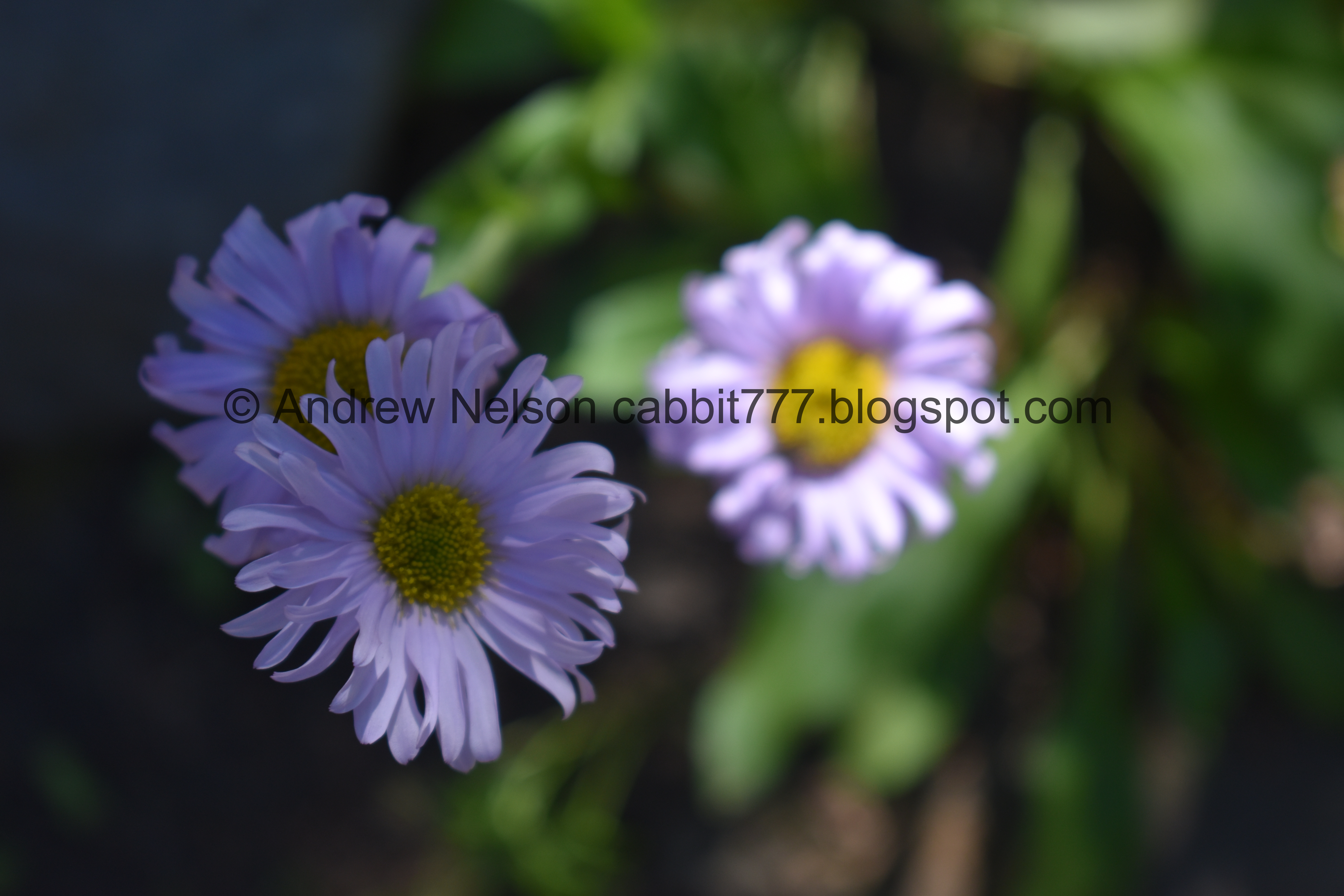
Daisies.


More forest.

As you pop out of the forest you are greeted with a great view of Devils Castle.

I am kind of shocked to see all the snow on it melted. This freaking heatwave man.

The absolutely enormous scree field below.

Scree field, and 3 mine tailings.

Devils Castle again. Actually the peak on the right is Devils Castle and the one to the left is East Castle. But I always just lump them together.

Devils Castle again.

Catherine Pass across the way.

This giant boulder has a flat face. It usually has climbers on it.

View down.

Giant scree field.

Oh look, a marmot! Hello cute little guy!

Oh my goodness. So cute!

Handses!


On the move.

Marmot butt!

Such a treat.


Prairie doggin!

Okay, bye!!!

Noticed a random hawk. I think this means we wont see any picas today.

The scree field again.

Getting right up under the castle.

The trail crosses the scree field.

Bee and thistle. The bees are really, really active right now. I guess the last ditch effort to gather before it gets too cold. I wouldn't say they are aggressive, but man, they are just everywhere, and well, I am not a huge fan of them. One landed on e and it freaked me out haha.

Scree and Castle.

This old mine is at the high point of the trail.

There is a nice little bench to take a rest.

Caved in mine.

View from the top.
.jpg)
Panoramic.

Kind of a sad looking paintbrush.

The scree field with Greeley Hill.

I found a pretty handsome lupine.

Western cone flowers.


Paintbrush.

Some of the bigger boulders were flung a lot further as the glacier retreated.

More daisies.

Looking back at Devils Castle.

More forest.

Eventually the trail will join with a dirt road. You wanna hang left here.

View up.

The road has a fork. I feel like both probably get you back down, but I’m not 100% sure. To be safe we went left, since that is the way we normally come up.

The peak through the trees.

The road passes by some cabins.

Fun snow tractor.

Almost down to the gate that leads to the campground. This part is quite steep.

A spent fireweed.

There is a little trail to the left of the gate that will allow you to get to the campground.

Some little plant that has turned a lovely shade.

The campground.

Little Cottonwood Creek.

Devils Castle from the parking lot.


Heading down the Summer Road (PSP).

View down canyon (PSP).

Last view of the peaks (PSP).

On the main Little Cottonwood Road, one of my favorite views (PSP). Unfortunately it looks like they have decided to ruin it with the stupid gondola no one wants.
I really do enjoy this trail, and I particularly enjoyed experiencing the full trail from the other direction today. It was definitely a new experience. It is also a million time less crowded than the more popular Cecret Lake, however I think it is just as scenic. Although you can find picas and marmots on both trails. Going with 10 out of 10 squirrels today.
As for difficulty, there is definitely a climb, but its really not so bad. A little worse going the other way. DR3.
Dogs are not allowed in Little Cottonwood Canyon due to watershed restrictions. Be sure to leave Fido home for this one.

No comments:
Post a Comment