.jpg)
The Albion Meadows above Alta in Big Cottonwood Canyon is a beautiful meadow that when caught at the right time is one of the more spectacular spot for enjoying our amazing wildflowers. Aside from the flowers it does offer excellent views of the surrounding peaks and canyon.

Quick Details:
Length: Me did about 3.3 miles balloon, but you can keep going.
Trail Type: Balloon, or out and back.
Difficulty: DR4. There is a bit of a climb with not much shade.
Elevation Gain: We did about 600 feet.
Restroom: Currently there are porta-potties at the Summer Road gate, but if they aren’t there there is one at the nearby Albion Base.
Dogs? No. Little Cottonwood Canyon is watershed.
Other Info:
To Get Here:
Drive to the top of Little Cottonwood Canyon, park just outside the gate for the Summer Road and continue on foot up the road.

Still a lot of snow up there (Passenger Seat Photography (PSP)).

Nearing the perfect U shaped canyon (PSP).


I love the granite cliffs (PSP).

Waterfall (PSP) I don’t think this is Gloria Falls but I don’t know what it is.


Avalanche damage (PSP). The canyons took a real beating with the rough winter we had this year.

I think this is Peruvian Gulch (PSP).

Collins Gulch (PSP).

The Albion Basin (PSP).
The Trail:


We noticed this historical marker and decided to investigate. The historic bay city tunnel of the Emma mine. Apparently it almost started a war in 1873. The Emma closed in 1918 after producing close to $4 million in silver. Now it leads to the source of Alta’s water.

Down canyon.

Devils Castle.

Not the same angle but this is form almost exactly a year ago (7/10/22) from our adventure to Cecret Lake. Look at how way less snow there is.

Devils Castle and Sugarloaf Peak.

Onto the Summer Road. Normally this is open to cars by July 1st, however with the epic winter we had they do not expect to open it until mid July this year. It is however open to hikers and bikers now.

Looking down the canyon again.

Some lovely aspens.

There are several snow cats parked along the road. I wonder if some of the residents still need them to get to their cabins.

Pretty forest.

Big patch of snow.

More forest.

Random blue fish.

Upcoming corn lilies.

More snow.

More snow cats.

Just before a half mile you will come to the first switchback, and the trail is to the right.

Oddly, the gate was open today.

The creek.

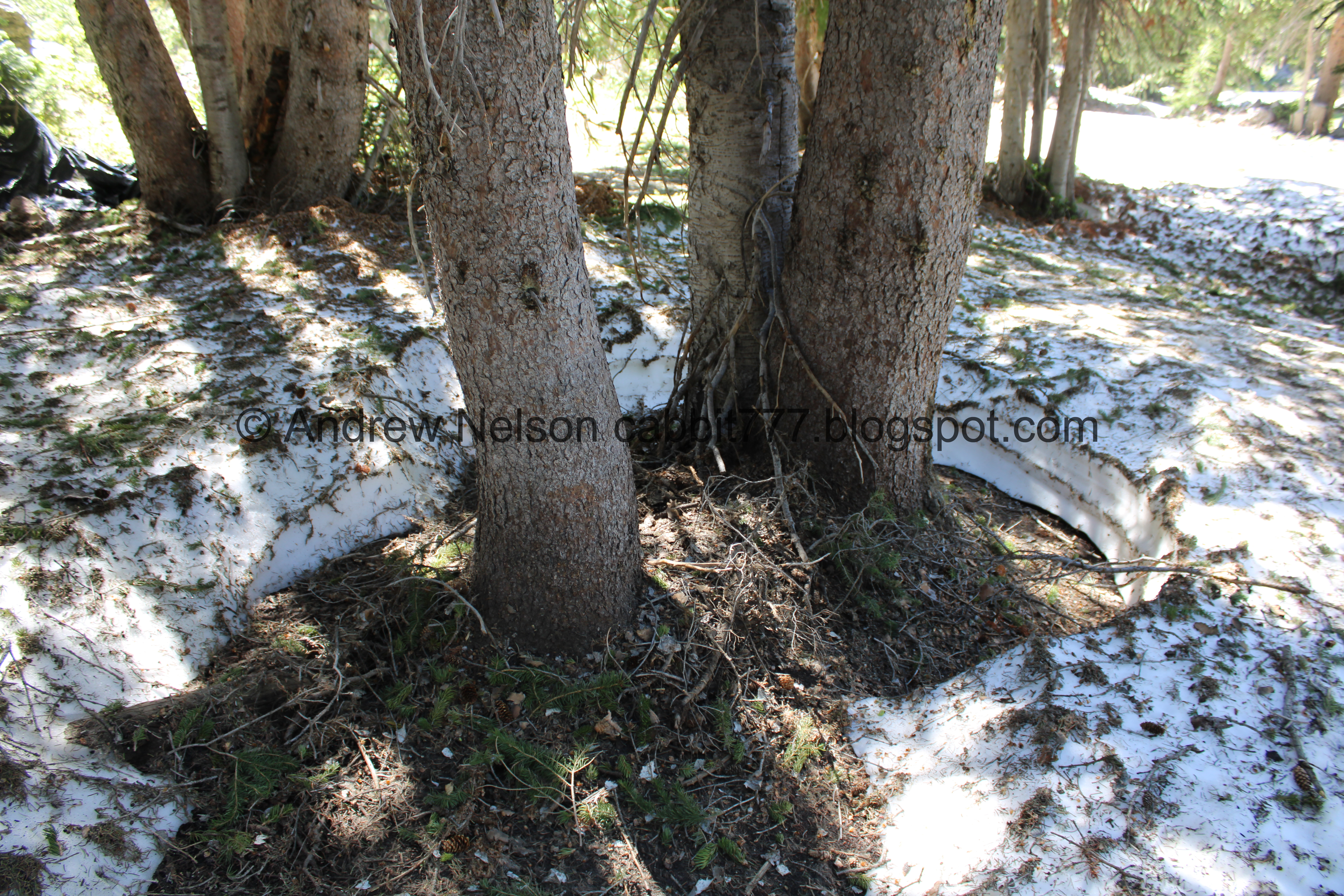
Fun little snow cave.

Closer.

I feel like this has been widened this year.

Greeley Hill still has a bunch of snow.

Forget me nots.

Lots of water running across the trail.

Coming from this spring.

Under a ski lift. I think this is the Albion Lift.

More snow as we approach the main trail.

On the main trail, it is super rocky!

Just after the main trail curves to the left, there is a split. It took me a few years to learn this, but I think I definitely prefer to take the split to the right and use the lower trail. It’s a little easier. I guess I should call it the South Fork so as not to confuse it with the Lower Albion Meadows.

Looking across the other side of Little Cottonwood Canyon.

Greeley Hill again.

Devils Castle again.

This trail has be rerouted a few times.

The meadows are just pretty green hills right now. Give it a week or two and it will be covered in wildflowers.

Devils Castle and Sugarloaf Peak.

Little stream.

View down again.

Devils Castle again.

More forget me nots.

Greeley Hill.

Wallflowers.

Mine tailings.
Devils Castle and Sugarloaf Peak.

Looking towards the Catherine Pass Trailhead.

Down canyon again.

Little Cottonwood Creek below.

We have to trudge over this patch of snow twice, since there is a switch back on the other side.

Microwave tower.

Crossing the snow patch again.

The creek again.

Pretty silvery blue.

Big snow patch.

Devils Castle again.

Alf’s. This was going to be the destination today, but we decided to push on to a mile and a half.

Again.

Devils Castle and Sugarloaf Peak again.

Sugarloaf Peak.

Here it is from almost exactly a year ago. Huge difference in the amount of snow on it!

The creek again.

Coming out of this giant patch of snow.

The higher we climb the more snow we come across, which I mean, makes sense, but it is still crazy to see this much snow this late in the year.

Big ol pipe. I hope this is not an indication of trail closure.

As we start to hit the forested section we run into a lot more snow.

Some tree wells.
We hit 1.5 miles somewhere through here, but we knew there was a bench up ahead so we kept going to that.

The creek below.


Again.

Some cascades.
Well after a nice rest on the bench we decided to start heading back. I would guess it is about a quarter mile to the Cecret Lake Trailhead.

Snowy forest.

The creek disappearing under the snow.

Tree wells.

Boulders and forest.

Leaving the forest with a view of Greeley Hill.

Back down to Alf’s.

Germania Pass. One of these days I might do that one!

Devils Castle again.

The big snow patch again. Notice the trail split here. The upper route or North Fork was rerouted down here a few years back. So, we are going to go right. We came up from the left.

View down.

Germania Pass and Greeley Hill.

The old route appears to be filling in nicely.

Devils Castle again.

Devils Castle and Sugarloaf Peak.

With some forget me nots.

Another little spring.

Greeley Hill again.

The New Albion Meadows Trail that leads up to Catherine Pass Trailhead.

Devils Castle again.

Devils Castle and Sugarloaf peak.

Wallflowers.

Looking back at the peaks.

Grizzly Gulch.

This north trail is steep and rocky!

Split off for the south trail. We decided to take it to go see the creek again.

Downstream.

Devils Castle again.

Devils Castle and Sugarloaf Peak.

Back on the main trail with more snow.

Microwave tower again.

Split off to the Summer Road to the right. The main trail down to the Albion Base to the left.

Down canyon.

Another snow arch. This one is starting to collapse.

Little side stream.

We found a pretty little waterfall.

Super pretty.

Nice clear water.

Last view.

Back to the Summer Road.


Even the Summer Road is pretty.

Across the canyon.

Nearing the bottom.

Down canyon.

The snow cats again.

Back down to gate.

Down canyon again.

Pretty red paintbrush.

Back down to the parking lot looking back up at Devils Castle and Sugarloaf Peak.

View down again.

View up into the basin.


Penstemon.

Some pretty yellow.


Elkweed, one of my favorites.

Paintbrush.

Geranium.
More wildflowers in the parking lot than in the meadows right now haha.

Heading back down the canyon (PSP).

Avalanche debris (PSP).

Wiped out trees (PSP).

I absolutely love this view (PSP). I really hope we stop the stupid gondola. It will absolutely destroy this view.

The soaring cliffs near the mouth of the canyon (PSP).
Well, even if we were a little early for the wildflowers, I do enjoy this trail and the amazing views. It also wasn’t super busy today which is always a plus. 9 out of 10 squirrels today.
As for difficulty its quite a Climb. DR4.
Dogs are not allowed in Little Cottonwood Canyon, so be sure to leave Fido home.

No comments:
Post a Comment