.jpg)
Silver Fork is a lovely side canyon in Big Cottonwood Canyon. It features a stunning mixed forest, wildflowers, a (closed) mine, and a nice view. If you come early enough in the year it also features a nice creek with a couple small waterfalls. There is also quite a bit of shade. Another one of the trails we do fairly often, but it is pretty.

Quick Details:
Length: It is about 4 mile round trip to the mine and back from Solitude. You can shave off about 1.5 miles (out and back) if you drive up the narrow road to the upper TH.
Trail Type: Out and back
Difficulty: DR3. It’s mostly a gentile climb with a few up spots.
Elevation Gain: About 840 feet.
Restroom: No. I am sure there is one in Moonbeam Lodge, if not there is definitely one in Solitude Village (2nd entrance). Or a bit further up at the Solitude Nordic Center.
Dogs? No. Big Cottonwood Canyon is watershed.
Other Info: There is a slight detour right now due to construction at Solitude which appears to add about 3/10’s of a mile each way.
To Get Here:
Drive approximately 12.2 miles up Big Cottonwood Canyon and turn right into the Solitude Moonbeam Entry. Head to the far west end (down canyon) of the parking lot. Park and follow the trail west.
Or if you are not as squeamish as I am you can continue up Church Road for about a mile to the upper trailhead. Just be aware it is a thin 1 lane road on a really steep slope.

Still some snow up there on Twin Peaks (Passenger Seat Photography (PSP)).


Heading up Big Cottonwood Canyon (PSP). They said they suspended the construction and accompanied one direction at a time light for the holiday weekend. Hooray!

Approaching Mill B and the S Curve (PSP).

Mill D between Reed and Benson Ridge and Kessler Peak (PSP).
The Trail:

Finally reached Solitude, and the construction project they are doing.

We’re going to take the Queen Bess Trail to the Silver Fork Split.

Little Spring.

This building doesn’t look like it survived the epic winter we had. I wonder if they will save it or demolish it.

Looking across towards Willow Heights.

It was about here that I realized I did not take the intended detour route. Oops. I am a pretty big rule follower too, the signs just were not clear enough. I got off the Queen Bess trail and got on the road below it, I thought I was good. o.O Well, it is Sunday and there was no work currently happening so I figured no harm no fowl.
If you go on weekday Church Road is at the NW end of the parking lot.

Anyway, normally you will take this thin offshoot to the right just as Queen Bess starts to climb the hill.

Then very shortly afterward you will be on Church Road. Continue along to the left, then right.

Thimbleberry flower.

I actually kind of like walking up Church Road. The forest is amazing through here!

I think these are lodgepole pines.


Super pretty.


It kind of makes me think of Yellowstone.

Small side ravine.

Soon to be columbine. I think.

Starting to hit the cabins along the road.

Wallflowers.

Some progress on the new builds up here.

Then you are going to want to take the dirt road to the right.

Still super pretty.

At about 3/4 of a mile (longer with the detour) you come to the new trailhead, and as far as you can drive due to the lower gate, if you chose that option.

Area restrictions.

More pretty forest.

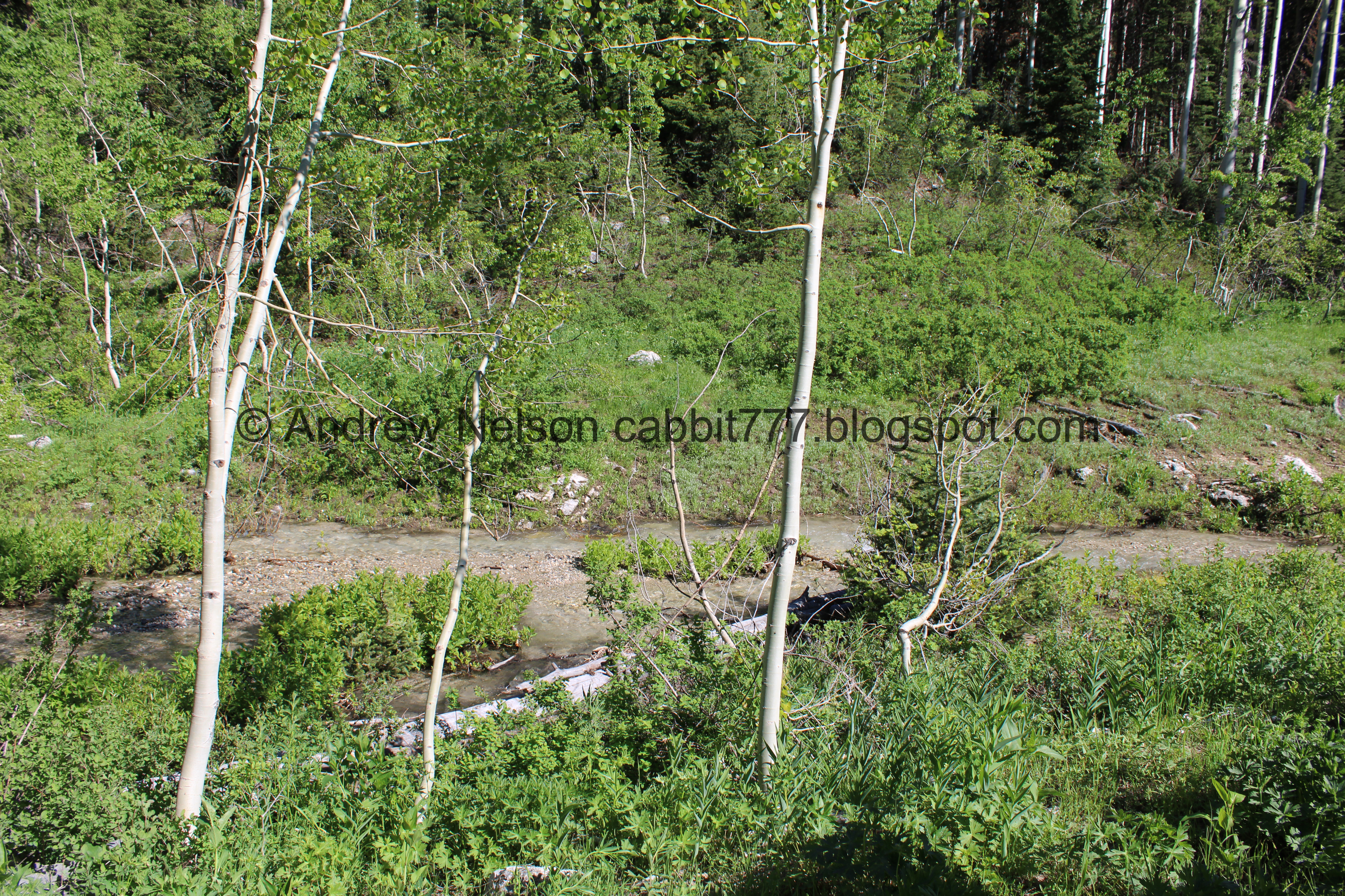
The creek below. I am pretty sure this is the first time we have seen it flowing this much!

At about a mile we reach the 2nd gate, and what I am assuming to be the original trailhead. Why else would the sign be up here with a small parking lot?

Trailhead Kiosk.

Silver Fork.

More forest.

Little waterfall.

The creek crosses over the trail. You don’t really have any option other than getting your feet wet here, but it’s warm enough that it didn’t bother me.

A pair of small waterfalls.


More forest.

There is an old, old outhouse up here.

The door was stuck and it wouldn’t open. Either way I am like 99% certain this is no longer serviced so even if you can get in its probably not pleasant.

Patch of snow.

More forest.

Starting to hit a more mixed forest.

Looking up.

It is super pretty up here.

The first little clearing.

With the creek.

Starting the climb.

Bluebells.

Forget me nots.

Not sure what these are.

Geranium.

Some paintbrush just starting out.

Wild strawberry, I think.

Some kind of pea, or what I generally just call snapdragon.

Short section on a steep slope that I don’t like, but the trail is wide enough I can muster it.

Larkspur.

There is a pretty significant waterfall down there, but there doesn’t appear to be a better way to view it safely.

More larkspur.

There is a strong patch of them through here.

The creek below.

Before long the trail mellows out again.
The creek.

More bluebells.


More mixed forest.
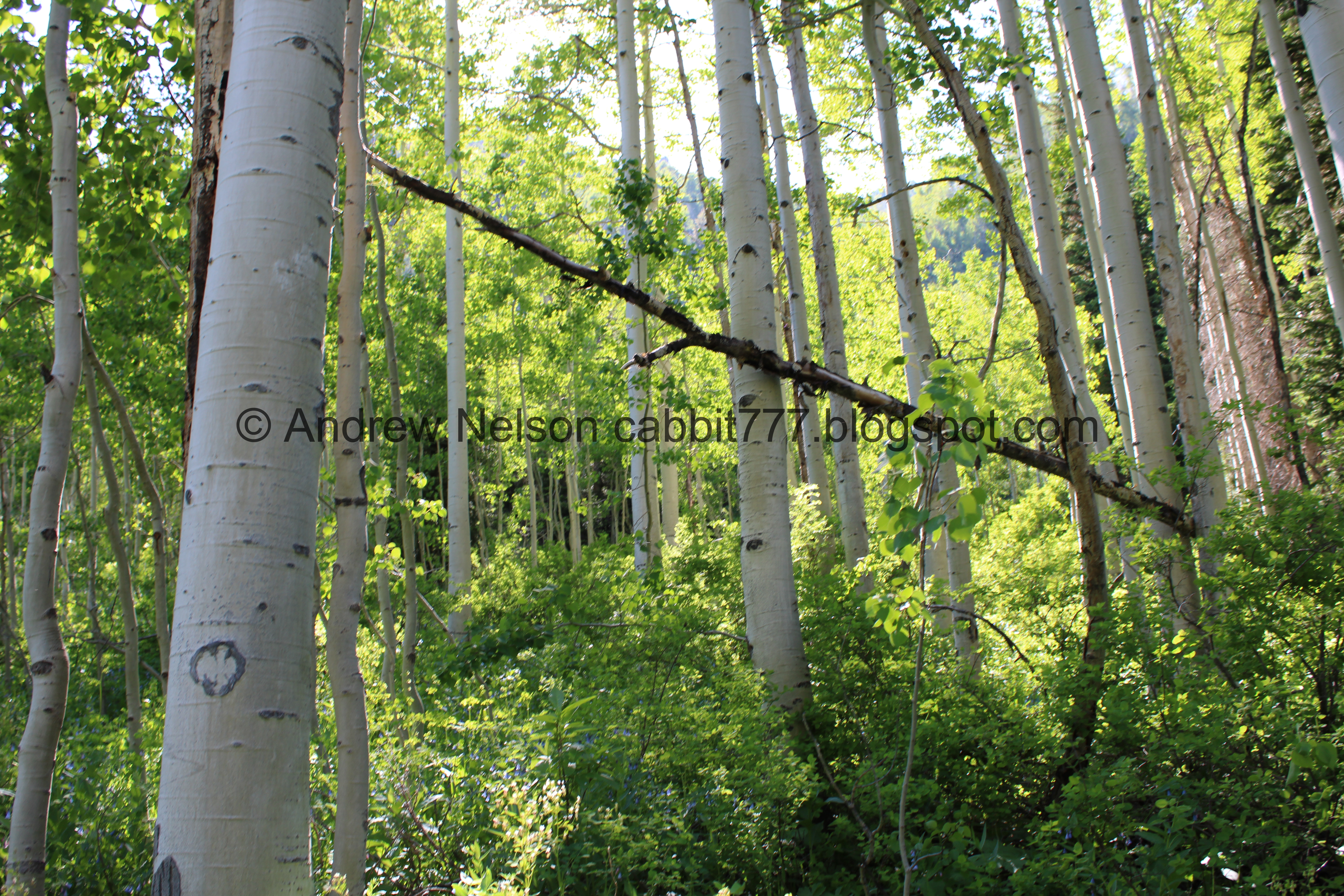
But hitting more aspens.

This is one of those hikes that the entire adventure is the prize.

More wallflowers.

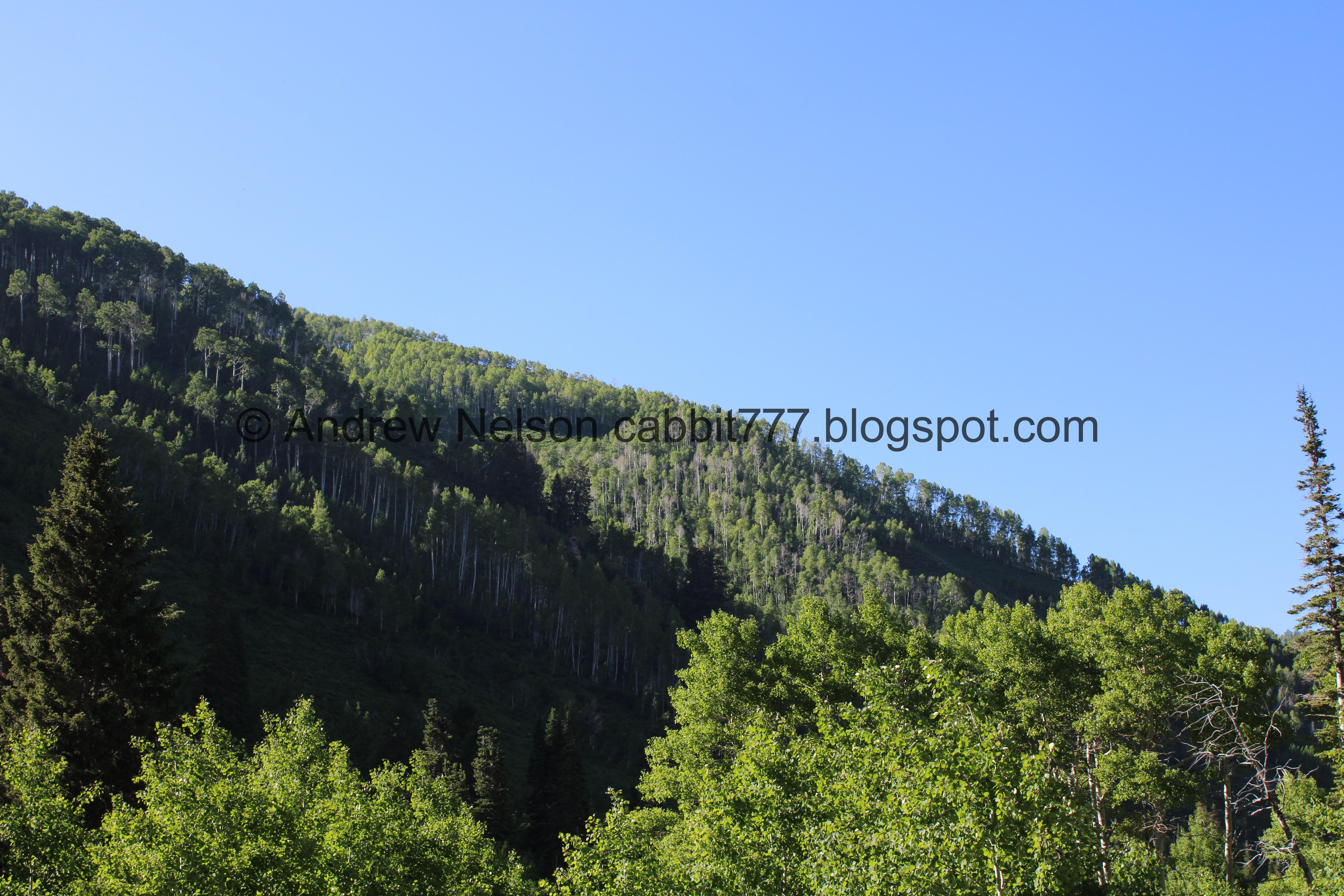
First view of what I think are part of the Honeycomb Cliffs. There is some snow up there, but the cliffs themselves are also white.

Trail split. The left fork will bring you to the mine.

Big meadow. This means you are almost there.

The creek.

The creek goes through a culvert under the trail here, but quite a bit of it spills over the trail.

Upstream.

Pretty butterfly. Leaning towards a mourning cloak.

Back into the forest.

Then there is another clearing.

Almost there.
Spectacular view down Silver Fork and across Big Cottonwood Canyon.

The mine has a big swath of snow in front of it.

You can see that it has been boarded up. I was able to get a peak through the gap one time and it looks like there might be some weather monitoring equipment in there.

The view down again.

The creek.

Some kind of overflow pipes.

The creek coming out of a big snowbank.

Downstream again.

Some kind of old structure.

View up canyon.

View down again.

Better look into the mine.

One last look at the view before we headed back down.

Tailings.

Back into the forest.

The creek again.

Itty bitty waterfall.
Green ridge.

The creek again.

Small waterfall.

Longer exposure.

Back to the upper crossing.

The creek.

Back to the big clearing.

The creek.

The clearing.

Short section that is kind of beach sandy.

Looking up at the ridge.

Forget me nots.

The big clearing.

More wallflowers.

Incoming columbines.

Back into the forest.

Geranium.

We found quite a few signs of the effects of the brutal winter we had up here.

More pretty forest.

The creek.

Hillside starting to bloom.

Larkspur.

A more purple variant.


Big patch of them.

Bigger waterfall. We were hoping we could find a safe way to get a better view of it, and short of walking up the creek bed we did not see anything.

Not sure what these are.

More forget me nots.

I forget what these are.

The lower clearing.

Looking up.

More forest.

Back down to the old outhouse.

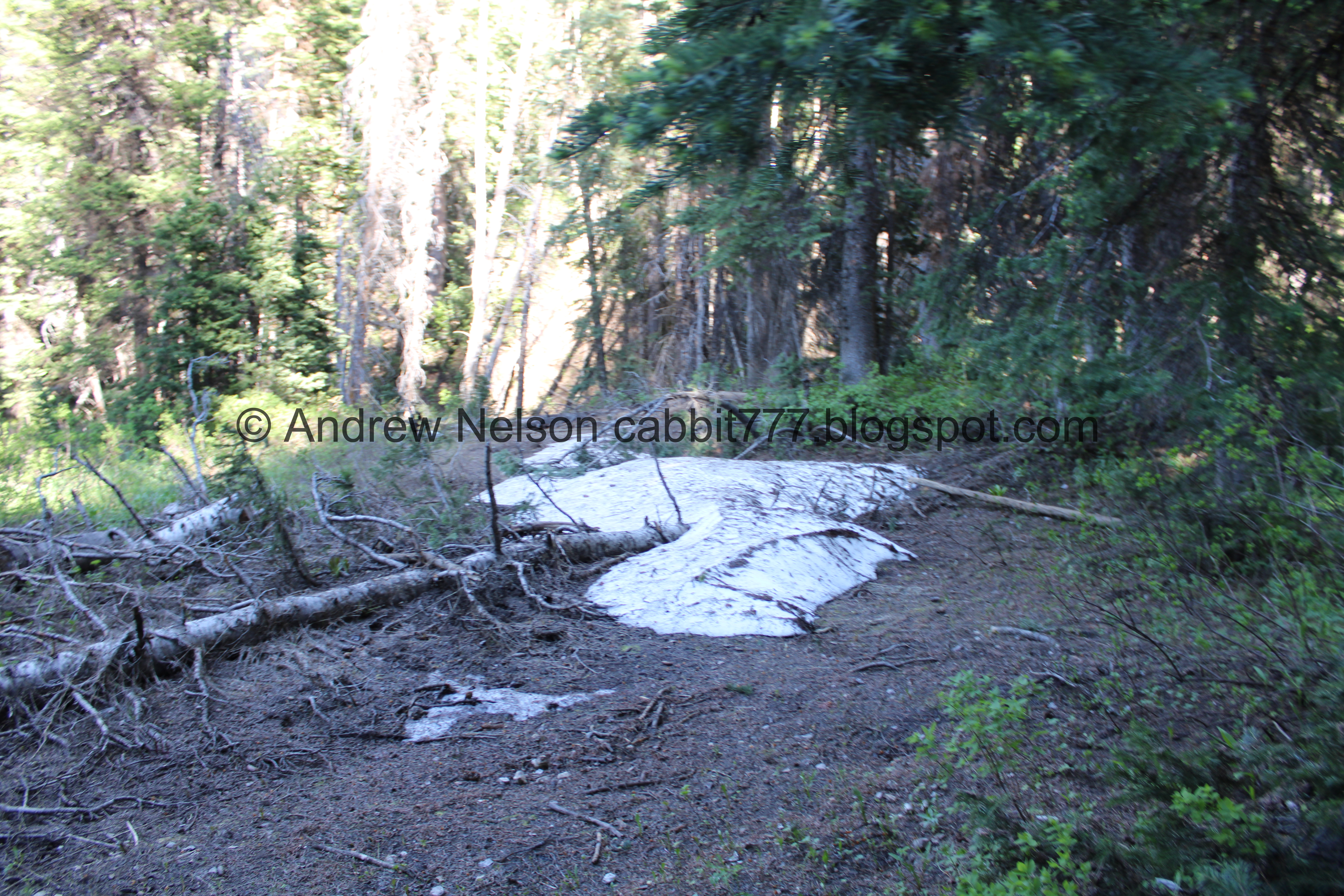
More patches of snow.

More winter damage.

More forest.

Tree that is missing its top but is still going strong.


Back to the lower crossing. It seemed colder than the first time haha.

Couple of little cascades.


I love these reddish trunks.

Back down to the upper gate.


It’s just so pretty up here.

Just below the trailhead.

Clematis.

Geranium.

Back to the paved road.


More pretty forest.


I really like the forest through here.

When you start to be able to see the ridgeline, that means you are getting close.

Utility line clear cut.

The road curves to the left and then the split off is just afterwards.

Geraniums.

First columbine of the year. Woo!

Offshoot back to the parking lot.

Northern flicker.

The destroyed building again.

Again.

Willow Heights again.
.jpg)
Panoramic of the other side of the canyon.

Heading back down Big Cottonwood Canyon (PSP).

Storm Mountain (PSP).

Little bit of haze, but not too bad (PSP).
I really do enjoy this trail! It is a super pretty excursion in the mountains. Yeah, a closed off mine is not a spectacular destination, it more about the journey, and well, the nice view at the end. it is also a super quiet trail, I think we passed 3 maybe 4 other couples or individuals. 9 out of 10 squirrels today.
As for difficulty, for the most part it is a gentile climb, with a couple of climbs. DR3.
Dogs are not allowed in Big Cottonwood Canyon. So be sure to leave Fido at home.

No comments:
Post a Comment