.jpg)
Lake Mary is a absolutely stunning reservoir located above Brighton in Big Cottonwood Canyon. The trail features incredible views, lovely forest, wildflowers, and of course a pretty lake surrounded by mountain peaks. Also, if you have the energy you can keep going to see 2 additional lakes, Lake Martha and Lake Catherine, both are also quite pretty. Apparently they suspended the fire mitigation project for a race happening in the canyon, so we decided to take advantage of that. Yet another trail we tend to do regularly.

Quick Details:
Length: It’s about 1.25 miles to Lake Mary but with some add-ons we did we ended up doing a 3.11 mile out and back.
Trail Type: Out and back, loop options and connector options.
Difficulty: This is a long steep climb with some sparse shade. DR4.
Elevation Gain: About 800 feet.
Restroom: There are flush toilets outside of the Millicent Chalet on the north (down canyon) end of the parking lot.
Dogs? No. Big Cottonwood Canyon is watershed.
Other Info:
To Get Here:
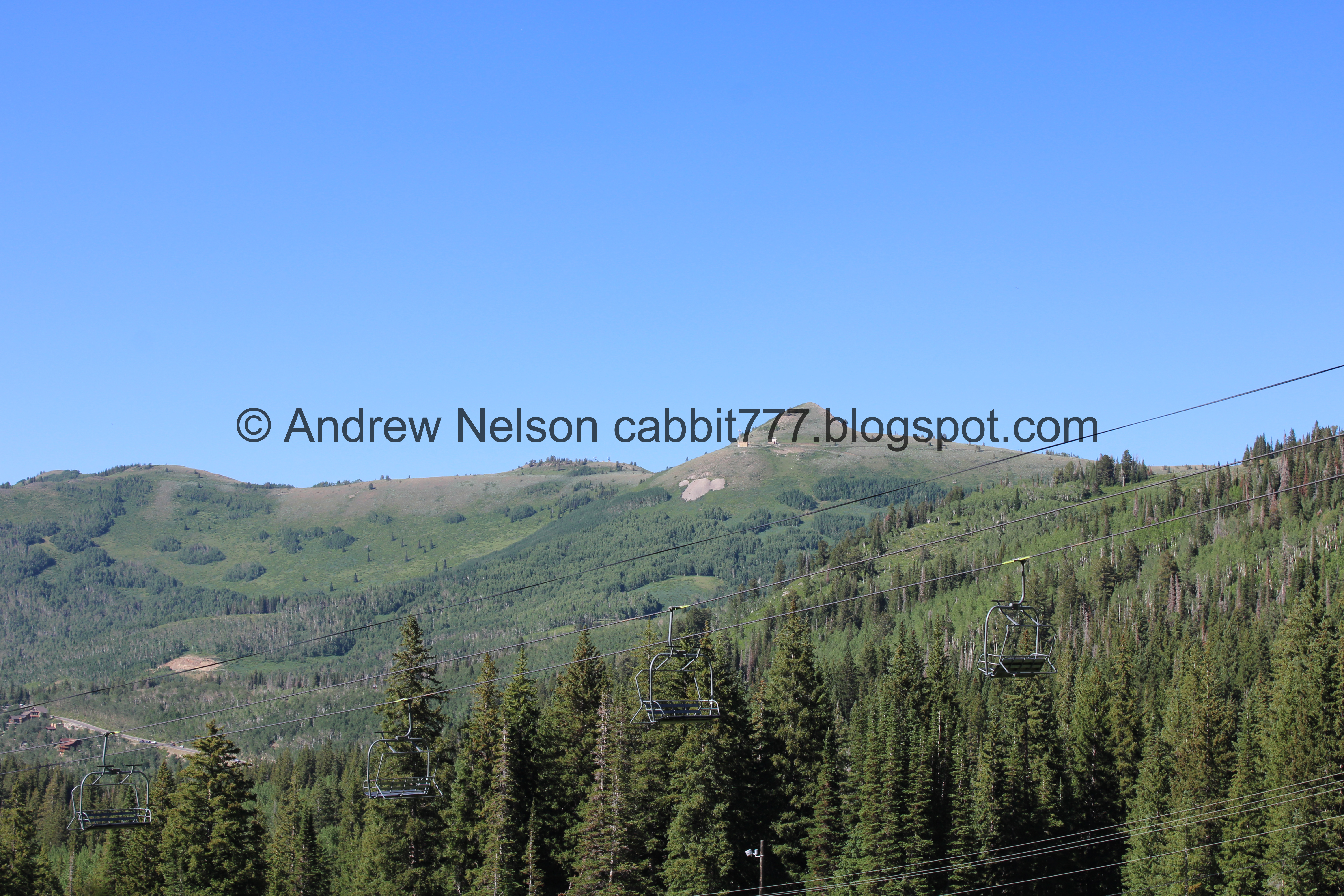
Drive to the top of Big Cottonwood Canyon. Go around the loop road to the south end of it you will see the big parking lot for Brighton. Park at the south end near the main Brighton building, which appears to be a ski shop. Hike up the trail next to the big map of the area.

Entering the canyon (Passenger Seat Photography (PSP)).

The fire mitigation project (PSP). Normally they have lights that only allow one direction of traffic at a time. Its a pain in the butt, so when I heard they were suspending it for the weekend I decided we would do something up here.

Just before the S curve (PSP).

Mill B South (PSP). Mill B North is at the top of the S curve.

More canyon (PSP).

Rather pointy peak (PSP).

Cardiff Fork Meadows (PSP).

Mill D South (PSP).

Silver Fork (PSP).

Nearing the top of the canyon (PSP).

Mount Millicent (PSP).
The Trail:

Mount Millicent from the parking lot.

The big map next to the main building. The trail is to the left of it.

Heading up the steep trail. The first half mile or so is quite the climb!

Heading under the ski lift.

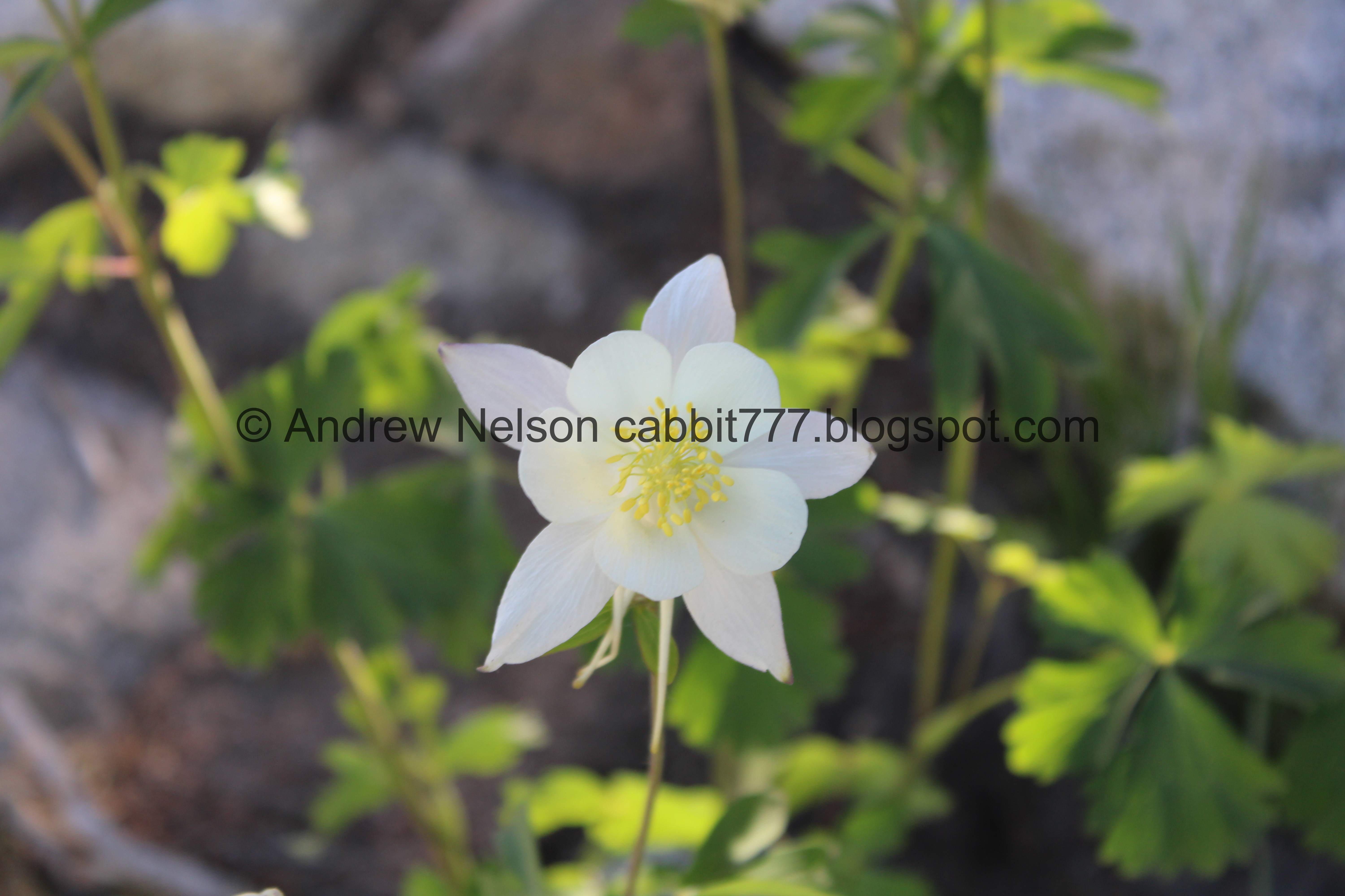
Columbines. One of my favorite wildflowers.

A blue one! I feel like I only get to see that one or two times a year, if that, so it is extra special to me.

So pretty.

The pure white one are what I am more accustomed to seeing. Much more common.

Some lupine coming in.

Some forest to the side. While the first half mile is mostly exposed, there are a few spots to stop and rest in the shade, which we fully took advantage of today.

Lots of elkweed.

Little closer, but still a bit off trail.

Mount Millicent.

Some sort of mint.

Minor trail reroute.

More columbines.

Bluebells.

Wallflowers.

Looking back across the canyon towards Scott Hill. I always say this, but you can easily recognize Scott Hill by the Mickey Mouse shaped mine tailings.

Some really pretty paintbrush.

Another minor reroute.

Another elkweed.


The pretty purple flowers are why I like these flowers so much.

Lupine just getting started.

Another columbine, slightly blue.
Across the canyon again.

I love this rock. It looks like a dinosaur eating flowers.

Mount Millicent again.

This columbine has purple tips.

Looks like they are putting in a disc golf course.


At the 3rd switchback there is a nice shady spot with this water tank. It a great spot to take a quick break. This is just short of a half mile.

Pretty clearing.

The 4th, 5th and 6th switchbacks heading up around the big boulder.

Another trail reroute. And a bench if you need a break. No shade though.

Large patch of forget me lots.

I found one little white bog orchid hiding amongst some corn lilies. Hello cutey! Another favorite of mine.

Some more paintbrush.


More columbine.

The big boulder.

More columbines.

After the big boulder you get a break from the climb for a bit.

Some pretty yellow flowers. I'm not 100% sure, but I am leaning towards some buttercup.

Stream flowing across the path. There are well placed boulders to help keep your feet dry… not that it matters for a future section.

Downstream, 2 streams combine.

Upstream.

More forest.

More flooded trail.

As we approach the 7th switchback it starts to climb again.

Starting to see more snow.

Sign pointing you to the right. I'm not sure where left leads, but I am thinking it is just a ski run.

Heading up the 7th switchback.

Much more snow up here.

Super rocky through here too.

Looking across the canyon again.
There is a short section through here that I don’t like, but I am able to get myself through it.

Pretty forest though.

View across the canyon again.

At about 9/10ths of a mile you will come to the trail split. I don’t know how they measured things. The sign at the bottom says 1 mile to Lake Mary and then here an additional half mile?

Big Cottonwood Creek coming out of Lakes Mary, Martha, Catherine and Dog Lake. It will be joined with it’s other headwaters Twin Lakes, and Silver Lake downstream.


Bridge over it.

Upstream.

I love this tree. It is like the quintessential perfect spooky Halloween tree.

Some penstemon coming in up here.

You can connect to Twin Lakes too, which will take you down to Silver Lake which is not far from the parking lot for a nice loop. Honestly you could essentially hit all 7 lakes up here as a big loop with spurs. I’ve never done it, but you could.

This is the most purple larkspur I have ever seen. Wow! Super pretty.

Another short, steep, rocky climb.

The creek below.

Again.

Spillway.

Nice clear pond.

The dam. This means you are almost there.

More penstemon.

Water running down the steps.

WHOA!!! The lake is overflowing. In all my years hiking up here I have never seen that before. Crazy.
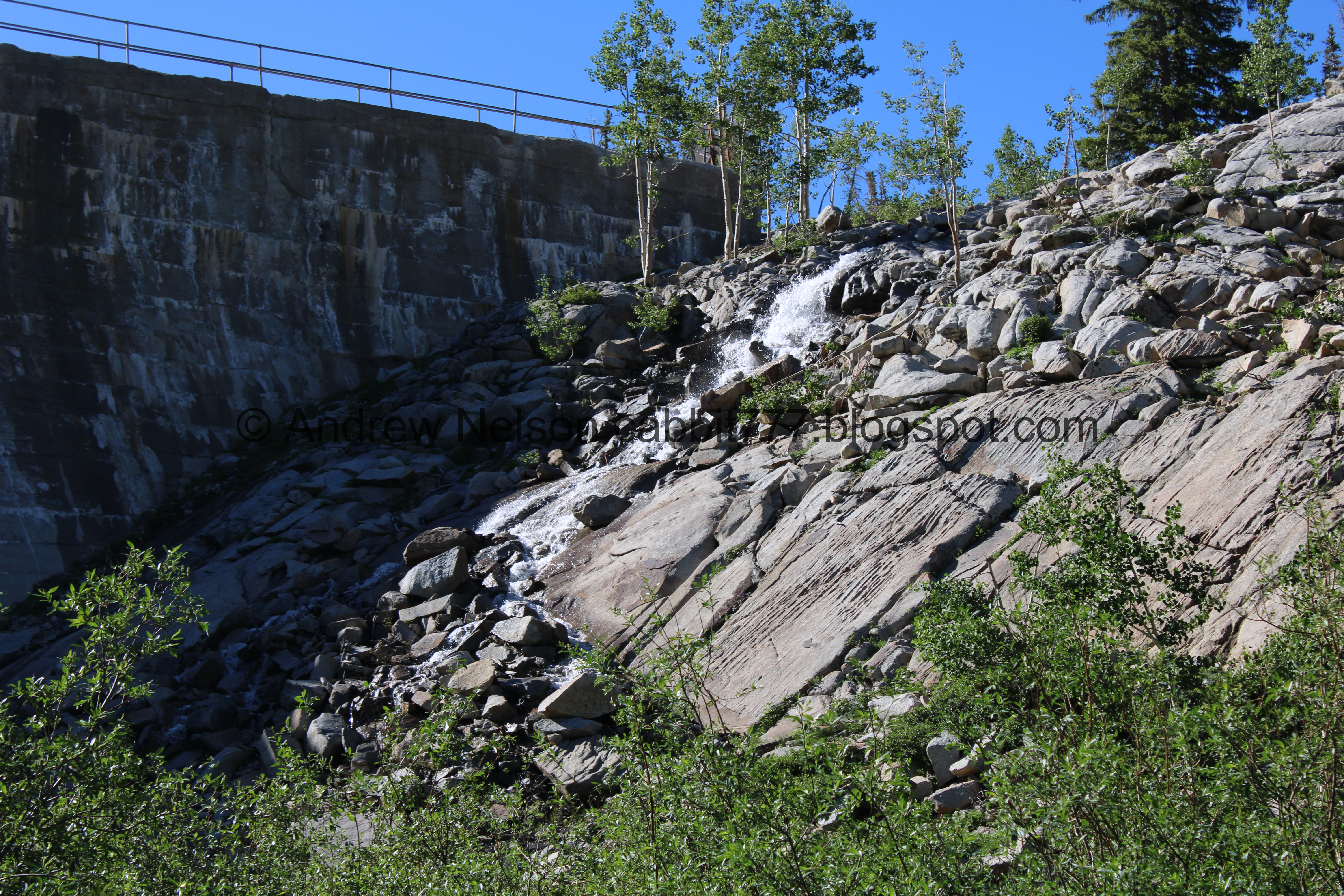
It’s kind of a cool little waterfall though.

More wet steps.

I refer to this next section as The Narrows. First it is narrow through these bushes.

Then it is narrow along the dam. I think this came about during the pandemic, it is narrow, but we came up here and passed quite a few people here and it was not a comfortable experience during that time.

The dam.

The regular outlet.

Continuing downstream. If that looks like more than what was coming out of the pipe, that's because it is.

The trail is completely covered in water. I am sure if you tried really hard you could avoid getting your feet wet but I think if you just accept it is going to happen, it is easier.

View across the canyon.

The overflow waterfall again.

View across the canyon again.

More water running down the trail.
It appears to be coming out of seeps from the reservoir. Which makes me a little nervous, but I imagine they are watching it.

Final push.

Strange cement formation.

We made it! Woo!

Reminder that there is no swimming in here.
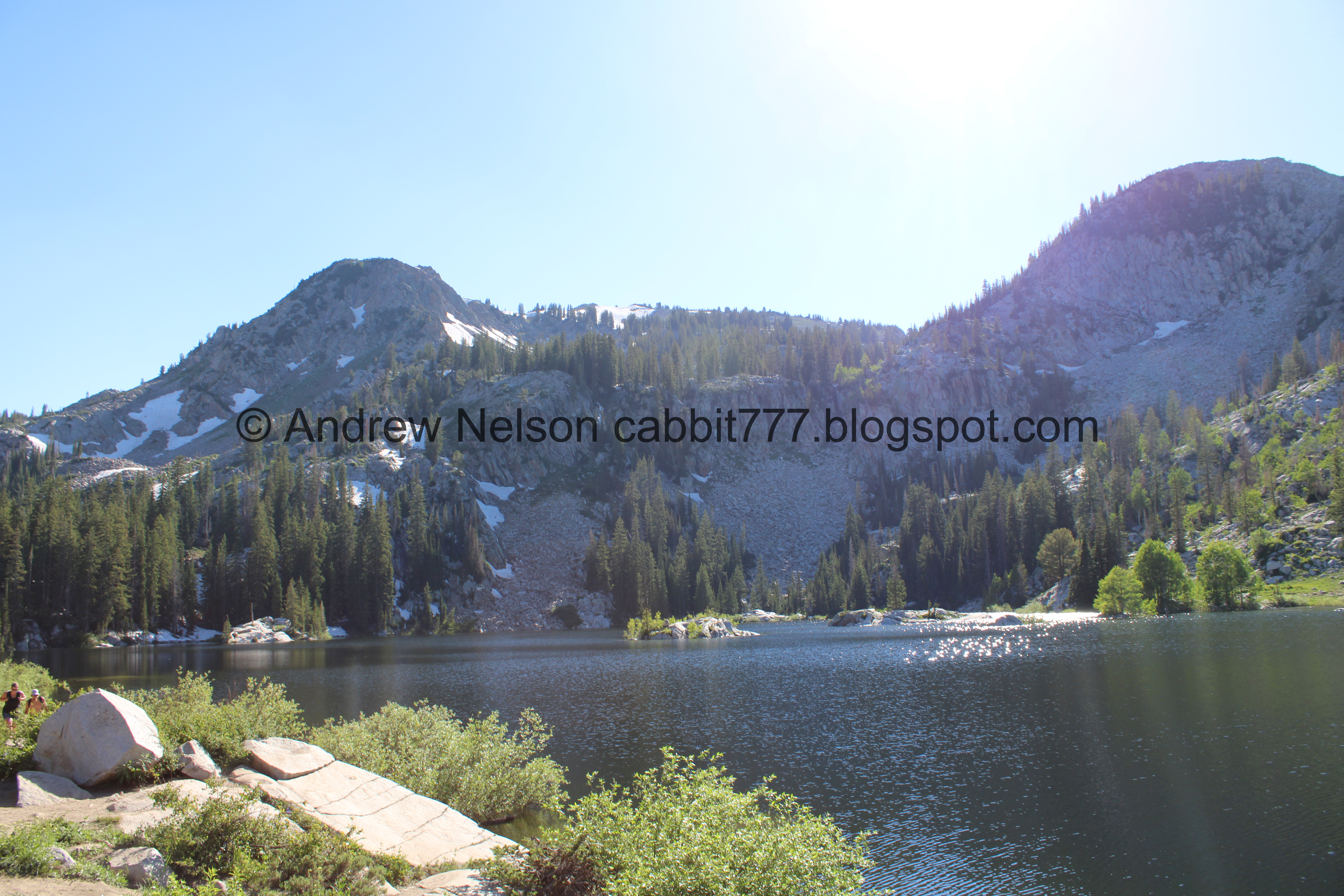
Mount Tuscarora and Mount Millicent above the back end of the reservoir. Fun fact, before the reservoir there was a natural lake called Lake Phoebe back there.
.jpg)
Panoramic.

The big boulder. Usually there are people up at the top of it.

Sunset Peak Catherine Pass and Mount Tuscarora.
.jpg)
Another panoramic.

The back end of the lake again.
.jpg)
Panoramic from the big boulder.

Plants growing out of cracks in the boulder.
The back of the lake again.


More plants growing out of cracks.

The front of the lake.


Penstemon.


Don’t know what these are.

The lake again.

Nice clear water.

More penstemon.

Weird cement formation.

My guess is an accidental cement dump.

Itty bitty clouds.
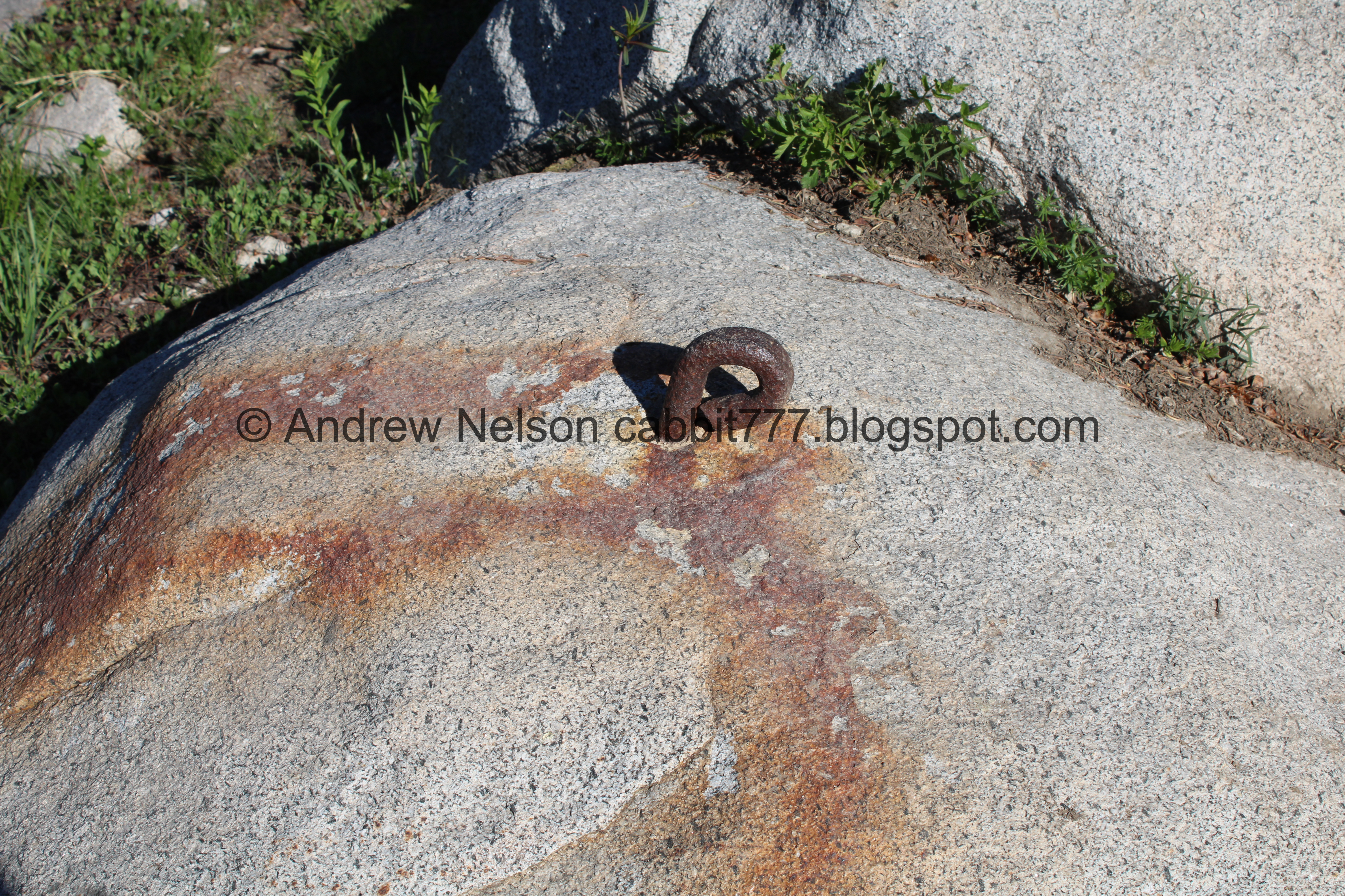
Random rusty part.

Well, time to head on back. Here is the dam again.

Down the rocky hill.


Some more elkweed.

Back to the waterlogged “narrows”.

The overflow waterfall again..
The main output.


More penstemon.

The overflow again.

Some pretty orange paintbrush.

Heading down the stairs.

Back to the spillway.

The creek.

Again.

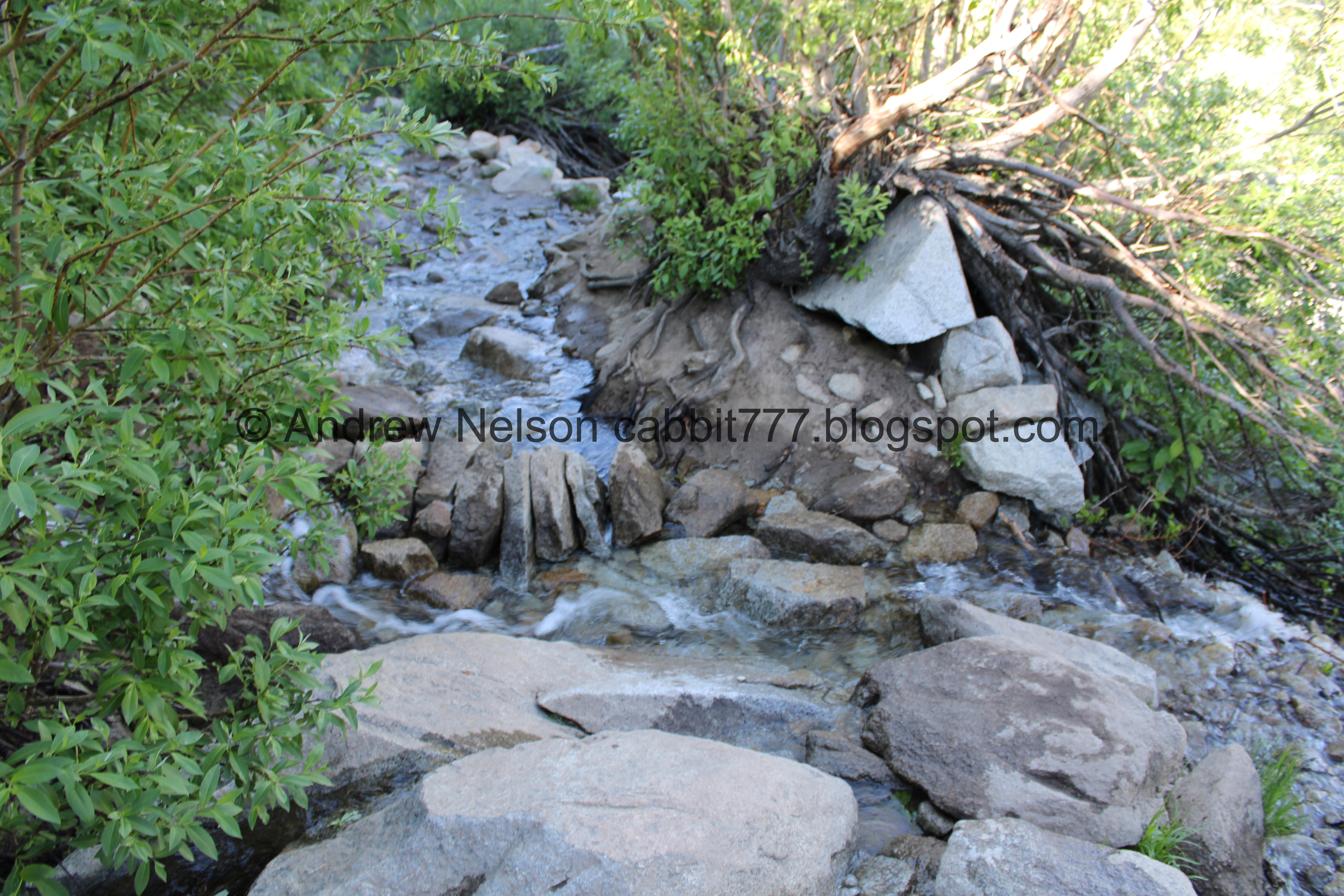
We found a small waterfall.

Heading down.

Pretty forest.

Back down to the bridge across the creek.

Downstream.

We decided to add the short add on to Dog Lake. Not to be confused with the nearby Dog Lake.

You want to take the right fork. Left leads to Clayton Peak.

It’s pretty back here.
BTW, I recommend taking some time to reapply bug spray. For whatever reason the bugs are really bad back here.

Another trail counter. Seriously, almost every trail! This one seems to be run by Utah State University.

Crossing the creek. There are well placed stones and a log to help you across.

I imagine that is Clayton Peak.

Wallflowers.

Clayton Peak again.

First glimpse of Dog Lake.

With Clayton Peak.

A bunch of corn lilies coming up.

The thin trail across the meadow.

Short muddy section.

Dog Lake. It’s not a big lake, but it is pretty.
.jpg)
Panoramic. The wetlands around it seem bigger than before.

Clayton Peak again. Alright, the bugs are driving me nuts, time to head on back.

Some up and coming lupine.

There is a trail around the lake if you feel so inclined. I’ve done it, and its pretty but, the bugs are a bit much right now.

Pretty hillside.

Some bluebells amongst some upcoming corn lilies.

More pretty forest.

The creek.

More forest.

Back to the creek crossing.

Back to the main trail.

More snow. I threw a quick snowball at Landis cause its fun to say I did that in July.

Looking across the canyon.

I am pretty sure that is Guardsman Pass.

More forest.


Continuing down.

Rainbow sheen on the water. I’ve learned that this is likely due to decaying organic matter.

Water crossing the trail.

Back to the big boulder.

Again, I think these might be some kind of buttercup.


Columbines.

More forest.

Pot gut.

View across the canyon again.

Somewhat rocky trail.

More columbines.

Mount Millicent again.

Back down to my “dinosaur” rock. It really does look like a dinosaur with a mouth full of plants.

View across canyon towards Scott Hill again.

Another columbine.

A very dusty paintbrush.


Elkweed.

Scott Hill again.


Another elkweed.

Penstemon.

More forest.

The blue columbine again.

Unopened columbine look like freaky alien pods.

Back down to the main lodge. As we were hiking up there was a concert playing, and beer was being served. We thought about having a beer before the hike, but then decided that is probably a bad idea but thought we’d have one afterwards. Unfortunately the event was done.

Potguts looking for crumbs.

The back side of the sign seems to change every year.

The waterfall coming out of Twin Lakes has simmered down a bit compared to 2 weeks ago.

Looking back at the Brighton Village.

Scott Hill on the way down the canyon (PSP).


Super green up here (PSP).

I am not sure, but it seems there are 2 construction areas now (PSP). As I mentioned, they have it suspended for the weekend.

Nearing the mouth of the canyon (PSP).

View of Downtown of in the distance (PSP). We decided to continue down 7200 South in an attempt to find dinner.
We ended up at The Bohemian and it was a bit pricey but, OMG the beef stroganoff was absolutely to die for. 2nd best I have ever had.
Well, this hike is a little bit on the tougher end for a shorter adventure, but it is absolutely stunning the entire way and is a particularly scenic lake. The wildflowers are just getting started but they were fantastic today as well. Its a little bit busier trail, but it wasn’t too bad today. The beginning is quite exposed, but there are spots of shades so it’s not too bad. 9 out of 10 squirrels today.
As for difficulty, there is quite the climb, and a bit of exposed areas going with a DR4 today.
Dogs are not allowed in the canyon, so be sure to leave Fido home.

No comments:
Post a Comment