Ghost falls is a small waterfall within Corner Canyon in Draper. The trail features the waterfall, a creek, some beautiful forest, and some views. I was wanting to go up into the mountains today, but was not in the mood to deal with snow so, this is a good compromise. It’s a little bit up there, but not high enough for snow yet. There are several ways to get to the falls, but this is my preferred route. This is another trail we do fairly often.
Bonus: Please help me celebrate my 800th post! Wow, I didn't realize I had gotten up there, but here we are.
Quick Details:
Length: It is about 1.5 miles to the waterfall, with some additional exploring we did 3.48 out and back.
Trail Type: Out and back, balloon and loop options.
Difficulty: DR3.
Elevation Gain: About 750 feet.
Restroom: Yes, flush toilets and running water even.
Dogs? No. Dogs are not allowed above the Bonneville Shoreline Trail (BST) here.
Other Info: They strongly ask to not use the trail if it is muddy. If you can feel yourself sinking in, and/or are starting to collect mud on your shoes you are damaging the trail and should turn around. It’s wise to have a backup plan if there was a recent storm.
Also: There is a huge web of trails in this canyon. I recommend printing out the map, or having it available on your phone, particularly if it is your first time. Here is the 2023 version of the map, but I think they archive it every year, so you might have to google it.
To Get Here:
There are a few trailheads to access this canyon. Today we will use the Coyote Hollow Trailhead.
Take i15 to 14600 south in Draper and head east. Turn right on Traverse Ridge Rd. Turn Left on Mike Weir Dr. Turn right on Pinion Hill Ln. an immediate right on Canyon Vista Dr. An immediate left on Gray Fox Dr. and an immediate right onto Cayote Hollow Ct. Take that to the end to the Coyote Hollow Trailhead.
The benches on Steep Mountain (Passenger Seat Photography (PSP)).
Red Rock (PSP). I have been meaning to hike up to that and check it out, but just haven’t managed to yet. Maybe this will be the year.
Some pretty color left (PSP).
I love the signs in the parking lot for us hikers.
The Trail:
Trailhead kiosk.
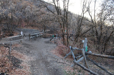
Almost immediately you will hit the first of many trail splits. You wanna hang a left here. It is a big mess of mixed-use trails, but the signage is pretty good, you want to follow signs for Canyon Hollow.
Before long you will come to the next split. Here you will hang right, again following signs for Canyon Hollow.
Into the woods.
Another trail split. Right again.
View of Lower Corner Canyon.
The Corner Canyon Crossroads below.
The Silica Pit.
It looks like it suffered some damage recently. Probably the rough winter we had. The creek did flood this spring.
I love the streaks of color in it.
Looking back at the main wall.
More forest.
View down again.
Box Elder Peak just peeking up over the mountains.
The other side of the canyon.
Little side canyon.
Another trail split. Again, keep right.
The leaves are mostly dead and dried out, but there are still a few patches of color.
Little side creek. I am pretty sure this is the first time we have seen it flowing.
Memorial Cove. It is about 3/4 of a mile up. We will explore it on the way down.
The little creek coming out of it again.
Continuing along.
There are 2 parts of the trail that make my fear of heights twinge just a bit, but its more freaking out over what might be coming and when I get there it isn’t as bad as it thought it might be. So, I am not going to tag that trigger today. It is weird the way the lizard brain works sometimes.
Looking down canyon again. I am pretty sure this is the corner of Corner Canyon.
Squirrel!
Eventually the Canyon Hollow trail merges with the Lower Corner Canyon Road.
Continuing up the road.
This first signed turn of for Ghost Falls will get you there, but it is not my favorite route, I prefer to go to the next one.
Continuing along the old dirt road.
Again, following signs for the Canyon Hollow trail to the left. You can shave a little bit off of the hike by staying on the old dirt road to the right, but I don’t think it is as pretty.
Back into the woods.
The creek below.
Leaf littered trail.
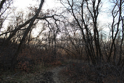
More forest.
The first of 5 bridges.
It is over a pretty deep chasm.
The chasm again.
Back to the road again. The trail dips into the woods again, but you can shave a little more off by staying on the road if you want.
More forest.
Bridge #2.
Also over the deep chasm.
Downhill.
Another spot that makes me twinge, but it’s not so bad.
More forest.
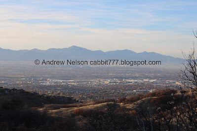
The valley below.
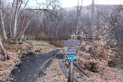
Another reminder to not use the trail if it is muddy.
The other side of the canyon again.
The final trail split you really need, the sign is a little bit obscured, but you want to hang a left here.
Continuing along.
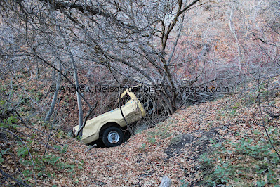
One of a few car wrecks in the canyon.
Another one.
The creek again.
Of all the random debris to find in a canyon, a bathtub?
More forest.
Bridge #3. Almost there.
This side creek is flowing today as well.
Bridge #4.
This side stream has always been pretty active. I love the little cascades below the upper bridge.
Another trail split. You will want to go left here.
I didn’t get a shot of bridge #5, but it is at the base of Ghost Falls.
The view from the bridge is kind of … meh today.
I love the new Welcome to Ghost Falls sign.
Oh, by the way, I didn’t get a shot of it today, but there are signs warning of poison ivy in the area. So you know, watch what you touch.
It is kind of interesting, of all the exploring we do, this is the only place we have seen warnings for it.
The foliage was not my friend today.
Eventually we found a good vantage to see the waterfall. It’s little, but still neat.
Longer exposure.
Downstream.
Fun little plunge.
The waterfall again.
Closer.
From the side.
Cliffs above.
There is a spot that you can scramble up to the top, but there’s not much to it.
The creek.
With the waterfall.
Oh, I did get a picture of the 5th bridge. You can either go back down the way you came, or make it a loop and go down the other side. It's a bit sketchy though.
One last look at the waterfall.
There is also a trailhead at the top of the canyon that leads here. I haven’t done that yet, but have been meaning to. You want to use the lower bridge to the right to get back down.
Back to the 4th bridge.
The little waterfall under the upper bridge.
The woods.
The 3rd bridge.
Little side creek.
Bathtub and car door.
The creek.
Back to the blue truck.
Better.
Back to the yellow truck.
There is a short trail out to this one.
This one is resting in the creek.
Back on the trail.
More forest.
Little bit of color.
View down again.
More color.
View down again.
More color.
The 2nd bridge.
The deep gorge.
The 1st bridge again.
More forest.
Back to the old road.
The creek again.
Its so clear.
Back to where the Canyon Hollow Trail splits of from the Lower Corner Canyon Road. Both will get you back to the trailhead. We opted to go back the way we came.
The corner of Corner Canyon.
Little bit of color left.
More forest.
Back to Memorial Cove. We decided to check it out again, cause it’s neat and short.
Stone steps at the entrance.
The cove.
I call this The Witches Bridge. It’s just a regular bridge with branches for handrails, but it looks kind of spooky, so that’s what I call it.
Little closer.
More stone steps.
The bridge with the side stream flowing underneath.
The bridge looks more normal from above.
Downstream.
Upstream.
Random lean-to structure.
The memorial of Memorial Cove is dedicated to Thomas Whipple He was a big outdoorsman and a member of the Draper Parks and Trails Committee.
The trail goes up just a bit higher, but there isn’t much left to the short side trail, so we headed on back.
Back to the bridge.
From below again.
Leaf littered trail.
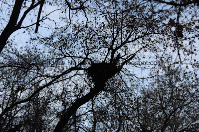
Big nest.
Back to the stone steps at the entrance.
The little side stream again.
Back on the main trail.
The side stream again.
The other side of the canyon. Something up there has caught the sunlight. I'm guessing a sign.
More forest.
Found a small patch of ice. This picture kind of looks like the trail is muddy, other this this tiny spot it was not.
A mess of trails here. Be sure to watch the signs to ensure you don’t end up on a fast downhill bike trail. You want to do the left middle trail here.
The valley below. If you look closely you can see The Claw by the aquarium.
Zoomed in a bit.
Across the canyon looking at Burnham Gorge again.
Back to the Silica Pit.
Bands of color.
The Silica Pit again.
I am kind of surprised to still see some flowers hanging on.
The Corner Canyon Crossroads below again.
More forest.
Some more color.
More forest. We often run across deer through here, but not today.
Almost back to the trailhead.
I love these ‘There is no “poop fairy”’ signs.
The Coyote Hollow Foot Path.
The hills above the parking lot. You can actually take the BST and connect to Potato Hill from here.
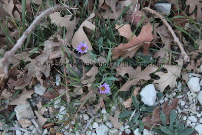
Another flower hanging on.
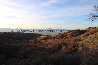
Passing by the Draper Temple on the way out (PSP).
The valley below (PSP).
A pretty decent sunset on the way to dinner (PSP).
That ended up being a fun adventure! I was surprised to see as much water in the falls as there was. We ran across a few people, but not too bad and the mountain bikers were all very nice and cautious around us (as they are supposed to, but its still nice). I’m going with 9 out of 10 squirrels today.
As for difficulty, it is not a bad climb at all. DR3.
Dogs are not allowed above the BST so be sure to leave Fido home for this one.
.jpg)


















No comments:
Post a Comment