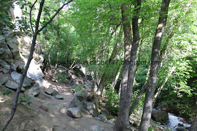
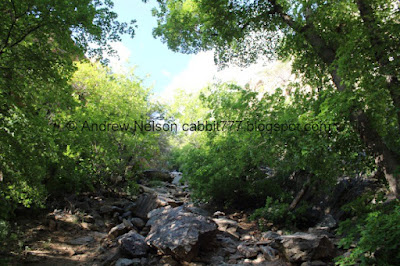
Rocky Mouth Falls is a pretty waterfall located in Sandy. The short trail features a nice forest, wildflowers, a creek, and well the awesome waterfall. It is a super short trail and great to do ass an add-on or as just a quick trail after work sometime. We decided to add it on after doing Alien Tower cause I wanted a waterfall. It is a trail we do quite often, but hey it's a short hike up to a pretty waterfall.
Quick Details:
Length: It is about 3/4 of a mile out and back.
Trail Type: Out and back.
Difficulty: It is short, but a little steep. DR3.
Elevation Gain: About 400 feet.
Restroom: No. There is one to the south at Hidden Valley Park or to the north at the Bell Canyon Preservation Trailhead.
Dogs? No. This is watershed.
Other Info:
To Get Here:
Take i15 to 90th south in Sandy. Follow that east to Wasatch Blvd, turn right. Go about 2 miles and you will see the trailhead parking on the left.
The Trail:
Trailhead marker.
Trail signs.
The first stairs of doom.
At the top of the stairs there is a sign directing you to the right.
Then we have to walk through this neighborhood for a bit.
Rocky Mouth Canyon.
This house looks to be almost done finally. I swear it’s been under construction for at least 2 years.
Another sign directing you to the trailhead.
The canyon again.
The Bonneville Shoreline Trail (BST) as it works its way from here south to Big Willow Canyon.
Before long we it it to the original trailhead, which is just after the main road switchbacks.
The second stairs of doom.
It’s been a very, very long time, but I remember this trail before they put these in. I've been hiking this trail for close to 30 years.
Mules ears?
A bunch of them.
After the stairs you get a short break from the climb.
The valley below. Yuck it is getting quite hazy.
Trail split. Left will lead to the falls, right is the BST heading south toward Big Willow Canyon.
Some phlox.
The mouth of the canyon.
The creek.
Lovely little wooded section.
The first of 2 little caves.
The creek again.
First glimpse of the waterfall through the trees.
The water is coming down the trail. Your feet will get wet.
More water coming down the trail.
The waterfall above and the lower cascade that has fanned out across the trail.
The waterfall. Woo it is really gushing.
Again.
Moved in a little closer.
Again.
Looking downstream.
The lower tier.
The main waterfall again.
Again.
Vertical panoramic.
Downstream again.
The top of the waterfall, and seeing it in the deep recess it is in.
Downstream again.
Side rockfall that you can climb up. I haven’t done it in years though as it is quite the scramble.
Well, that was fun but we decided to head on back.
The lower cascade again.
Again.
The upper cave. We decided to scramble up and check it out.
I believe it is an old mine that they have bricked up.
Continuing down the flooded trail.
The creek below.
Again.
Again.
The lower cave again.
The creek again.
More forest.
The valley haze again.
More mules ears.
Back to the upper stairs of doom.
Back to the neighborhood.
The lower stairs of doom.
Back down to the parking lot.
The smoky valley (Passenger Seat Photography (PSP)).
Well, that was a fun add on. It was busy, as I expected, but most people were being courteous today. I love the waterfall when it is really gushing like it was today. I typically give this short trail a perfect rating but I am going to remove one due to crowds. 9 out of 10 squirrels.
As for difficulty, it is super short, but is a bit of a steep climb. DR3.
Dogs are not allowed due to watershed restrictions. Be sure to leave Fido home.
.jpg)


.jpg)


No comments:
Post a Comment