.jpg)
Cecret Lake is a stunning high alpine lake located in Little Cottonwood Canyon. The easy trail features a beautiful mixed forest, wildflowers, wildlife, amazing peaks and of course a stunning turquoise lake. When the Summer Road is open it is only about 8/10’s of a mile to the lake, plus whatever exploring you decide to do. If the Summer Road is not open, or if you don’t want to pay to use it, you can still reach it, but that will add about 1.5 miles each way across the Albion Meadows from the Albion Base.
After our wildflower filled adventure on Friday we decided to come up and see how the flowers were looking at Alta, and unfortunately they were not quite going just yet. So we decided to visit Cecret Lake again since it has been over a year and it wasn’t crazy busy up here. It is a trail we do often, but as I mentioned we skipped it last year.

Quick Details:
Length: It is about 1.6 miles out and back from the main TH. 4.6 out and back from the Albion Base. Plus whatever exploring you do.
Trail Type: Out and Back, Lollypop, or loop.
Difficulty: From the upper TH it is short, and pretty easy going DR3.
Elevation Gain: About 500 feet.
Restroom: Yes, there are vault toilets at the upper TH, and flush toilets at the lower TH.
Dogs? No. Little Cottonwood Canyon is watershed.
Other Info: There is a fee to use the Summer Road. As of 2024 it is $12.00.
To Get Here:
Drive to the very top of Little Cottonwood Canyon. Stop at the fee station and pay the fee, then continue 2 miles up the Summer Road all the way to the last parking area next to the Albion Basin Campground.

The mouth of Little Cottonwood Canyon (Passenger Seat Photography (PSP)).

Heading up the canyon (PSP).

One of the few ephemeral waterfalls in the canyon (PSP).

I still haven’t figure out what this waterfall is called, and if there is a way to get to it (PSP).

Damaged trees from the avalanches last year (PSP).

The fee station at the top (PSP).

The start of the Summer Road (PSP). It is not paved, but is well groomed, so pretty much any car should be able to make it.


Continuing up the Summer Road (PSP).

Devils Castle and Sugarloaf Peak (PSP).

More of the Summer Road (PSP).

As far as unpaved, high mountain roads go, this one isn’t so bad (PSP). This is really the only part that kind of freaks me out, just below the Catherine Pass Trailhead.

The Catherine Pass Trailhead (PSP).

Nearing the top above the Albion Meadows (PSP).

The Albion Meadows are just green right now (PSP). The wildflowers have not come in just yet sadly.

The final push (PSP).
The Trail:

Paintbrush.

Western cone flower.

The Cecret Lake parking lot. Look for the big flag for the trail. To the right of the little store.

Forget me nots.

Fancy new trailhead kiosk. This wasn’t here last time we were here.

Bridge over Little Cottonwood Creek.

Downstream.

Upstream.

The old trailhead kiosk. I have no idea where they got 4/10ths of a mile! The trail had to have been rerouted at some point to get that number.

Heading up the trail.

Side stream.

Even without the wildflowers it is super pretty up here!

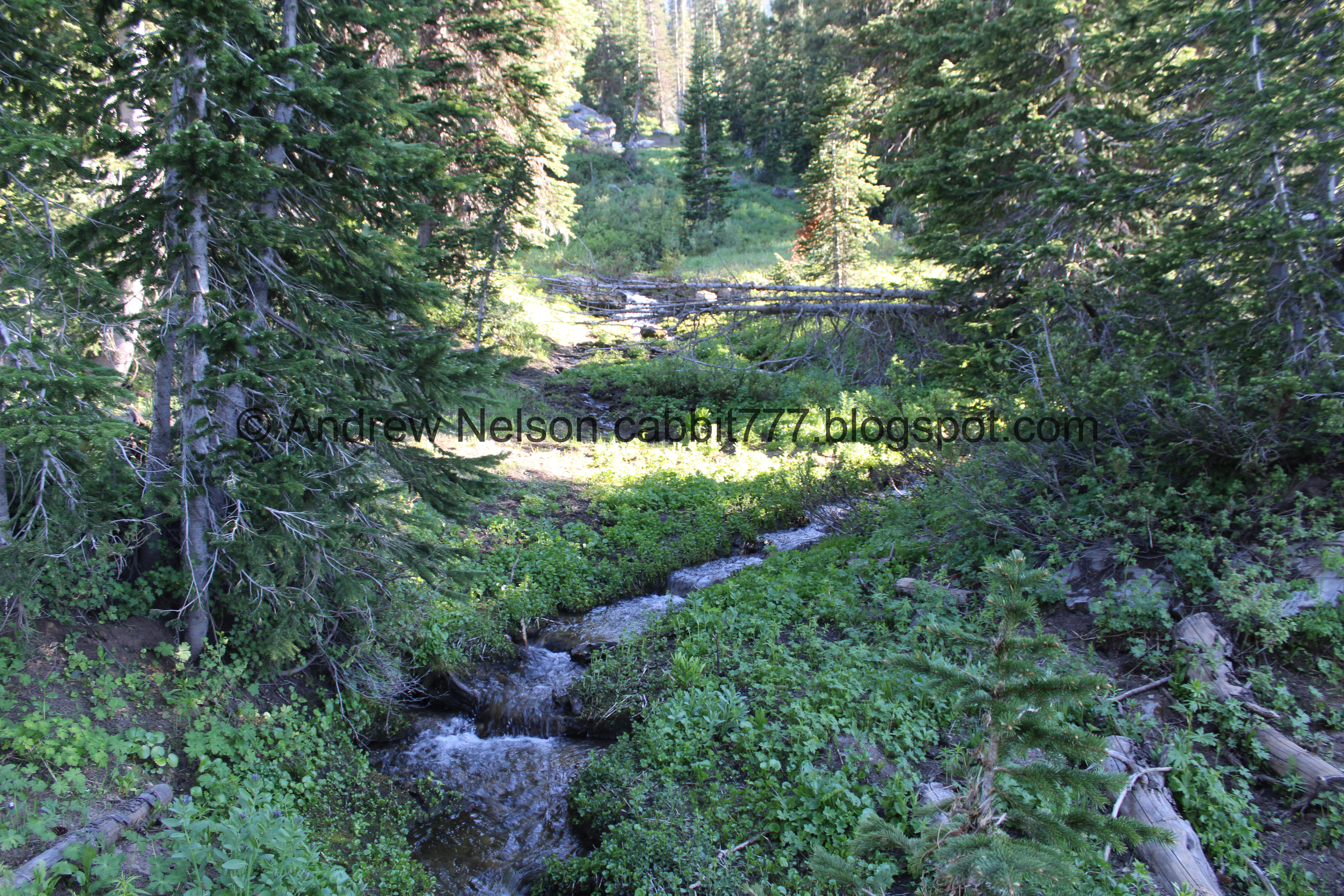
First side stream crossing.

Upstream.

They have updated all of the informative signs up here.

Sugarloaf Peak.

Little patch of buttercups.

Lots and lots of forget me nots.

Devils Castle.

Another side stream.

Another one of the updated signs. The info about fossils up here is new!

Devils Castle again.

Second side stream crossing.

Devils Castle with the side stream.

Devils Castle with the boulders that came down from it.

One of the big boulders.

The third stream crossing, this one is a little tougher to figure out to cross without getting your shoes wet, but it is manageable.

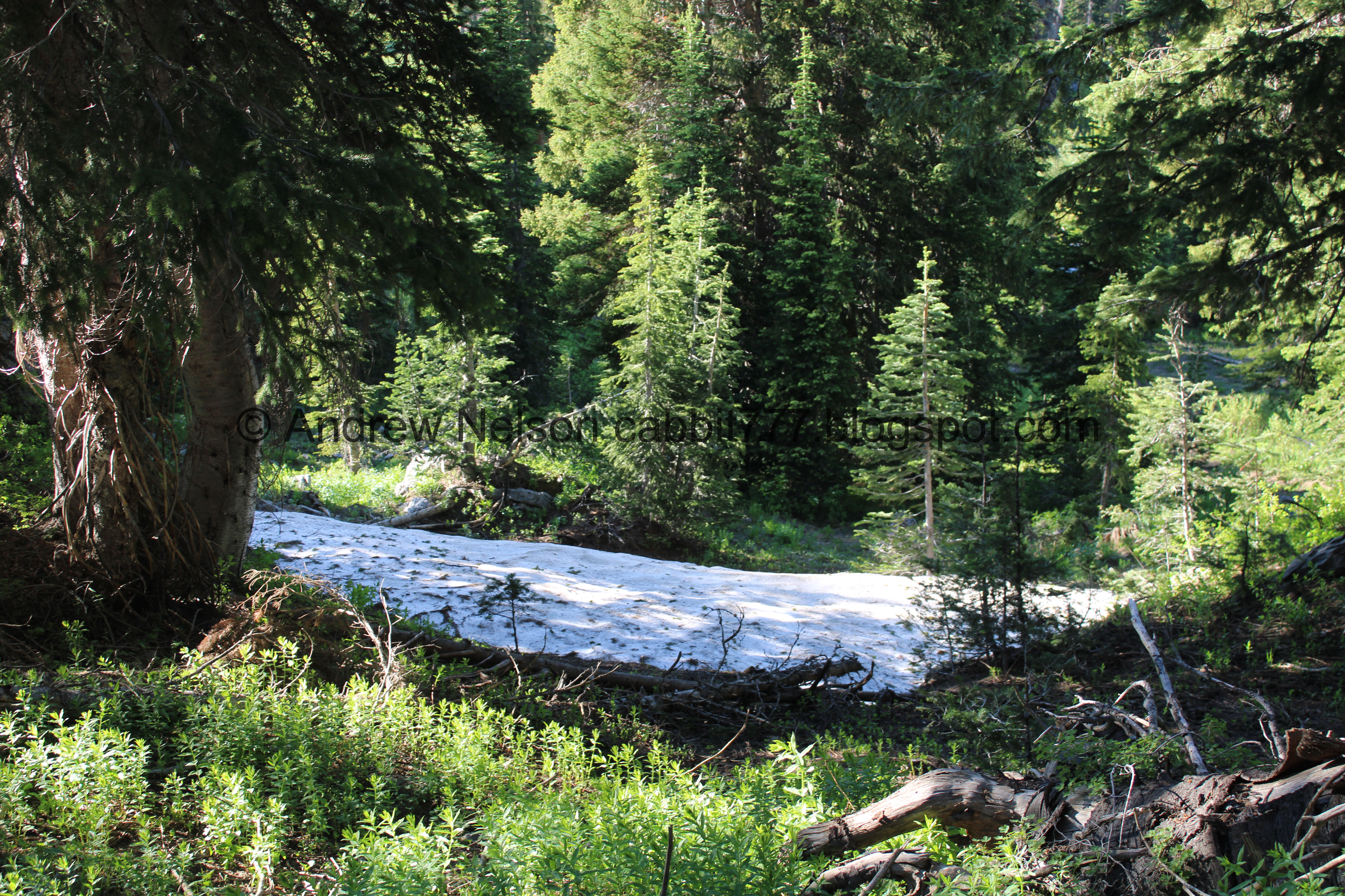
Patch of snow.

Trail split, follow the sign and go left. Right leads to some private cabins.

Clever sign about leaving the wildflowers alone.

Sugarloaf Peak.

Devils Castle.
.jpg)
Panoramic with them both.

Devils Castle again.

Another new sign. This one is about the wildflowers.

The fourth stream crossing.

Looking back towards Catherine Pass.

Hitting another patch of forest.

With Devils Castle.

Sign about the wildlife.

The fifth crossing. This is about where the real climb starts.


Glacier scrapes.

Little side stream.

Devils Castle again.


The rocky climb up.

Found a larkspur.

The waterfall coming out of the lake and a large patch of snow.

More rocky climbing. Oi.

Pot gut squirrel.

The waterfall again.

The pot gut prairie doggin.

Boulders.

Devils Castle.

More glacier scrapes.

The switchback up the hill. The lake is just on the other side of them.

It takes a drop of water from here 24 hours to reach your faucet. Crazy! This new sign replaced one that also identified the surrounding peaks.

The upcoming switch backs. Oi.
.jpg)
Mount Tuscarora, Catherine Pass, Point Supreme, East Castle, Devils Castle, Sugarloaf Peak.

Starting the switchbacks.

Wallflower.

The first switchback and some mine tailings.

Catherine Pass again.

Mine Tailings.

Old mine.

Continuing up the first switchback.

Some rocks have come down onto the trail, but its still easy to navigate.

Usually there are rock climbers on this rock face.

The second switchback.

I struggle a little with my fear of heights on this switchback, but I can power through it.

The end of the second switchback is the worst part for me.

Then the third switchback isn’t so bad.

All of the switchbacks are pretty rocky.

The last push to the lake, which moves you away from the steeper hillside.

Final push.

Very clear sign, yet, assholes don’t care.

Cecret Lake with Sugarloaf Peak. Super pretty.
.jpg)
Panoramic.

Penstemon.

New sign, mostly about it being the headwaters of Little Cottonwood Creek, and our drinking water.

The lake again. We often like to circumnavigate it, however that big snow field at the back does not look particularly promising.
.jpg)
Another panoramic.
.jpg)
Another.

Tiger salamanders.
According to the sign, most tiger salamanders morph into their adult form and move to land, however the ones here have few predators, and super clean water, so they spend most of their lives in their larval form in the lake.

Coming up for air.

The lake again.
.jpg)
Another panoramic.

Fun rock outcrop.

The lake with Sugarloaf Peak.

With Devils Castle.
.jpg)
Another panoramic.

White flowers.

Penstemon.

Big scree field at the back of the lake.

Little stream.

We were hearing the weirdest noise and had to climb up high enough for the sun to go behind the ridge before we could see this little trickle of water splashing on the rocks below. Fun.

The stream flowing over big boulders then down the hillside.

Sugarloaf Peak looks weird from this angle. We have never come up this hillside before.

Devils Castle.

The little trickle.

Looking back towards the lake.

Corn lilies.

Again, the sound brought our attention to this, but there is a little waterfall in an alcove flowing into the lake. Neat!

Digital crop to show it better.
Back down to the lake we decided to explore a little bit more of the back section.

Crossing the little stream.

Buttercups.

Sugarloaf Peak.

Looking towards the front of the lake.
.jpg)
Panoramic.

I did not want to risk slipping a sliding down the snow bank into the lake, so we didn’t go much further.

Marmot!

It is fun to watch them climb over the rocks.

Sugarloaf Peak and some cliffs. Well this was fun but we decided to head back towards the front.

The lake again.
.jpg)
Another panoramic.

Getting some nice reflection.

The little alcove waterfall again.

Sugarloaf Peak again.

The lake again.

The lake and Devils Castle.

The lake again.

Devils Castle.
.jpg)
Another panoramic.

Devils Castle.

Flowers.
.jpg)
Another panoramic.

Boulders.

Sugarloaf Peak above the lake.
.jpg)
Another panoramic.

Kind of creepy looking rock under the clear water.

Salamander.

Nice clear water with a couple salamanders.

The lake again.


More salamanders.
You know, I have yet to see an adult one in the wild. I have only seen adult ones at the Loveland Living Planet Aquarium. Or other species in different states. Another fun fact: Tiger salamanders are the only species of salamander in Utah.

We made our way over to the recently updated dam. They redid it just a few years ago.


Found a crack with a bunch of salamanders.

They are so fun!


They are related to axolotls so while in the larval stage they have similar gills that make them look like dragons.

Back to the little pile of them.

Some big ones.

The dam again.

The waterfall coming out of the lake.

The lake again.
Well, it was fun, but there were some free range children driving me crazy so it was time to leave.

Catherine Pass across the basin. It might be time to revisit that trail.
.jpg)
Because there have not been enough panoramics today.

Heading down the switchbacks.

The middle switchback.

The lower switchback.

Little rockslide hazard, again, it was easy to navigate around.

The little mine.

A bunch of wallflowers.

Devils Castle.

Glacier scrapes.

Sugarloaf Peak.

Devils Castle.

With a little stream.

More glacier scrapes.

Back to the fifth crossing. I should mention that as the run off starts calming down, some of these side streams dry up.

Big pile of snow.

The fourth stream crossing.

Devils Castle. I am quite fond of this neat peak, if that isn’t obvious.

Forget me nots.

The third crossing. We are going to bypass the next two by taking an alternate route down, in an attempt to find a moose. Well, maybe not really bypass, just cross at different spots.

Devils Castle again.

Our bypass route down. This is a much less popular route, however it is on the official map.

More snow.

Pretty forest and more boulders that came down from Devils Castle.

Fallen trees.

Tree growing around a boulder.
Big patch of snow.

Pretty forest.

More forest, plus following some snow melt down.

Pretty little cascade.

With the stream.

Little bridge over the stream.
Upstream.

Downstream.

More forest.

Neat giant split boulder.

Spring.

Lower pool. I am not sure if it is a separate spring, or just overflow from the upper pool.

Both pools with Sugarloaf Peak.

Corn lilies.

Sugarloaf Peak.

Side stream.
The detour we used took us to the lower, overflow parking lot.

Devils Castle from between both parking lots.

The sign for the Albion Basin Campground.

Found another columbine.

Some more buttercups.

The parking lot with the peaks above.

Heading back down the Summer Road (PSP).

We didn’t have anybody behind us so we stopped briefly to get a shot of these white firecrackers.

The Catherine Pass Trailhead (PSP).

Our marmot friend is still hanging around (PSP). That or another one took up about the same spot.

I think they are cute (PSP).

Continuing down (PSP).

We found another one (PSP). Apparently it was marmot day today.

We still didn’t have anybody behind us so we briefly stopped to enjoy the cute guy.

Prairie doggin.

So cute.

Hello buddy!

Okay, bye! (PSP).

Continuing down the Summer Road (PSP).

View down the canyon (PSP).

The road with Devils Castle and Sugarloaf Peak (PSP).

Back down to the fee station and the main canyon road (PSP).

View down canyon (PSP).

Well hello there (PSP).

Thanks for not darting out in front of us (PSP).

Snowmelt waterfall (PSP).

Heading down the canyon (PSP).

I love this particular view of the perfect U shaped canyon (PSP).

Little better (PSP).

Continuing down (PSP).

Nearing the mouth of the canyon (PSP).
That was a fun adventure! Cecret Lake is absolutely just jawdroppingly beautiful! Plus the wildlife today was fun. It was not as crowded as I have seen it before, but it was definitely crowded. So as much as I enjoy this hike, and and taking a squirrel for that. 9 out of 10 squirrels.
As for difficulty, there is a bit of a climb at the end, but it’s not too bad. DR3.
Dogs are not allowed in Little Cottonwood Canyon due to watershed restrictions. So be sure to leave Fido at home for this one.

No comments:
Post a Comment