.jpg)
Devils Castle Loop is an absolutely amazing trail that takes you along the base of the scenic Devils Castle located in Albion Basin at the top of Little Cottonwood Canyon. This scenic trail offers incredible views, beautiful mixed forest, wildflowers, wildlife, and a close up view of some amazing peaks. It also offers some nice serenity as the amazing trail is overshadowed by the nearby Cecret Lake Trail so it is practically deserted. This is probably one of my absolute favorite trails so we tend to do it at least once each year.

Quick Details:
Length: It is about a 1.8 mile loop.
Trail Type: Loop.
Difficulty: There is a bit of a climb for the first half mile, but after that it is pretty easy. DR3.
Elevation Gain: About 460 feet.
Restroom: Yes, there are pit toilets at the TH and several more in the Albion Basin Campground.
Dogs? No. Little Cottonwood Canyon is watershed.
Other Info: There is a fee to use the Summer Road, $12.00 as of 2024. You can bypass that by adding about 1.5 miles (each way) from Albion Base.
To Get Here:
Drive to the top of Little cottonwood Canyon. Pay the fee to use the Summer Road, then continue up about 2 miles to the Cecret Lake Trailhead. It is unpaved, but well graded and pretty much any car should be able to make it up. From here you can start up towards Cecret Lake, or head up the campground road. I prefer the latter as it is easier to stay on the trail that way.

The mouth of Little Cottonwood Canyon (Passenger Seat Photography (PSP)). I love the perfect U shape.

Huh. The Granite Trailhead is closed (PSP). I wonder if they are fully removing it since the new, and better Bell Canyon Preservation Trailhead opened a few years ago. Or maybe they are just working on it. I guess we shall soon see.

Oh boy, some construction lights (PSP). We didn't wait too long, but we did opt to go down the other way after our hike.

Into the canyon (PSP).

One of the few ephemeral waterfalls (PSP).

More pretty canyon (PSP).

The Snowbird Tram is going up (PSP).

There was a short line at the fee station today (PSP). I initially thought that word had gotten out and it was busy up there today, but hind sight, I think the person up front was just an oblivious yacker. It wasn’t too long of a wait.

Onto the Summer Road (PSP).

Super pretty up here (PSP).

Some bluebells or maybe forget me nots on this first switchback (PSP).

Devils Castle, Sugarloaf Peak, and Greeley Hill (PSP).


Continuing up the Sumer Road (PSP). As far as high elevation dirt roads go, this one is not so bad. The only part I don’t like is the part just below the Catherine Pass Trailhead.

The Catherine Pass Trailhead (PSP).

The Albion Meadows are still pretty barren (PSP). Though I can see a few larkspurs coming in.

The final push (PSP).

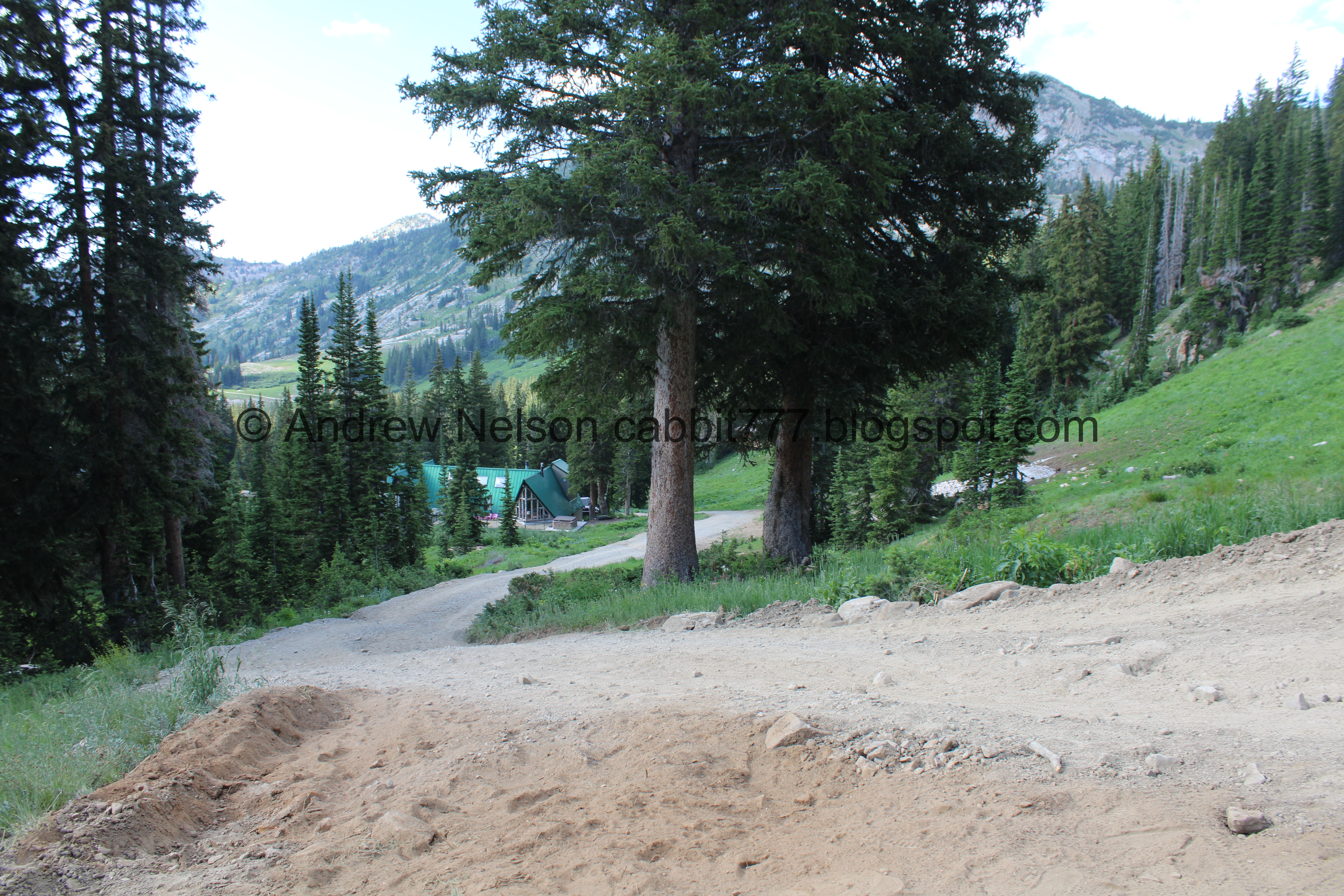
The Cecret Lake parking lot.

The moon.
The Trail:
As I mentioned you can start up the Cecret Lake Trail and hope you find the right turn off, or go up the Albion Basin Campground. I prefer to go up the campground as I find the trail much easier to follow that way. There is kind of a mess of trails on the other side and the one time we went up that way we did not end up doing the full loop.

Potgut playing in the firewood.

Heading up into the campground.

Little Cottonwood Creek.
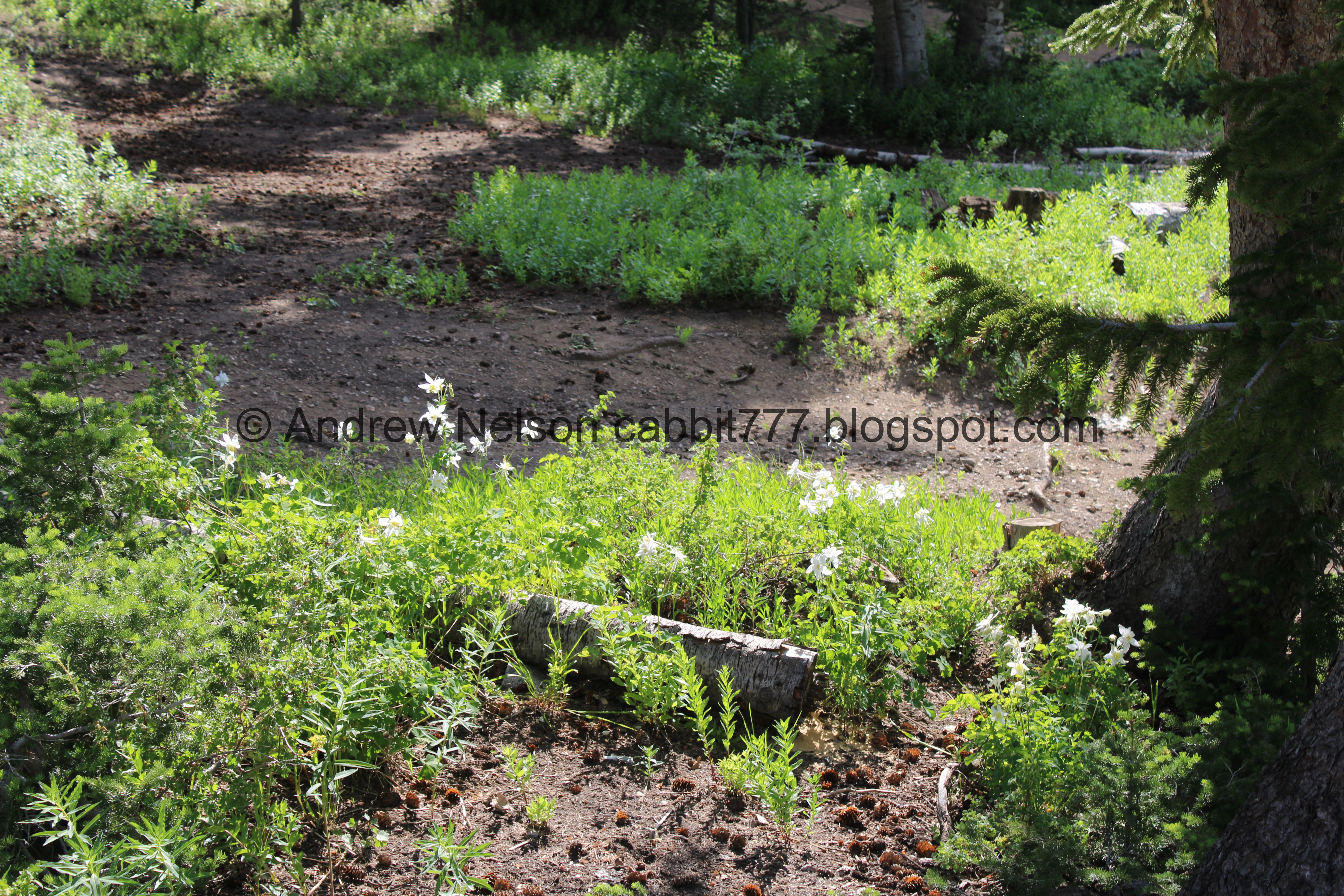
Woo! Lots of columbines.

Some blue columbines. I swear it feels so rare to come across blue ones.

Closer,

Continuing up the campground road.

The Supreme Ski Lift.

Paintbrush.

More of the campground road.


More paintbrush.

Another kind of paintbrush.


Just before the road swings to the left and crosses the creek again is the trail you want to take to the right.

Another trail split. I think both roads will get you there, but we always use the one on the right.

Bluebells.

This part is a bit steep. Oof.

Forget me nots.

Young bluebells are pink.

Lupine.

Forget me not lined stream. We will pass by this one again on the way down.

The little stream.

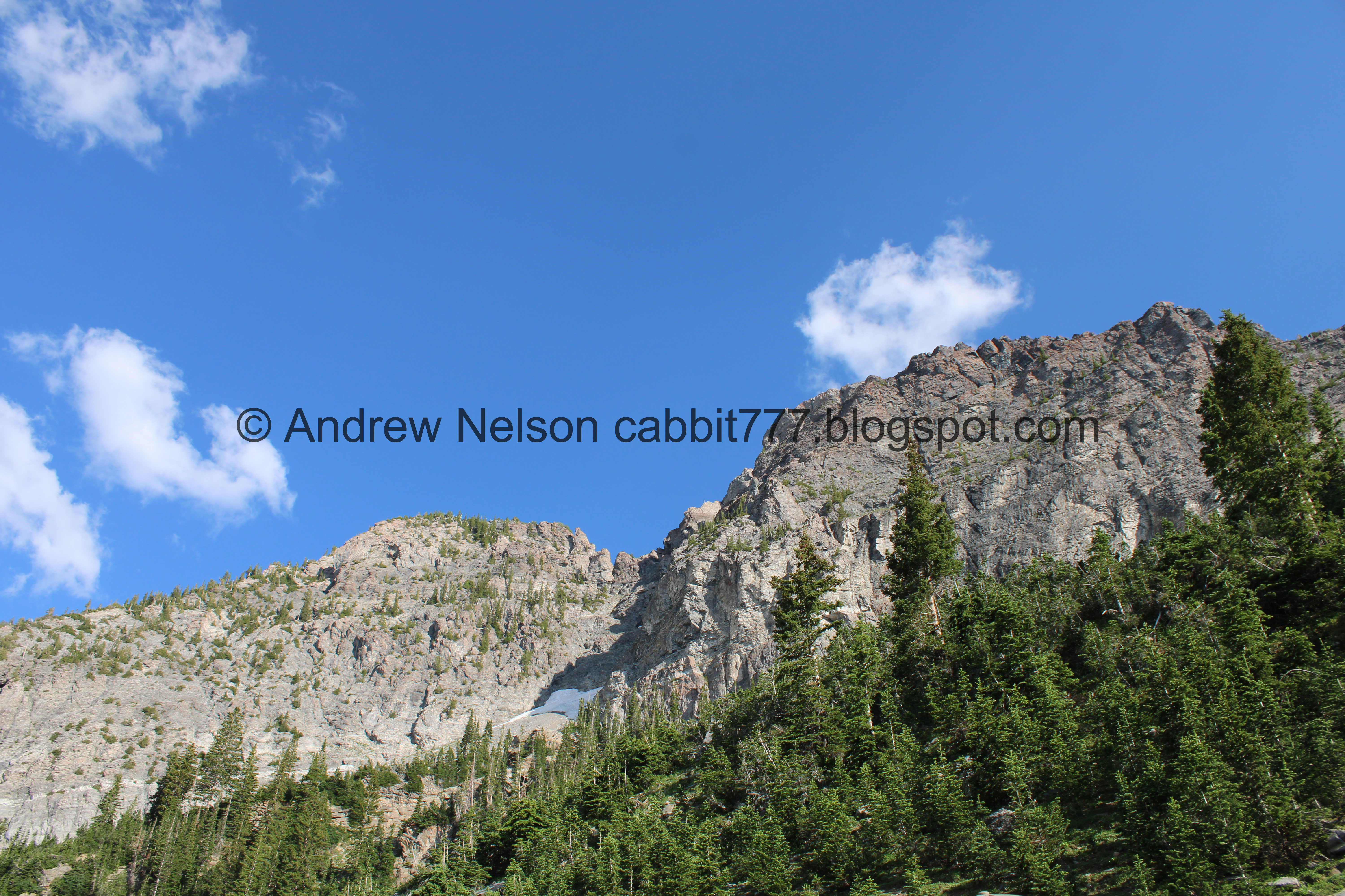
Starting to see Devils Castle pretty good. There will be lots of pictures of this peak in this post.

More lupine.

More columbines.

Starting to hit some cabins.

Some corn lilies that have yet to bloom.

The little side stream again.

Another split. You wanna hang left here.

Neat old snow cat.

More columbines.

Continuing up. Oi.

Big patch of snow hanging on.

Some buttercups.
It looks like the alternate road does connect up here, but it seems steeper. Maybe one day I will check it out, but I am kind of set in my ways.

Just after that, and about a half mile up is the side trail we need to take. It looks like they are doing some work up here.

Onto the side trail phew! There is a little bit more of a climb, but it is not as bad as the previous climb.

Columbine.

Paintbrush.

Another angle of the big patch of snow.

The climb is a bit more gradual now.


More paintbrush.

Either a downy or hairy woodpecker. I couldn't see it well enough to decide, however considering the elevation, I am leaning towards a hairy.

Devils Castle again. I really just love this peak!

More lupine.

Penstemon.

Some kind of mint, I think.


Paintbrush.

Devils Castle again.

Three big patches of snow.

More columbines.

Bluebells.

Columbine.

Super red paintbrush.

Devils Castle.

Really pretty trail.

Boulder field. These boulders have come down off of Devils Caste.

Devils Castle again.

Fun boulders.

It is seriously so dang pretty up here.

Columbines growing out of a stump.

Devils Castle again.

Boulders.

Super pretty.

Devils Castle again. It is a really pretty peak from anywhere you can see it, but it is really neat to get right up under it.

More pretty forest.

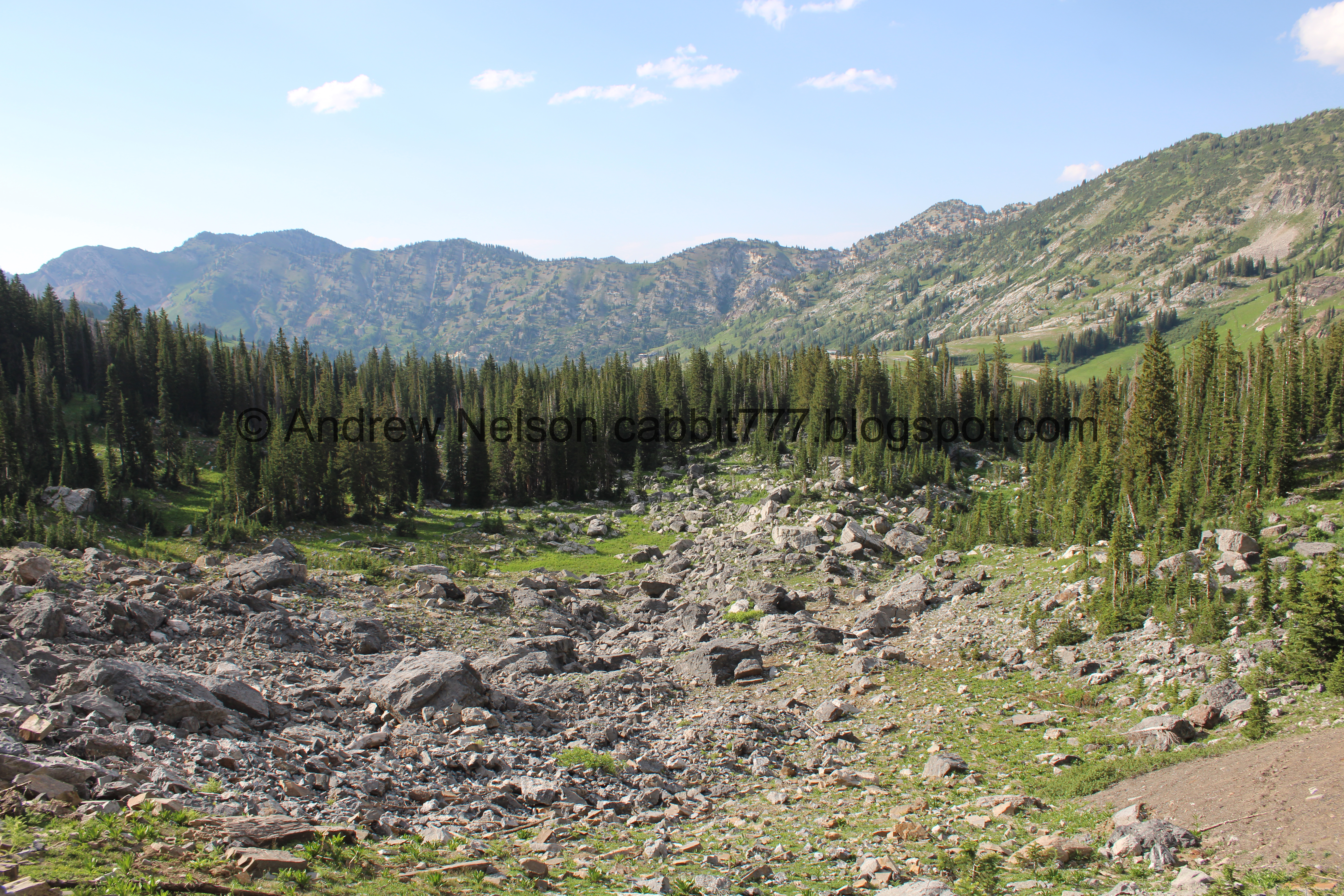
Getting close to the big scree field.

Columbine.

Mine tailings.

The trail across the scree field.

Lupine.

More.

Big patch of snow that is covering a mine.

The scree field below. This is the top of the trail. The rest will be downhill.
.jpg)
Panoramic.

The mine tailings again.

Lots of buttercups.

Old microwave reflector.

The view down again.

There is a nice little stone bench to sit on and enjoy the view.

Okay, we had our fun at the top, time to keep going.
The scree field.

The mine tailings again.

Crossing the scree field.
Normally we see loads of pikas and often a marmot or 2 here, but no such luck today. Well, I did briefly see a pika but it was gone before I got the camera up.

The scree field and Devils Castle.

Pretty white flowers.

The scree field again.

Approaching another pile of mine tailings.

The scree field again.

Parry’s primrose. I only ever see these on this trail.

Another.

Closer.

Another. They are really pretty flowers.

The trail through the 2nd mine tailings.
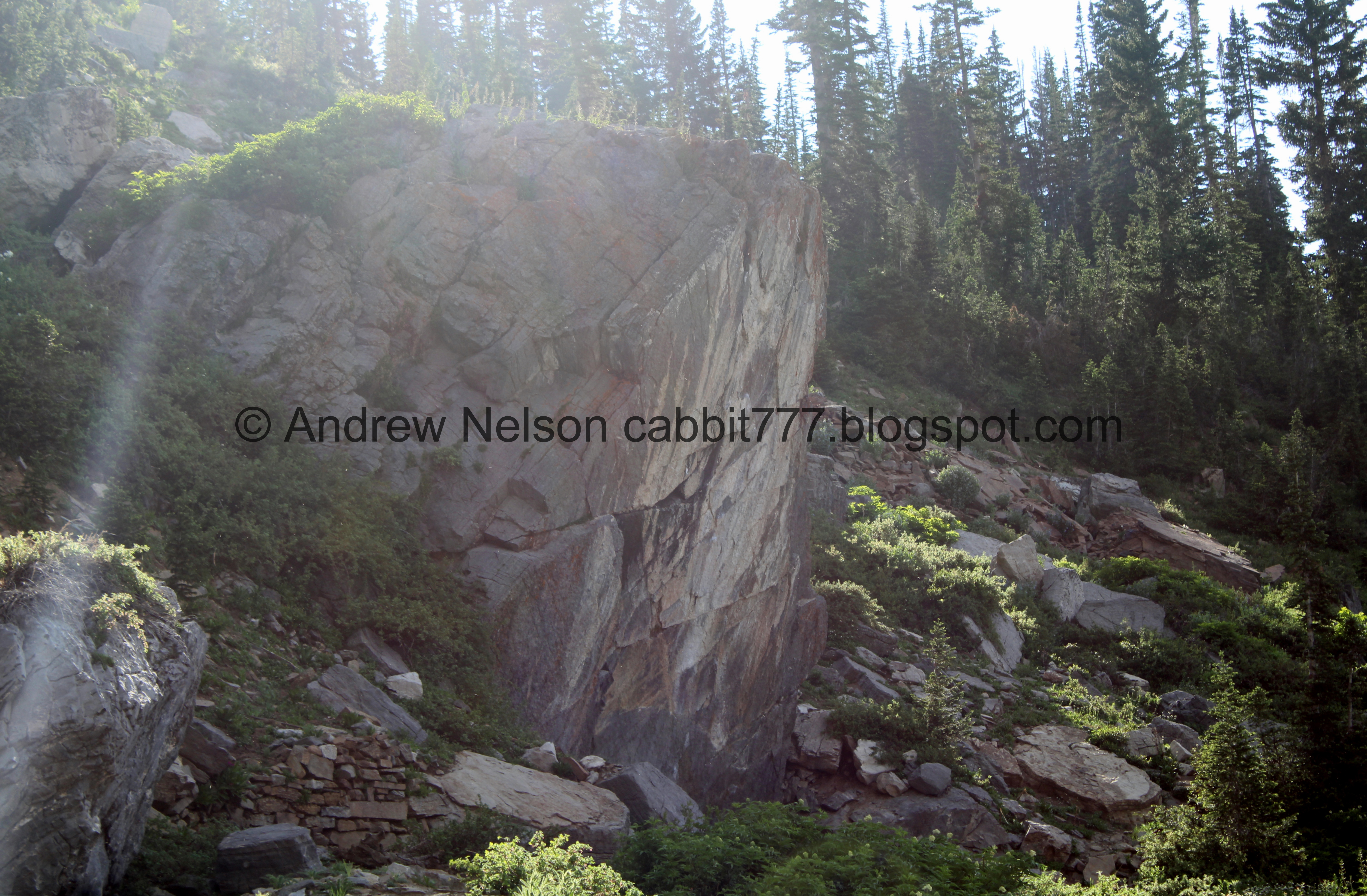
Big flat rock. There are often rock climbers on this, but none today.
Looking back towards Devils Castle.

Another big patch of snow.

The flat rock again.

Wallflowers.

The scree field.

Devils Castle again.

Back into the forest.

Forget me nots.

With a ladybug.

Paintbrush.

Devils Castle again.

Penstemon.

A younger one that is still quite purple.

More penstemon.

Pretty forest.

Fallen tree over the trail. This wasn’t here last time we did it. But it was pretty easy to duck under.

Snow pile we had to navigate over. It was a little slick, but not too bad.


More forest.

Paintbrush and forget me nots.

On the other side of the ridge we can see the switchbacks up to Cecret Lake, and hear the obnoxious cacophony from it. I love Cecret Lake, but it is very popular with families and children, and MOST parents do not teach their children to respect the quiet of the woods. We had the odd exception to that last week. Anyway, it's not noisy for very long. Soon you will be back in the quiet woods.

Another big patch of snow.

Melting down the trail.

Crazy broken fallen trees.

Another fallen tree across the trail. I ducked under it to the right. Landis was smarter and stepped over it to the left haha. We all have our derp moments.


Pretty forest.

A bunch of fallen trees.


Just enjoying the pretty forest.

Patch of snow.

One of the big springs.

Little bridge over the output.

Downstream.

The spring again.
.jpg)
With forest.

There is a messy web of trails down here so I am not 100% sure which is the correct way to go. But, I like going right here.

More forest.

More boulders.

Another big spring.

Well, hello friend!

Okay, bye!

Pretty forest.

More buttercups.

Another patch of snow. We ended up having to hoof it over it.

More forest.

Fallen tree. We had to carefully pick our way over it.

More forest.

Fun bent tree.

More boulders.

Yet another trail split. We went right. Hind site, I don't think that is the correct way as there was a trail closed sign on the other end. Whoops. But if they don't put a sign on this side of it I don't know! Well, I guess I know now, we'll go left next time.

Paintbrush.

Forget me nots.

Columbines.

More boulders.

Mountains across the way.

Devils Castle again.

Another little stream.

Upstream.

We had to cross it a few times.

More forest. And if you look closely you might see a friend I hadn’t noticed just yet.

Well hello mr porcupine!

He looks a little haggard, like possibly got into a fight with something recently.

Or maybe I just caught him at a bad angle.

Well that was a fun encounter, but he worked his way up into the bushes.

More forest.

I love this particular family tree. It appears to have fallen over, so the branches just decided to become individual trees still attached to the main base.
It also kind of looks like a ship.


More paintbrush.

The stream again.

Itty bitty waterfall.

Corn lilies and bluebells.

Boulders and greenery.


More paintbrush.

Devils Castle.

Down to the Cecret Lake Trail, where the stream crosses over it.

Devils Castle again.

The stream continuing down hill.

More columbines.

The Cecret Lake Trail.

Another little stream. This is downstream from the first side stream we saw above.

The bluebells and/or forget me nots are filling in around it. At just the right time of summer this is a pretty river of blue flowers.

Downstream.

A bunch of paintbrush.

The stream again.

The Supreme Lift again.

Bluebells.

Big patch of columbines.

A pair of blue columbines.

Bridge over the main creek.

Upstream.

Downstream.

More columbines.

Down to the parking lot.

Heading down the Summer Road (PSP).

They put cones by the little run off channels so you know to slow down (PSP).

The Catherine Pass Trailhead (PSP).

Continuing down (PSP).

With the peaks (PSP).

The last leg of the Summer Road (PSP).

Back down to the fee station and the paved Little Cottonwood Canyon Road (PSP).

Heading down the canyon (PSP).

Snowmelt waterfall (PSP).

Super green and pretty (PSP).

I am particularly fond of this view (PSP). It shows the perfect U shape of the canyon.
I really just love this trail. There is a nice destination view, but really it’s the entire trail that makes it. It is just so pretty the entire way. Plus, there are hardly any people (we only saw 1 person outside the campground and the Cecret Lake section). So it is super quiet and peaceful. The views are great! The wildflowers are just getting started, but they were nice today as well. Plus, I always do enjoy a wildlife encounter of any kind. 10 out 10 squirrels today.
As for difficulty, there is a bit of a climb for the first half mile, but then it is pretty gentle. DR3.
Dogs are not allowed in Little Cottonwood Canyon due to watershed restrictions, so be sure to leave Fido home for this one.

No comments:
Post a Comment