.jpg)
This section of the Jordan River Parkway is actually pretty nice, and features a couple of neat things to see. My friends and I have started doing healthy walks again while the weather is nice. We normally do the section south of here, but we decided to do this section today, and I kind of jumped on it because I wanted to see how the dam project was coming along. Not to be a huge spoiler, but wow. I had no idea what was in store regarding that!

Quick Details:
Length: We did about 3 miles out and back.
Trail Type: Out and back, connector.
Difficulty: It is fully paved. DR2.
Elevation Gain: About 45 feet.
Restroom: Yes in Arrowhead Park.
Dogs? yes, Leashed. Please clean up after your furry friends.
Other Info:
To Get Here:
If coming from the north, take i15 to 4500 S, go west. Turn left on 500 west. Take that to Murray/Taylorsville rd (4800 s) hang right, you can park at Arrowhead Park to the south or Confluence Park to the North..
If coming from the south, take the 5300 S exit. Go west, turn right on Murray Blvd. Turn left on Murray/Taylorsville rd (4800 s), you can park at Arrowhead Park to the south or Confluence Park to the North..
The Trail:

One of our general meetups is Arrowhead Park, and that made meeting up easy for today. From here the trail immediately heads underneath Murray Taylorville Boulevard.

Inside.

Dandelions forever. Also, this is Confluence Park, which is just on the other side of the road. It would have saved us gong under the tunnel, but otherwise, meh.

Squirrel!

Bridge across the Jordan River.

Downstream. Wow, that is pretty.

Entering Taylorsville.


Wow! It is so green a pretty though here.

Canoe ramp. This is one of 2 ramps the county put in to allow canoers to bypass the old low head dam.

Mountains.

Wait… what? What am I looking at??? The dam…. its gone! They completely removed it! Wow! This is absolutely amazing. I thought they were just going to build a bypass, I had no idea they were going to remove it completely! Hooray! This is an amazing win for the river corridor.
So, lets dig through my archive to see what was once here.


Here it is in June 2021


February 2022 while it was what I thought under construction, but was actually starting to be removed.
And some fun with Google Earth:

2025

2021

So much prettier. And way way more safe.


We spotted an osprey. I was able to see the distinctive markings on it. I am a little sad all I caught was a silhouette.
Ospreys have been pretty illusive to my camera so far. I have caught meh, and bad pictures, but nothing really special yet. Probably the best shots I have gotten were at the Bear Lake Wildlife Refuge.

A little better.

Best one of the day, but still not great.

The site of the former dam again.

I am not sure what the second area is. I know they put in a temporary structure that I assume was to capture any lost debris, so I guess it is leftover from that?

Cormorant.

Downstream.

Upstream.

Stinkyweed. Well, that’s what we call it. it is actually called purple mustard.

I don’t know what these are, but they are pretty.

The river.

Again.

The tunnel underneath 45th South.

Inside.

Mile Marker 30.

Continuing along.

There appears to be a desire path through this little wetland. I noticed a path on both sides, but I can’t say if they connect, but I mean, it seems like they do.

The wetland.

Some kind of stream. Seeing no identifying information on the map leads me to believe it is just a storm water drain. But, I am not sure.

The other side of the small wetland.

Trail going in on this side.

Short section along the back of some apartment complex.

A robin that looks to be hunting for worms.

The river is quite obscured through here.

Japanese cherry.

Lots of foliage.

The Big Cottonwood Confluence. We couldn’t see it through the foliage until now where there is a clearing. But, there it is. There is some empty space around it, so I hope that one day that they make some improvements to it, and make it neat like they did the Little Cottonwood Confluence.

Canada geese.

The confluence again.

Downstream.

Continuing along.

We noticed that fancy looking bridge across the way and decided to push on to it. Also, it looks like they might be getting ready to develop this part. Sad.

Green area.

The river.

More green.

The river.

Whoa.

Considering how much green is on the tree, it looks like it fell pretty recently.

I didn’t get the best shot here, but it looks like the bank is eroding away a bit here too, so I think that took the tree out.

Across the river.

Upstream.
.jpg)
Panoramic.

Clouds.

Little island.

This is new!
Playing with Google Earth:

2023

2024. It looks like the extended the trail on the east side a little bit as well. Might have to come back and check that out.

It looks like the east side section is now about 3/10ths of a mile. Most of it was there before, but it just lead to a dead end before, so I never bothered with it.

Its a pretty fancy bridge. It matches the one near 45th, but you can get a better view of this one.

Looking across it. I am not an expert by any means, but I believe this is just a regular truss bridge with a fancy arch flair.

View downstream.

Upstream.
Well, we decided this was a good turn around point. We don’t usually go this far with this group due to differing abilities.
As I mentioned, it is about 3/10ths of a mile to the next major trailhead, General Holm Park.

Looking back at the bridge.

Midway.

Mountains to the south.

The little island again.


Pretty green section.

As you can see we got a little sprinkled on through here. There is something special about waking in a light rain.

Little wetland.


More green.

The Big Cottonwood Confluence again.

The river.

The section along the apartments again.

Kind of pretty.

Beaver activity.

The little wetland area again.

Mountains through the clouds.

Wetlands again.

Moody clouds.

Back to mile marker 30.

Pedestrian bridge on a neighborhood connector trail. It’s similar to the new bridge, but not an exact copy now that I am looking at it again.

The main trail heads underneath 45th South here.
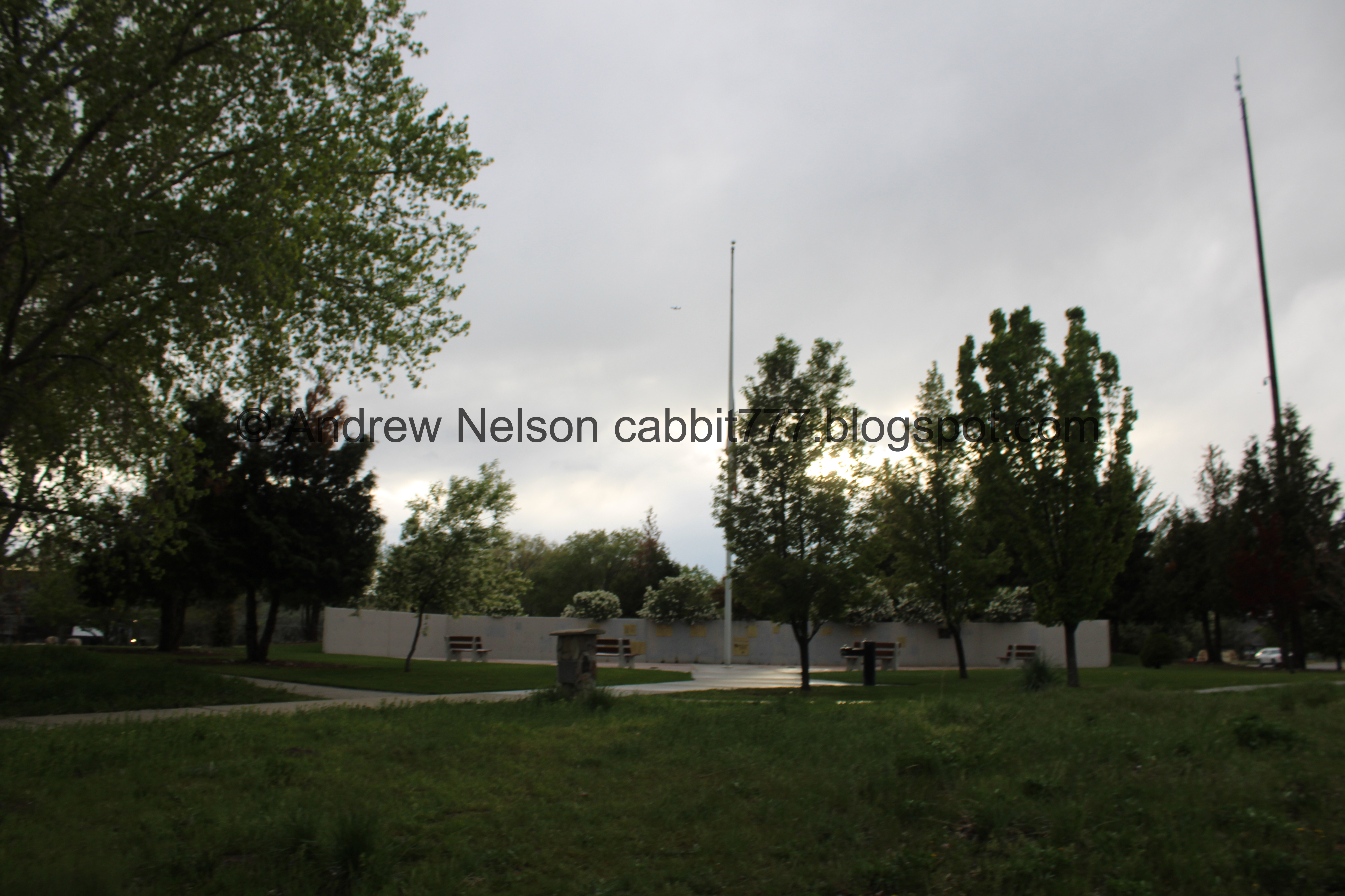
The WW2 Memorial Park.

Early settlers built dugouts in the area back in 1849.


The river.

Small animal holes. I suspect possibly muskrat. I’d say some birds are a possibility too, but they seem to low for that.

Back to the old dam area.

Duckies.

Mountains above.

Downstream.

River and mountains.

Upstream.

Downstream.

The actual site of the old dam.

I am a little surprised at how grown in it is, there is like… no sign of the old dam, or the platform next to it.

The old dam site again.

Looks like Salt Lake County can be thanked for this improvement.

Mountains.
.jpg)
Panoramic.

One of the 2 canoe ramps that were built to bypass the dam.

Another section that is behind some apartments.


But it is very pretty.

Itty bitty baby snail.

Normal size snail. They all need to get off the path. We don’t want to see them get squished. As much of a pest they can be in gardens.

More pretty green.

The first bridge again.

From the side.

Upstream.

Downstream.

Back into Murray.

Pretty sure these are more Japanese cherry.

Some more in Confluence Park.

Heading under 48th South again.

Back to Arrowhead Park.

Fun moody clouds.
Well, that was a fun day with our friends. I really enjoyed seeing the improvements in the river and on the trail. I think we will have to come back and explore some more. We got rained on a little bit, but nothing crazy. I am glad that I had a 3rd thought about whether I should wear my hoody or my winter coat today, the hoody was fine. It also was not super busy. Hrm, I think we’ll go with 7 squirrels today.
As for difficulty, it was paved, and generally flat. DR2.

Dogs are allowed, but should remain leashed. Please clean up after your furry friends.

No comments:
Post a Comment