.jpg)

A hawk on the Legacy Nature Trail
Quick Details:
Length: 3.2 Loop or you can do a 3 mile out and back by staying on the Legacy Parkway.
Difficulty: DR3 for the loop. DR2 for just the parkway.
Elevation Gain: NA not enough that it registered on my app but at least 20 feet to climb over the walkway.
Restroom: Not at either trailhead. There is one at Mountain View Park but I confirmed it is closed in winter.
Dogs? Yes, leashed.
To Get Here:
From Redwood Road in Woods Cross take 2425 S west. At the end of 2425 s is a one way loop with a parking lot, this is the trailhead.
The Trail:

The 2425 S Trailhead.

So far all of the trailheads have different informative signs. This one focused on the ancient Native American artifacts found in the area. Another random interesting fact is they say there is a gap in activity between 1600 and 600 BC which they think may be due to higher lake levels.


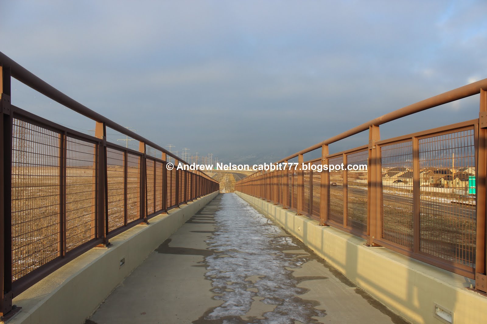
This trail head is directly south of the serpentine bridge, we did that last time, but I wanted to start on the Legacy Nature Trail while we had the best lighting, and well, we have to cross here to get there. If you want to stay on a paved path, keep to the right.

Heading up the serpentine walkway.

Right at the S curve.

Looking north.

Heading down the west side.
All of the trailheads have signs that say: 'No winter maintenance', so they don’t plow. We didn’t have an issue, but be aware there could be ice and have your micro spikes on hand in case you need them.

It’s just foggy/smoggy enough that you can’t see Antelope Island. That kind of freaks me out.

The Legacy Nature Trail. You can use this trail to make a loop back to Center St by going left or up to 5th South by going right. From what I can tell, that is the extent of it, but I might be wrong. We are heading to 5th S. so right we go.

The signage, at least on the south end here has been more than adequate.

The Legacy Nature trail is not paved like the Parkway Trail. But it follows this old 2 line jeep road so for the most part it is like paved.

One of the fun things about doing such a flat trail is we can already see the next destination, the 5th S. Trailhead and bridge.

Still can’t see Antelope Island.

So, even though it is the Nature Trail you still can’t get into the Nature Preserve. Meh. I guess that keeps it wild for the wildlife.

Looking the other direction it looks like the inversion is breaking up enough we can see the a smidge of blue skies. Well, that makes me feel a little better. I originally wanted to hike up above the inversion today, but am still recovering from a cold so I chose this easier option instead.

Looking towards the Davis County point of the mountain and Wild Rose Park where I had planned to climb up today.

Crossing under the power lines.

Looking towards the 5th S bridge again.

Looking out into the preserve. I think I can make out a faint shape of Antelope Island now.

Sunset panoramic.

Even the Nature Trail has the cute little benches every now and then to rest on.

Cows.

I was hoping that I would see some hawks and/or other birds along the nature trail here, and well, we did, but that darn fence is in the way, well for the most part.

A couple of spots the trail is high enough to allow you to easily see over the fence, and well, this was a good spot to have that happen. We saw this hawk looking for it’s next meal.

Even with the telephoto lens it’s too far away, and the lighting isn’t favorable to try to identify.

More cows.


Well, he/she doesn’t seem to be going anywhere and we were able to get a little closer. Still not sure but am leaning towards northern harrier.

Getting closer to 5th S.

Near the north end of the trail it opens up a little bit.

A northern harrier. I guess the fence isn’t completely intrusive, but still would prefer not to have it.

A couple of sparrows.

Near the 5th S trailhead is a tiny little wetland. If the conditions are right in spring, you might find a lot of seagulls here.

The sun setting behind Antelope Island.

I.. don’t know why the sign is here. There is a little loop around the marsh here, and both paths take you up to the 5th S Trailhead.

The option to the left is a ramp…

The option to the right has stairs.

The swampy area from above.

The 5th S Trailhead.

Now we have to walk along 5th south to cross back over the Legacy Parkway to get back to the Legacy Parkway Trail.

Kind of a neat newer bridge.

Looking south down the Legacy Parkway.

Low clouds along the mountains.

You can just barely make out Ben Lomond off in the distance.

Duckies.

On this side of the bridge you have a choice between stairs, or a ramp as well. It’s nice to see that it is very stroller friendly, and even ADA accommodating. Well, the Parkway Trail anyway. the Nature Trail probably not so much.

Now we are back on the Legacy Parkway Trail. Left will take you back to the 2425 S trailhead. Right will go to the Mill Creek Trailhead, which we have actually done before. Just not the section between here and there.

I am glad we did this this way because the next segment was here to the Mill Creek TH and I could not figure out how to get to it. I should have realized there was a tunnel!

Heading back towards 2425 S.

So the 5th S trailhead is just north of the Mile 4 Marker. I know the 2425 S TH is just north of the 2.5 Mile Marker so almost exactly 1.5 miles apart. The mile markers start at the south end of the trail where it connects to the Jordan River Parkway. You may have noticed the Nature Trail does not have the mile markers.

There are some open fields on this side as well.

The trail is a little wiggly through here.

Can just make out the top of the Oquirrh Mountains.

Mountain View Park.

I went from seeing my very first no dogs allowed park last week, to seeing the same restrictions here. This is crazy.

In the warmer months this would probably be good potty pit stop, but it is closed in winter.

Crossing back under the power lines.

I like the style they used for the benches along the parkway, and there are quite a few of them spaced throughout so if you ever need a rest, you won’t have to walk too far.

Just a mile to go.

You can see the serpentine walkway from here.

Another open area.

Although, not for very much longer it would seem.

Low hanging clouds.

Getting closer. Just a little under a half mile.

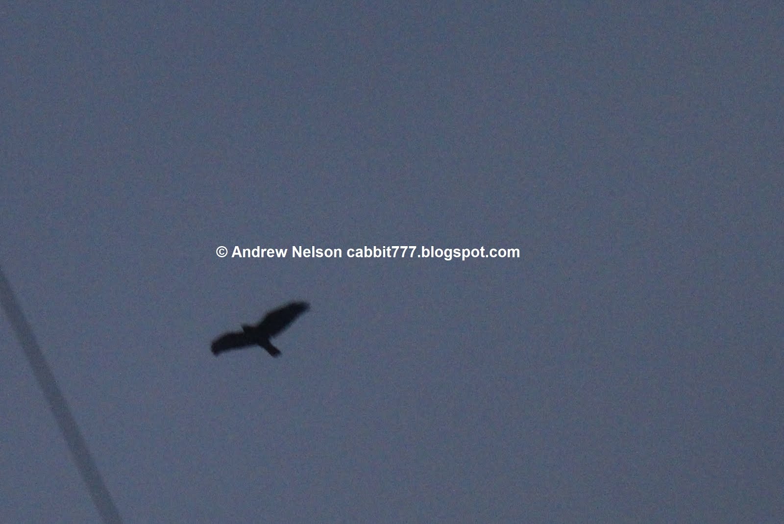
A hawk flew overhead but it was too dark.

The serpentine bridge again.

At the S curve.

Panoramic of it.

Our little faux owl friend that tricked me last time.

Back to the trailhead.
Well, I liked this segment of the Legacy Parkway just a smidge better than the previous one, but still not a whole lot to see. 4 squirrels.

The Nature Trail was pretty much the same, only not paved. However I did enjoy getting to see some hawks out in the preserve so that will bump it up to 5 squirrels.

As for difficulty, The Nature trail is flat, and almost like paved super easy. DR3. This segment of the Legacy Parkway is paved and flat. DR2.
Dogs are allowed on both trails, leashed. Be sure to watch the signs at parks though and avoid going into one they are not allowed in.

Quick Details:
Length: 3.2 Loop or you can do a 3 mile out and back by staying on the Legacy Parkway.
Difficulty: DR3 for the loop. DR2 for just the parkway.
Elevation Gain: NA not enough that it registered on my app but at least 20 feet to climb over the walkway.
Restroom: Not at either trailhead. There is one at Mountain View Park but I confirmed it is closed in winter.
Dogs? Yes, leashed.
To Get Here:
From Redwood Road in Woods Cross take 2425 S west. At the end of 2425 s is a one way loop with a parking lot, this is the trailhead.
The Trail:

The 2425 S Trailhead.

So far all of the trailheads have different informative signs. This one focused on the ancient Native American artifacts found in the area. Another random interesting fact is they say there is a gap in activity between 1600 and 600 BC which they think may be due to higher lake levels.


This trail head is directly south of the serpentine bridge, we did that last time, but I wanted to start on the Legacy Nature Trail while we had the best lighting, and well, we have to cross here to get there. If you want to stay on a paved path, keep to the right.

Heading up the serpentine walkway.

Right at the S curve.

Looking north.
Heading down the west side.
All of the trailheads have signs that say: 'No winter maintenance', so they don’t plow. We didn’t have an issue, but be aware there could be ice and have your micro spikes on hand in case you need them.

It’s just foggy/smoggy enough that you can’t see Antelope Island. That kind of freaks me out.

The Legacy Nature Trail. You can use this trail to make a loop back to Center St by going left or up to 5th South by going right. From what I can tell, that is the extent of it, but I might be wrong. We are heading to 5th S. so right we go.

The signage, at least on the south end here has been more than adequate.

The Legacy Nature trail is not paved like the Parkway Trail. But it follows this old 2 line jeep road so for the most part it is like paved.

One of the fun things about doing such a flat trail is we can already see the next destination, the 5th S. Trailhead and bridge.

Still can’t see Antelope Island.

So, even though it is the Nature Trail you still can’t get into the Nature Preserve. Meh. I guess that keeps it wild for the wildlife.

Looking the other direction it looks like the inversion is breaking up enough we can see the a smidge of blue skies. Well, that makes me feel a little better. I originally wanted to hike up above the inversion today, but am still recovering from a cold so I chose this easier option instead.

Looking towards the Davis County point of the mountain and Wild Rose Park where I had planned to climb up today.

Crossing under the power lines.

Looking towards the 5th S bridge again.

Looking out into the preserve. I think I can make out a faint shape of Antelope Island now.
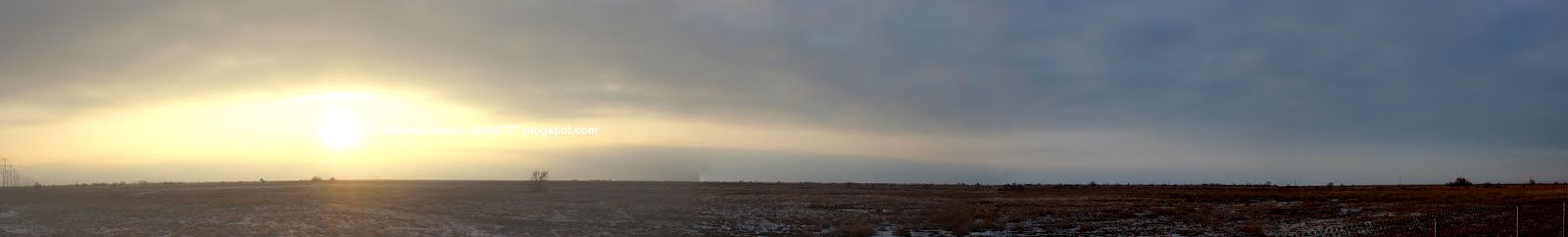
Sunset panoramic.
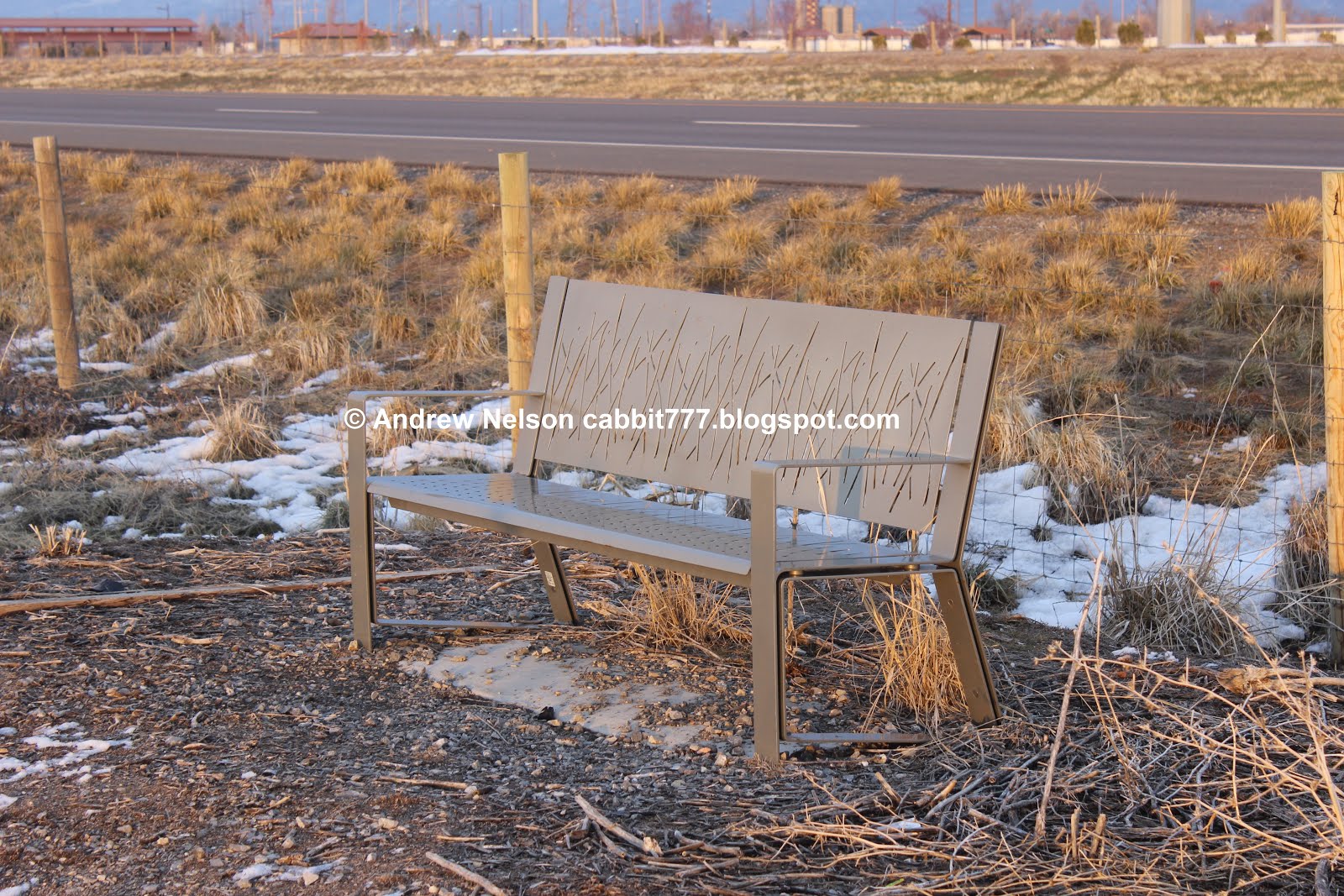
Even the Nature Trail has the cute little benches every now and then to rest on.

Cows.

I was hoping that I would see some hawks and/or other birds along the nature trail here, and well, we did, but that darn fence is in the way, well for the most part.

A couple of spots the trail is high enough to allow you to easily see over the fence, and well, this was a good spot to have that happen. We saw this hawk looking for it’s next meal.

Even with the telephoto lens it’s too far away, and the lighting isn’t favorable to try to identify.

More cows.


Well, he/she doesn’t seem to be going anywhere and we were able to get a little closer. Still not sure but am leaning towards northern harrier.

Getting closer to 5th S.

Near the north end of the trail it opens up a little bit.

A northern harrier. I guess the fence isn’t completely intrusive, but still would prefer not to have it.

A couple of sparrows.
Near the 5th S trailhead is a tiny little wetland. If the conditions are right in spring, you might find a lot of seagulls here.

The sun setting behind Antelope Island.

I.. don’t know why the sign is here. There is a little loop around the marsh here, and both paths take you up to the 5th S Trailhead.

The option to the left is a ramp…

The option to the right has stairs.

The swampy area from above.

The 5th S Trailhead.

Now we have to walk along 5th south to cross back over the Legacy Parkway to get back to the Legacy Parkway Trail.

Kind of a neat newer bridge.

Looking south down the Legacy Parkway.

Low clouds along the mountains.

You can just barely make out Ben Lomond off in the distance.

Duckies.

On this side of the bridge you have a choice between stairs, or a ramp as well. It’s nice to see that it is very stroller friendly, and even ADA accommodating. Well, the Parkway Trail anyway. the Nature Trail probably not so much.

Now we are back on the Legacy Parkway Trail. Left will take you back to the 2425 S trailhead. Right will go to the Mill Creek Trailhead, which we have actually done before. Just not the section between here and there.

I am glad we did this this way because the next segment was here to the Mill Creek TH and I could not figure out how to get to it. I should have realized there was a tunnel!

Heading back towards 2425 S.

So the 5th S trailhead is just north of the Mile 4 Marker. I know the 2425 S TH is just north of the 2.5 Mile Marker so almost exactly 1.5 miles apart. The mile markers start at the south end of the trail where it connects to the Jordan River Parkway. You may have noticed the Nature Trail does not have the mile markers.

There are some open fields on this side as well.

The trail is a little wiggly through here.

Can just make out the top of the Oquirrh Mountains.

Mountain View Park.

I went from seeing my very first no dogs allowed park last week, to seeing the same restrictions here. This is crazy.

In the warmer months this would probably be good potty pit stop, but it is closed in winter.

Crossing back under the power lines.

I like the style they used for the benches along the parkway, and there are quite a few of them spaced throughout so if you ever need a rest, you won’t have to walk too far.

Just a mile to go.

You can see the serpentine walkway from here.

Another open area.

Although, not for very much longer it would seem.

Low hanging clouds.

Getting closer. Just a little under a half mile.
A hawk flew overhead but it was too dark.

The serpentine bridge again.

At the S curve.

Panoramic of it.

Our little faux owl friend that tricked me last time.

Back to the trailhead.
Well, I liked this segment of the Legacy Parkway just a smidge better than the previous one, but still not a whole lot to see. 4 squirrels.
As for difficulty, The Nature trail is flat, and almost like paved super easy. DR3. This segment of the Legacy Parkway is paved and flat. DR2.
Dogs are allowed on both trails, leashed. Be sure to watch the signs at parks though and avoid going into one they are not allowed in.

No comments:
Post a Comment