.jpg)

Quick Details:
Length: The trail guide I used said about 4 miles out and back to the overlook. We did 2.91
Trail Type: Out and back.
Difficulty: DR5. This is a steep climb with some questionable creek crossings.
Elevation Gain: 1450 to the overlook. We did about 900 feet.
Restroom: No. Closest would be the 7-11 on Wasatch.
Dogs? Yes, leashed. This is surprisingly not watershed. Warning: Even though it says it is leash required, a lot, and I mean A LOT of people ignore that and do off leash. I do not encourage this at all, but just a warning so you know. Please clean up after your furry friend.
To Get Here:
Take i215 to exit 6 for 6200 S. head east. Head uphill as 6200 S curves around and becomes Wasatch BLVD. Go forward through the light at the mouth of Big Cottonwood Canyon and take the next left at Prospector Dr. Immediately turn right, still Prospector. The rest is signed, but take the 2nd left onto Timberline Dr. Park in the designated parking only.
If the parking lot is full, there is an overflow lot off of Prospector Dr. This will only add about 3/10’s of a mile (one way) to your hike.
The Trail:
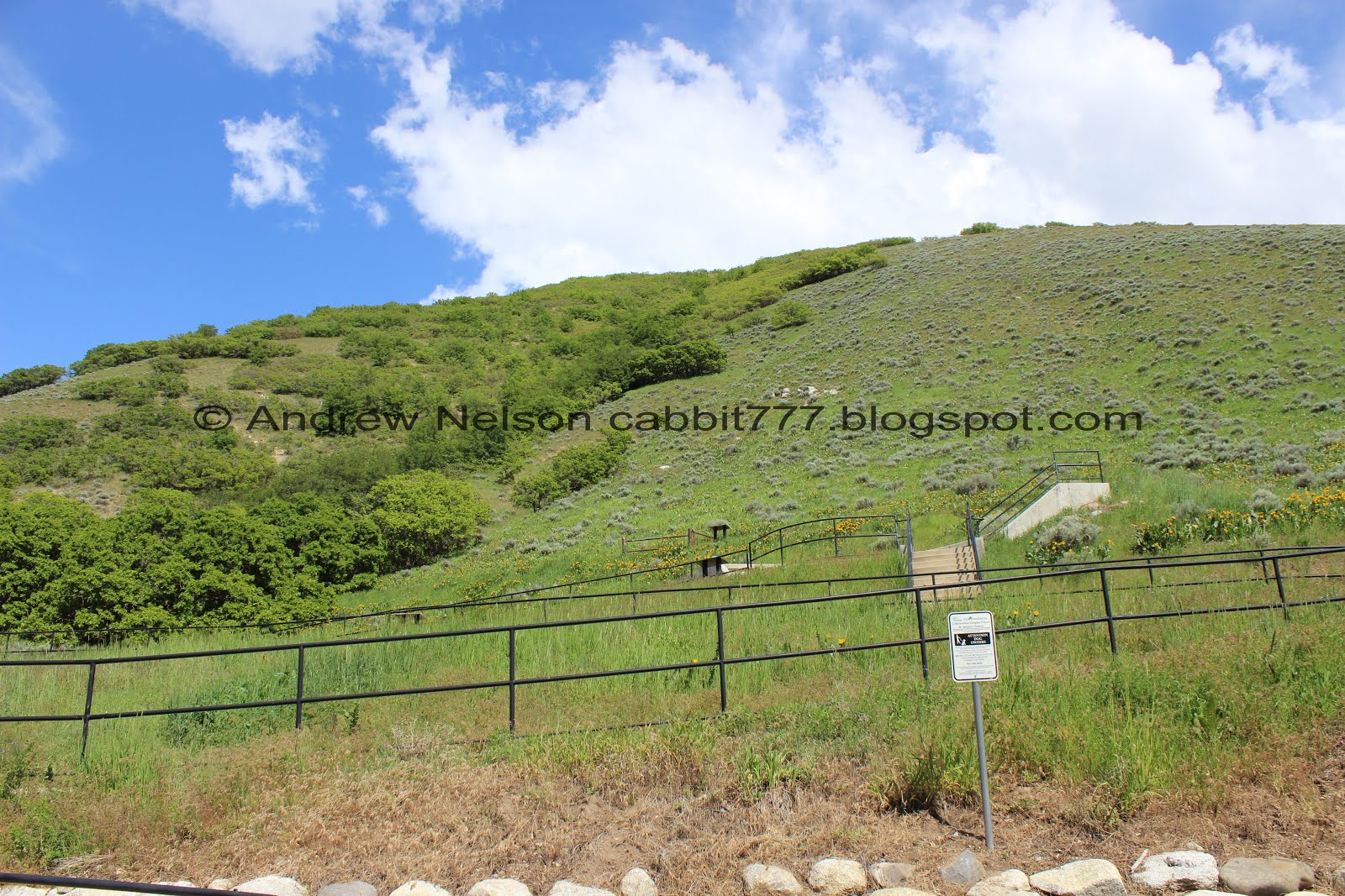
We got lucky and found a parking spot at the actual trail head! Here is a view up.

If you decide to go off leash, just know you are risking a ticket.

Little amphitheater. Why does there seem to be one of these is just about every park and canyon around here? What do we do with these?

They have added a sign with the animals you might see. We saw a squirrel and some red tailed hawks.

Onto the trail proper. It starts out fairly wide and easy going.

Lovely view of downtown.

With some flowers.

These stunning blue butterflies never sit still long enough for a good picture, so when they actually do, I get a little excited.

Loads of wildflowers.

Before long you will come to the water-tower. After passing this you will dip down into the canyon.

The view again.

Panoramic.

Big Cottonwood Canyon.

Ferguson Canyon.

More flowers.

Short section that goes back downhill.

Into the woods!

Wildflowers in the woods.

A little rocky, but not too bad.

Wild snapdragon.

Pretty wooded trail.

Neat mossy rock.

A little bit beyond a half mile you will come to the Twin Peaks Wilderness sign.

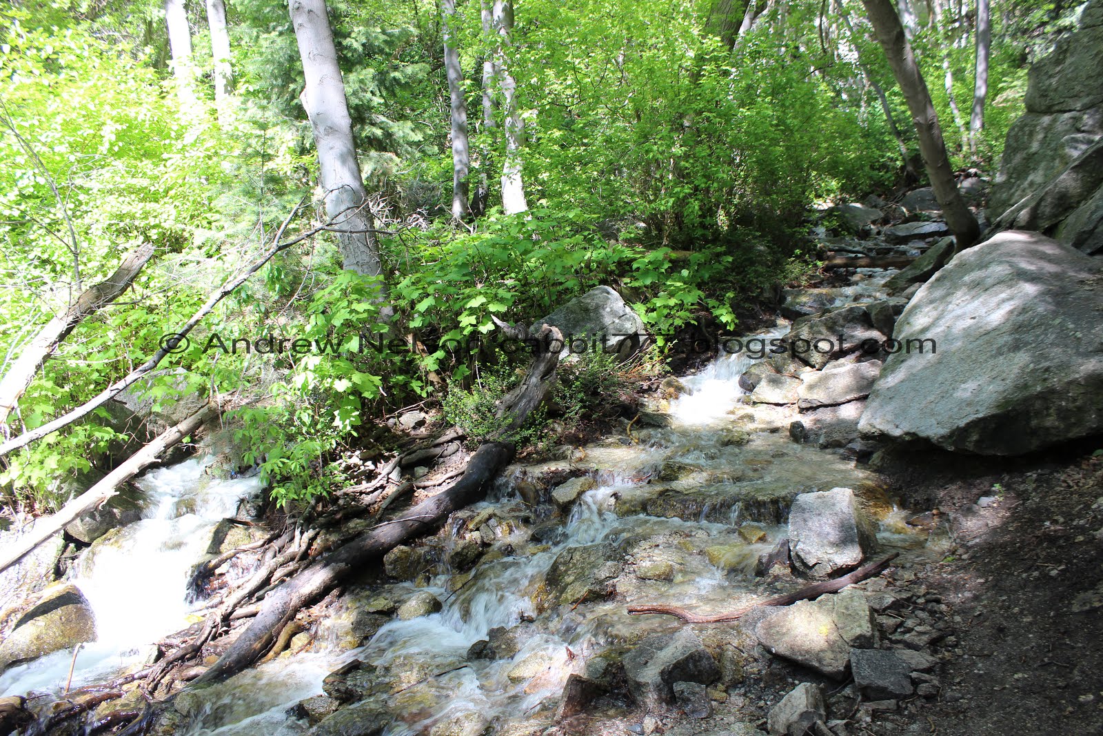
First view of the creek, without taking a side trail down to do so anyway.

Such a pretty forest.

The creek again.

Neat cliffs.

The creek has completely fanned out across the trail here.
Quick tip: The sooner you resign yourself to the fact that your feet are going to get wet, the easier it will be. Trust me. We tried the easy route by just crossing here and had to back track some. If you can hug the cliff, and stay on the right, that is the best option.

The cliff wall again.

There are quite a few spots that show signs of drilling. This is fairly common in Little Cottonwood Canyon. They built the Salt Lake Temple out of local granite. You can see more of this on the Temple Quarry Trail and Granite Trail of Bell Canyon. This is a particularly great example as it kind of shows the process. They drilled regularly placed holes with a drill bit and sledgehammer until the rock splits.

Another example.

Cliffs through the trees.

The creek again.

This cliff face typically has climbers on it, but it is really neat without them.

A little closer.

The rock walls here are so neat. Probably what makes them so attractive to climbers.

Speaking of climbers.

We kind of reached a dead end so had to back track a little bit and find a suitable place to cross the creek again.

Such an incredible oasis in here.

Amazing cliffs.
This is about as high as we have made it in this canyon before. When we got this high Roxy let us know she was done. And last year we didn’t get quite this far as Mickey was not doing so well. So, we decided to try without the dogs today.


Now the rail is the creek, but it’s quite a bit more manageable to make our way up.

Rocky trail.


Looking up towards the cliff tops.

Little spring.

Mossy cliff.


Pretty forest.

Creek and cliff.

Neat little archway.

Hole in a tree.

Lush green hillside.

Shortly after the arch the trail gets rocky and starts to climb.

The trees open up enough to see a peak above.

Mossy rocks.

Looking up.

A lot of the trees up here have these weird little growths on them.
The creek again.

Neat cliffs.

Looks like there is another spring coming out of that little cave.

Here we come to a spot where the options are to climb the cliff, or cross the creek. There was a better looking crossing just slightly below so we went back.

Maybe 15-20 feet down trail there is a partial bridge.

Pretty forest.

Little cascade.

Just after the creek crossing you come to this steep, slick scramble. This picture didn’t quite capture how steep it is, but I didn’t like it one bit. But, we got a couple glimpses of a waterfall so, I thought I would see how far I could get.

The creek going down the steep section.

The waterfall hooray!!

Another angle.

Looking down. Meep.

Neat family tree.

There only looks to be a little bit more up before leveling out again.I was still kind of struggling with how high up were were so Landis ran up to see how it was. He said it leveled off for a minute and then went right back up again just like the section we just did. Oi. I am truly loving this canyon, but I am not part mountain goat! I figured the waterfall was a a pretty good destination for the day.
The waterfall again.

Lower cascade.

Looking down the steep trail. Looking back I do kind of wish I pushed on up at least to the flat section, I already suffered through this, haha.

Fun cliffs kind of look like a dog.

I decided I liked the upper crossing better for going back. Yes, nothing to step on, but is more shallow.

Pretty forest.

The lower cascade.

The spring coming out of the cave again.

More of the lovely forest.

The creek again.

Bumpy rock.


Gorgeous green forest.

Looking up.

The creek again.

So pretty through here.

Mossy cliff again. I decided to explore a little more around here.

I found a beautiful oasis on a cliff. Really neat.


Really neat.

Mossy wall.

View down canyon again.

Rock above looks like a dinosaur mouth.

I forget what this is called, but it is pretty.

Mossy wall again.

Another pretty oasis side canyon. There seems to be a trail up here, but it looks just as rough, if not more rough than the main trail. meh. Not today.

Thin canyon between the cliffs.

Neat cliffs above.

The cliffs again.

I see a couple of faces. It makes me think of the movie Labyrinth.

The thin canyon between the cliffs again.

Hiking down the creek next to the cliff. This section it is pretty easy to avoid getting your feet wet.

Cliff and forest.

Looking up towards the top of the cliffs.

This is the most popular climbing wall, so I was happy to see it without any climbers right now.

Neat rock that collapsed and was caught again.
We decided the best way down was to cross the creek, and then cross it again. Oi. But, we had already resigned to have wet feet so, it wasn’t the worst.

More rock quarrying evidence.

Pretty forest, wet trail.

More forest.


Pretty trail.

Wild snapdragons.

Tree tunnel.

This canyon is so green right now it’s amazing!

Forest and flowers.

Small section back up out of the canyon.

Flowering tree.


More wildflowers.

Big Cottonwood Canyon.

Ferguson Canyon.


This is a great trail for wildflowers!

It looks like we are getting off the mountain just in time. I don’t know when SLC became Yellowstone, but it is kind of weird ending every nice day with a random thunderstorm!

Green puddle.

We enjoyed watching some hawks above diving and soaring. I thought for a second we might be watching some peregrine falcons, but then I heard the call and knew I was watching some red tailed hawks. Unfortunately, they were still too far away to get a decent picture, even with the telephoto lens.

More of the yellow flowers.

Going all the way up the hill.

Spring in Utah in one image. Blue skies to the right and black to the left.

Downtown again.

More of the yellow flowers.

Some lupine near the trailhead.

Some iris’s. I am pretty sure these were planted.
I am glad we came back to explore this canyon again. It is really a beautiful canyon with a lot of neat stuff. I would have liked to make it to the overlook, but I think the waterfall is a good end prize. The canyon is super busy up to the climbing walls, and then the crowds thin out quite a bit. I am taking 1 squirrel for the small parking lot, and 1 for steepness. 8 squirrels out of 10.
As for difficulty, It wasn’t bad until that final creek crossing, then it gets super steep and slick. DR5.
Dogs are allowed, and must be leashed. Yes, a lot of people ignore that rule, but don’t contribute to that. Not to mention, is it really worth the ticket?

No comments:
Post a Comment