.jpg)

Quick Details:
Length: The trail guide I used said 3.2 miles. With our.. round about way we did 3.21.
Trail Type: Loop, with out and back, and point to point options.
Difficulty: DR2. Basically flat, paved, easy going.
Elevation Gain: trail guide I used said 32 ft. We added some higher bridges and did about 100 ft.
Restroom: There are public restrooms on the north west end. Not sure if they are open in winter though.
Dogs? Yes, leashed. Please clean up after your furry friends.
To Get Here:
Take Bangerter Highway to 10400 S. and head west. go about 1.3 miles and take the 2nd exit on the traffic circle to stay on S. Jordan Pkwy. Go about 300 ft and turn left onto Rubicon Rd, which is not paved. This is the parking lot.
The Trail:

From the parking lot. You will start on this dock across the lake.

List of rules.

There were a lot of these signs. I wonder if they had an incident, or if they are just really covering their bases.

The north end of the lake.

You’ll want to hang a right here, unless you feel like going out over the lake.

Fish Hook Creek. Unless there is a spring up there, I suspect the entire thing is man made, and probably is diverted from Bingham Creek.

The lake again. Lots of ducks and American coots.

Fun little ice caps on these plants.

I cropped it a little closer to better show the neat mushroom cap looking formations.

Ducks and coots.

Looking back north.

Double arched bridge across the lake.

Going under.

The lake again.

American coots and some ducks too.

Seagull diving in after something.

Oh, there is a fishing area.

Some coots and ducks hanging out on the ice.

Some more swimming around.

Bridge to the other side.

We stayed on the west side. I knew this lake had an island, but I didn’t realize the island was big enough to have houses on it! The lake ended up being quite a bit bigger than it looked on the map.

Little duck has this little circle of water all to himself.

Lots of seagulls.

And they're off!

A couple of geese hanging out with the ducks.

Another look at the lake before we dip into this side arm.

The geese again.

Neat art.

More art.

Neat waterfall. Again, I can’t locate the source of water so it either recirculates from the lake, or possibly comes from Midas Creek.

Water heading towards the lake.

I am pretty sure there is a beach under there, but not really knowing for sure where the lake ended we opted to not shortcut and stay on the paved trail.

Looking north along the lake again.

Holy seagulls Batman.

More neat art. This appears to be sanctioned by the community, but I don’t know for sure.

Seagulls again.

Bridge onto the island.

Bridge across this random lake arm.

I love the different sections of frozen and non frozen lake.

Heading under the bridge.

More fun ice formations.

The lake. Probably the widest part of it so far.

Starting to get a nice view of the mountains.

Quick panoramic.
Another view.

More ducks.
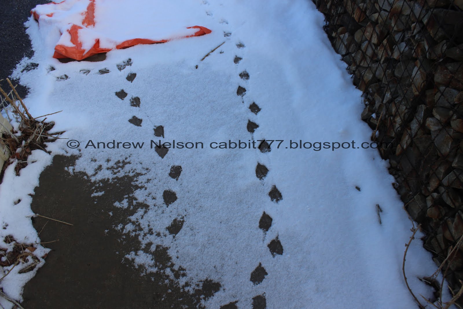
Duck prints.

Well. Crap. Some construction is preventing us to continue along the southern end. Darn.

View of the southwestern end of the lake.

Looking back north I noticed this bridge, so I figured we could get around going that way. It did, but not quite like I expected.

There was a sidewalk on the bridge to cross safely away from traffic.

The mountains look amazing with the low clouds today.

Southwestern end of the lake.

There was a little tower thing on the bridge that offered this view.

Looking back, I kind of wish we had just done the south end of the island, but I was heading back to the bridge we saw earlier. So we went around the north end.

I thought this resident must REALLY like hammocks, before realizing it is likely a clubhouse or something.
There were a lot of these “Private, Island Residents Only’ signs. It kind of makes you feel unwelcome on the island.

Back to the seagulls.
You know, every time I find myself in Daybreak I get the theme song to Weeds stuck in my head: 🎵Little boxes on the hillside, Little boxes all the same….

You can kind of see Kennecott through the clouds.

Uh oh. That bridge I was counting on, doesn’t connect to the island. Crap crap crap. Well, there has to be more than one way onto the island right? So, we just kept going. Looking back, I don't know why I thought that bridge connected to the island but eh.

Making our way towards the southeastern side of the lake.

Ducks.

American coots.

New construction site lets us see the different layers of soil. Eh, I thought it was neat.
I was just making plans to somehow get to the road to cross back over to the initial bridge we used to get onto the island, when we noticed there is one on this side as well. Phew!

The far southeastern end of the lake.

Crossing over to the east side.

Pretty puff of cloud.

That looks like a really fun playground.

More of the lake.

Looking back south towards the bridge we crossed over to get back off the island.

Fun clouds.

After our unexpected detour, I just wanted to get back to the car, so I decided to remove having to go around that bay at the beginning and we just crossed back over to the west side, using the bridge I mistakenly thought connected to the island. The bay isn’t that big, but still.

Looking north.

Looking south.

This makes me laugh. Who would think this lake is remotely deep enough to attempt that… well. Never mind. Humans can be pretty dumb sometimes. Best to cover your bases.

Lots of American coots.

Back to the double arched bridge.

Nearing the north end.

Lots of ducks.

Flying ducks.

The mountains again.

Little Cottonwood Canyon.

Looking south again.

Big poofy clouds capped by a wee little lenticular cloud.

Little closer.

LOL I can’t remember the last time I ever did doughnuts.

Last look at the lake.

Nice view of Big and Little Cottonwood Canyons on the way back home (PSP).
Well, as far as neighborhood lakes go, this one is really… a neighborhood lake. Daybreak is sure stuffing in as many houses as they possibly can in there. However it was still a great walk to get some exercise in a safer way during winter. You have a lot of different options to explore it as well. I think, even though it is busier, and surrounded by more houses, that I did enjoy it slightly better than Decker Lake. However I am going to take an additional squirrel due to the construction blocking the full loop I wanted to do. 7 squirrels.
As for difficulty, it’s paved, and generally flat DR2.
Dogs are allowed, leashed. Please clean up after your furry friends.

No comments:
Post a Comment