.jpg)

Quick Details:
Length: whatever you decide to do. There are 2 beaches and a marina.
Trail Type: Sandy beaches, had packed marina wall, out and back.
Difficulty: DR3. Generally flat and easy going.
Elevation Gain: NA.
Restroom: There is a restroom in the Visitor Center and one near the marina as well.
Dogs? Yes, leashed. If seeing the Mirabilite Mounds, please avoid them causing any damage to them.
Other Info: Fee area: $5.00 per car.
To Get Here:
Head east on i80 to exit 104. Turn right off the exit towards Saltair, and then immediately left (following the signs for the Great Salt Lake State Park and Marina). Follow that to the end. Pay your park fee’s and head in.

We accidentally took the exit for 201 instead of for 80. As far as taking the wrong exit goes, this one at least still got us to our intended destination without much of a detour. (Passenger Seat Photography (PSP))

Safety messages on various Kennecott buildings (PSP).

The lake is a lovely shade of blue today (PSP).

Saltair III (PSP).
The Trails:

While Landis put his boots on, I wandered over to this viewing platform.

Saltair and the mirabilite mounds to the east.

Antelope Island and a beautiful blue Great Salt Lake.

Pretty lake. Little bit of Stansbury Island.

The mountains to the east.

It’s kind of surprising the many different places I randomly stumble upon something referencing the 2002 Olympics.
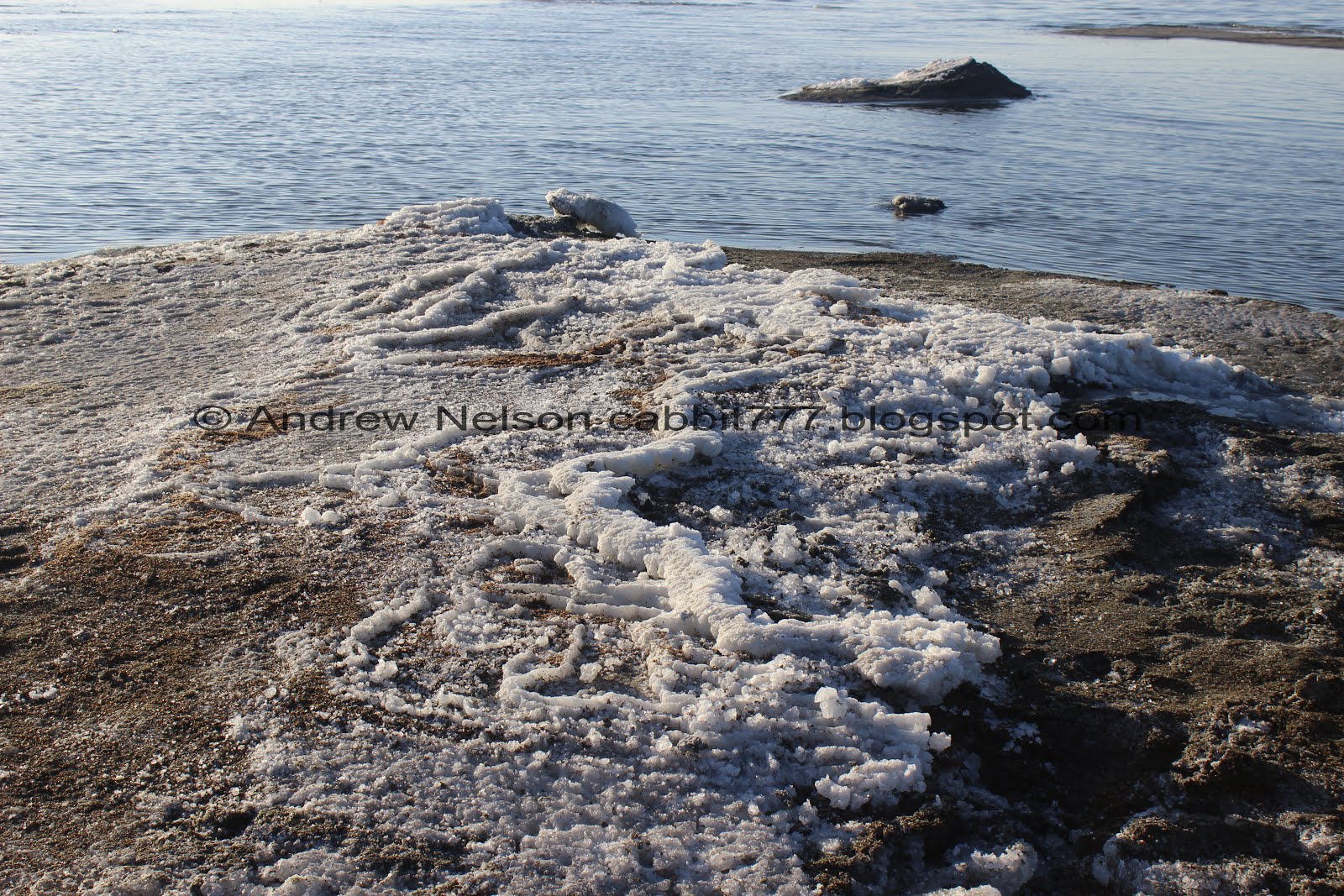
After enjoying the view we went down onto Silver Sands Beach towards the mirabilite mounds. I don't often repeat an adventure so quickly, but this is such a rare and unique feature that I really wanted to view again.

Short, somewhat steep slope down to the beach.

Down on the beach.

The Kennecott Smelter Stack. The tallest free standing structure east of the Mississippi.

Little unnamed creek. It’s shallow and easy enough to cross.

Enjoying the beach.

The (very temporary) mounds are located about 100 yards out.
Note: This is a very rare phenomenon, and this is the first time this has ever been observed here. So, unless you are reading this fairly recently (January 2020), or at least during a very cold winter, this is likely no longer here.
If they are not there anymore, it’s about 1.4 miles out to Saltair (as the crow flies) or you can keep going.

The largest mound still has some the amazing formations, however it sadly looks like it has dried up. I am so glad we came out last week to see the full awesomeness of this really rare natural feature.

So long as the weather stays as cold as it has been, and the lake doesn’t get too crazy, the formations should remain. Well, this one at least. The others are really deteriorating. Also, who know, maybe another spring will pop up somewhere.

Where the water was coming up. The miniature terraces are absolutely incredible!
This one you can access without getting too wet, but all the other ones will require wading. My winter boots are 8 inches tall and did just fine.

The far east mound has really shrunk.

From above.

Looking out towards Antelope Island.

The 2 western mounds.
Sad to see how much this one has deteriorated. However, I knew they didn’t expect them to last very long, so I can't be too upset about it.

The far west one has almost completely broken down into the powdery thenardite. This is what happens when the mirabilite warms up, so there is absolutely no reason to collect a sample. Not to mention, that is illegal to do so.

Neat little cave.

Closer view of the crystals.

Back to the middle west mound.

Trying to avoid my shadow was an issue today haha.

Little waves in the lake.

Back to the front or middle-east mound.


It is by far the most impressive one!

From the back.

From the other side.

Detailed terrace shot.

From the front.

More detail.

Antelope Island again.

Me to kind of show the size of the formation.
I am glad that we came back and saw the formations on a sunnier day, and I am really, really glad we got to come out and see them at their peak last week. You can find out more about what exactly is going on here by viewing my post about them from last week. As fascinated by the formations as I was, we did have additional plans for the day, so I managed to peel myself away.

The Kennecott smelter stack again.

Last parting shot.
You know, I paid the darn park fee, I probably should have experienced the beach a little more than we did, but, like I said I had alternate plans.

Stansbury Island through the mounting inversion.

The bizarre shores of the Great Salt Lake. Due to it’s shallow nature, the shore line is typically very wonky.

We the unnamed creek joins the lake.

Antelope Island again.

The little unnamed creek again.

Next, we decided to explore the marina. There is a short trail out along the north marina wall out to the opening. I would guess it’s about half a football field.

The marina.

Walking along the marina wall.

The marina again, with the Kennecott smelter stack.

The marina’s opening into the lake.

View from the opening. The header picture for my blog was taken from here, years and years ago.

View again.

We climbed up to the top of the marina wall.

The marina from here.

Another monument to the Olympics.

Heading back.

The salt mounds seem quite a bit quieter. I had to resist the urge to head back down to them, but didn’t. The next thing I was hoping to see was Black Rock. So we headed that way. Unfortunately, the road was closed for construction, so we did not make it that far.
On the other side of the marina is Sunset Beach. we did not explore that today. It looks to be about a mile-ish to Black Rock. Maybe another time. I had plans to explore the east end of Lee Creek. So we headed east towards that.
Right now this State Park has some amazing, rare formations that made it quite popular, and well, was what drew us out. However there are some neat things to see for a mere $5.00 fee. If you are super cheap, you can see similar stuff by heading just a bit further east towards the Lee Creek area and not have to pay a fee. However, that will be a little bit of a longer walk out to the lake shores. So, pick your poison. Fee, and immediate access to the lake, or no fee and a walk out to the lake. Going with 8 out of 10 squirrels today.
As for difficulty, all of the trails are generally flat end easy, as far as beach walking goes. DR3.
Dogs are allowed! Please clean up after your furry friends, and if visiting the salt mounds, ensure they do not damage them.

No comments:
Post a Comment