.jpg)
Miller Park or more formally Lee Charles Miller Bird Refuge And Nature Park Is an absolutely beautiful little hollow in Salt Lake City. The loop allows you to explore both sides of Red Butte Creek. Years and years ago my friends confused this park with nearby Allen Park which was thought to be haunted. So of course we spent a lot of time here at night usually. But, I rediscovered it as an adult and find it to be an enjoyable stroll. We actually planned on going to the just recently re-opened to the pubic Allen Park, but as we drove by we noticed it was super busy, so I decided we would come here instead.

Quick Details:
Length: About mile if you do the full thing Including the Bonneville Glen (which I learned today is separate).
Trail Type: Figure 8. Mix of paved and sand.
Difficulty: DR3. Pretty Easy.
Elevation Gain: 124 ft,
Restroom: No.
Dogs? Yes. Leashed.
To Get Here:
Take i80 to the 13th east exit. Head north on 13th E for about 1.5 miles. Turn right on 1300 S. 1600 Ft later turn left on 15th E.Go about 1600 ft later turn right on Bonneview Dr. There is street parking, but check the signs.
The Trail:

Looks like I made a good choice to enjoy the last of the fall color.

I guess the lower section is actually called Bonneville Glen. It’s private but they allow people to use the trails.

Some lovely color.

The old fireplace. I guess using it would fall under ‘the ‘any other use’ category.

Panoramic.

More color.

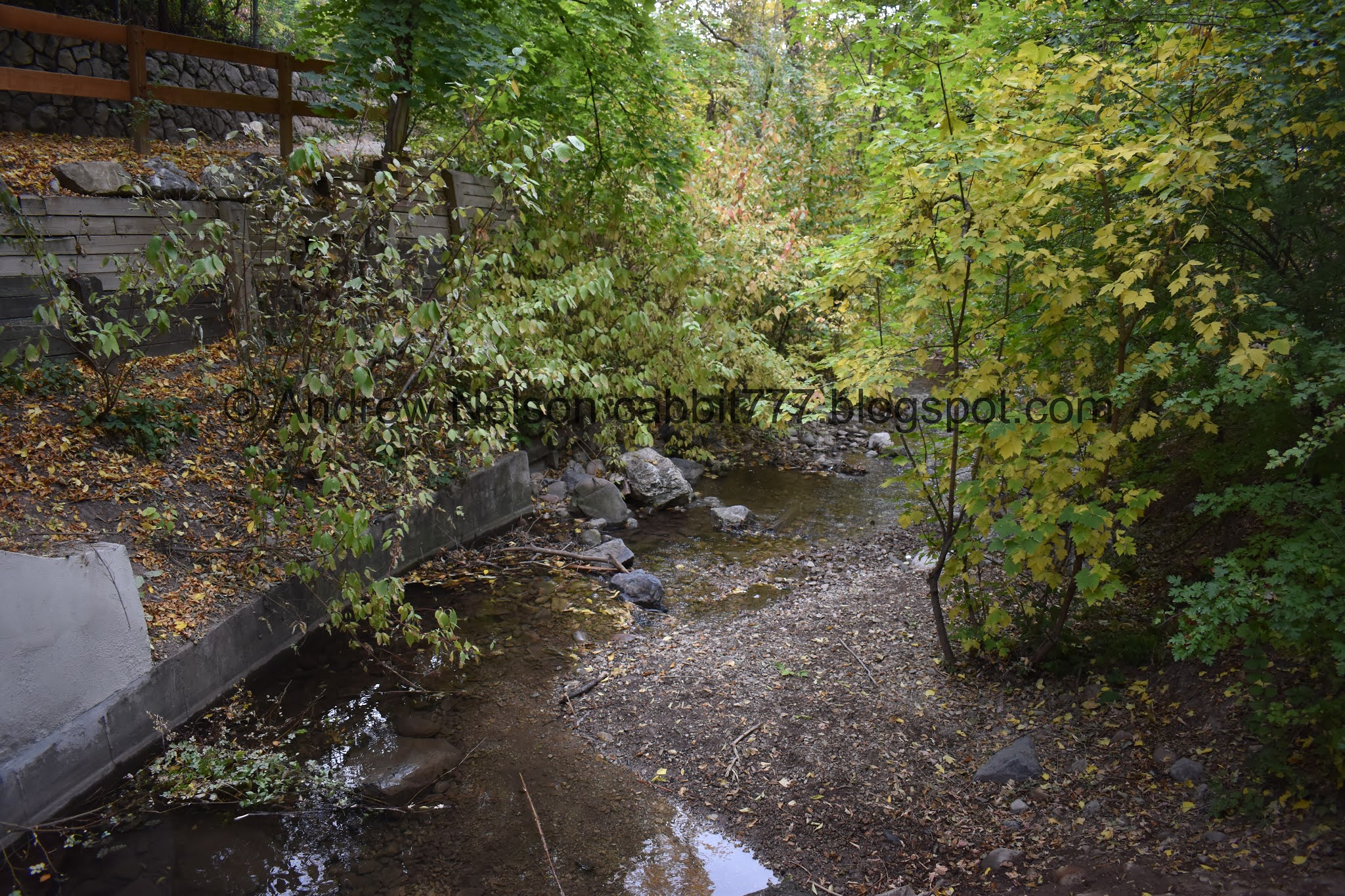
Red Butte Creek. We explored the upper section of this creek doing the Red Butte Skyline Trail.

Squirrel!

The creek again.


More color.

Little waterfall.

Huh. This is different somehow. I can’t exactly say what it looked like before, but it looks different. Might just be the fence.


Lots of color.


At the top of the hill you officially enter the preserve. These signs are new, and it didn’t used to be so obvious the 2 properties were separate.
The preserve was donated to Salt Lake City in 1935 by Minnie Miller, in honor of her husband Lee Charles Miller. She envisioned the area to be a sanctuary for wildlife and children.
.

The lower bridge. Well cross that on the way down.

Some color.


Old staircase.


Lots of color to enjoy.

The upper bridge.

Older bridges have so much more character.


Another squirrel. These kind of look the the fox squirrels I heard have recently moved into Utah.


Some more color.

This sign talks about how removing invasive plants is highly beneficial to our native wildlife.


The creek below.

Trail split. I think the left is just a more direct route to the east entrance.

The east end of the park has a bunch of stairs and alcoves.

The same signs with a few minor changes on each end of the park.

Another alcove.

An older sign that explains the same reason the park exists, as well as an interesting story about a 1868 grasshopper invasion and how Red Butte Creek helped. Residents chased the grasshoppers into the creek, where sieves were placed to catch them downstream so they could be destroyed. Nifty.
The creek again.

Heading down the other side.


Some color.

Long staircase.

Looking up.

This sign talked about all the various efforts that go into taking care of this beautiful park. Including the clean up efforts after the 2010 pipeline rupture that released over 33,000 gallons of crude oil into the creek which killed everything in the creek so they have been re-stocking it. It also mentions snails and other aquatic life are returning which is a good sign the creek is becoming healthy again.


It is so pretty in here.

Little waterfall.

So pretty.


More of the color.

The neat old upper bridge again.

This sign tells of President Roosevelts Works Progress Administration to put Americans to work after the Great Depression. The WPA ran from 1935 to 1943 and this bridge, as well as the rock wall supports throughout the park are part of that, as well as quite a few other areas in the Salt Lake Valley.


Another fun fact from the sign, these projects were often from unskilled laborers who just learned how to do it on the job. Which is crazy considering how long a lot of them have held up and how beautiful they are.
We did not cross and continued to explore the south side of the park.


Just enjoying all the foliage.

Back down to the lower bridge. You have to cross over to continue down.

One of many bird houses.

The creek below.

Color.

Well, that is the end of Miller Park.

Now we are re-entering Bonneville Glen.

Particularly colorful patch.

Back down to the waterfall.


With some color.

Looking downstream.


Continuing down the south side.


The creek again.

The big fireplace across the way.


Lovely.

Where the creek goes under 1500 E.

Looking back upstream.


Not your standard cookie cutter Mormon Church. Which is odd since they have a tendency to destroy any of the ones that don’t fit the cookie cutter mold.
I really do enjoy this park. It is just absolutely beautiful and a wonderful mix of a little hand of man, with leaving nature alone to do its thing. Not a whole lot of people, and we got to enjoy what might be the last of the fall colors. 8 out of 10 squirrels.

As for difficulty, It has a couple stairs, and a few ups and downs, but most of it is pretty flat and paved or like paved. DR3.
Dogs are allowed, leashed. Please clean up after your furry friends.

No comments:
Post a Comment