.jpg)
Suicide Rock is a large rock at the mouth of Parleys Canyon. As long as I can remember it has always been covered in graffiti so it’s like the one natural area that I am okay with being tagged the way it is. I take nature the same way Douglas Adams deals with technology. "1. Anything that is in the world when you’re born is normal and ordinary and is just a natural part of the way the world works. 2. Anything that’s invented between when you’re fifteen and thirty-five is new and exciting and revolutionary and you can probably get a career in it. 3. Anything invented after you’re thirty-five is against the natural order of things." Suicide Rock has been this way as long as I have been aware of it, so it's the natural order of things. The glen is best accessed from Parleys Trail. we've done this before, but it's been a few years. Honestly this was a backup plan option I had in case the area I wanted to do was too busy.

Quick Details:
Length: 2.42
Trail Type: Balloon with spur
Difficulty: DR3.
Elevation Gain: About 300 ft.
Restroom: No
Dogs? Yes, leashed.
Other Info: The trail starts at the top meaning you will climb on the way back. It’s paved and pretty gradual, but if you are new to hiking it might not be the best option as you don’t really know what you are getting into until its too late.
To Get Here:
Take i215 to the 3300 S exit. go east. Go forward through the light to stay on Wasatch Blvd. It will curve to the north again. Follow it to the parking lot at the end.
There are a few trail options here you will want take the one at the SW side, going downhill.
The Trail
:
The beginning of Parleys Trail. Parleys trail is nearly complete, but eventually it will connect to the Jordan River Trail.

Heading downhill.

You are right next to i215 and i80 so, its a little noisy until you reach the bottom.

Rabbitbrush.

Tree growing out of solid rock.

 |
| Add caption |
Crossing over i80.

This one crosses i215 and will take you to Tanner Park. But we don’t want that today so we will be going left here. Which will put us on the Bonneville Shoreline Trail.

They cleaned up the plaque.
Suicide Rock got its name from story of an Indian maiden who learned of her lovers death. She climbed to the top and jumped onto the rocks below.
The sign also talks of a historic reservoir that used to be behind suicide rock. An extremely wet spring breached the dam. Since there had been improvements to culinary water, a replacement wasn’t needed so the whole thing was removed.

Suicide Rock.

With surrounding canyon.

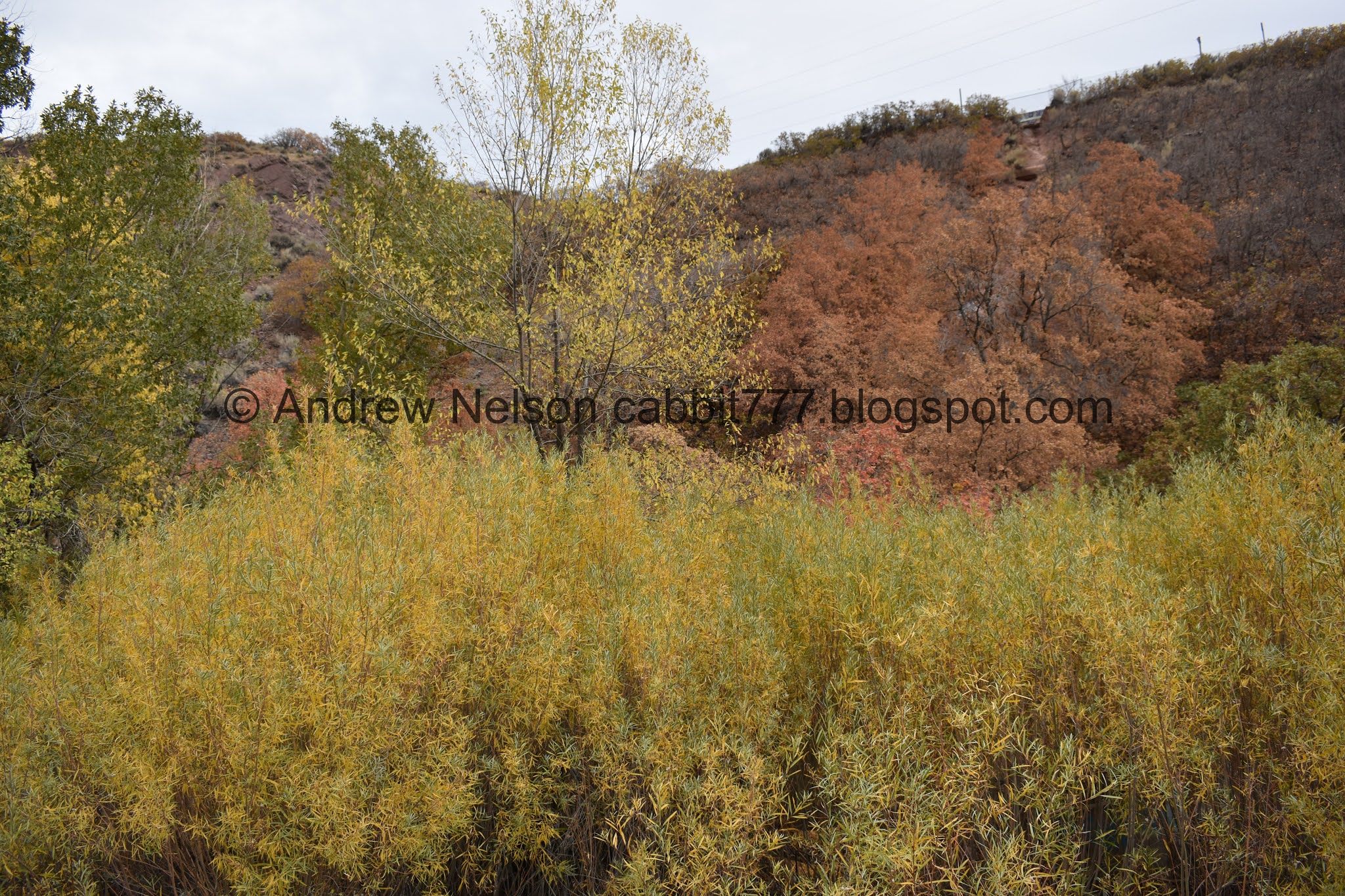
Some great color in the little glen.

Look for the dirt road on the right to turn onto.

It looks worse than it is.
A colorful rock surrounded by natures color.

Closer.

The Tube. This goes all the way under i215 and pops out in Tanner Park. Apparently some people like to raft down it but uh.. yeah that’s a big no from me.


More color.

The rock. And I think you can see a little bit of the remnants of the reservoir attached to it.
I didn’t learn the reservoir was connected to the rock until after our hike and I did some digging so, unfortunately I wasn’t looking for signs of it, I just happened to catch this one.

With some more color.

Another angle. Is it just me, or does that center fin not look natural? I wish I had known I would have turned around to see if I could see evidence on the other side.


The graffiti is just all over the place in here.

Color.

The back of the rock.

More graffiti.

Up at the top I noticed the fence had been peeled back there. An apparent shortcut. But honestly, that looks way too steep to be safe.


Some color. Now we are on the spur part of the trail.

Side stream. This is as far as we made it last time we did this.


More of it.

Parleys creek.

The side stream again. I wonder what causes these to have the thick layer of greenery on them. I have seen other springs have similar growth, like in City Creek Canyon. It didn’t feel warm, so I don’t think it is that. They all seemed to be springs, so they have that in common.

Elmo!


Some color.

Where the side stream comes up as a spring.

Not much further up we found another spring flowing more directly into the creek.

Leftover concrete from something? could be an old road, or the railroad that was here.


More color.

More graffiti.

I love the purple rocks.

More color.

Small waterfall.

From above.

Thinner trail through the sage brush.

Clouds.

It looks like the trail keeps going for maybe a little bit further, but we didn’t feel like scrambling so we called it. Looking at google maps it honestly doesn’t look like there was much more and it just ends at the freeway.

Red rocks.

Back down to the waterfall.

Small rapids.


Willows.

Layered rock.

Lovely reds.

Back down to the big spring.

Rock formations above.


Color.

The creek again.

More color.

Reflecting off the creek.


Back to the loop around Suicide Rock.


Any surface they can reach.


This looks like a much safer shortcut. I think it might be a little steeper near the top. But at least it isn’t a strait drop.


The rock again.

From the front. with a creepy little shack.

Inside.

Really? Even the trees? Come on now.


Looking back towards the rock.

Back down to The Tube.

Now we just have the long climb back up.

Looking back down.

The climb.

Back to the paved Bonneville Shoreline Trail.

Another view of the rock.

Back to the viewpoint where the plaque is.

Looking up Parleys Canyon.

Crossing i80.

Nearing the end.

Mount Olympus.
This is not my favorite trail in the world, which is probably why we haven’t done it in years. But I was thinking of trail alternates to what I wanted to do in case it was busy. But, this was not too busy. I learned some new history and enjoyed some nice fall color. 7 out of 10 squirrels.

As for difficulty, The only real concern is starting at the top. Other wise, it is mostly paved and liked paved with a gradual climb. DR3.
Dogs are allowed, but must be leashed.

No comments:
Post a Comment