.jpg)
Yellow Fork Canyon is a pretty canyon located in Herriman. It features a nice creek and some lovely views. This is also one of the few places where I can almost guarantee you will see wildlife other than Antelope Island, well, deer at least. I always see some deer on this trail. We went up to the middle picnic area today and did a figure 8.

Quick Details:
Length: We did about 3 miles today. But you can keep going to the upper picnic area (4 miles out and back) and even beyond that.
Trail Type: Loop, Figure 8, or out and back.
Difficulty: DR3. super mild climb.
Elevation Gain: About 400 ft.
Restroom: Pit Toilet.
Dogs? Yes, leashed.
Other Info: There is a handy map available here (External link). I highly recommend having it handy if it is your first time.
To Get Here:
From i15 take exit 289 for Bangerter Highway. Go about 5 miles and turn left on 13400 S. Go about 3 miles and turn left on 6400 W,/Rose Canyon Rd. .6 miles later turn right to stay on Rose Canyon Rd. 1.4 miles later turn left to stay on Rose Canyon Rd. About 2 miles later will be the trailhead parking.
Or take Bangerter to 13400 S. Go about 3 miles and turn left on 6400 W,/Rose Canyon Rd. .6 miles later turn right to stay on Rose Canyon Rd. 1.4 miles later turn left to stay on Rose Canyon Rd. About 2 miles later will be the trailhead parking.
From there, cross the bridge over the creek and take the right fork. Or you can hike up the dirt road on the right (north).

Amazing clouds (Passenger Seat Photography (PSP)). We totally took a gamble with the weather today, and I am happy to say we chose wisely and had pretty good weather.

The Kennecott Copper Pit (PSP).

Little closer (PSP).

Deer! (PSP)

Like the hike, the canyon road is pretty a pretty mild climb and not much to worry about (PSP). Just keep your eyes open for deer.

I don’t know why, but this particular peak always draws my eye. Also note, the overflow parking is practically empty. Much less people here than the last time we were here.
The Trail:

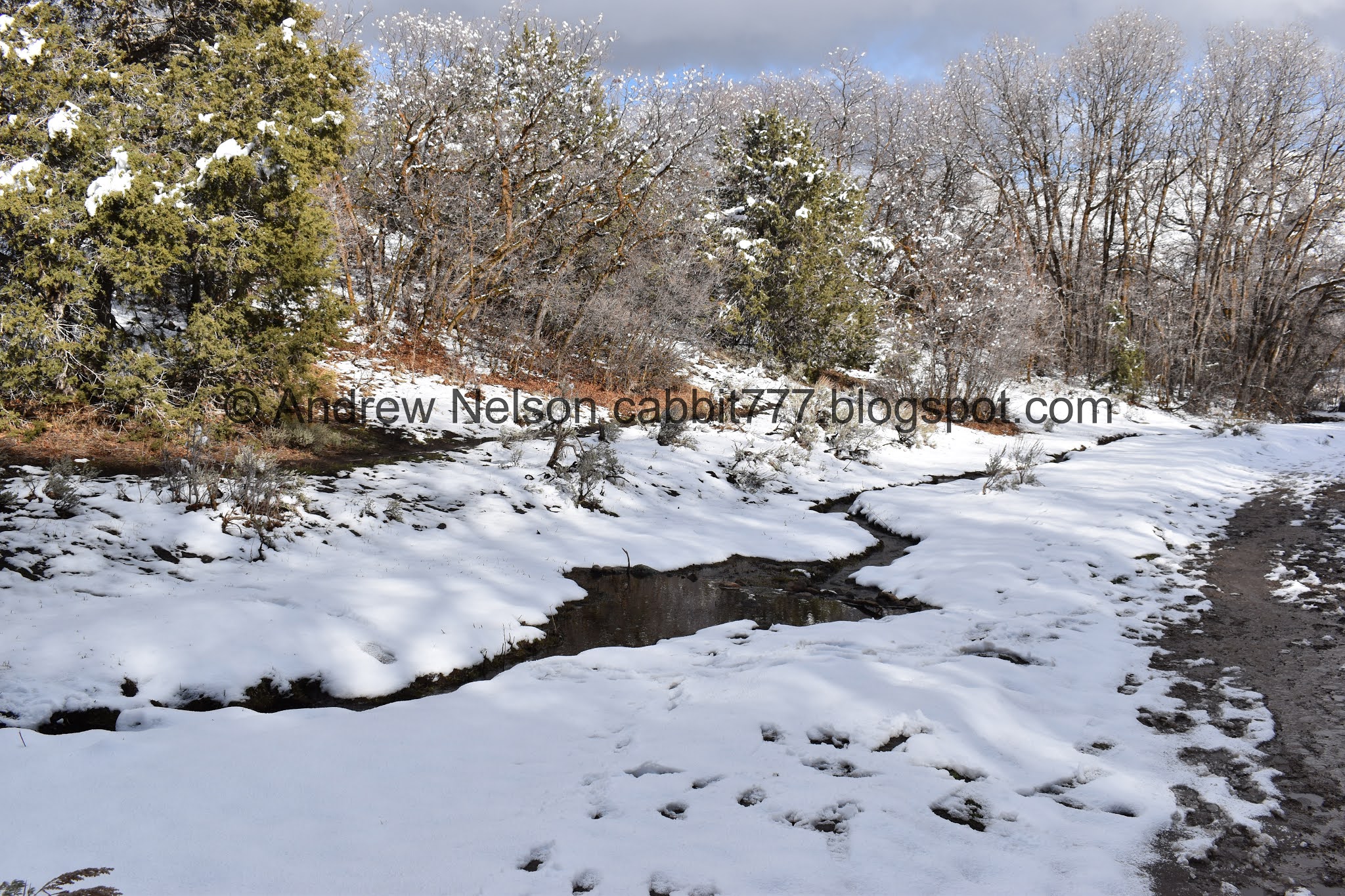
Rose Creek.

This is one of those wonderful trials that offers a loop on either side of the creek. To hike the left, south side, cross this footbridge here. To hike the right, north side, continue across the automobile bridge, and hike up the dirt road above the smaller parking lot. We decided to hike down that today, so I will have shots of that below.

Trailhead sign.

Rose Canyon and Rose Creek.

Where Yellow Fork Creek (left) and Rose Creek (middle) join. It continues down to the right as Rose Creek.

Continuing up Yellow Fork Canyon.


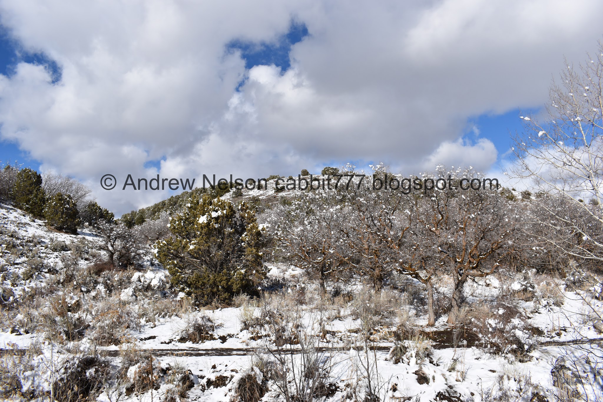
It is a beautiful sunny day after a fresh dusting of snow. Makes for some pretty hiking!

Short spot that the original trail was starting to collapse into the creek so it was rerouted.

Snowy hillside.

Pretty snowy trees.

Starting to open up a bit. The creek has worked itself down into a deeper chasm here.

Pretty woods.

Looking back down.


The creek below.

Junipers across the way.

Yellow Fork continues up to the right. Left will take you towards Big Rock, which is also a nice trail.

Looking into Yellow Fork.

And Big Rock.
We did Big Rock last time so we decided to stay in Yellow Fork.

The creek below.

The lower picnic area.

Above the trail split the creek is in a much more shallow bed.
Now we will follow the old dirt road for a bit.

The darker colored leaf absorbs more heat from the sun than the surrounding snow, so it starts to melt the snow beneath and work itself down. This is the best example of this I have seen so far! It really has worked itself in deep!

Not much of a creek bed at all.

There is almost as much water coming down the trail as is in the creek.

View up canyon.


Forest.


Super pretty today.

Here the road crosses the creek, and a thinner trail continues to the left. we decided to stay left.

The creek again.


Through the woods.

Looking up.

Couple of fallen trees. I wonder if they are victims of the crazy wind storm back in September, or just the late winter.

The creek again.

Looking across the canyon.

Down canyon. Man those willows pop against the snow.

The creek.

Some aspens or maybe birch. Not sure. They do seem different than the aspens I am familiar with somehow, but I can't say for sure.

Forest.
View across the canyon again.

Snowy trail.

Snowy hillside.

Lots of snow up here.

Snow falling off of the trees.

Snowy forest.

More tree damage.

A nice and pristine snowy area.

A lot less people have gone through this area. Maybe we should have stuck to the road. We wore appropriate boats and gear, but we were both getting tired of trudging through the snow.

More forest.

Bend in the creek. You can also see the road on the other side of it.

Creek again.

At just short of 1.5 miles we made it to the middle picnic area. The road also crosses back over the creek here.

The dirt road continuing up. Doesn’t look like it has seen much traffic recently. It’s only about another half mile to the upper picnic area, but we were done trudging through the snow so we thought the middle picnic area made an alright destination for the day.

The creek again.

Hillside.

It’s a nice little picnic area.
After resting for a bit we decided to head on down and stay to the other side of the creek.

Heading down the wide dirt road.

Snowy hills.

The creek again. I am pretty sure I caught this exact bend from the other side.

Juniper Trees.

Couple of muddy spots, but nothing too bad.

The creek again.

More of the hillsides.

Winter wonderland.

View down canyon.


More hills.

Water flowing through the ice. Doesn’t seem cold enough for ice to still be clinging on.

Down canyon again. Man those willows really pop.

Hills.

Closer to the willows.


Forest.

Where the dirt road crosses back over the creek. There is a trail to allow you to stay on this side of the creek, I just didn’t immediately see it. So, we stayed on the dirt road which ruined my loop idea, slightly. so I guess we did a figure 8.

The creek again.

More snowy forest.

More storm damage.

Down through the woods.

Here you can see the trail on the other side of the creek.

More storm damage.
The creek.

Nearing the lower picnic area, where the road crosses back over to the north side of the creek.

Crossing the creek.

View down.

Lower picnic area.

Where the Big Rock Trail splits off.
Last time we were here we were surrounded by deer here.

The creek in it’s deep gulley.
Kind of makes me wonder if there is a hidden waterfall somewhere, or if it really goes from practically no creek back to this deeper gully gradually enough to not really notice.

View down.

Hills.

View down again.

The creek again.

More creek.


Hillsides.

Back down to the gate.

As long as I have explored this trail, it has been closed to all vehicles. But, maybe it is temporary? I donno.

Yellow Fork Creek (right) joining Rose Creek (left).

View down, with the neat horn formation that I like.

With fun clouds.

The “horn” is much less exciting this far down (PSP).

Whoa. Lots of deer (PSP).

Storm clouds obscuring the mountains across the valley (PSP). I think we chose wisely today.

Big Cottonwood Canyon filled with storm clouds (PSP).
Well, that was nice today. Nice and quiet, without a lot of people. Beautiful clear skies with a fresh dusting of snow. Plus a random wildlife viewing. Not much of a destination, but I just enjoyed getting into the mountains. 8 out of 10 squirrels today.

As for difficulty, it’s a pretty mild climb, weather you take the trail or the old dirt road. DR3.
Dogs are allowed, leashed.

No comments:
Post a Comment