.jpg)
I have been slowly making my way along the Jordan River Parkway. It’s about 45 miles long so I do it in small segments. This particular segment is quite lovely. Quite a bit of it is open space and unspoiled.

Quick Details:
Length: 3.6 mile loop.
Trail Type: Loop, or out and back.
Difficulty: DR2. Its paved and practically flat.
Elevation Gain: About 30 feet.
Restroom: At both ends! However I think they are closed in winter.
Dogs? Yes, leashed. Please clean up after your furry friends.
Other Info: Cities: South Jordan, Riverton, Draper. JRP Mile Markers: 18
To Get Here:
Take i15 to the 11400 S exit, head west. Go about 1.15 miles and turn right on River Front Parkway. Go about 500 ft and turn right into the East River Front Fishing Ponds.
The Trail:

Trailhead kiosk.

These ducks are pretty chill.

Kidney Pond.

The ducks again.

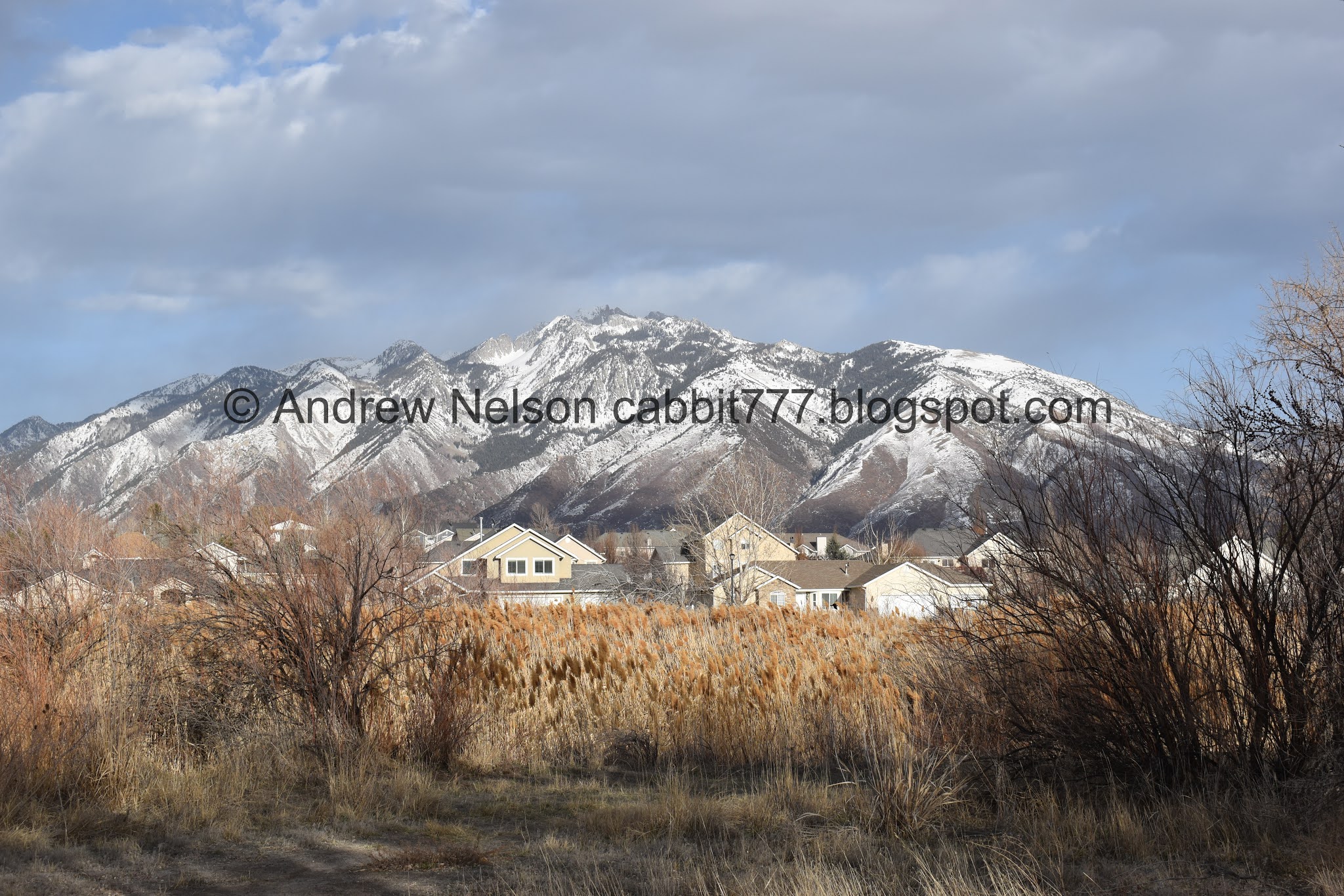
Kidney Pond and Mount Jordan.

Where Kidney Pond connects to Riverfront Pond. I wasn’t sure if this was an inlet or an outlet, but considering Midas Pond to the south is a bit higher up, I am guessing it is an outlet.

Riverfront Pond.

Mount Jordan. The current cold front is blowing a lot of dust into the valley.

Riverfront Pond.

Panoramic.

Heading under 11400 south.

The river under the bridge.

The sign said JRT Connector <- I misunderstood it as being a connector trail. But, all is not lost as both trails follow the river and connect again at Roi Hardy Park. I did wonder why most people seemed to veer to the left haha, I am an idiot.

Neighborhood to the right, wild to the left. At least it seems far enough away from peoples yards.

Phragmites and trees.


Mount Jordan looking a little faded with the extra dust in the air.

Phragmites and Point Of The Mountain.

I spent the majority of my life east of i15, and well, passing through the valley on i15. So it still blows my mind when I realize I can see Mount Timpanogos within the Salt Lake Valley. I am thoroughly enjoying being able to explore this end of the valley more.

Magpie.

Short section that is a bit closer to peoples back yards than I would like, but meh. Not that bad.

Mount Jordan.

Point of the Mountain.

Mount Timpanogos again.

Geese!

Mount Jordan again.

Panoramic. Mount Olympus, Twin Peaks, Mount Jordan, Mount Timpanogos peeking through the gap, and Point of the Mountain.

A quick glimpse of the river.

Well hello buddy!
This is the 2nd time I have unexpectedly run into deer along the Jordan River. Really not something I expect to see in the middle of the valley. But a welcome delight.

Mount Jordan again.

Bend in the river.

The trail. Honestly, I just liked the way this one came out.

The river again.

With some ducks.

With Mount Jordan.


The river again.

Another panoramic.

I am not quite sure when, but at some point I crossed from South Jordan to Riverton. Either I missed it, or there wasn’t a sign. I like their fancy benches.

Little glimpse of the river.

Little pond. If it is named, I can’t seem to locate it.

Trail side micro library. I love seeing these.

Little Cottonwood Canyon.

Little boardwalk into a small, unnamed (as far as I can tell) wetland.

To the south.

With some ducks.

Clear water.

Still south.

With the mountains.

To the north.

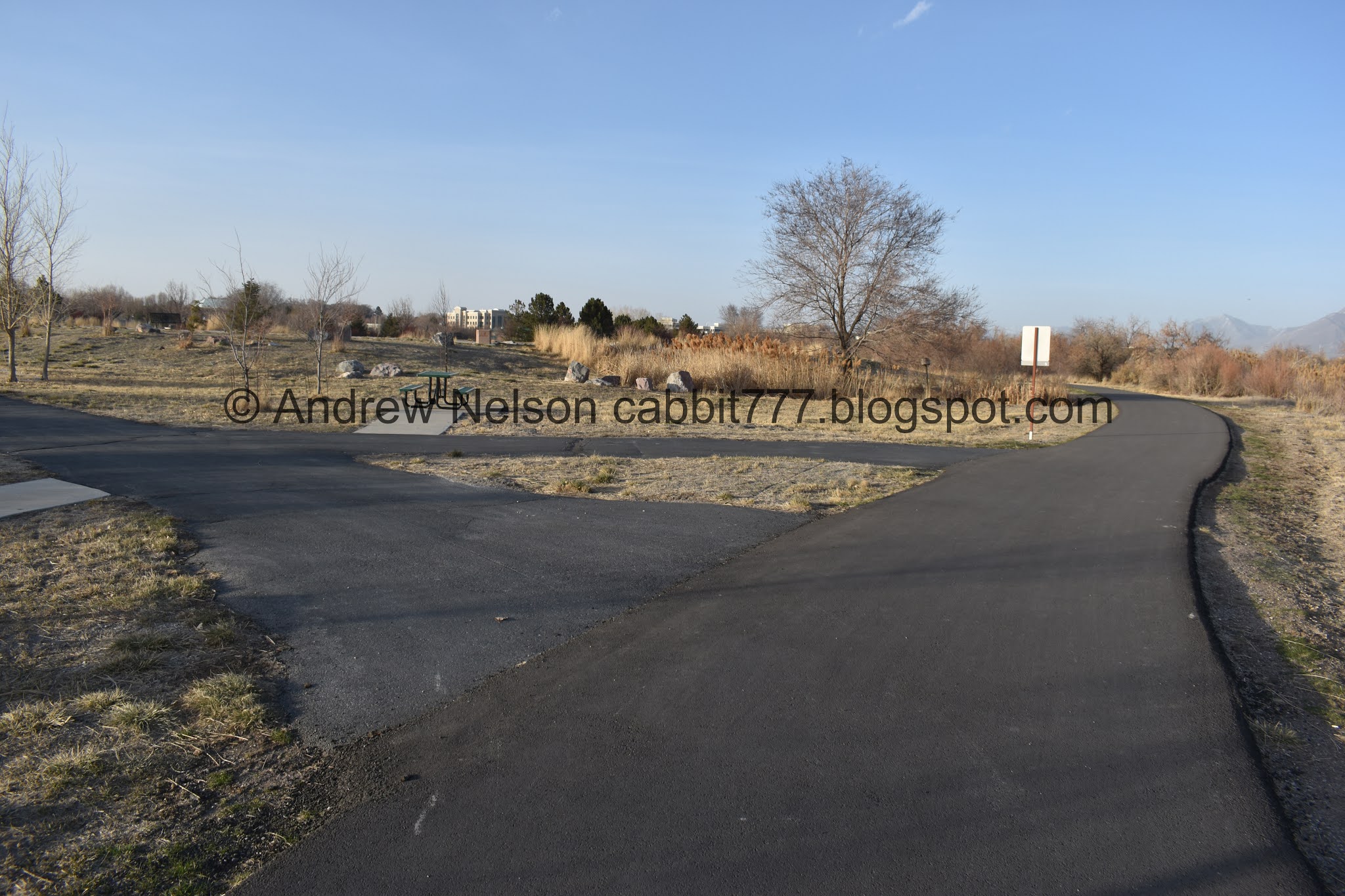
Back on the main trail.

Mount Timpanogos again.

Robin.
Mount Jordan again.

Dr. Roi Hardy Park (shortened to Roi Hardy Park).

Trailhead sign.

Well. There is a Riverton city sign here at least.

Bridge over the Jordan River.

The history of the bridge here. It went through 4 iterations of carriage and vehicle use, then in 1981 it was deemed unsafe and closed to automobile traffic, Then in 2001 it was rebuilt as a pedestrian bridge as part of the Jordan river Trail project. Fun.

Jordan River looking south.

Looking north.

Entering Draper.

Reconnecting to the main Jordan River Trail. There are more official signs. Whew.
I have about a mile segment to connect from here to the previous segment I jumped ahead on. I probably could have added that on to what I did today, but decided not to push myself and returned via the main Jordan River Trail on the other side of the river.


Heading into the floodplain.

Panoramic of the mountains.

Just Mount Jordan.

Point of the Mountain.

Another panoramic.

Oh neat. You can see The Jordan Narrows from here.

Mount Jordan.

A nice view of the river.

From the other way.

I have the sneaking suspicion this might have been manually rerouted for whatever reason.

The river is pretty shallow right now.

Looking back.

Where it swings back.

Bullocks Oriole nest. As described from the JRP trail map.

Some kind of varmint tunnels.

Tiny stream.

Unexpected, un-signed trail split. I assumed right was a neighborhood connector, and decided the safest bet was to stay on the side near the river (left). This is the most random, useless trail split ever and ether way is fine. Right is probably just a smidge shorter.

Where they reconnect, and connect to a connector trail.

Phragmites obscuring the river.

JRP Mile Marker 18. I feel like I should have seen another one in this segment. Then again MM 19 is not far from the next trailhead. Eh. I guess I will know for sure when I do the next segment.
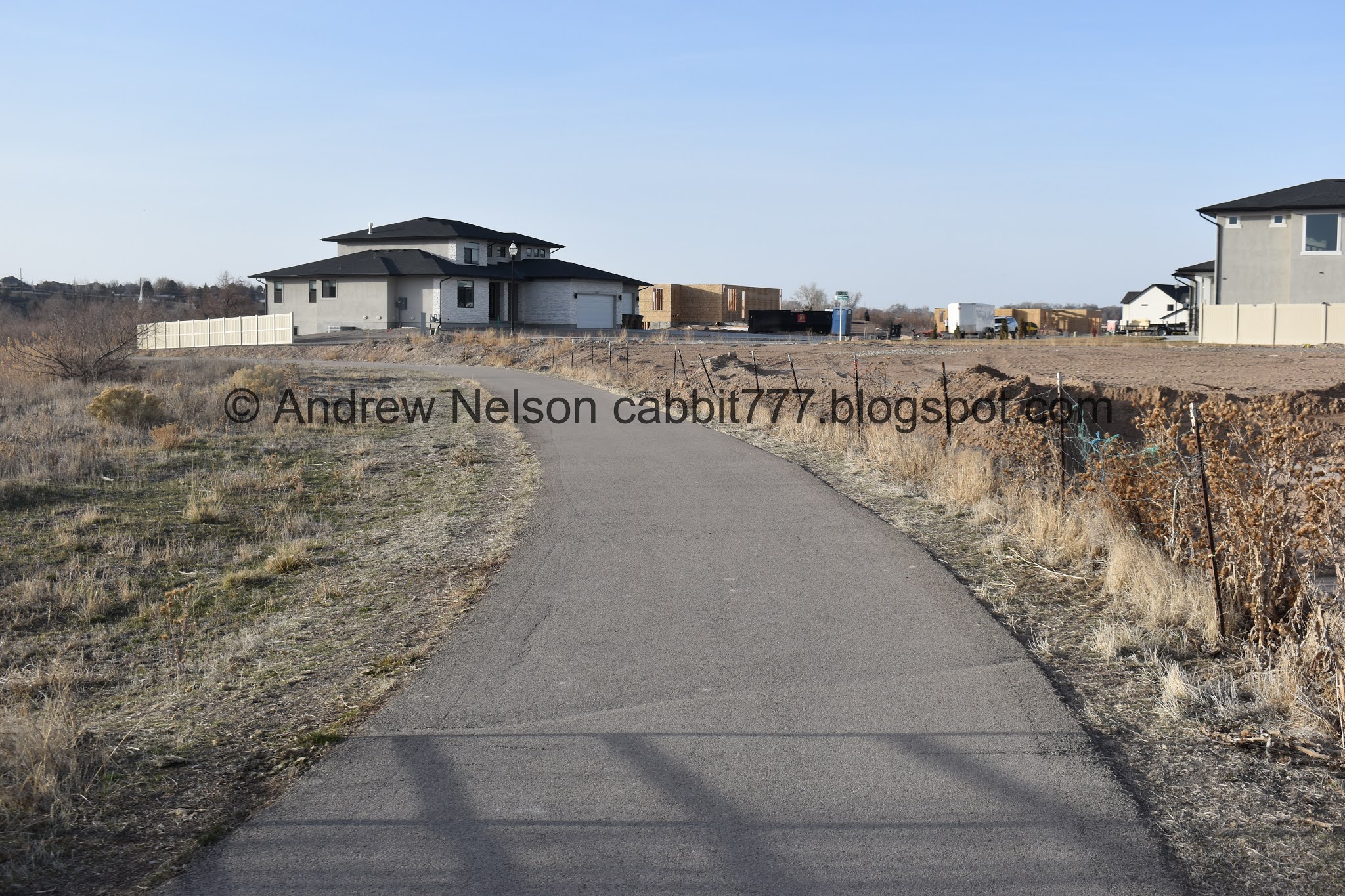
Looks like a new development is coming in. Might be a lot more houses here soon.

Phragmites.

The river is in there somewhere.

Draper’s benches are a bit less imaginative.

Oh boy, that is a long bridge!

Closer.

Again, it says JRT Connector. It should say JRT Trail. If I didn’t know, from making the mistake coming from the other direction, I might have kept going forward, which is a connector trail. Oi. Most of the JRP trail so far has had excellent signage. This particular segment leads some to be desired.


As mentioned, it is a longer bridge, but it is certainly sturdy and feels a lot safer than some of the others along the trail.

The river to the south.

To the north.

Re-entering South Jordan. This is right about were the loop connects as well.

Oh I found the start of the South Jordan quarter mile markers. I see it was an Eagle Scout project, but no other information. I guess it is pretty clear that it is mile marker exercise thing but yeah.

The other side. It goes for 3 miles.

Under 11400 South again.

Back to Riverfront Pond.

Kidney Pond.
The part I left off on from the next north segment.

Midas Pond, the 3rd and final of the East River Front Park Fishing Ponds.

Panoramic.
I really enjoyed this segment. Pretty natural, nice views of the mountains, a delightfully unexpected wildlife encounter, and it wasn’t too busy, even on one of the first warm weekends of the year. I am surprised I didn’t see any hawks here, maybe the wind kept them down. Anyway, 8 squirrels out of 10.

As for difficulty, it is paved and fairly flat. DR2.
Dogs are allowed, but should remain leashed. Please clean up after your furry friends.

No comments:
Post a Comment