.jpg)
I have been slowly working my way along the Jordan River Parkway. This particular section is quite lovely. There is a short spot that is close to a main road, but otherwise it feels pretty wild. It offers amazing views of the mountains, and even offers a good opportunity to see hawks!

Quick Details:
Length: I did about 3 miles out and back, but you could do a shorter 2 ish miles to the Riverbend Trailhead and back.
Trail Type: Connector, Out and back.
Difficulty: DR2. It is paved, and pretty flat.
Elevation Gain:
Restroom: Multiple options, although I am not sure if they are open during the winter season.
Dogs? Yes, Leashed.
Other Info: Cities: Riverton and Draper. Mile Markers: 16 and 17.
To Get Here:
Take i15 to 12300 South and head west. to 1300 West. Turn right. Turn right on 12400 S. Go to the end to Roi Hardy Park.
The Trail:

TH Kiosk.

The bridge over the Jordan River.

The river.

The river itself is state property, so that is why we find a lot of city borders on either side of it. Here we are entering Draper.

Storm over Point of the Mountain.

Corner Canyon.

On the other side of river is the next park/TH: Rotary Park. These are literally only separated by the river, so it seems a bit excessive haha. But I guess, there isn’t anything wrong with more city parks.

And then mile marker 17. Okay, right on the edge, that is why I didn’t see another mile marker in the longer previous segment.

This short section is fairly close to 12600 S. which is a little busy. But its short.

Oh! Sure I will participate is some citizen science!

Not the exact image I captured, but a close approximation.

In December 2011 the river had eroded all the way to the trail. Over 80 feet of bank was restored.
Huh. Looking closer at some of the smaller images on this sign, I am wondering if my assessment of the previous segment being diverted by man. Looks very similar to this.

The re-routed river.
I don’t know how I feel about this project. If the cutting in was due to hand of man, yeah I think we should fix it. But if it is nature doing its thing, I kind of feel like we should let it, and adapt to it. Considering I do not know all of the facts I am just going to go with, I assume they know what they are doing.

Bird watching tips, and a small sampling of some of the birds you might see.

Heading under 12300 South.


I love the 3d mural underneath it.

The river.

Again.

Rolling hills and the river is hiding in those weeds somewhere.
Mountain views.

Little forested section.

Hawk #1. This one flew right over me, but it appears to be one of our smaller hawks, and by the time I registered it was a hawk this was the best shot I got. Sign. New rule, bird flies directly overhead, take a picture!

The Riverbend Trailhead (S. County Park) is about an additional .45 miles if you want to use that as an alternate ending/starting point. It is 4/10’s of a mile to here so it would be .85 miles one way.

Little rapid.

Fishing the Jordan River.

Some of the animals and plants you might find along the Jordan River. Personally so far I have seen: Red Fox, Mule Deer, Red-tailed hawk, Barn swallow, Mallard duck, Canadian geese, American robin, red winged black bird, Russian olive, foxtail barley, Sagebrush, and common cattail here. Most of the others I have seen elsewhere as well. Except for a skunk. I have yet to come across a living skunk in the wild. I should probably count that as a blessing though.

More of the forest.

Duckies!

Point of the Mountain.

What little we can see of Mount Jordan beneath a storm cloud.

What have we got here?

Well, I am pretty sure it is a hawk, but its pretty hard to identify in silhouette.

I kept hoping to find an angle with better light conditions, this is a little better.

Little better.


Now that I can see the front a little bit better this could be a Red-tailed or a Coopers. Between the tail shape, and where it is choosing to perch, I am leaning towards the latter. But again, really hard to tell for sure with this lighting. So, I should just be safe and call it a hawk.

Point of the Mountain again.

More ducks.

Better view of Mount Jordan.

Little swampy area.

More forest.

Entering the floodplain.

You can see the Jordan Narrows from here.

Mile Marker 16. I don’t know why I like to document these, but its a bit like a souvenir token. A way of proving I have been to this mile on the parkway. Meh, I’m weird. sorry.

I’ve said it before, but Draper sure didn’t go out of their way to be imaginative with their benches, unlike most other cities we have passed through so far.


Entering the Galena Preserve.
In 2009 a conservation easement was made which preserved the area indefinitely. This is due to an archeology study done in 2006 that found a 2400 year old pit house and more than 28,000 artifacts.

The floodplain.
I saw a 3rd hawk around here, but didn’t catch it on camera.

Neat red orange plants.

Kennecott Copper Pit.

The floodplain.

Little marsh.

At about 1.4 miles I reached the point where I had left off from the other direction, right in front of the eBay building. I decided to push on to 1.5 miles. So, A little bit of overlap.


Fun clouds.

Under the clouds.

Well, I hit 1.5 miles, so I decided to head on back.

I am enjoying the cloud cover.

Red-winged blackbird. They like to hide in the reeds. Their song is very pretty too.

More of the red-orange plants.

Fun contrasting colors.

The little marsh again.
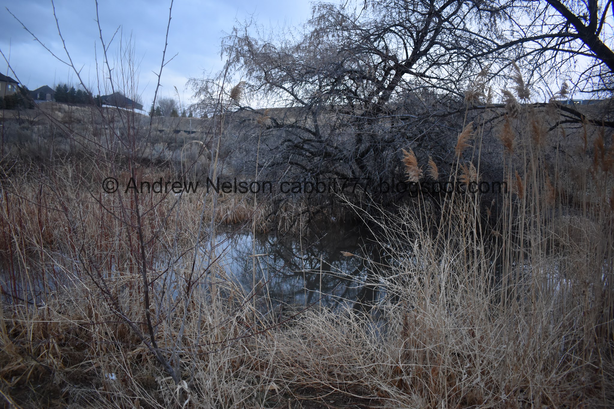
Guess it is a little bigger than I thought.

Back to MM16.

South towards the Jordan Narrows.

North.

Into the woods again.

With moody skies.

The river again.

Moody skies.

With trees.

The trail.


More trees.

The bridge that leads to the Riverbend TH.

The river to the south.

To the north, with the little rapid.

The rapid from the side.

Mount Jordan.

More moody clouds.

Heading back under 12600 S.

Mount Jordan.

Corner Canyon.

MM17.


Back to the bridge to Roi Hardy Park.

Bend in the river.

Mount Jordan.
I really enjoyed this section. Other than the short bit near 12300 S. it seemed really wild and just lovely. Saw a few hawks, and not a lot of people. 8 out of 10 squirrels today.
As for difficulty, it is paved and pretty much flat. DR2.
Dogs are allowed, but must be leashed. Please clean up after your furry friends.
No comments:
Post a Comment