.jpg)
This is a great section along the Jordan River Parkway that features wildflowers, wildlife, a lovely garden, some great informational signs, and the Little Cottonwood Confluence. We do this section fairly often, but I think this is the first time we have completed the full loop.

Quick Details:
Length: About a 3 mile loop.
Trail Type: Out and Back, loop options.
Difficulty: DR2 - DR3. There is a paved option out and back, and a flat non paved options.
Elevation Gain: NA
Restroom: Yes, one at Arrowhead Park and one at Germania Park (the north parking lot).
Dogs? Yes, leashed. Please clean up after your furry friends..
To Get Here:
Take i15 to 5300 S. head west for about 1.1 miles to Riverside Dr. Turn right. You can either immediately turn left, and park, or drive an additional .4 miles and park. The latter option is where the restroom is.
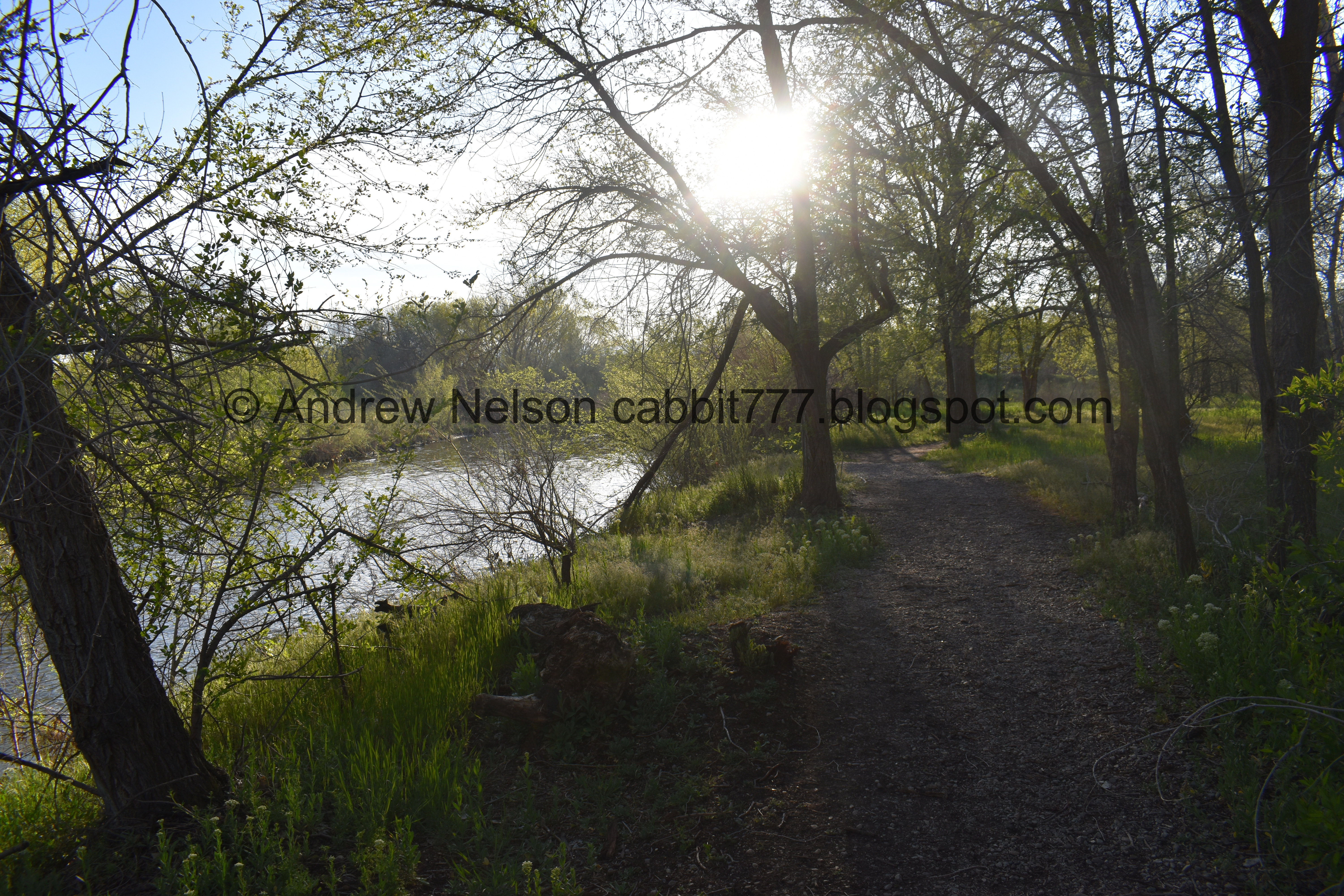
The Trail:


We were all kind of blown away by how much it greened up since last week.

We decided to depart the main paved trail and head over to the river. The more major alternate trails got a fresh layer of bark lining this spring.

Nice view of the mountains.

This trail is not paved, but it is like paved for the most part.

Plus it is next to the river.

Little bridge.

Another one.


Mountains again.

The river again.

Bridge. You can cross over here and keep heading north, or come back that way, we chose the latter.

Where some small stream enters the river.

The river again.

We are above the high riverbank wall that we call the bird wall, because bank swallows and kingfishes nest in it.

Speaking of which, the bank swallows have arrived!

The other direction.

Back down to the level of the river.

Back up on another high bank.

I found some flax growing in a restoration area.

Entering the Hunters Woods.

The river again.

Another side stream.

The river.

More woods.

Another stream.

I thought the river seemed higher today than last week, that is until we got here. This is the first time I have seen Goose Island.

Goose Island is aptly named.

Little Cottonwood Creek.

This is the first time I think I could see the bottom of it here.

On the other side of the bridge we can see the Little Cottonwood Confluence.

Goose Island again.

The confluence again.

More geese.

I love that I am starting to see these signs near our waterways.

Little goose family.

Using the sidewalk on Murray Taylorsville Rd. We crossed over the river to the other side.

There is a lovely garden in Little Confluence Trailhead Park, where I found some nice iris’.

More flax.

Back into the woods. I think this is still part of the Hunters Woods.
Just after this there is another split, left will take you along the river, right continues through the woods. We went right today. Both meet up again not to much further.


More woods. And again, not paved, but almost like paved.

I love this stump that looks like a toilet.

Before long we reached the river again.
The trail thins a bit though here, but it is still quite lovely.

Interesting flowers. I think they are in the mint family.


More pretty woods.

Large fallen tree.

Google showed a random pond back here somewhere, so I tried a couple random side trails, until I finally found this. Not a whole lot to it.

Then we had a lovely visit with a hawk. I am leaning towards a coopers.

Handsome bird.

And he’s off!

Okay, bye!!!

As we approached the “bird wall”, I heard the unmistakable chatter of a kingfisher. I saw it, but I didn’t capture it.

The “bird wall” again.

If you zoom in a bit, you can see a bank swallow entering one of the holes.

The river again.

Another bank swallow heading home.


The bridge. You have to cross back over, as far as I can tell there is not an additional trail on this side of the river back to the TH.
Downstream.

Upstream.

The trail.

More lovely woods.

Splashdown!

Geese.

With some duck friends too.

I love these little purple flowers, but they are stinky. They are a non native weed called cross flower or purple mustard.
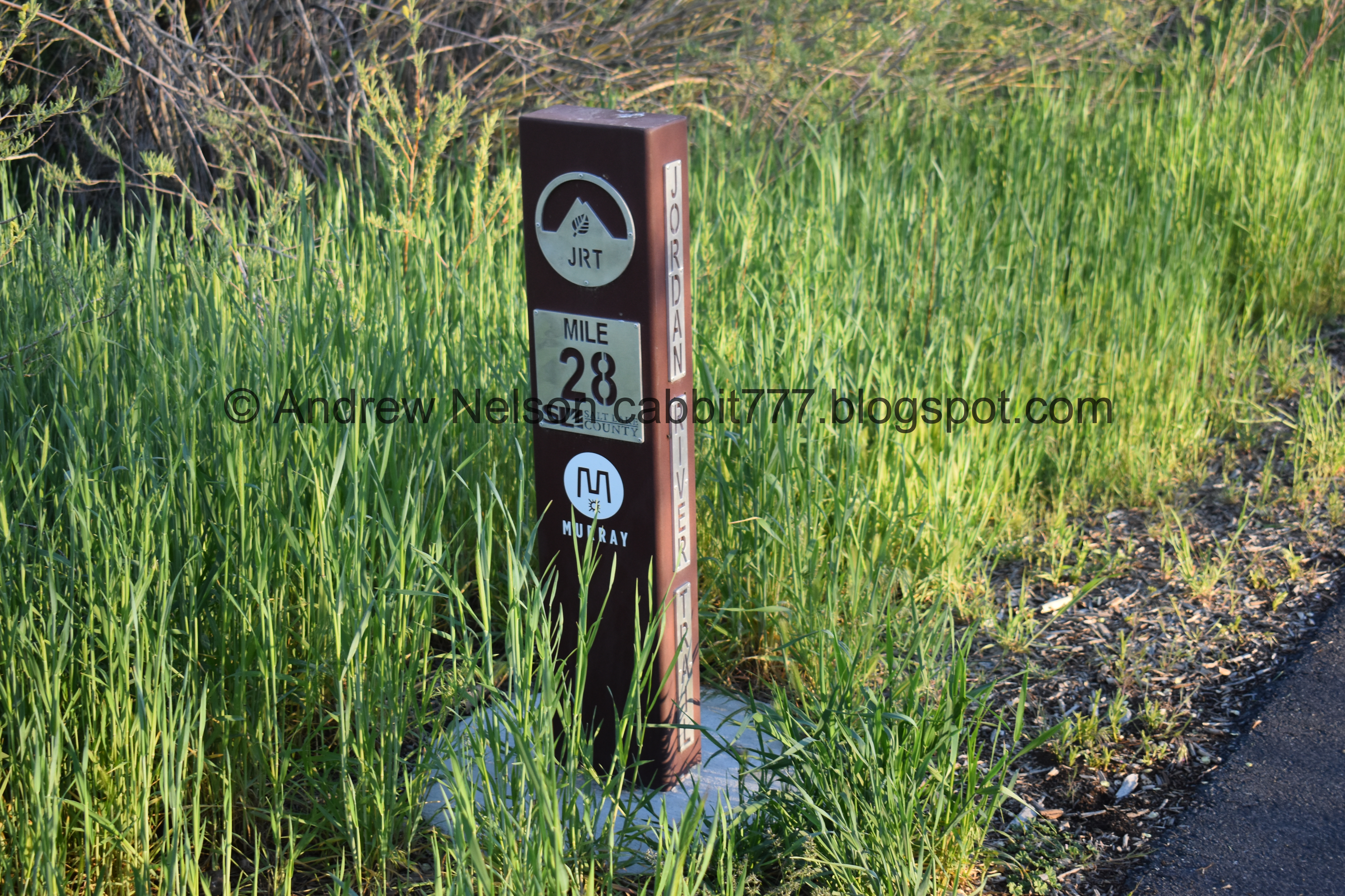
Mile marker 28.

A final view of the mountains from the parking lot.
We have done this section quite a few times, in various different ways (there are quite a few options) but I do believe this is the fist time we did the FULL loop from 5300 south to 4700 south and back. I really enjoy how wild it is, as well as having different options. Plus, for being in the middle of the city we tend to see some great wildlife here as well. 9 out of 10 squirrels.
As for difficulty, Al trails are pretty flat, with a couple small higher banks to climb, but they are well packed, gravel, or bark-lined. so DR3 for that. There is also the completely paved (well, with a short boardwalk section) DR2 for that.
Dogs are allowed, and should remain leashed at all times. Please clean up after your furry friends.

No comments:
Post a Comment