.jpg)
The Mill B South interpretive trail is a short little trail, that I imagine one day will include interpretive signs along the way located in Big Cottonwood Canyon. It features two nice little waterfalls and some great forest views. We didn't have a lot of time today with family events so after a quick jaunt up to Hidden Falls I was wanting just a little more, so we decided to do this as well, because it has been a few years.

Quick Details:
Length: About 8/10ths of a mile out and back.
Trail Type: Out and back.
Difficulty: It is paved with a little bit of a climb. DR3.
Elevation Gain: About 160 feet.
Restroom: Yes, but it is closed in winters.
Dogs? No. Big Cottonwood Canyon is watershed.
Other Info:
To Get Here:
Drive 4.4 miles up Big Cottonwood Canyon to the big S curve. There are 2 parking lots here the Mill B South which is lower on the first curve, and Mill B North which is in the middle of the S. Park in (or near) the south one.
The Trail:

Just a quick reminder to not leave valuables in your car here.

Big Cottonwood Creek is gushing a bit right now.

Area information.

The trail.

Big Cottonwood Creek again.

We passed the Lake Blanche trailhead sign, which is located an absurd distance below the split for it haha. But that is an awesome trail worth exploring as well.

The creek again.

A wasps nest that apparently did not survive one of the recent wind storms. I’m not particularly sad about that.

Cliffs above.

More of the trail.

Here is the actual split off for Lake Blanch, but that wasn’t the destination today.

Little bridge.

Where Mill B South joins Big Cottonwood Creek.

On the other side is a great little waterfall.

Again.

Trees barely hanging on.

Where the pavement end. This kind of looks like a parking lot to me. I wonder if people used to be able to drive up here? It is closer to the trailhead. It would have been a very long time ago if that is the case. I can't find any information to back that theory up either.

Little muddy area. We were able to navigate through without getting muddy.

At the end of the trail is this second little waterfall which is a series of cascades.
Slightly longer exposure.

With the cliffs above.

Gnarly set of trees.

With some fun splashes.

With the cliffs again.

Fun splashes.

Another longer exposure.

Downstream.

Back to the clearing.

Back to the gnarly trees.

Back to the waterfall on Mill B South.

Longer exposure.

Where it joins Big Cottonwood Creek.

Heading down.

The creek again.

Peak above.

Down to the parking lot.

The Broads Fork trailhead. We have not done that one yet.

Big Cottonwood Creek again.

Bottom of the S curve.
.jpg)
Panoramic.

Down canyon, with some moody skies.

Up canyon.

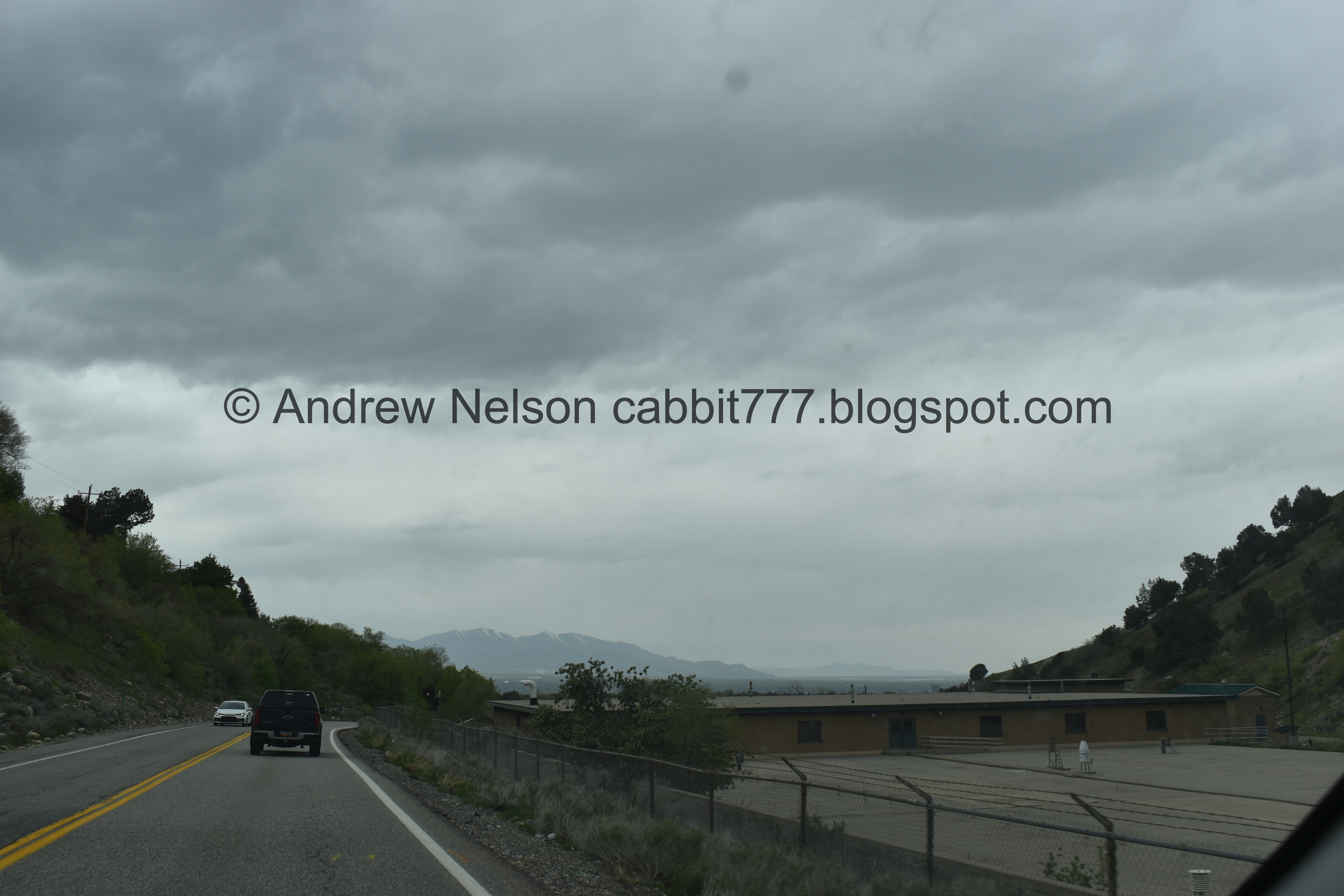
Heading back down the canyon (Passenger Seat Photography (PSP)).

Cliffs (PSP).
The mouth of the canyon (PSP).
So, the interpretive trail is not quite interpretive yet, but I do enjoy the 2 little waterfalls, and it was a great addition when we didn’t have a lot of time. I am actually happy we had to be done early today, because a nasty storm blew in later. It also was not terribly busy, on the trails, and on the canyon road today. Going with 8 squirrels out of 10 today.
As for difficulty, it is paved for most of the way, but a little bit of a climb. DR3.
Dogs are not allowed in Big Cottonwood Canyon due to watershed restrictions. Be sure to leave Fido home.

No comments:
Post a Comment