.jpg)
South Fork Dry Creek is an over grown trail system/service road that leads to an old water tower in Sandy. As I understand it it is proposed as an up and coming trailhead for when they build the Bonneville Shoreline Trail through here. I have been meaning to check out this trail for a little while now and now that I have I have to say, It was way more work than it was worth. I will not be coming back.

Quick Details:
Length: About a mile out and back.
Trail Type: Out and back.
Difficulty: DR4 it is a CLIMB.
Elevation Gain: About 400 feet.
Restroom: No. There is one north at Bell Canyon Preservation Trailhead. Or south at Hidden Valley Park.
Dogs? No this is within the watershed boundaries.
Other Info: This currently does not appear to be a city sanctioned trail.
To Get Here:
The Trail:

I was a little wary due to this sign. But I think they are just trying to keep OHV’s out. If the trail was closed it would say Trail Closed.

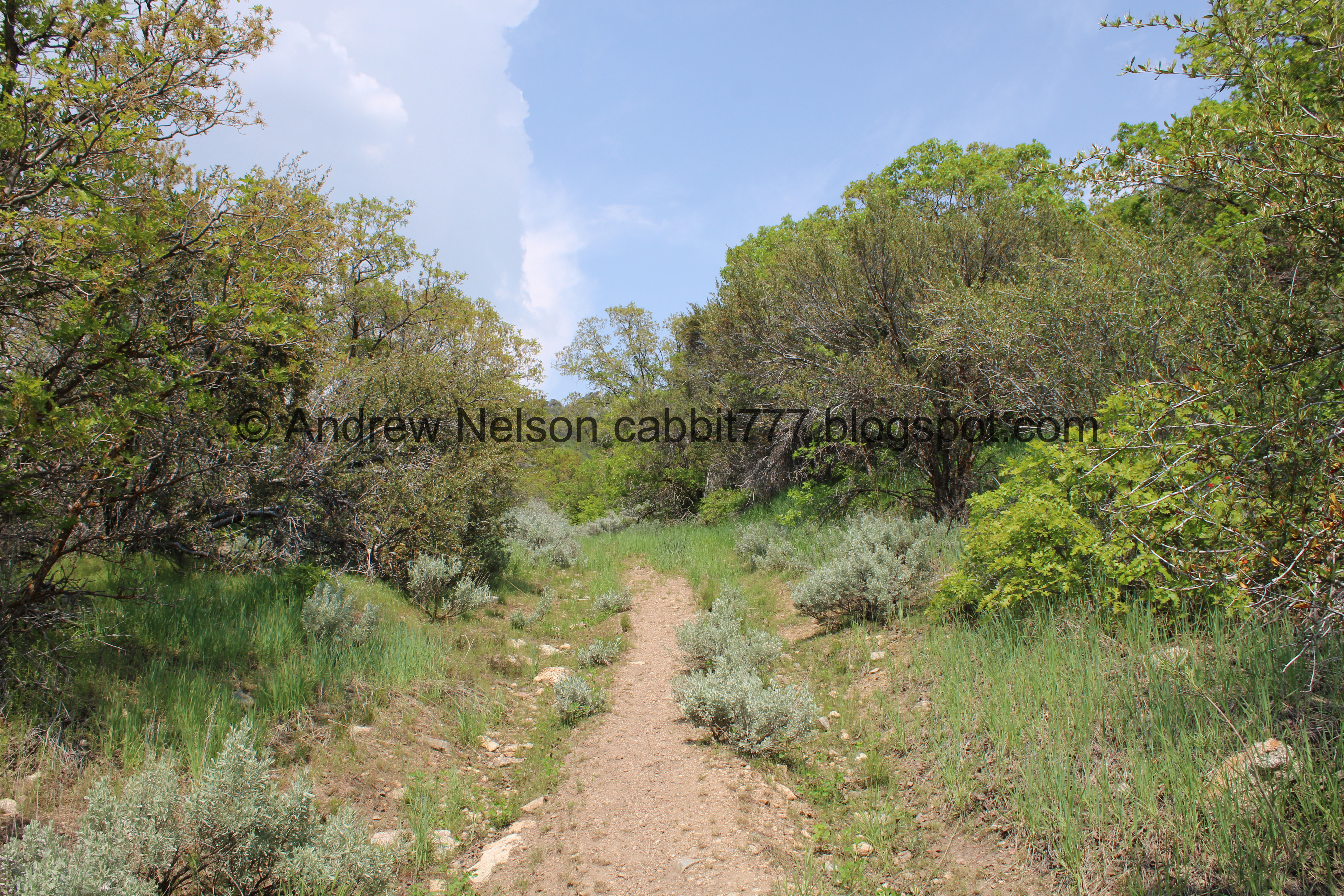
It follows an old double track jeep trail.

Fragrant flowering tree. Google is suggesting cherry laurel but that doesn't seem right.

Then it is single track for a bit.

Sagebrush and trees and Rocky Mouth Canyon.

The hillside.

More sagebrush.
Getting into the woods.

Found a rudimentary camp site. You wanna hang a right here and climb up to the utility road.
We didn’t know that so we continued along.

More sagebrush.

Red-tailed hawk.

Well, the South Fork Dry Creek is certainly not dry right now.
I did not like the thin trail above the swiftly moving creek.

Landis is a lot braver than I am and he went a little further and found this little waterfall. He said it looks like the trail pretty much ends not much further from here anyway, so we turned around.

Smoky valley. Apparently this is smoke from wildfires in Canada that the jet stream is pulling down.

Now we are on the old service road. I was surprised to find it paved.


Pretty forest.

This rock shows signs of quarrying. You can learn more about that at the Temple Quarry Trail.

Holy crap is this a steep climb!


Little side stream line with pretty white flowers.

We reached the bottom of the water tower. Which appears to be mostly buried.

Oi. Still quite the climb. And it is kicking our butts! I am sure the smoky air is probably contributing to that.

We finally made it to the top.

I found another Aerial Target. They use these for aerial mapping.

The water tower is buried and behind a fence. So, meh.

The mountains above.

Some of the water tower is not buried.
Well, there isn’t much to this, we can’t see the creek, so we decided to head back. That really was a lot of work for nothing.

Forested hill.

South Fork Dry Creek joins Middle Fork, and Bell Canyon Creek as they head into Dimple Dell Park.
Looking back at the peaks above.

Forest.

Steep descent.

None of the butterflies were staying put today. But I managed to get a shot of this cute yellow guy.

Very steep.

Back to the dirt trail.

Smoky valley. Perhaps on a more clear day the view might be nice, but that is not enough to bring me back.

The mountains again.

More signs of quarrying.

The pretty flowering trees again..
Like I mentioned, this was a lot more work than it was worth. Maybe it would be better on a clear day, but even then, that is a lot of work for a view you can get on several other trails. 1 squirrel today.
As for difficulty, oh boy is it a rough climb. DR4.
This is above the watershed line so dogs are not allowed.

No comments:
Post a Comment