.jpg)
Alien Tower is an old, what I assume to be, telegraph tower located in Draper. The trail offers some amazing view into Salt Lake and Utah Counties. As well as wildflowers, an off leash dog area, and well, a neat old tower. It’s pretty short, and not a whole lot of elevation gain, but boy can it kick your butt! But it is worth it. It is also a pretty tame peak to bag, for those of us that have height issues. This is another one of our go to trails that we do often but I really enjoy it.

Quick Details:
Length: About a 2.7 mile balloon with spur.
Trail Type: Balloon with spur, Out and back options.
Difficulty: DR3, but a tough DR3. It’s a climb!
Elevation Gain: About 500 feet.
Restroom: Every time we have come here there has been a port-o-potty. However due to the nature of port-o-potties, that is not a guarantee.
Dogs? Yes. Of leash for the main loop, leashed for the spur.
Other Info:
To Get Here:
Take exit 288 for 14600 So. Head east. Turn right on Traverse Ridge Rd, turn right on Deer Ridge Dr . Take that to the end. You will hike the old dirt road over the chain.

Neat old water tower (Passenger Seat Photography (PSP)).
The Trail:

Right from the parking lot you get a pretty good view of Mount Timpanogos.

Remember to keep your dogs leashed until you get to this gate.

Trail signs.

Map of the off leash area.

Ooh, I love the green hillsides!

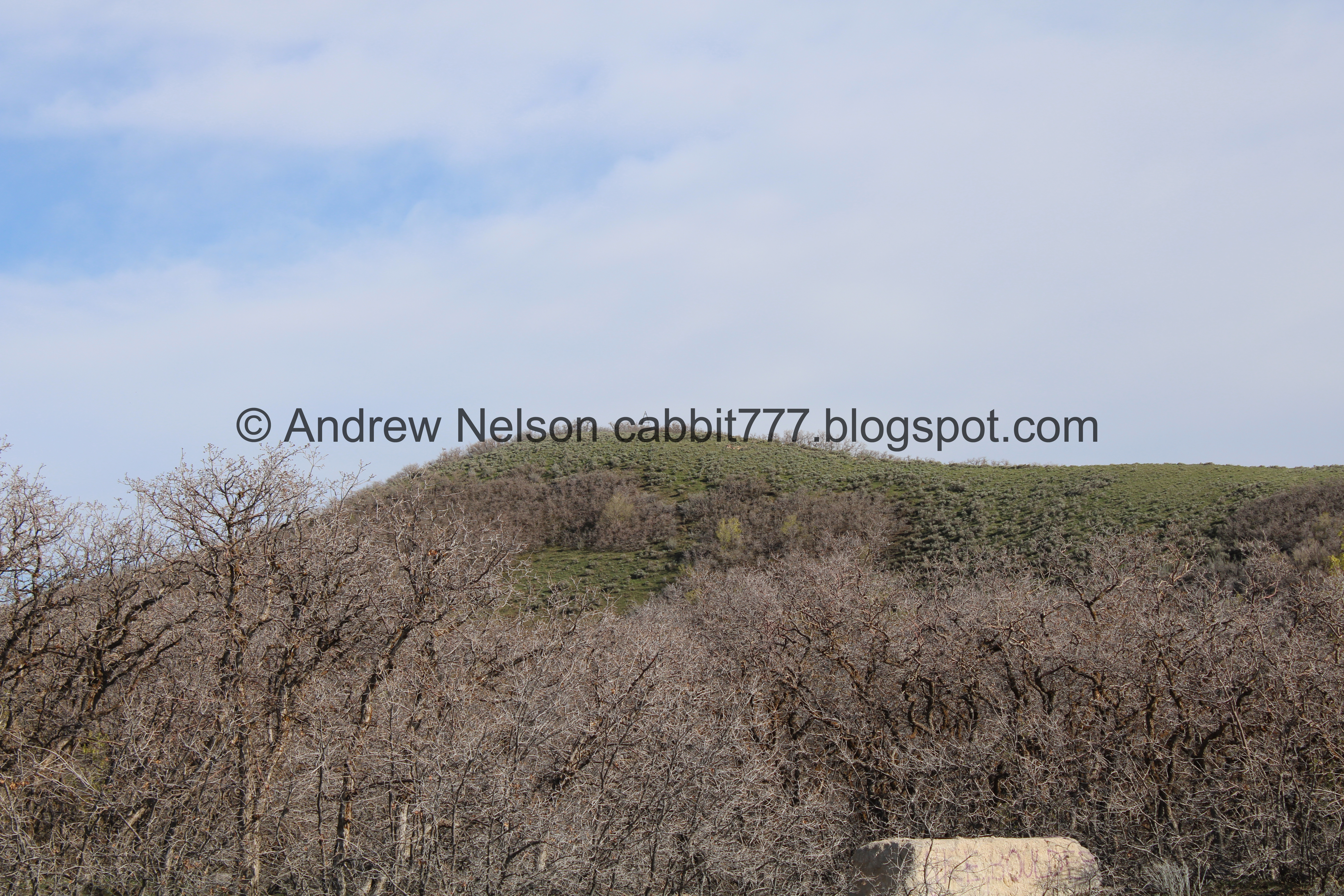
It’s a little hard to make out, but that is our destination. It always seems farther away that it actually is.

A view of Salt Lake County.

Then Utah County.

Back to Salt Lake County.

Back to Utah County.

With Mount Timpanogos.

Back to Salt Lake County.

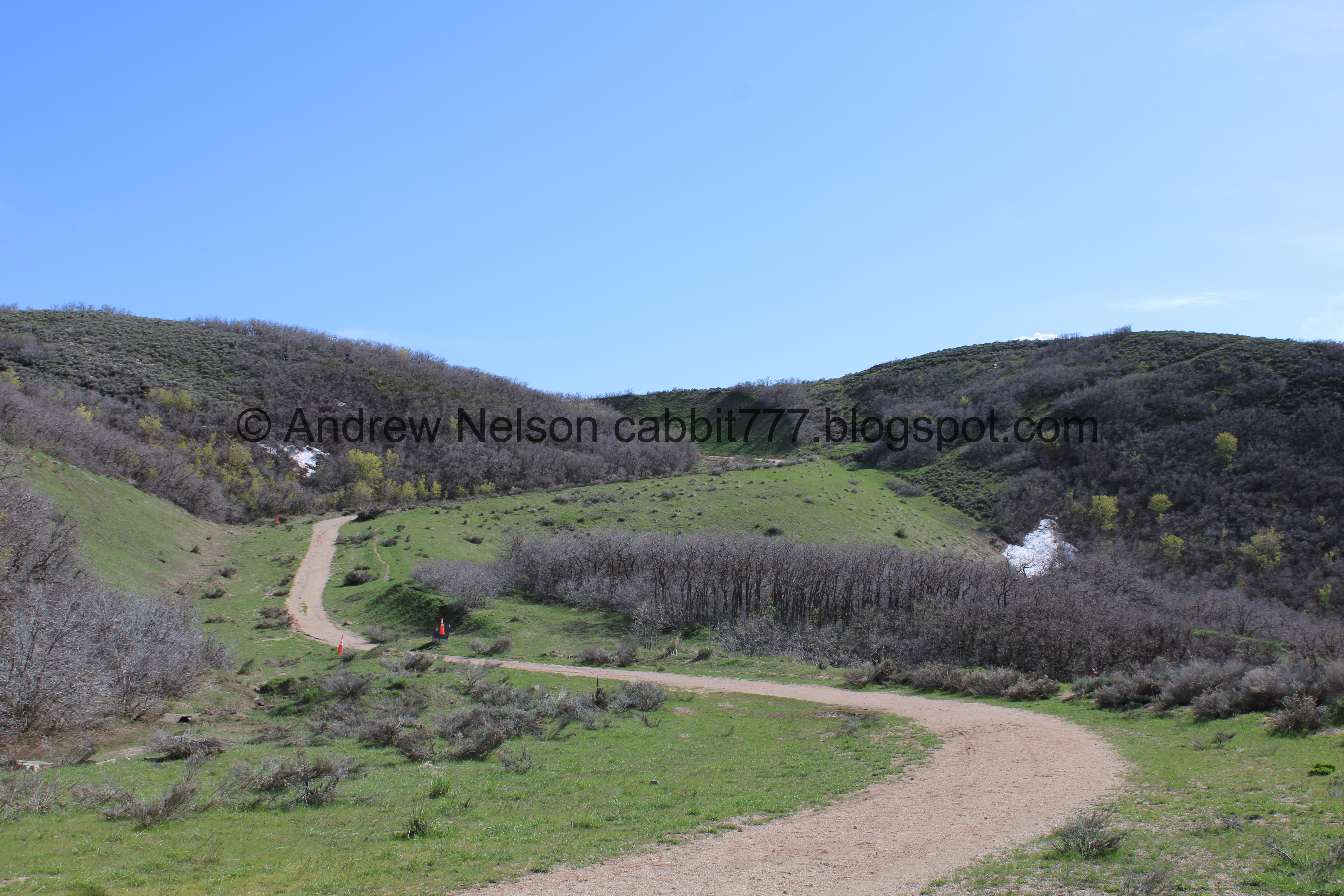
Telegraph Trail.

This area was slated to be developed, which is why the trail is so wide and graded and also why you will find seemingly random utilities.

Green hillsides.

Here is where the loop splits off. Left is slightly shorter and steeper, forward is a constant climb but a little less steep. We generally prefer going forward on the way up, and coming down the other side.

There are still a couple of patches of snow up here.

The Salt Lake Valley again.
.jpg)
Panoramic.
Now we have to climb this.

The Salt Lake valley. You can see The Claw at the aquarium from here.

The valley again.

More snow.

Different angle of the valley.

More climbing.

Water damage.

All of the utilities have a cone by them for some reason.

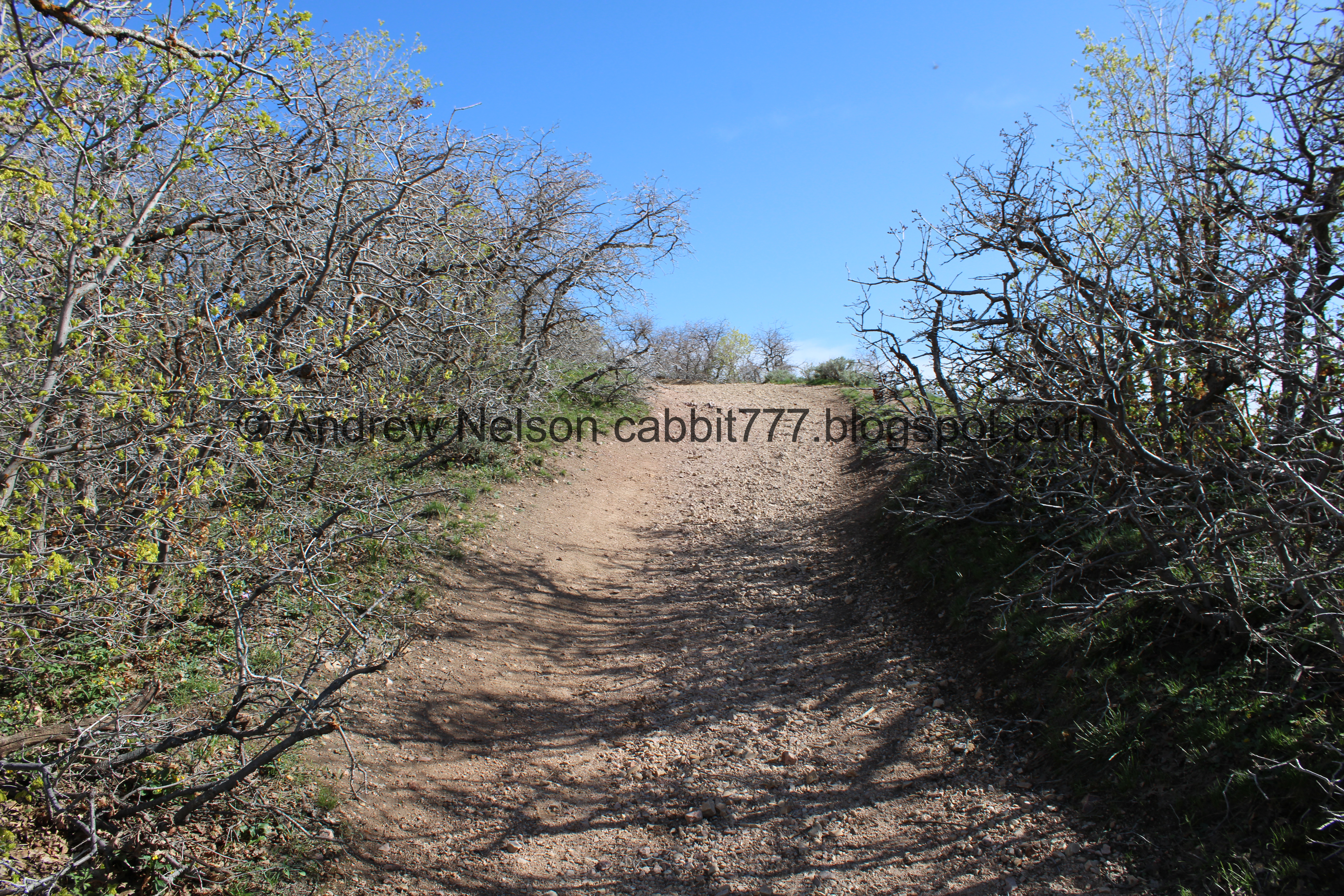
Finally we get a break from the climb for a minute.

The first offshoot to the right. You do not want this one. It appears to just lead to several trails lower down.
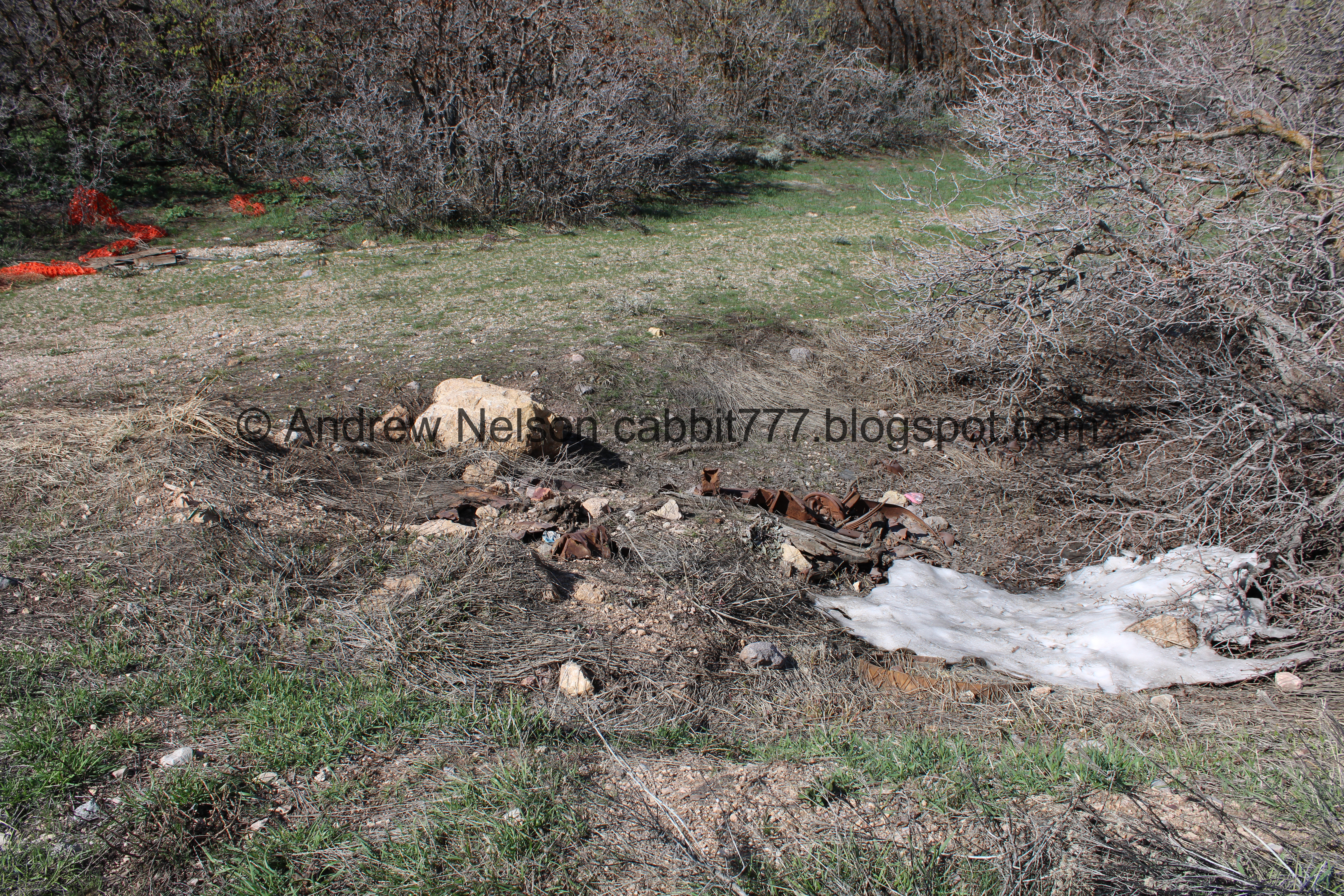
Huh. We’ve never noticed this before.

There isn’t much left to it so we’re not sure but we both thought it might be an old car.

Enjoying the flat before the real climb begins.

We can see our destination a little better from here.

The 2nd turn off to the right, it is about a mile up. This is the one you want. Also, the sign is gone, but last I was aware you need to re-leash your dogs here as you are leaving the off-leash area. Most people seem to ignore that, but so far that has not been a big problem for us. This trail is more than our pups can handle.

Looking at this picture, it looks like that trail to the right might be an easier way to reach that unnamed peak. We did it once a few years ago, but from the next trail and it was a climb! haha. I think maybe next time we will go up this first, and then over to Alien Tower.

Our destination again.

Dry Canyon where you can see Horsetail Falls. and Box Elder Peak.


We saw some huge birds soaring overhead. At first I thought maybe vultures? but then I thought, no looks like shorebirds. Maybe herons? Now I am thinking sandhill cranes. Not sure what they are doing here I guess just working their way to a new water source.

The steepest part up to the ridge.

Up to the saddle where you will find a 4 way split. Forward appears to be closed. Right leads to that little unnamed sub-peak I mentioned earlier, and left leads to our destination.

Mount Jordan and Box Elder Peak. Dry Canyon in between.
I was hoping to get a glimpse of the landslide that took out the 2 houses, but it looks like you cant see it from here. I know this is the right area, but I guess it wasn't quite where I expected it would be.

Our destination.

Now we can see into Utah County again.

Heading up the ridge and into the scrub oak.

Glacier lilies! When I start seeing these guys to me it means spring is here.

Butterfly. We saw a bunch today, but none of them sat still for very long.

Well these are new. This is down trail facing.

More glacier lilies.
Another steep section.


Not sure what these guys are but they are cute.

The ridge is pretty wide and not that bad. My lizard brain twinges a little bit every time, but I manage to power through it.

Utah Lake.

Some paintbrush.

Mount Jordan.

Some kind of vetch.

Nearing the top.

The final push.

Mount Jordan again.
.jpg)
Panoramic to the east. Dry Canyon, Box Elder Peak, American Fork Canyon, Mount Timpanogos, etc. I am not as familiar with the peaks in Utah County.

Utah Lake to the south.
.jpg)
Southern panoramic.
.jpg)
Western panoramic.
.jpg)
Northern panoramic.

Alien tower itself. There was a couple resting at it’s base, so not the full thing, but most of it.
Like I said, I believe this is an old telegraph tower, but I am basing that off of the nearby Telegraph Hill Trail. I have not had any luck finding out for sure.

They finally stepped away.
With the Salt Lake Valley.

Alright, we had our fun and caught our breath, time to head on back.

The ridge. It really is super wide.

Paintbrush.

Looking back at the tower.

The Salt Lake Valley again.

Vetch.

More subpeaks in the area.

The wide ridge again.
.jpg)
Salt Lake and Mount Jordan.

Utah Lake.

This is that sub peak on the other side of the saddle. Going from there will add about 1/10th of a mile.

Some of the trees are starting to green up.

Back down to the saddle. The little subpeak you can add on the other side.

Dry Canyon.

Heading down the steep trail from the saddle. Couple of muddy spots.

Back to the main loop. Here you can remove your dogs leashes again. We decided to head down the other side so we went right.

Nice flat section for a bit.
Looking back at the tower.

Mount Jordan.

The turn off to continue down is a little inconspicuous. It is just after the trail curves to the west. But if you miss it, this trail dead-ends not too much further so it’s not the end of the world.

Its a little steep for a second. The trail to the left is a little less steep.

Through the scrub oak.

Into Utah County again with Mount Timpanogos.

Trees on the edge.

Salt Lake again. You can see the aquariums claw again.

Where the loop connects again. Right will get us back to the trailhead.

Lone Peak again.

No wonder I can never find it from the valley floor. Even from this distance it is hard to make it.

Salt Lake Valley.

Utah Valley.

Looks like we are finishing up just in time with those dark clouds approaching.

Fun clouds.

Hillside greening up.

Nearing the edge of the off leash area. Remember to leash up your pups at the gate.

Trail counter. This just counts how many people pass by it.

All of the recovered items along the trail. I can’t believe how many car keys there were! How did these people get home?

Back to the trailhead.

Passing Potato Hill on the way down (PSP).
I really enjoy this trail, even if it kind of kicks our butts a little bit. It has kind of become our springtime first real climb trail. It is a pretty busy trail, considering there is a whole off-leash area. You will definitely run into off leash dogs. So far we haven’t had any trouble with that. In fact I made a friend today at the peak when I decided to sit down and rest a nice golden retriever decided I was his new best friend. That was fun. 10 out of 10 squirrels today, with the understanding that I have been itching for a good climb for a minute now.
As for difficulty, it is mostly a graded dirt road, but it is still quite a climb! DR3.
Dogs are allowed, and for most of it off leash even! Please pay attention to the signs, and clean up after your pups so we can continue to have this amazing resource to enjoy for years to come.

No comments:
Post a Comment