.jpg)
The Flanders Point Loop trail in Dimple Dell is an easy scenic loop in Sandy. It features excellent views of Dimple Dell and Mount Jordan. Some wildflowers as well as some nice informative signs that tell you about the plants and other stuff. It was one of those days that rain was threatening on and off, and we were not sure what our mothers day plans were yet. So we changed our original idea and did this instead. We've done it before, but it is a nice hike.

Quick Details:
Length: Approximately 1.3 mile balloon. Which can be made shorter by using a neighborhood connector trailhead.
Trail Type: Balloon.
Difficulty: DR3. Very mild elevation gain.
Elevation Gain: About a 100 feet.
Restroom: Usually yes. But it is currently being rebuilt.
Dogs? Yes, leashed.
Other Info: The Wrangle Trailhead is currently closed for improvements. There appeared to be an access point east of it that we used today. If you are not sure about that you can use one of the neighborhood connectors on Flanders Rd, Edgecliff Dr, or Sego Lily Dr. I recommend Flanders Rd.
To Get Here:
Take 106th South to 13th east, Go north for about 1200 feet then turn right*. Go another 300 feet and you will see the Wrangler TH on the right.
*if you pass Smiths on 13th east, you went to far, but go ahead and turn into their parking lot and head south it’ll get there too.

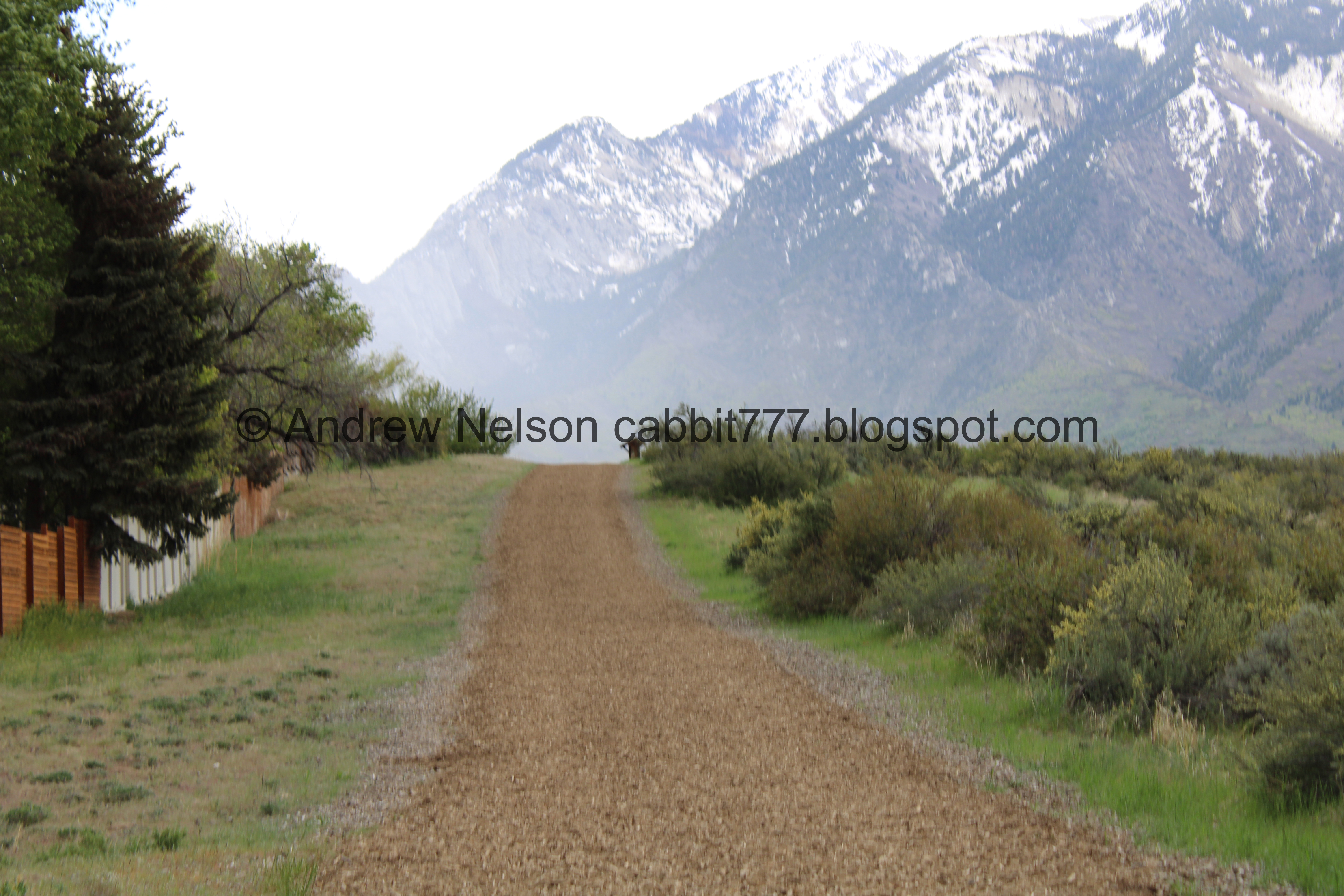
Of course after getting ready to head out the skies opened up (Passenger Seat Photography (PSP)). This changed what I had planned to do today so we randomly ended up at Dimple Dell instead.

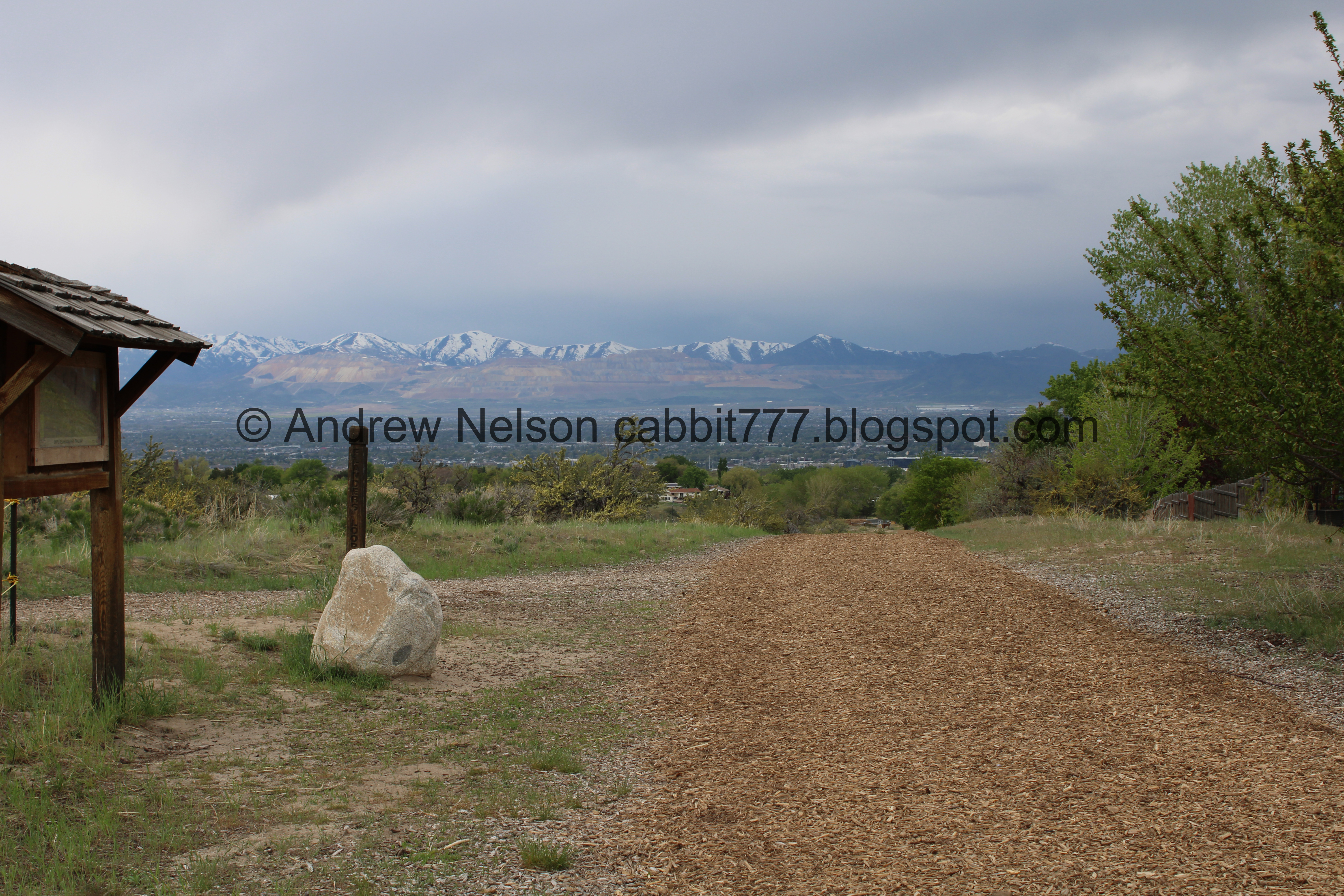
Storm over the Valley (PSP). Lucky for me, it stopped as we got closer to the trail. But we were still nervous about another one coming in so we wanted to ensure we were not too far from 'scramble back to the car' distance.
The Trail:

The Wrangler Trailhead is currently closed for construction. They have completely torn out the restroom so far! As I understand it they are making improvements and making it more ADA accessible.

However we noticed this little opening that did not appear to trespass upon the construction area. As I mentioned above, if this feels too sketchy for you you can use one of the neighborhood connectors.

It looks like they are also re-mulching the trail.

Right off the bat you get an excellent view of Mount Jordan.

Moody clouds.

Looks like Bell Canyon is getting rained on.

Mount Jordan again.

Closer look at Little Willow Canyon.
New mulch. This trail starts along the North Rim Trail.

Storms over the valley.

The turn off for the loop.

Heading out to the point.

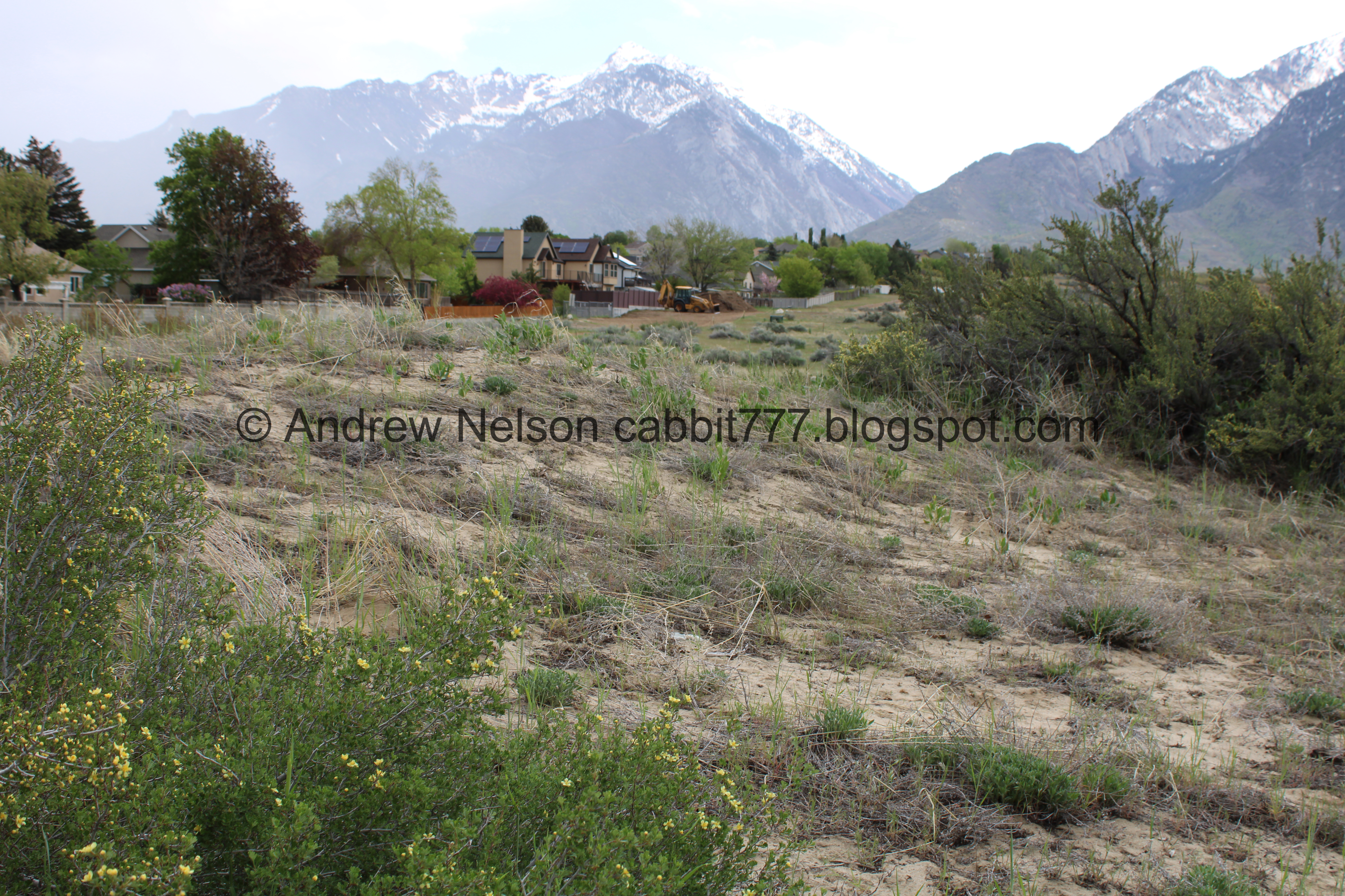
Sand dunes.


Pretty flowering bushes. I was curious what it was and figured I’d figure it out when we got home, luckily I didn’t have to wait that long.

They are Bitter Brush, aka cliffroses.

There was one with the sign. I have found that sometimes when they place signs about a plant, the plant is not there. So this was nice.

Storms over the valley.

Sand dunes.


Gambel oak. We tend to generalize these, and several other species of small shrubby oaks as scrub oak.

More bitter brush.

Twin Peaks and Little Cottonwood Canyon.

More bitter brush. Wow, it really is prolific through here.

It looks like they might be building a new trailhead? It seems too narrow to be more houses. Ooh! Just confirmed one of the trailhead ADA improvements they are making is Badger Cove. That road down is called Badger Cove.


Fragrant sumac.


Hawk silhouette. I’m leaning towards a northern harrier, but I am not very good at identifying silhouettes.

More storm clouds.

More sand dunes. The leading theory as to how Sandy City got it’s name is due to it’s sandy, thirsty soil.

There are a few Native American campsites throughout the park.

Looking down into the gully.

Fire recycles the landscape.

I don’t see the burn marks the sign talks about.

Storm clouds again.

Looking across the point towards the North Rim Trail.

The Dry Creek Overlook.
There is a bench here that you can stop and take in the view. It is a nice view!

Phlox.

Another view of the what I think might be a new trailhead.

I don’t know what this is, but it is adorably tiny.

Larkspur.

Continuing along the loop.

More storm clouds.

Native Wildflowers.

Some of the signs are repeated.

Looking across the point.

Cryptobiotic Crust. Just like we have seen in places like Arches.

Little Cottonwood Canyon again.

Mount Jordan.
Lets see, Bell Canyon, Dry Canyons, Rocky Mouth Canyon, Big Willow Canyon, and Little Willow Canyon, Bear Canyon. Ooh, maybe I will see how the trail through the Dry Canyons is coming along soon.
.jpg)
Panoramic of Twin Peaks, Little Cottonwood Canyon, and Mount Jordan.

Dry Creek and Lone Peak.

Lone Peak again. I don’t see the ditch the sign mentions.
.jpg)
Panoramic.
.jpg)
Another, including Twin Peaks.

The gully again.

I think there might be some cryptobiotic soil in here, but I am not 100% sure.

Pioneer Story.

Sego Lily Overlook. I would have thought this would be a good year for them, sadly no lilies today. Maybe it’s still too early.

Still a nice view.


Fascinating Geology.
.jpg)
Another panoramic.

Looking across the point again.

Great Importance to the Community. I would say! I love the gully.
Oh, and this answers my previous question. Sego Lilies don’t bloom until June. So… maybe we’ll come back.

Eventually we made it back to the North Rim Trail, now we just need to follow that back to the trailhead.

East end welcome sign.
That is interesting that it is one of the last remaining area’s in Salt Lake County where we can view the landscape as it was when the pioneers ventured into the valley.

East end trail marker.

Heading down the North Rim Trail.

Steep Mountain with Point of the Mountain to the right.

The Kennecott Open Pit Mine.

Looking across Flanders Point.

Bunches are Better.
This talks about the native grasses that grow here.

Another pile of mulch.


Pretty flowering tree in a neighboring property.

They have also put in a doggy water station. That is super friendly.

Weeds Are Wicked.

There appears to be a missing sign as well.

Looking back at Mount Jordan.
Back to the west end of the loop.

Another pretty flowering tree.

The valley below.

More bitter brush.

Another flowering tree.

I had originally intended to do the Sego Lily Trail today, but we came across this sign that appeared that it was closed? We had a hard time interpreting the closures from this map. Now that I am looking at it again, we might have used a closed trail. Oops. But no work was going on so I don't feel too bad.

Back to the under construction trailhead.


Some pretty flowering trees in the parking lot.
Well, that was a fun hike. It wasn’t what I wanted to do but sometimes you have to make adjustments due to weather. It was almost completely deserted probably due to a combination of weather and the trailhead closure. Going with 7 squirrels, with 1 removed due to the confusion of the trailhead closure.
As for difficulty, it is a pretty mild climb. DR3.
Dogs are allowed, but must remain leashed.

No comments:
Post a Comment