.jpg)
Memory Grove is a nice canyon park located in downtown Salt Lake City. It features a small pond, a creek, a nice grassy area with monuments, and a nice wild forested area. The lower section is a nice forested creek side park with the monuments. The upper section is the nice forested section that is also an off-leash dog area. We have done it before, but it has been a while.

Quick Details:
Length: About 2.58 miles out and back.
Trail Type: out and back, loop option.
Difficulty: DR3. It is really easy going.
Elevation Gain: About 280 feet.
Restroom: No.
Dogs? Yes! Leashed in the lower section, off-leash in the upper.
Other Info:
To Get Here:
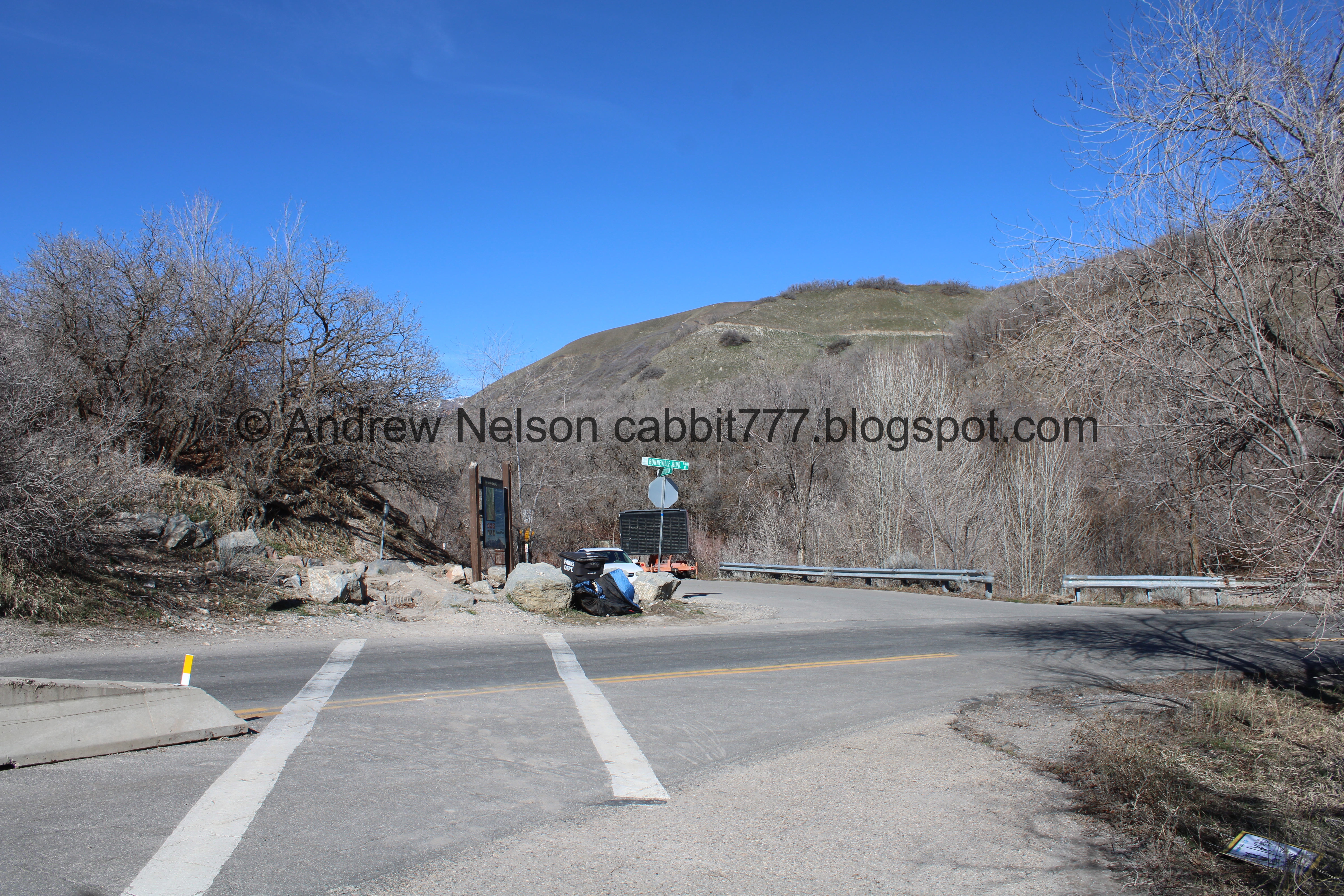
Take North Temple Street east. Take the first left after State Street (the signage sucks but this is Canyon Road. Follow Canyon Rd for about 3/10’s of a mile to the gate the closes the road off. Find street parking.

Cool old church (Passenger Seat Photography (PSP)).

Big ass red bull (PSP). I assumed, and have since proven that it is a fancy smancy restaurant.

The Salt Lake Temple is still under renovation (PSP). It really looks weird like this.
The Trail:

Looking back at the city from the park entrance.

The park entrance.

There are quite a few pentagrams around the park.

The Zucker Fountain. I have only ever seen this running once. However, I do tend to do this trail in the colder months so, my fault.
.jpg)
The park.

This World War 1 memorial is apparently called Pagoda.

The pond.

Korean War Wall of Honor.

Liberty Bell Replica. We’ll get a better view of that on the way down.

The pond and the Utah State Capitol in the background.

Another monument.

City Creek. Shortly after this park it goes under ground until it joins the Jordan River. I will never understand why our ancestors decided burying creeks was the best option.

The Meditation Chapel.

Closer.

The creek again.


The 145th Field Artillery Monument.

Little waterfall.

Another one.

The Austin Stairs.

There are a pair of pentagrams at the bottom.

Weird alter looking thing at the top.

A look at the Capitol again.

After the stairs we reached The Freedom Trail and the off-leash dog area.

The end of the pavement.

Another little waterfall.

The creek.

I bet in about a month or so it will green up and be super pretty.

Itty bitty waterfall.

The creek again.

Squirrel!

Little bridge.

Another one, with a fun tunnel.

More forest.

Forest and creek.

Another waterfall.


Coming up on what we used to call the witches hut. I don’t know what it really was.

The front.

Panoramic.

The canyon walls are getting higher.

Old long pipe.

Another bridge with a fun tunnel.

Trail split. It looks like they rejoin not much further up so I don’t think it matters which one you take. We decided to go left.

The creek again.

A set of small waterfalls.

A large slab of cobblestone wall, which is a little ways from the creek. I wonder how it ended up here.

Seating area with cobblestone pillars.

From the side.

There is a section of the dirt trail up ahead that I remember not being particularly fond of, so we decided to cross the bridge and do Canyon Road the rest of the way. This worked out, because the dirt trail ends not much further up, and I was hoping to make it up to the upper pond. Also, this is the highest bridge up.

Downstream.

The old road is in pretty good condition.

The section of trail I was avoiding. it’s just a little thin and higher up. I have done it a few times, and it isn’t super bad, I just don’t particularly like it and I figured why bother if I can bypass it.

I think this is the biggest of all the little waterfalls.

Random side stream of some sort.

The creek again.

Continuing up the road.

Cliffs.
The Freedom Trail on the other side of the creek heads up the hill, steeply before here and ends at Bonneville BLVD. It is another 3/10ths of a mile to the top. So yeah, I am glad we decided to cross over to the old road when we did.

I think these are willows with the new growth coming in yellow.

Continuing up the road.

Where the creek comes out from under Canyon Rd. as it turns to join Bonneville BLVD.

After Canyon Rd. curves to the right there is a little dirt spur off to the upper pond.

The upper pond is kind of meh.

Yeah, meh.

After Canyon Rd. there is a paved pedestrian path continuing up.

The pond below.
Crosswalk across Bonneville BLVD. Vehicle traffic is one way, but you never know if a bike is coming down at a high rate of speed (happened to us today) so you know, safety first, look both ways.

The we reached City Creek Canyon. You can keep going for quite a ways up here.

City Creek Canyon Rd. We decided this was a good turn around spot.

The Bonneville Shoreline Trail passes through here.

Sign telling you that the off-leash area is still 2180 feet ahead. I think I missed the sign where it ended on the way up. But I imagine it was likely about where the Freedom Trail ended.

Heading back down Canyon Rd.

Landis noticed a few red acorns and thought it was odd. I just realized it it because the outer shell has split open and we are seeing the inside of it. So no weird acorns, just opening up acorns.

The canyon road again.

The cliffs again.
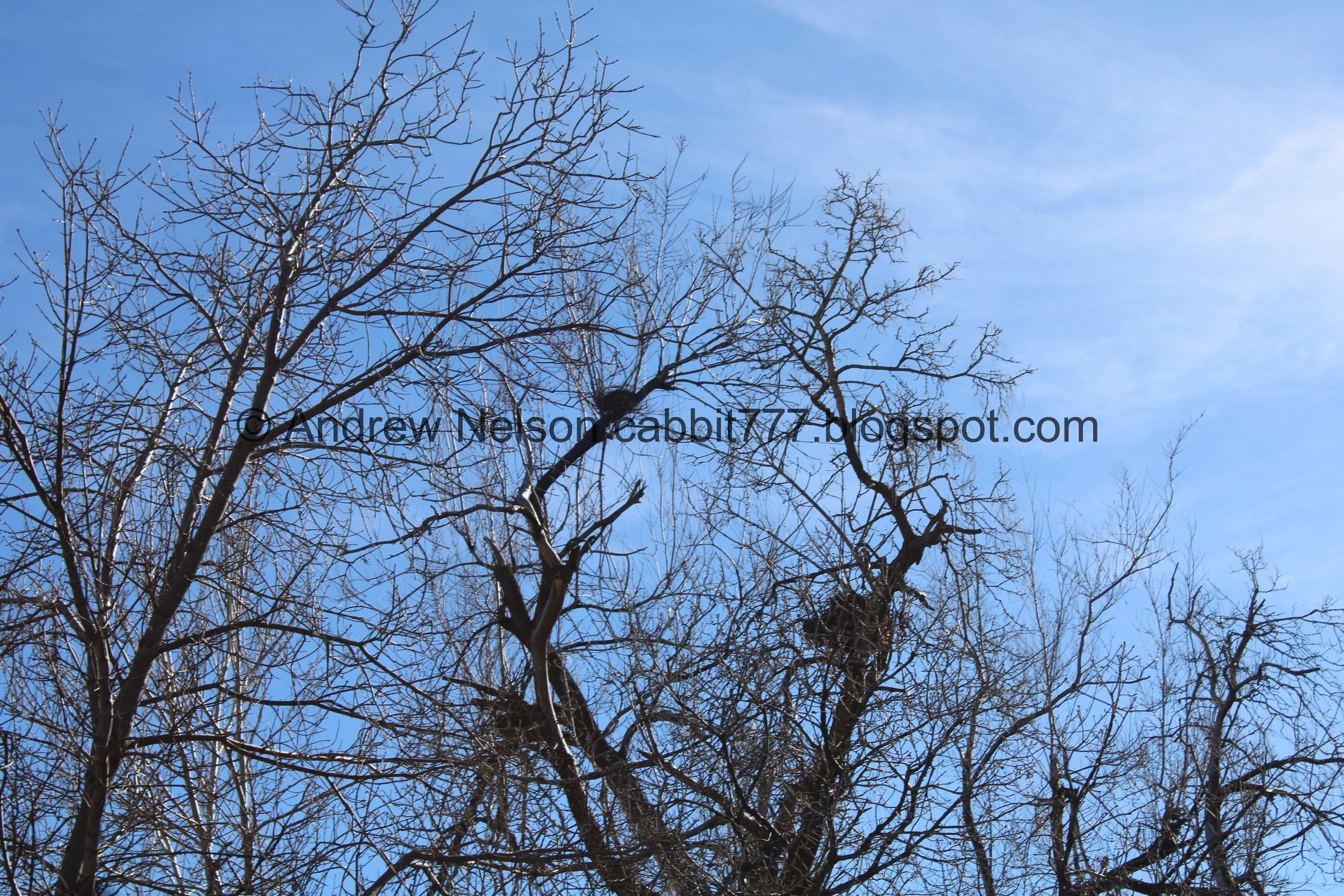
Bird nests.

The creek again.

Bonneville BLVD. above.

At the bridge just below the final upper bridge we decided to cross back over the creek back to the freedom trail.

Downstream.

Upper waterfall.

Lower waterfall.

The creek again.

Bridge with a fun tunnel.

The black pillars again.

Back down to “the witches hut”.

The front.
.jpg)
Another panoramic.

Waterfall.

The creek.

Another bridge with a fun tunnel.

Trail and creek.

Little waterfall.

Another waterfall.

Back to the paved, lower section. Leash up your dogs here.

The Austin Stairs again.

The alter looking thing again.

In memory of James B Austin killed in action in Argonne Forest. October 9th, 1918 in the world war.
“The world war” I guess the plaque was placed before world war 2.

Looking down the stairs.

Bridge over the creek.

Waterfall.

We decided to take the shorter route back and head over the bridge.
3 waterfalls upstream.

The lower section of the park.

Memorial House. We have actually been to a wedding reception here quite a few years ago.

Back to the lower pond.

The Liberty Bell Replica.

Sign about it.

Closer.

Underneath.

The pond again.

The pagoda again.

Back down to the park entrance.

Hillside greenery.

Some purple flowers coming up. Hooray, spring is coming! Actually, to be precise the first day of spring is this upcoming Tuesday the 19th.

Aww, the little side stream thingy is dry.

We noticed the plaque in the sidewalk. We wondered what or who is Montane Vole? I recognized that vole’s are an animal here, so I figured that was a particular species.

A secondary plaque confirmed my suspicions that these are various animals.

Then a 3rd really cemented that. It looks like the plaques continue down the sidewalk, but we did not walk all the way down to see them all.

The park entrance again.

Old firehouse (PSP).

The high rises of downtown (PSP).
Well that was fun. It’s been a few years since we have been here. The park was very busy, but it thinned out a little bit in the upper section. I am also happy that we finally made it to the top, and happy to learn the Freedom Trail doesn’t quite go that far. Plus is was an absolutely perfect day, weather wise. However, I think it will be a little prettier once it starts greening up. I am going to go with 9 squirrels today, losing one for the parking situation.
As for difficulty, it is really a gentle climb. DR3.
Dogs are allowed! Leashed in the lower park section, un-leashed in the upper wild section. Please be sure to clean up after your firry friends.

No comments:
Post a Comment