.jpg)
Sugar House Park is a large park in the Sugar house Neighborhood of Salt Lake City. It is a big one way loop road that offers views of a well manicured park, the mountains, a pond, and Parleys Creek.
It has been a pretty rainy day so we wanted to do something that wouldn’t be muddy, and would be a quick run back to the car in case it started to rain again. Yay Utah. So this was a good option for that. Plus it was nearby some other things I wanted to see. So, even though we have done it before we decided this was a good option.

Quick Details:
Length: The main loop is about 1.4 miles. We added an out and back trip along the creek that was about .62 miles out and back for a total of 2.02 miles.
Trail Type: Loop with optional out and back spur.
Difficulty: DR2 for the loop, DR3 for the spur.
Elevation Gain: About 100 feet.
Restroom: A couple of options, yes.
Dogs? Yes, but they must be leashed.
Other Info:
To Get Here:
Take i80 to the 13th east exit. Head north on 13th east to 2100 S. turn right. Take the first right into Sugar House Park.
It is a one way loop, so park wherever, you will get back to your car eventually.
The Trail:

Moody skies over the pond.

Walking along the paved loop.

The pond again.

The old Sizzler restaurant. It closed in 1019 or 2010 and Kum and Go (bought out by Maverik) bought the property, but the city said no to a gas station due to the proximity to the creek. It is still up in the air as to what might happen with it. I think it should be sold back to the city and converted back to green space, or if failing that maybe a nice outdoor restaurant with quick serve options. But, I guess we will see what happens.

The tunnel under 13th east that heads towards Hidden Hollow.

Sugar House Pond.

Again.

Duck butt!
.jpg)
Panoramic.

Where Parleys Creek leaves the park. The creek continues down in nearby Hidden Hollow before it goes underground.

The pond again.

Again.
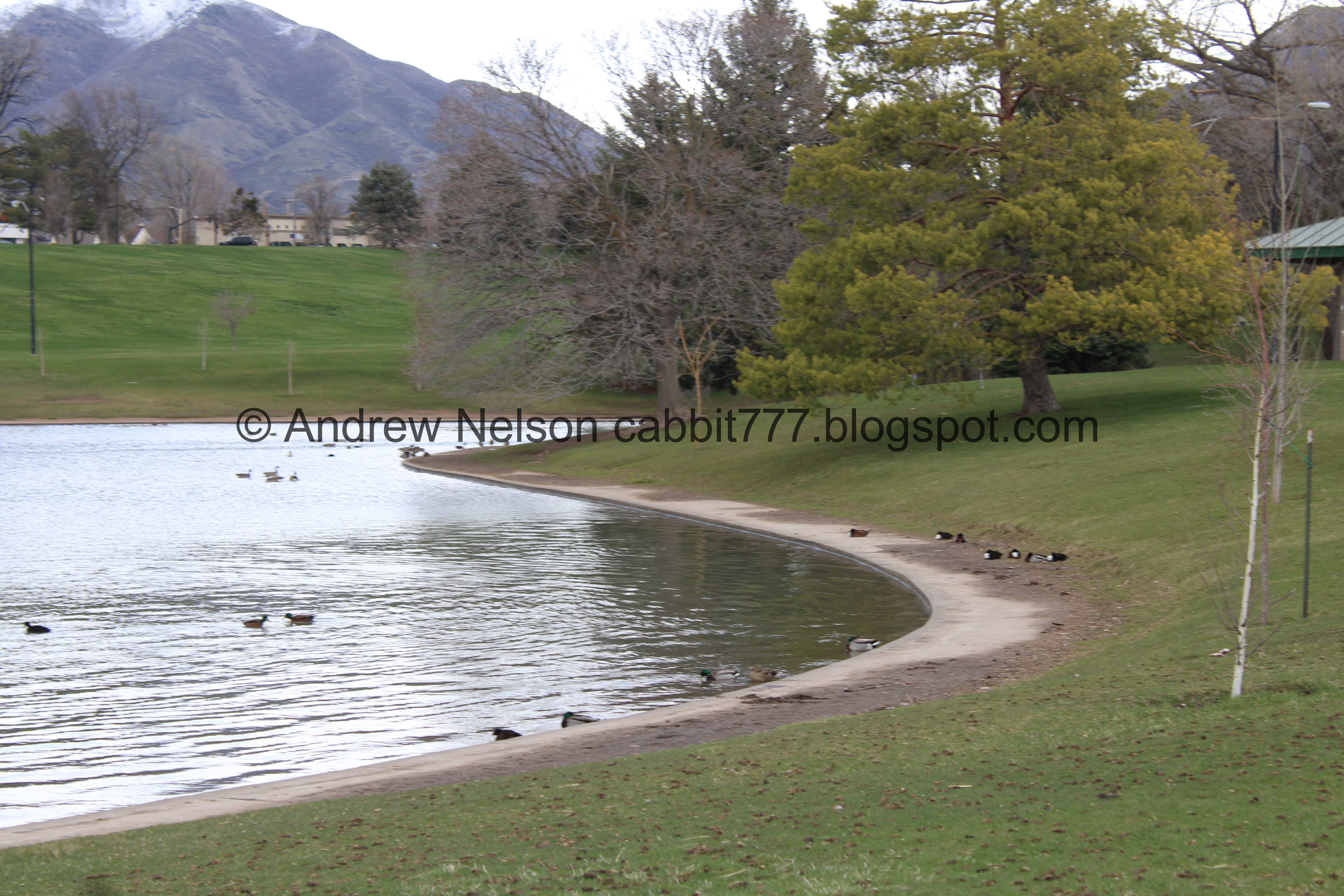
Lots of ducks.

Little bit of a hill.

Mountains.

Pavilion and playground.

I still wonder why they trimmed several of the trees in the park like this, cutting all the branches off and leaving a tall trunk. It’s weird.

More mountains.

Another tall stump.

Fun clouds.

It looks like there is a Jesus in the tree. Pareidolia is fun.

Here the road curves in on itself while going back downhill.

Walking lane and biking lane.

Another pavilion and playground.

Mountains again.

Parleys creek comes down along this line of trees.

Where the road curves back in. It is a lot less busy today than it was the last time we did this.

Parleys Creek.

Again.

Pouring out of the culvert under the road.

This storm drain goes directly into the creek. You can even see it flowing underneath.

The creek again.

Nice big green area.

The creek again.

A high school.

More green space.

Another tall stump.

A little free library.


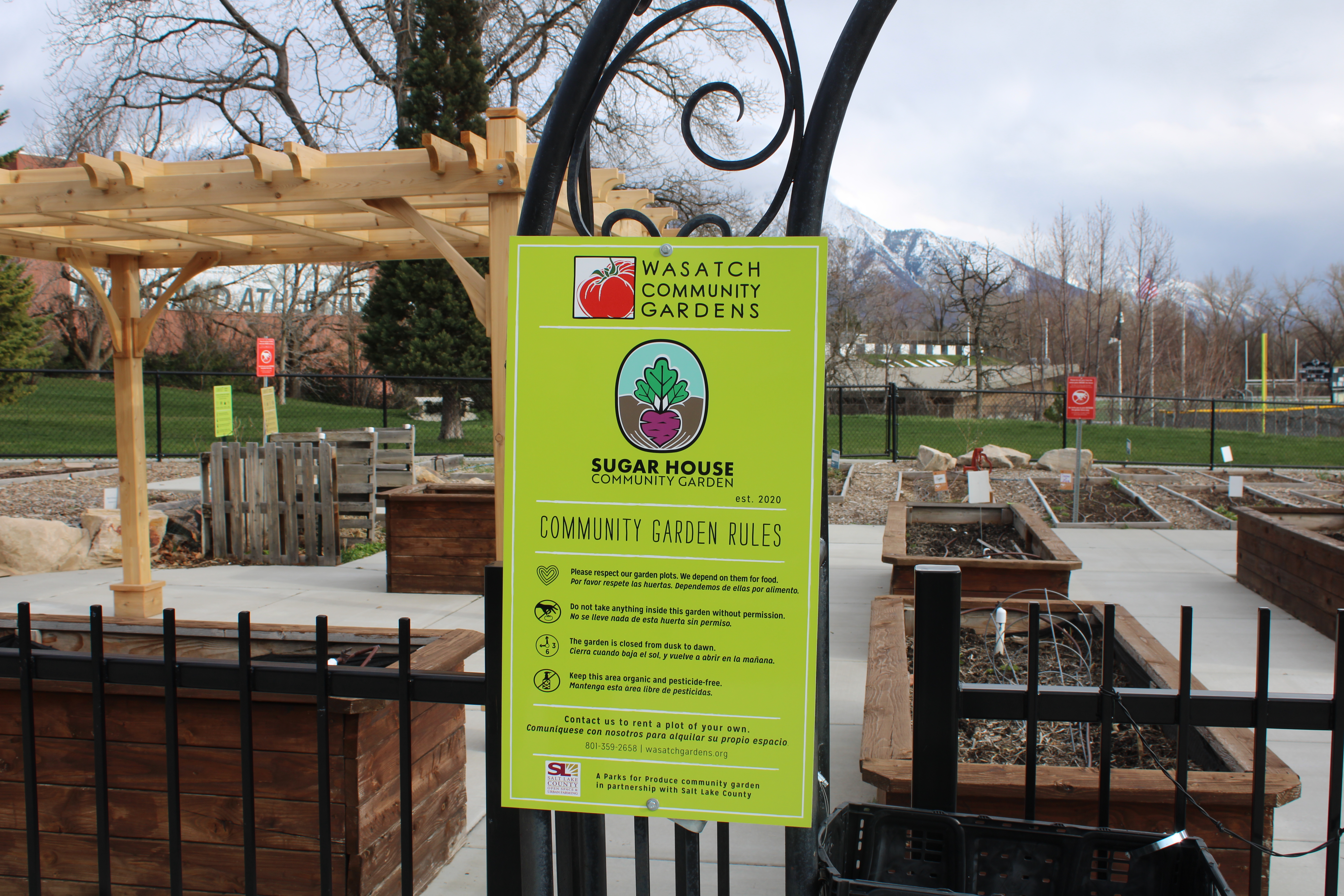
A little community garden. I seem to recall this was a rose garden years and years ago. But I could be wrong.

Apparently any food on the outside of the gate is fair game.

Tree with colorful bark.

A couple of them.

I am guessing these might be from the old rose garden.

The garden club.

After a short climb back up it levels out again.

More fun clouds.


More green space and trees.

One of the exits.

Park sign.
We had a fun reversal today. Earlier we saw what appeared to be a bank turned into a restaurant, and here we have restaurant turned into a bank. It looks like it used to be a Dunkin Donuts.
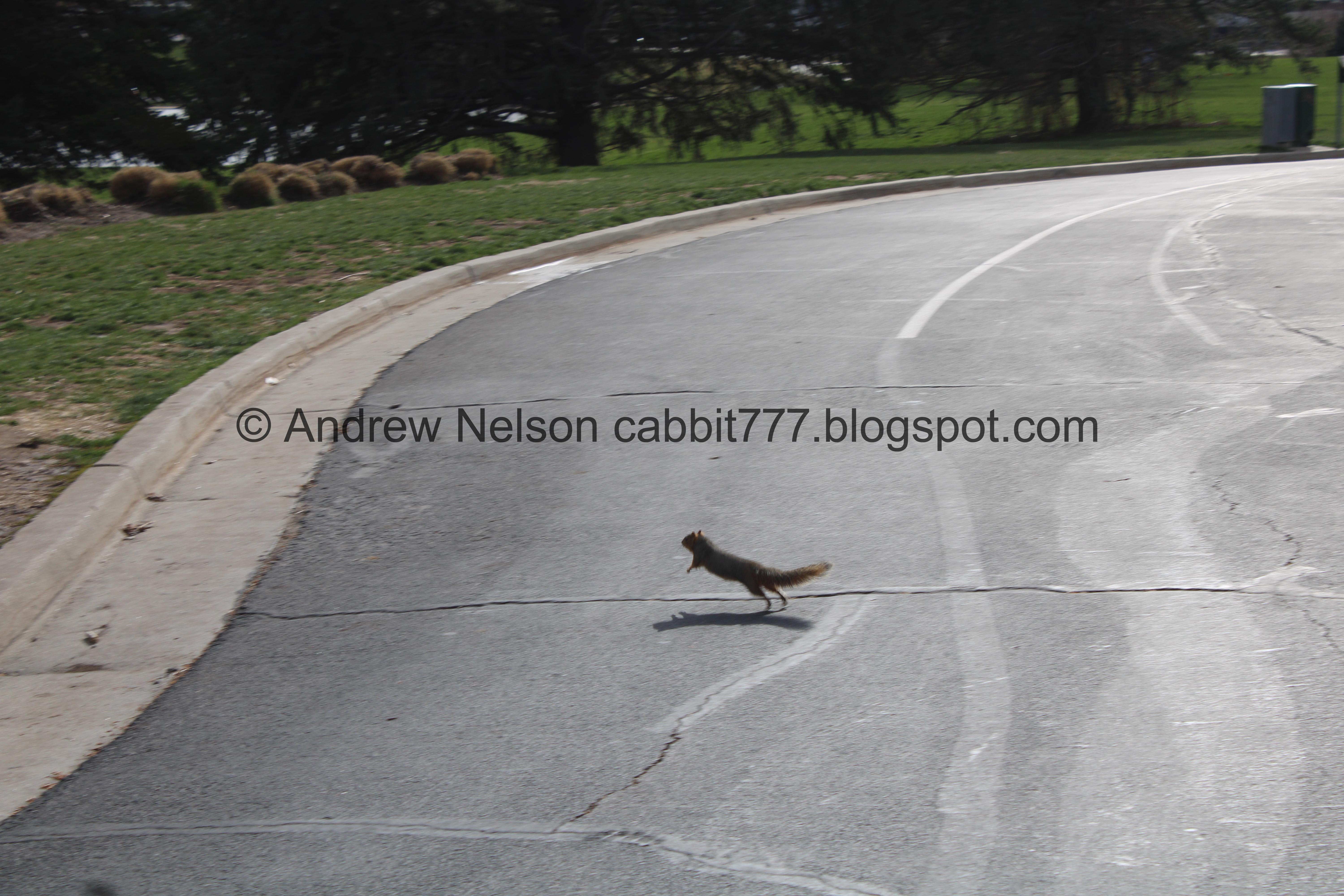
Big ass squirrel!

Continuing along.

The park again.

The mountains again.

We get a glimpse of the pond below again.

We found a random monument to Joe Hill. Songwriter, Itinerant Laborer, Union Organizer.

The other side.

The other entrance/exit.

More fun clouds.

The pond again.

Park rules.
Well we made it back to the car, but I decided I would like to explore the creek today. So we drove around to the little parking lot on the north side of the pond.

Lots of ducks, seagulls, and pigeons (Passenger Seat Photography (PSP)).

The pond again.

Hello seagull friend. They don’t usually let you get this close, however I am sure all of the birds are very well fed so probably more used to humans.

Some ducks approaching us hoping we had something to offer. Sorry cuteys I didn’t think to bring anything safe for you to eat.
As a general reminder: Do not feed ducks bread. It pollutes their water, and does not provide the nutrition they need. Instead try Cut Seedless Grapes, Cooked Rice, Birdseed, Peas, Corn, Oats, & Chopped Lettuce. I imagine the same idea applies to other shorebirds as well.

Some napping ducks.

Where Parleys Creek enters the pond.

The pond again. It is quite full, I wonder if it will flood again this year. After last years epic winter it flooded pretty badly. However, it was doing it’s job. It was designed to catch flood water before wrecking havoc downstream.

More ducky friends.

Parleys Creek again.

Random bunch of golf balls. We thought this was really weird and random. However now that I am thinking about it, there is a golf course that the creek flows through just upstream so they probably flowed down from there.

More ducks.

The creek flowing over the cement ring around the park. I wonder if that is just what it always does, or if it is a little high right now and overflowing. Anyway, it might be manageable with waterproof boots, but I am not sure if I would risk it myself. There is a bridge not much further upstream if you want to safely circumnavigate the pond. That was not my goal today though, maybe next time. We continued following the creek upstream.

Some rapids.

Looking back towards the pond.

The creek again.

We found a couple of these random cement pads along the creek. I mean, I guess they could be fun to bring your own chairs and hang out on next to the creek. However I wonder if there might have been another purpose?

Little tree islands.

Someone left a rose on this one.

The other one.

Trees and the bridge over the creek I mentioned.

The creek again. There seems to be a more defined trail on the other side so we decided to cross the bridge here.

Looking upstream.

Another big ass squirrel.

Scrambling around the tree.

Another one nomming on something.

Back to the other guy. Goodness they are so cute.

Back to the guy with a snack.

Up into the trees.


Trees.

The creek and another one of those little platforms.

Little waterfall.

Closer.

The creek again.

Safety warning. It seems okay right now, but in a few weeks or so it could be a raging torrent.

The creek again.

Wider section.

Downstream.

Another squirrel friend.

Up the tree he goes.

Some ivy.

Another platform.

The creek again.

Again.

We made it to the east side of the loop, where the creek comes out of a culvert underneath it. The creek does continue up a little ways further upstream within the park, but we decided this was far enough today. Although, if I ever get around to doing that last bit in the park I can say I have walked along all of the public section of the creek.

Heading back downstream.

The wider part again.

The creek.

The little waterfall again.

A bench dedicated to Lorraine Rubell Hatch.

Another squirrel friend.

Super cute!

Back down to the bridge. We decided to cross back over because we weren't up for going all the way around the pond.

Downstream.

More clear cut tall stumps. I seriously am very curious why they have done this here.

Pavilion with tall chimney grills.

Little island.

Another one.

I thought for a second that some kids had missed their Easter eggs. However moments later I noticed an adult hiding some more so I guess they are getting a later start.

Back to where the creek enters the pond.

Flowing over the sidewalk ring.

The pond again.
.jpg)
Panoramic.

More ducky friends.

More fun clouds.
.jpg)
Another panoramic.

More ducks.

Ducks, seagulls, and pigeons.

Pretty beige ducks.

Pigeons and ducks.

Pretty pigeon.

Mountains (PSP).

Driving around the loop towards the exit on the north end (PSP).

Passing over the creek again (PSP).

Just to the east of the park is the Garden Center which had this little memorial sign for the Blue Star Memorial Highway.

The Garden Center (PSP).
Well that was a fun walk for a moody day. It wasn’t as busy as the last time we did it. I also am really glad we decided to walk along the creek section. Now I can say I have walked along most of what is available to the public. The main loop I think will bump up to a 6 squirrel rating, and 8 squirrels for the creek section.
As for difficulty, the main loop is paved and the hills are pretty gentle. DR2. DR3 for the unpaved creek section.
Dogs are allowed but should remain leashed at all times.

No comments:
Post a Comment